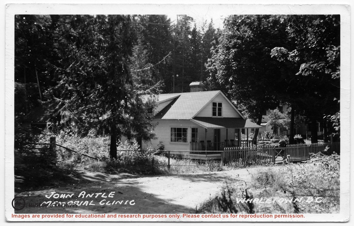
Photograph of the clinic building, with the Rectory beside it. Note the lack of telephone and electrical lines, which indicates the date is between 1950 and 1969.
Photograph of the clinic building, with the Rectory beside it. Note the lack of telephone and electrical lines, which indicates the date is between 1950 and 1969.
Coloured map of southwestern BC showing municipalities, geographical features, land and sea routes, natural resources, etc. The back of the map is fully printed with information about BC and suggested travel itineraries.
Map needs preservation: edges are frayed and there are several tears.
Coloured map of southwestern BC showing municipalities, geographical features, land and sea routes, natural resources, etc. The back of the map is fully printed with information about BC and suggested travel itineraries.
Map needs preservation: edges are frayed and there are several tears.