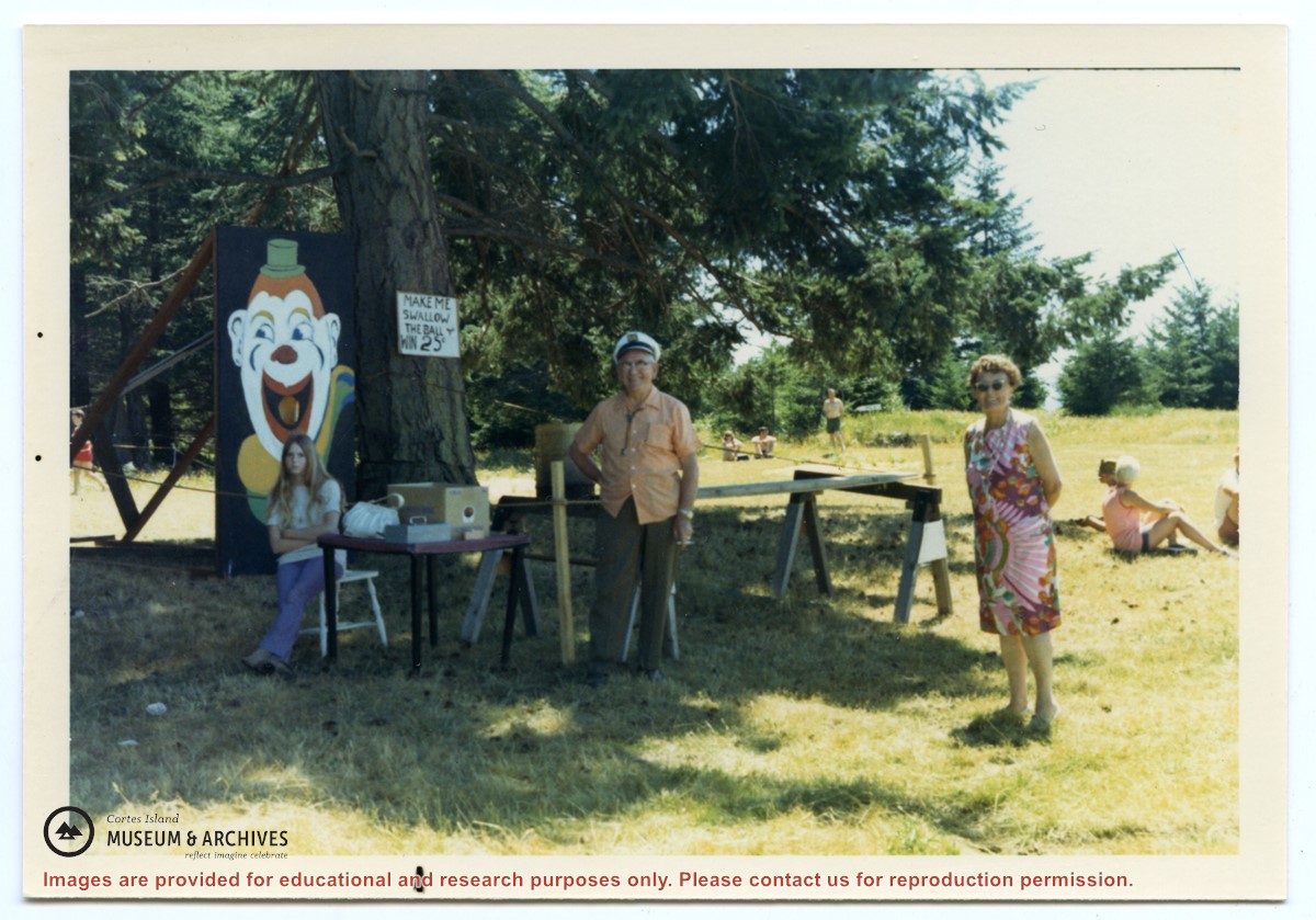
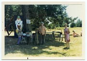
Photograph, taken at Smelt Bay on Cortes Island Day, of Bill Jenkins and Jean Jenkins (R) beside a booth with a sign that says "Make me swallow the ball". (check)
Photograph, taken at Smelt Bay on Cortes Island Day, of Bill Jenkins and Jean Jenkins (R) beside a booth with a sign that says "Make me swallow the ball". (check)
Clippings, emails, posters, brochures and pamphlets with info on museum history and featuring museum exhibits and events, 1996-2017. Copy of B.C. Museum Roundup, British Columbia Museum Association, 2001. Info on Museum stats and lease, 2010-2017
Clippings, emails, posters, brochures and pamphlets with info on museum history and featuring museum exhibits and events, 1996-2017. Copy of B.C. Museum Roundup, British Columbia Museum Association, 2001. Info on Museum stats and lease, 2010-2017
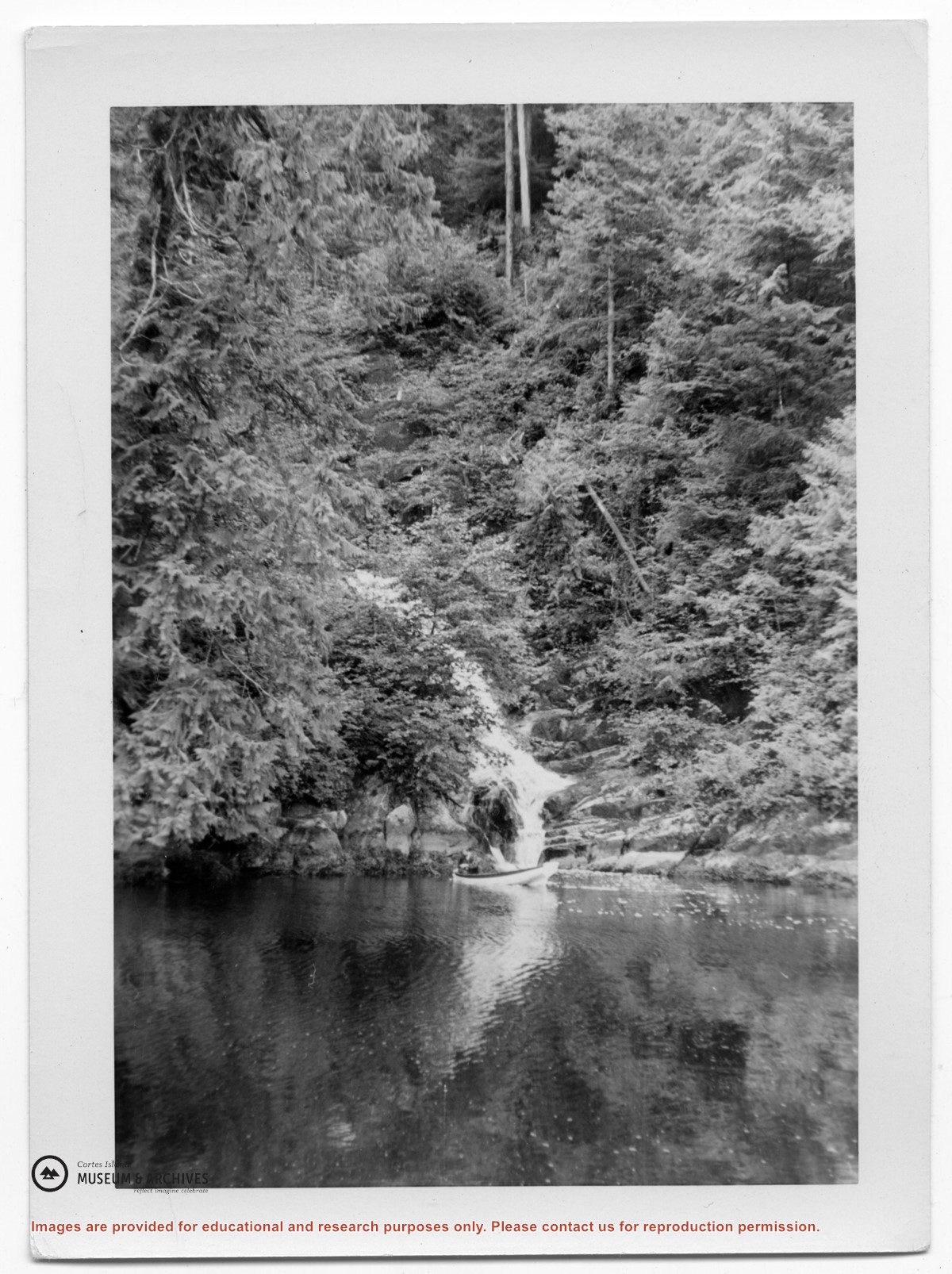
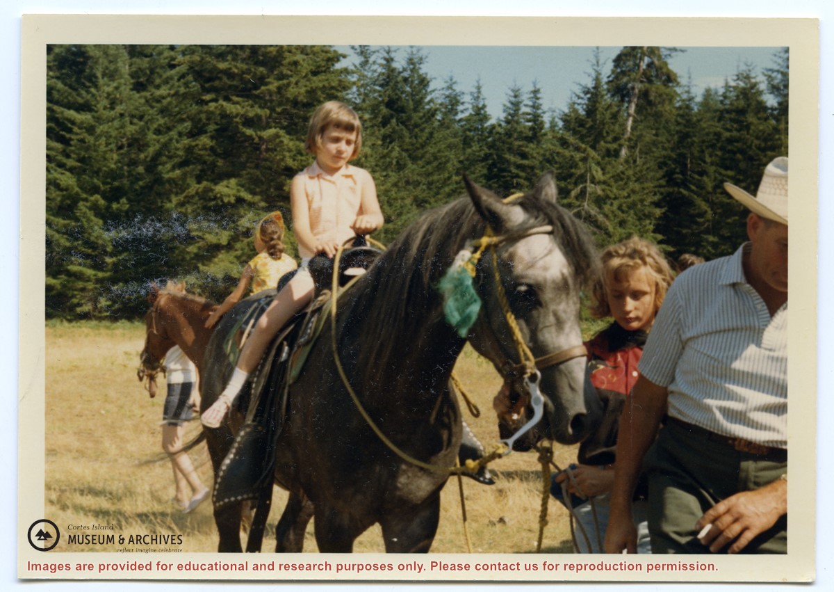
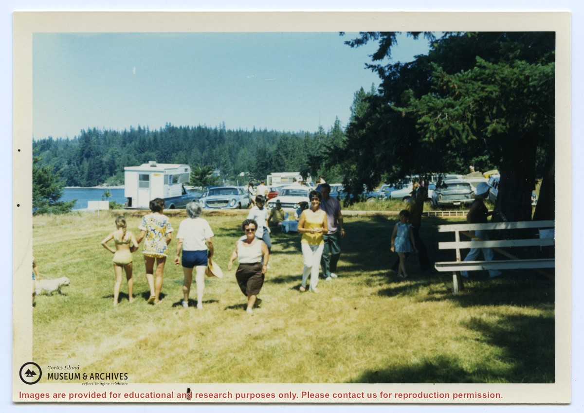
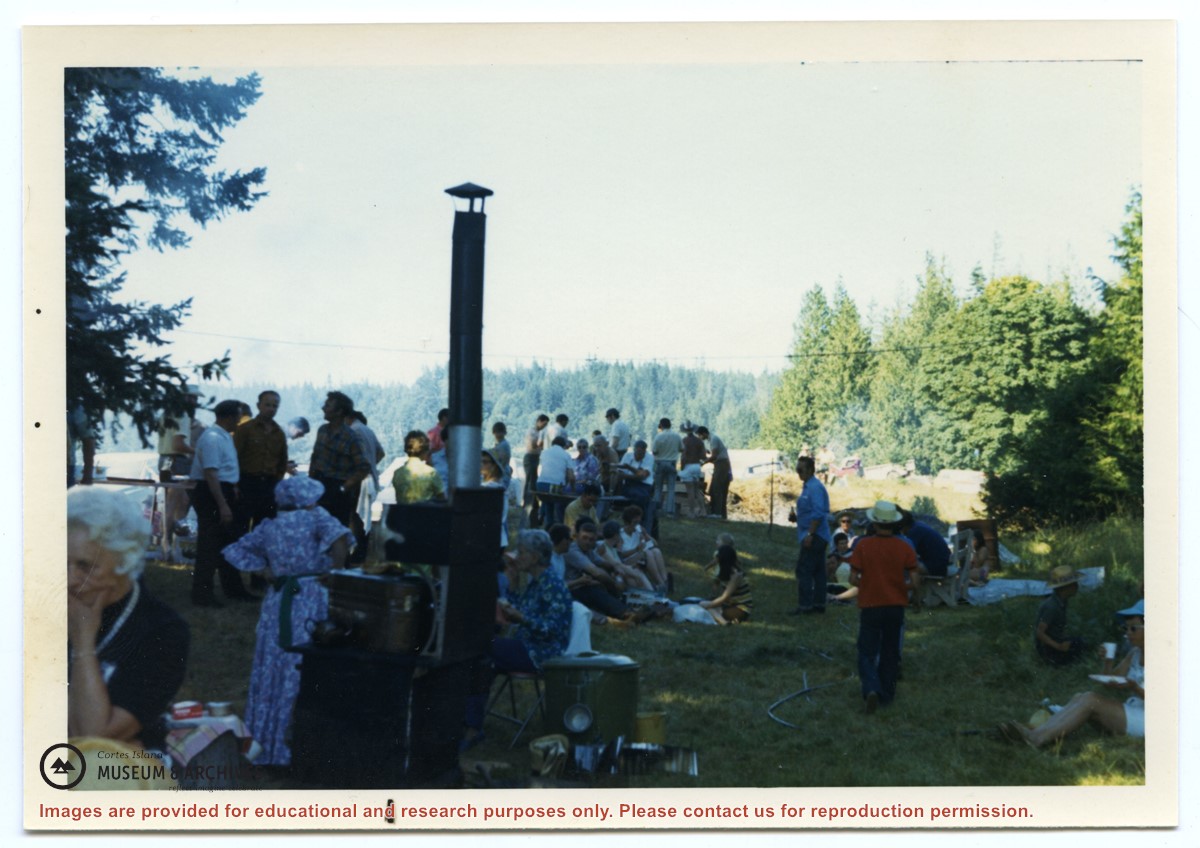
Info on social gatherings of early settlers such as picnics, shows and dances. Printed photos and descriptions of settler social life from 1930s-1950s. Old posters for Community Club meeting and a Masquerade Ball. Keywords: Boat Days, Cortes Day, Regatta at Corneille's.
Info on social gatherings of early settlers such as picnics, shows and dances. Printed photos and descriptions of settler social life from 1930s-1950s. Old posters for Community Club meeting and a Masquerade Ball. Keywords: Boat Days, Cortes Day, Regatta at Corneille's.
The base map is a zoning map produced by the Regional District of Comox-
Strathcona for the Cortes Island Land Use Project (Aug 1969). Edwards used
coloured pencil to show land and foreshore zones, and transferred information
about early preemptions and old roads and trails from an earlier map (see
Donald Palmer fonds, 2020.002.011, map of Cortes Island, Sayward District, ca.
1915).