File contains correspondence with Dan Campbell and a copy of the articles of incorporation of the Turtle Island Land Stewardship Society (Title holder for Linnaea Farm).
File contains correspondence with Dan Campbell and a copy of the articles of incorporation of the Turtle Island Land Stewardship Society (Title holder for Linnaea Farm).
File contains material relating to schools on Cortes Island: a history of the Whaletown school and clippings, including an article about the Whaletown school by Gilean Douglas; a report of the Board of School Trustees, a program from a 1963 Manson's Landing school Christmas concert, and a PAC newsletter.
File contains material relating to schools on Cortes Island: a history of the Whaletown school and clippings, including an article about the Whaletown school by Gilean Douglas; a report of the Board of School Trustees, a program from a 1963 Manson's Landing school Christmas concert, and a PAC newsletter.
File contains various local publications: Blue Jay Lake Gardening Partners newsletter, BC Ferries newsletter, Whaletown National Enquirer and SCCA newsletter.
File contains various local publications: Blue Jay Lake Gardening Partners newsletter, BC Ferries newsletter, Whaletown National Enquirer and SCCA newsletter.
File contains correspondence and associated materials about logging on Cortes, including a letter from Ken Hansen to Friends of Cortes Island, and a membership form with a description of FOCI aims.
File contains correspondence and associated materials about logging on Cortes, including a letter from Ken Hansen to Friends of Cortes Island, and a membership form with a description of FOCI aims.
The base map is a zoning map produced by the Regional District of Comox-
Strathcona for the Cortes Island Land Use Project (Aug 1969). Edwards used
coloured pencil to show land and foreshore zones, and transferred information
about early preemptions and old roads and trails from an earlier map (see
Donald Palmer fonds, 2020.002.011, map of Cortes Island, Sayward District, ca.
1915).
People are identified on verso: Doreen Huck (misidentified as Doreen Reedel on verso), Joyce Martin, Elaine McKenzie, Sheila Musclow, Helen Morrison, Bob Parry, Marjorie Rexford, Jim Guthrie, Sharon Forrest, Jim Hansen, Lillian Redford, Larry McKim (Borland), Beth Martin, Carolyn Reedel
People are identified on verso: Doreen Huck (misidentified as Doreen Reedel on verso), Joyce Martin, Elaine McKenzie, Sheila Musclow, Helen Morrison, Bob Parry, Marjorie Rexford, Jim Guthrie, Sharon Forrest, Jim Hansen, Lillian Redford, Larry McKim (Borland), Beth Martin, Carolyn Reedel
Marjorie (Hayes) Griffin holding George Jr., Mr. Daniels, Jack Hayes, Alice Hayes, Mr. Alfred Hayes, Patsy McLennan, Mrs. Hayes, Florence Hayes, Mrs. Daniels, Dorothy Hayes, May Freeman with family pet dog, Nora Hayes
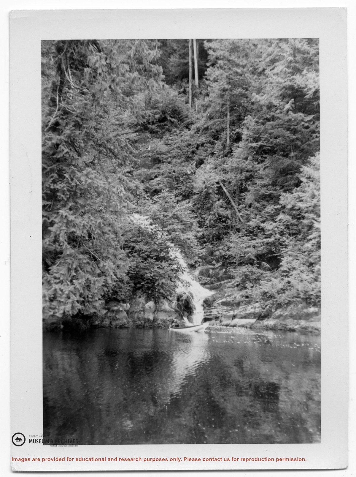
1 photograph print: b&w; 17.5 x 11 cm
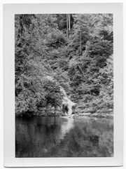
1 photograph print: b&w; 11.5 x 6.5 cm
Scope and Content
Marjorie (Hayes) Griffin holding George Jr., Mr. Daniels, Jack Hayes, Alice Hayes, Mr. Alfred Hayes, Patsy McLennan, Mrs. Hayes, Florence Hayes, Mrs. Daniels, Dorothy Hayes, May Freeman with family pet dog, Nora Hayes
.jpg?width=1200&404=no-img.jpg&watermark=wmk)
.jpg?width=1200&404=no-img.jpg&watermark=wmk)
.jpg?width=180&404=no-img.jpg)
.jpg?width=1200&404=no-img.jpg&watermark=wmk)
.jpg?width=1200&404=no-img.jpg&watermark=wmk)
.jpg?width=180&404=no-img.jpg)

