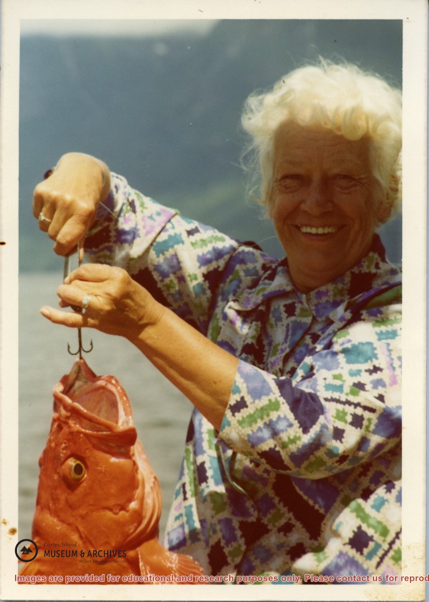
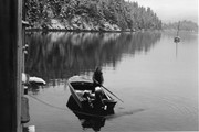
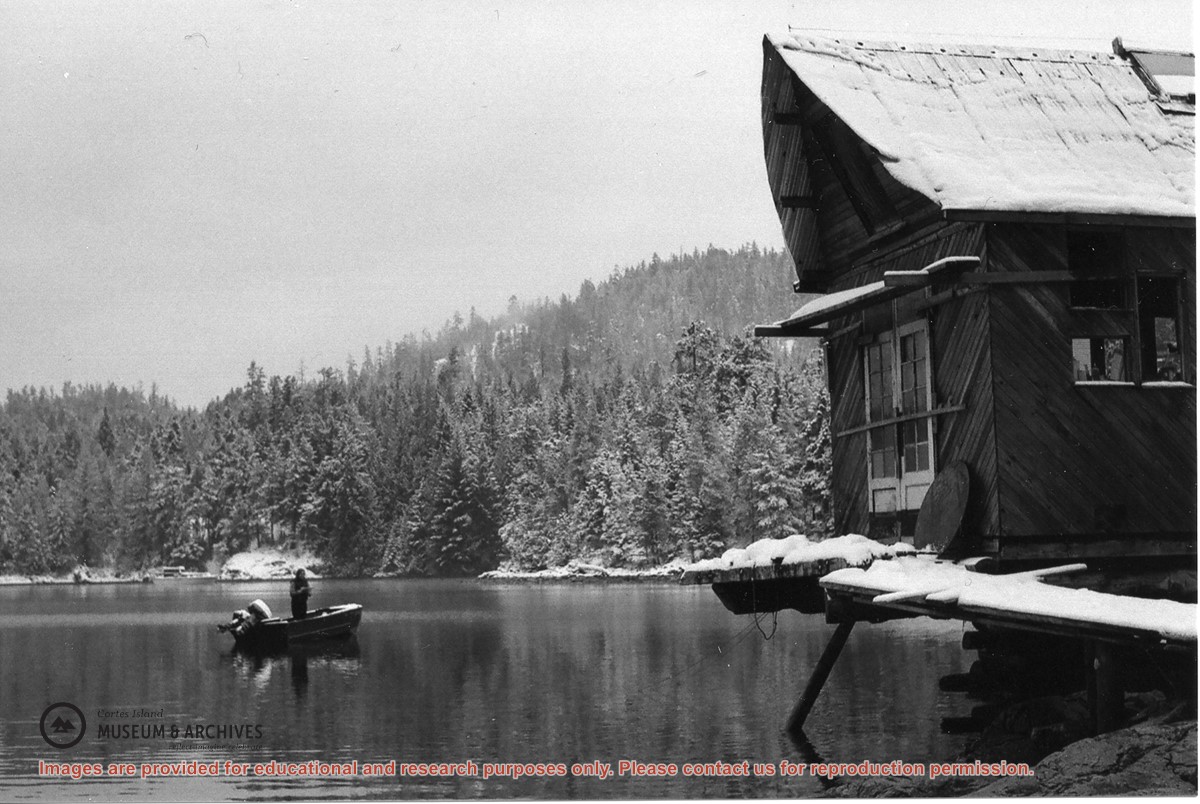
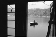
Doris Hope provided a fish and chips dinner for the Refuge Cove community every Friday, cooking on two large propane burners set up on the back porch of her house,
Doris Hope provided a fish and chips dinner for the Refuge Cove community every Friday, cooking on two large propane burners set up on the back porch of her house,
File contains five maps of Hernando Island: two showing plans of pre-emptions, 1891-1892; two copies of an old hand-drawn map, 1955; and one map of a later proposed development (undated). Some maps have notes on homesteads.
File contains five maps of Hernando Island: two showing plans of pre-emptions, 1891-1892; two copies of an old hand-drawn map, 1955; and one map of a later proposed development (undated). Some maps have notes on homesteads.
The base map is a zoning map produced by the Regional District of Comox-
Strathcona for the Cortes Island Land Use Project (Aug 1969). Edwards used
coloured pencil to show land and foreshore zones, and transferred information
about early preemptions and old roads and trails from an earlier map (see
Donald Palmer fonds, 2020.002.011, map of Cortes Island, Sayward District, ca.
1915).
File contains zoning maps for Bylaw 41, Electoral Area I, Schedules A1-A7 with revisions to 1999. There is a map of the whole island and larger scale maps of island areas.
File contains Plan Map Schedule A-1, Development Proposal Referral forms about changing the zoning bylaw designations to reflect the Official Community Plan of 1995, the agenda for an APC meeting and photocopies of FOCI/CIFC maps of Cortes Island land tenure.
File contains Plan Map Schedule A-1, Development Proposal Referral forms about changing the zoning bylaw designations to reflect the Official Community Plan of 1995, the agenda for an APC meeting and photocopies of FOCI/CIFC maps of Cortes Island land tenure.
File contains correspondence re Aquaculture bylaw #2300, a draft Cortes Island zoning bylaw (2001), and a map, the Official Community Plan Map Schedule A, 1993 and Bylaw 1896 to amend the OCP if 1995.
File contains correspondence re Aquaculture bylaw #2300, a draft Cortes Island zoning bylaw (2001), and a map, the Official Community Plan Map Schedule A, 1993 and Bylaw 1896 to amend the OCP if 1995.