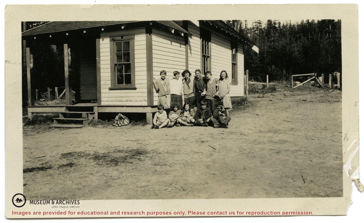
Photographs depict the pupils at the second Whaletown school standing beside the school. The photograph was taken by Evelyn Dow, who taught there from February 1928 to June 1929. This school was built in 1918 near the corner of Coulter Bay Road and Carrington Bay Road, and was used (with improvements) until 1950. The front, side and surroundings of the school are clearly shown.
Front row third from left is Marion Borden; Vernon Borden next to her fourth from left.
Top row, far right: Lorna Borden
(IDs by Terrill Marlow, Marion’s daughter, and Rob Borden, Vernon’s son).
Photographs are from an album created by Evelyn Dow and were donated to CIMAS by her niece, Sharon Thomas.
Scope and Content
Photographs depict the pupils at the second Whaletown school standing beside the school. The photograph was taken by Evelyn Dow, who taught there from February 1928 to June 1929. This school was built in 1918 near the corner of Coulter Bay Road and Carrington Bay Road, and was used (with improvements) until 1950. The front, side and surroundings of the school are clearly shown.
Front row third from left is Marion Borden; Vernon Borden next to her fourth from left.
Top row, far right: Lorna Borden
(IDs by Terrill Marlow, Marion’s daughter, and Rob Borden, Vernon’s son).
File contains minutes, agendas and other material relating to meetings of the Klahoose Table, attended by members of CILAC, Klahoose First Nations and government negotiators. It includes material relating to a proposed park at Carrington Bay.
File contains minutes, agendas and other material relating to meetings of the Klahoose Table, attended by members of CILAC, Klahoose First Nations and government negotiators. It includes material relating to a proposed park at Carrington Bay.
File contains information for the following properties:
E. H. Vaughn: 1893, Crown Grant for fractional N 1/2 of Sec. 22; 90 acres for $90.00.
James P. Allen: 1913, Crown Grant for NW 34 acres of Sec. 23; $170.00
Bernard Robinson Allen: 1919, Crown Grant for SW 1/4 of Sec. 23, 159 acres
Charles Allen: 1912, Crown Grant for SW 1/4 of Sec. 33; 160 acres for $160.00
Harold Marshall Wood: Crown Grant for E 1/2 of NE 1/4 of Sec. 46 (east of Carrington Bay); 81 acres for $1.00.
File contains the following maps, stored in the Map Cabinet:
Subdivision Plan of parcel C & E, NW 1/4 of Sec. 21, 1976
Subdivision of the fractional NE 1/4 of Sec 21, 1966; with names of property owners penciled in
Subdivision Plan of Parcel C and part of Parcel E of fractional NE 1/4 of Sec. 21, 1975
Subdivision Plan of fractional NE 1/4 of Sec. 21 and W 1/2 of SW 1/4 of Sec. 34
(Files 17 through 19 are from the same envelope.)
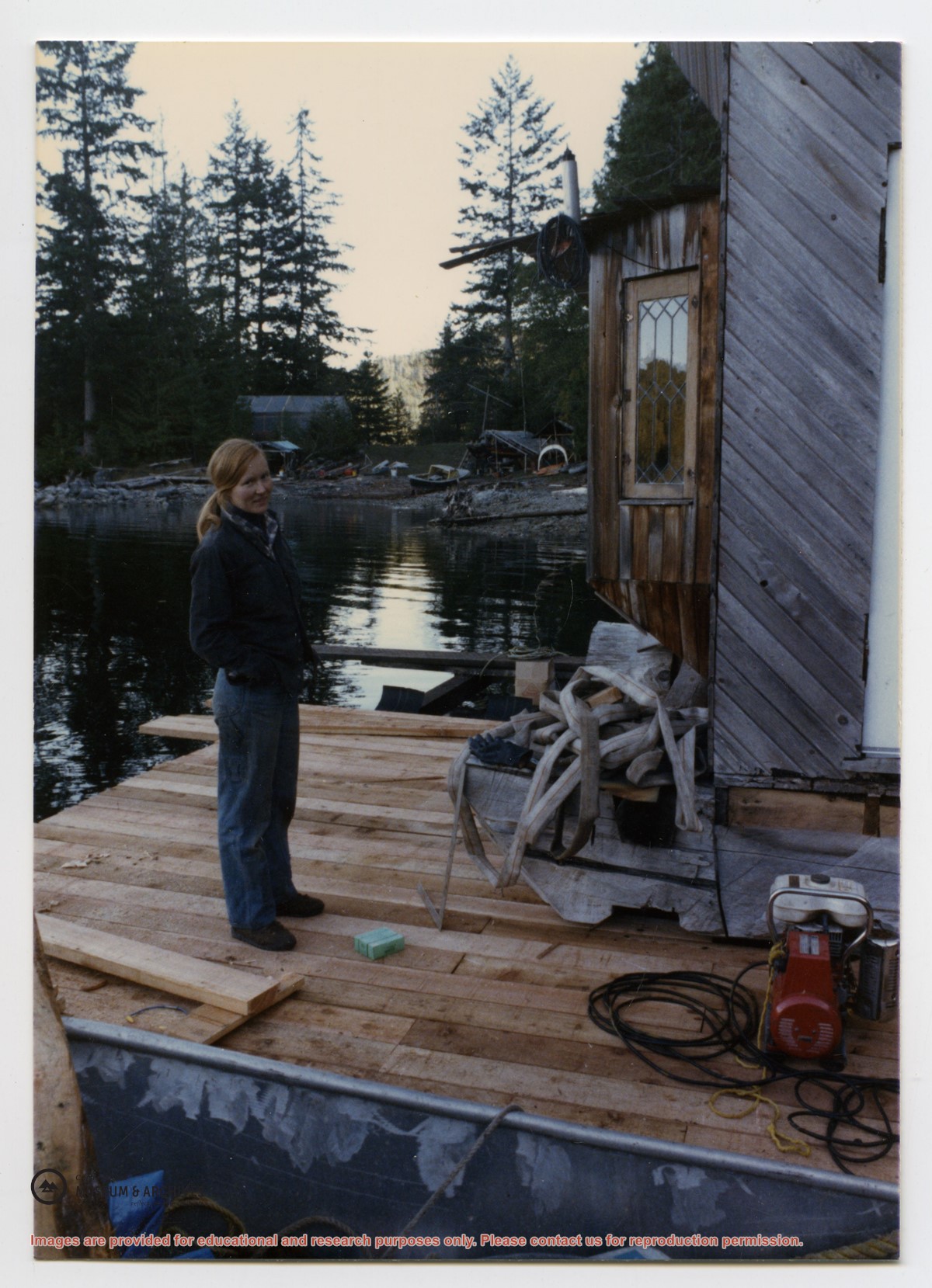
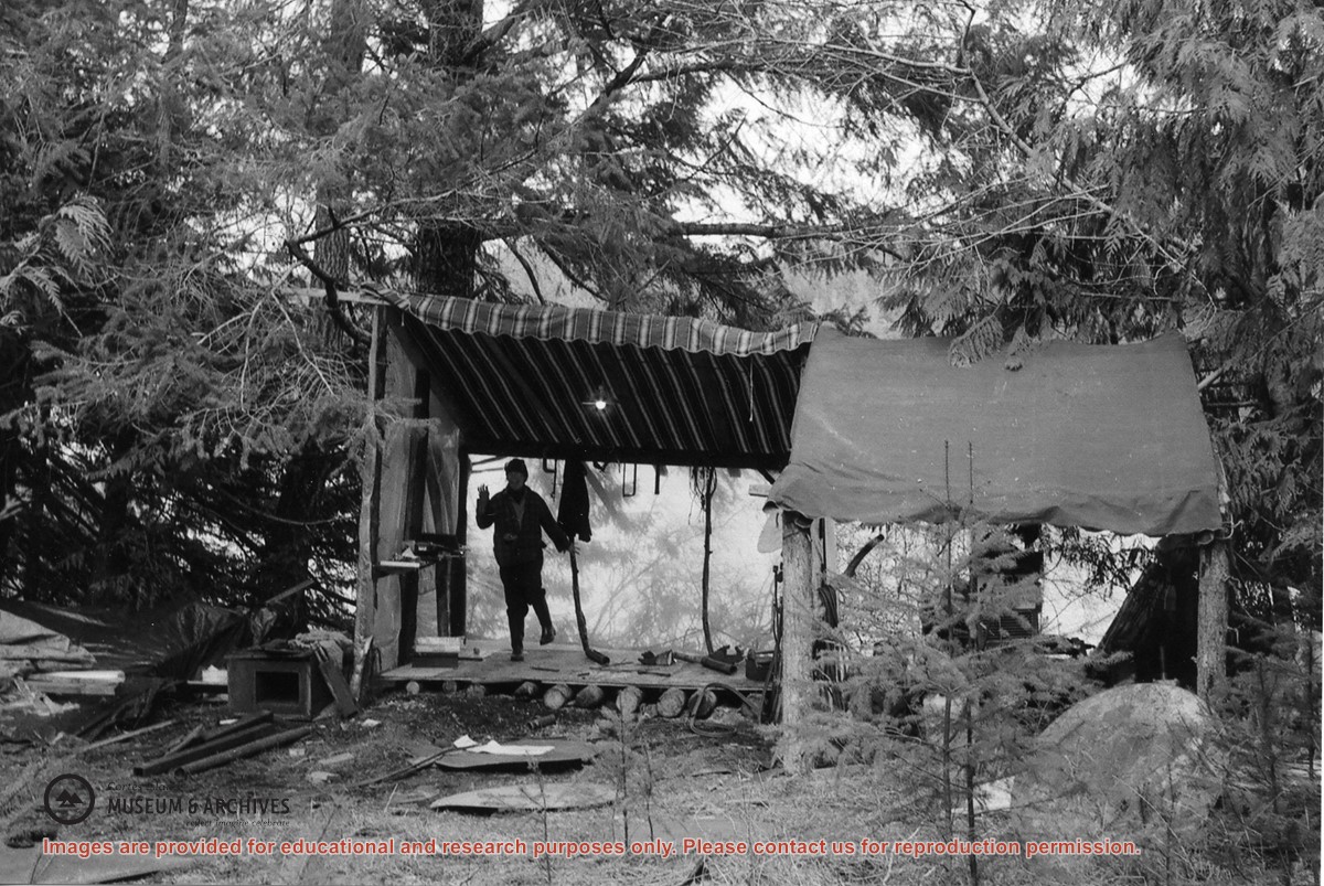
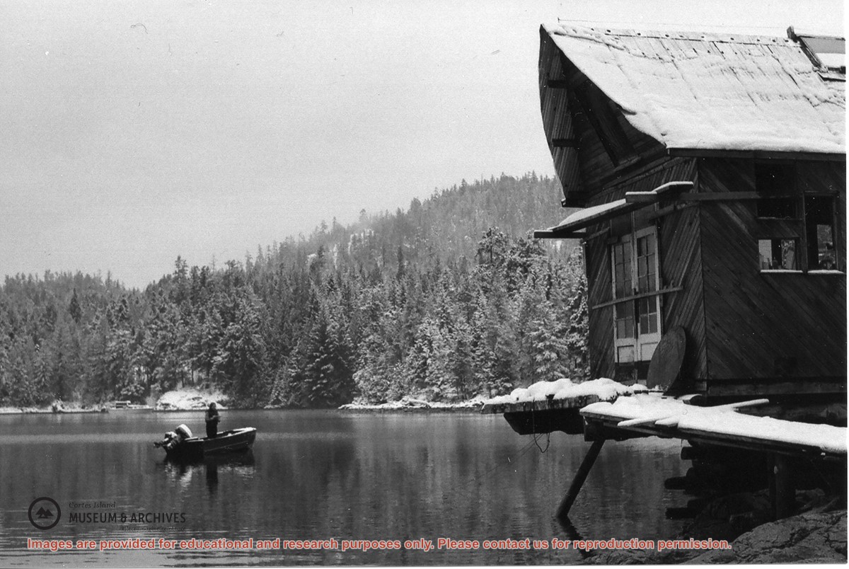
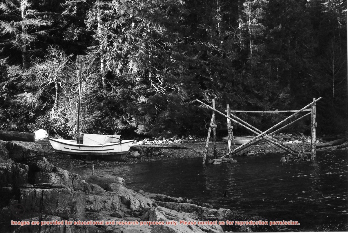
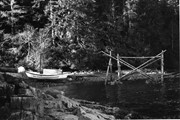
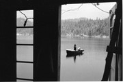
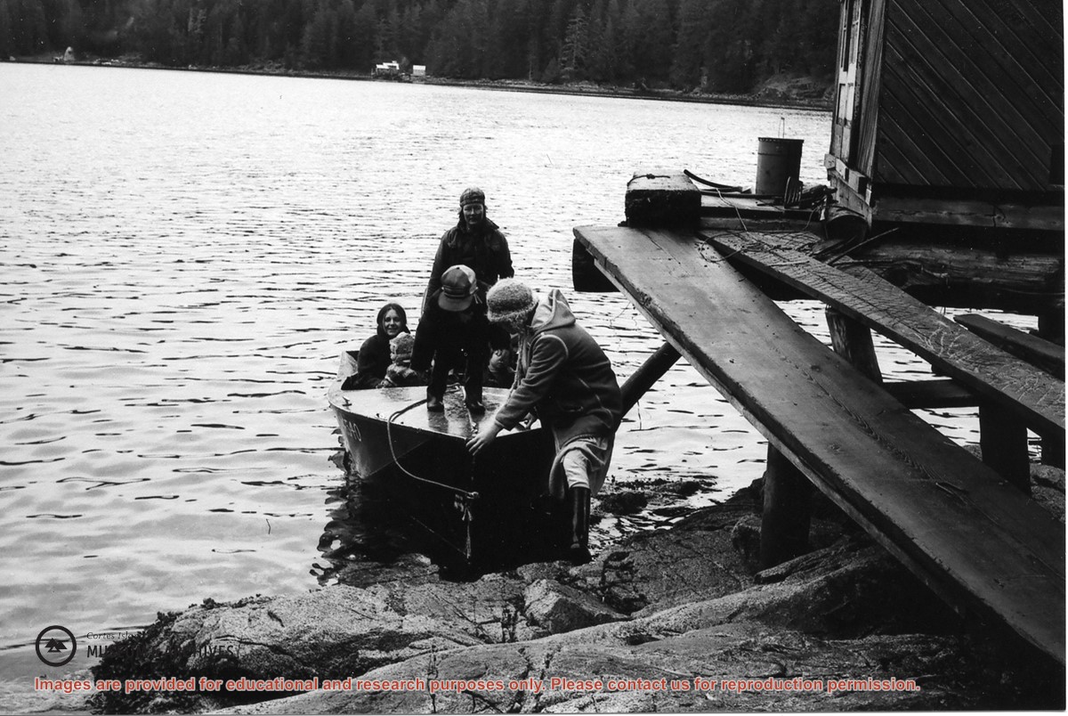
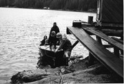
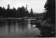
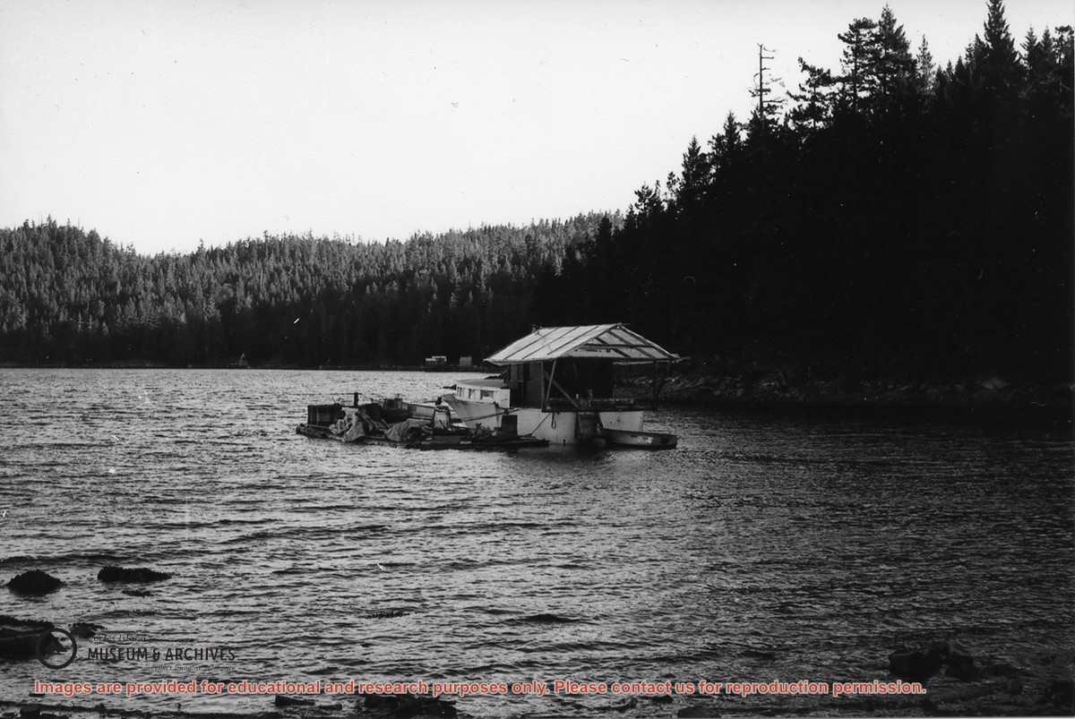
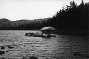
Passengers getting off a boat at Jim Palmer and Jan Gemmel's float house: Gail Johnson and son Ryan at the bow, Pat Brown with her daughter Fawn, Jan Gemmel at the helm.
Gail lived with Alan Bent in a house on pilings, seen in the background. To the left is Jason & Kathy’s plastic A-frame boat shop; they lived in an old fisherman’s cabin next to it.
Gail lived with Alan Bent in a house on pilings, seen in the background. To the left is Jason & Kathy’s plastic A-frame boat shop; they lived in an old fisherman’s cabin next to it.
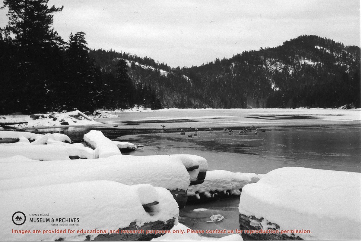
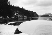
Series consists of records relating to logging on Cortes Island. It includes correspondence, account sheets, Forest Service scale sheets, timber sale maps of Von Donop Creek and Carrington Bay, and copies of Forestry regulations.
Series consists of records relating to logging on Cortes Island. It includes correspondence, account sheets, Forest Service scale sheets, timber sale maps of Von Donop Creek and Carrington Bay, and copies of Forestry regulations.
File contains a page of notes, and photocopies of a tax sale notice (1938) and list of properties forfeited for non-payment of taxes, Crown Grants and other title information for the following:
William Walter James: 1926, Crown Grant for NW 1/4 of Sec. 38; 156 acres for $1.00; forfeited to Crown in 1939
Tom Albinson: 1919, Crown Grant for Lot 867; forfeited in 1927
Sadie McMurray: 1917, NE 1/4 of Sec. 39; 160 acres for $160
Peter Police: 1925, fractional NW 1/4 of Sec. 39; 103 acres for $1.00
(Files 12 through 16 are from the same envelope.)
John Manson (1868-1959) was born in the Shetland Islands and migrated to British Columbia in 1887, where he joined his brother Michael Manson on Cortes Island. He married Margaret Ellen Smith in 1894 and they had four children: Jack (born 1896), Anna (1898), Rose (1900) and Nicol (1906). The family lived at Sunny Brae Farm, on the south-east side of Cortes, across from Twin Islands.
Custodial History
Most of the files in this series were in an old wooden box when transferred to the archives, suggesting that they were collected from John Manson's house as a unit.
Scope and Content
Series consists of records created by John Manson of Sunny Brae farm, including legal documents, financial records, correspondence and ephemera.
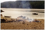
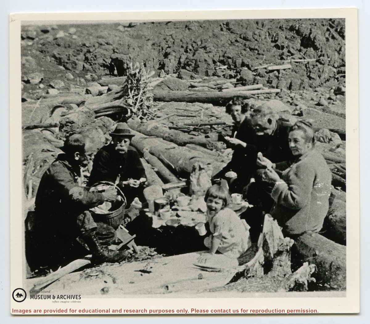
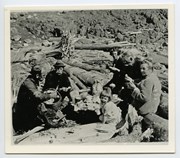
Photograph of Mike Manson and his wife Jane, John Manson, Wilf Manson and daughter Dorothy, seated on logs on the beach. The photograph was taken on Mittlenatch Island when sheep were kept there.
Photograph of Mike Manson and his wife Jane, John Manson, Wilf Manson and daughter Dorothy, seated on logs on the beach. The photograph was taken on Mittlenatch Island when sheep were kept there.