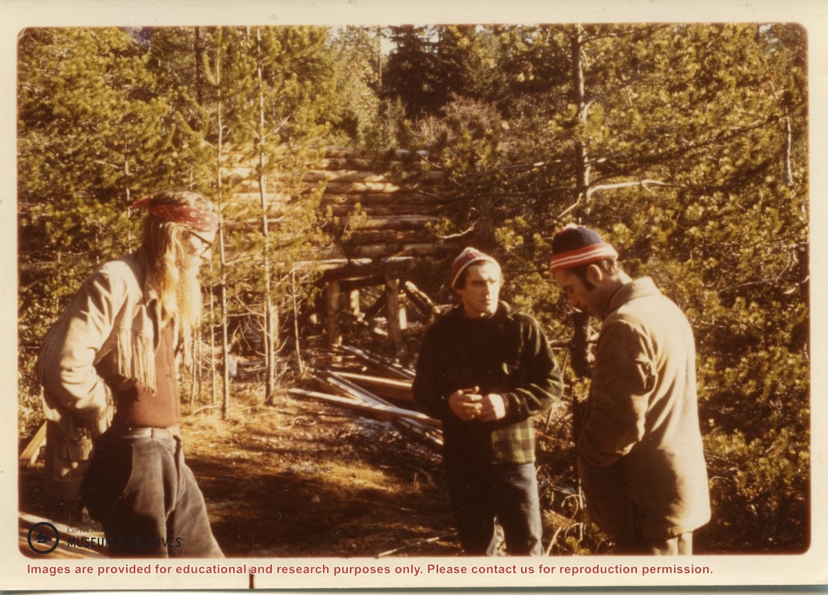
The man on the left is a guest, Peter Kuyt, who kayaked up from Lasqueti Island. He built a cabin by the lagoon at Refuge Cove, but drowned while kayaking back to Lasqueti. Barry Ketchison was a co-op member.
The man on the left is a guest, Peter Kuyt, who kayaked up from Lasqueti Island. He built a cabin by the lagoon at Refuge Cove, but drowned while kayaking back to Lasqueti. Barry Ketchison was a co-op member.
Series contains information on historic Crown Grants and subsequent title changes compiled by Doreen Thompson during her research for the CIMAS Windows on Whaletown exhibit in 1999. The area covered includes the northern part of Cortes Island, from just south of Gorge Harbour. Material includes maps, photocopies of original Crown Grants and other title documents, lists of subdivisions, and notes on changes of title.
Records were organized by Section or Plan number in large envelopes with a cover map and notes about the properties researched on the envelope back. They trace the ownership of parcels of land from the first grant or purchase from the Crown to 1999. Original order has been maintained.
Coloured map of southwestern BC showing municipalities, geographical features, land and sea routes, natural resources, etc. The back of the map is fully printed with information about BC and suggested travel itineraries.
Map needs preservation: edges are frayed and there are several tears.
Coloured map of southwestern BC showing municipalities, geographical features, land and sea routes, natural resources, etc. The back of the map is fully printed with information about BC and suggested travel itineraries.
Map needs preservation: edges are frayed and there are several tears.