File contains a photocopied part of a map showing the locations of researched property in the Whaletown Lagoon and Whaletown Harbour area. The map is glued to an envelope which has a list of Crown grants and other conveyances on the back.
It contains photocopies of original land grants and other conveyances for the following:
Moses Ireland: 1893, Crown Grant for the W 1/2 of SW 1/4 of Sec 35 and W 1/2 of the SW 1/4 of Section 34
Joseph Youart: 1900, Crown Grant for Fractional NE 1/4 of Sec 35 (sold to Alice Robertson in 1908; "Burnside" is still in the Robertson family).
Nicholas Thompson: 1920, Crown Grant for the Fractional SW 1/4 of Sec 35
Charles Strange: 1914, Crown Grant for the NW 1/4 of Sec 35
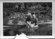
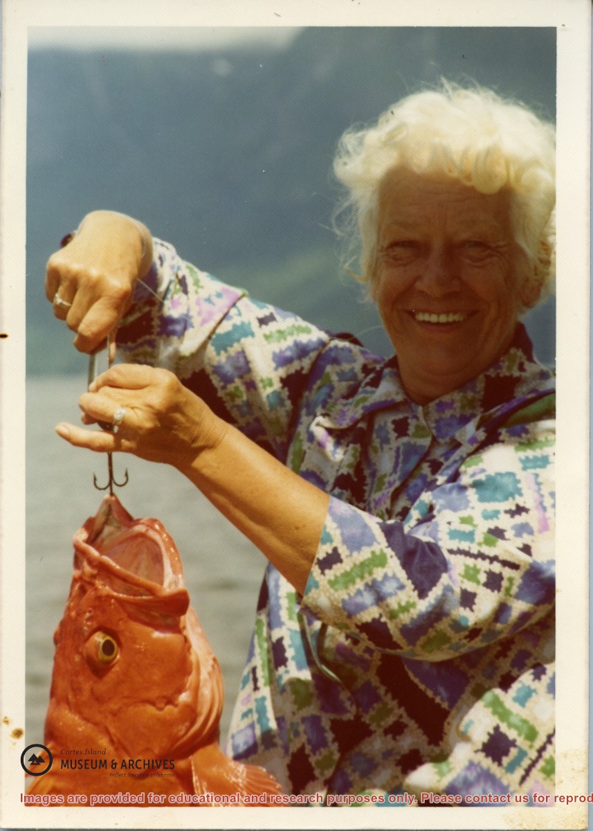
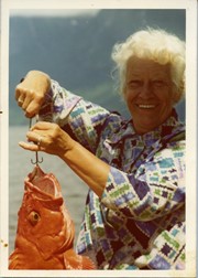
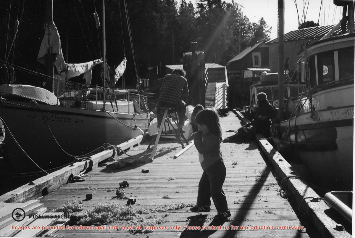
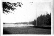
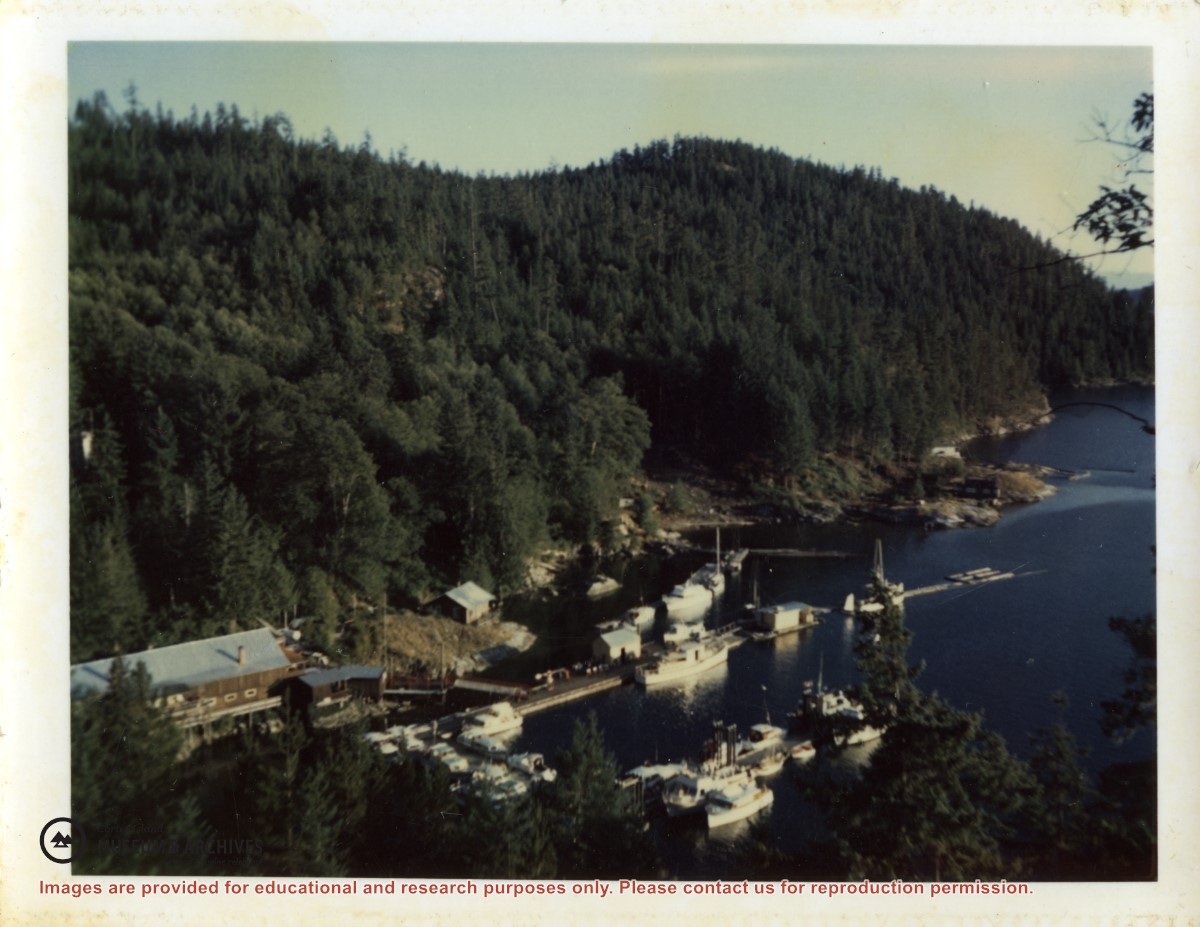
Doris Hope provided a fish and chips dinner for the Refuge Cove community every Friday, cooking on two large propane burners set up on the back porch of her house,
Doris Hope provided a fish and chips dinner for the Refuge Cove community every Friday, cooking on two large propane burners set up on the back porch of her house,
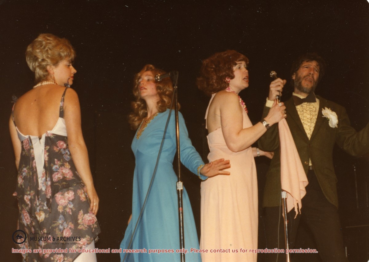
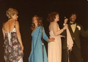
(L to R): Isolde Ruthenberg, Sheril Matthews, Gloria Jorg and Paul Kirmmse performing "Hit the Road Jack" at a Gorge Hall Variety Night. The name of the group was based on the doo-wop band Ray Charles and the Raylettes.
(L to R): Isolde Ruthenberg, Sheril Matthews, Gloria Jorg and Paul Kirmmse performing "Hit the Road Jack" at a Gorge Hall Variety Night. The name of the group was based on the doo-wop band Ray Charles and the Raylettes.
Series contains information on historic Crown Grants and subsequent title changes compiled by Doreen Thompson during her research for the CIMAS Windows on Whaletown exhibit in 1999. The area covered includes the northern part of Cortes Island, from just south of Gorge Harbour. Material includes maps, photocopies of original Crown Grants and other title documents, lists of subdivisions, and notes on changes of title.
Records were organized by Section or Plan number in large envelopes with a cover map and notes about the properties researched on the envelope back. They trace the ownership of parcels of land from the first grant or purchase from the Crown to 1999. Original order has been maintained.
File contains a copy of the bylaw and map of 1995, a summary of the changes (meant to reconcile 25 year gap between the previous zoning bylaws and the current OCP), and a completion and adoption strategy.
File contains a copy of the bylaw and map of 1995, a summary of the changes (meant to reconcile 25 year gap between the previous zoning bylaws and the current OCP), and a completion and adoption strategy.
Coloured map of southwestern BC showing municipalities, geographical features, land and sea routes, natural resources, etc. The back of the map is fully printed with information about BC and suggested travel itineraries.
Map needs preservation: edges are frayed and there are several tears.
Coloured map of southwestern BC showing municipalities, geographical features, land and sea routes, natural resources, etc. The back of the map is fully printed with information about BC and suggested travel itineraries.
Map needs preservation: edges are frayed and there are several tears.