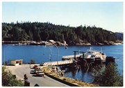
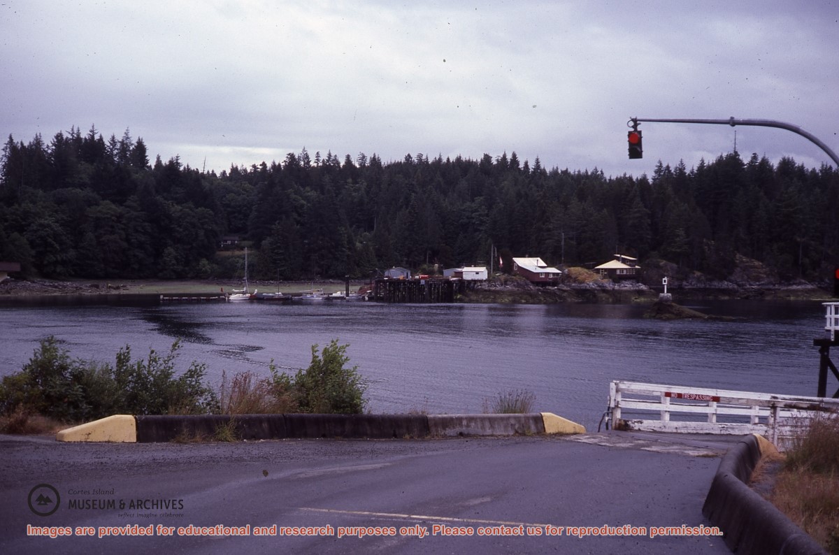
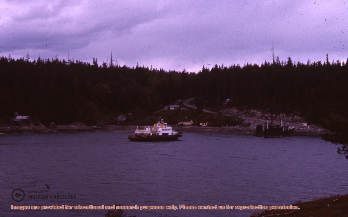
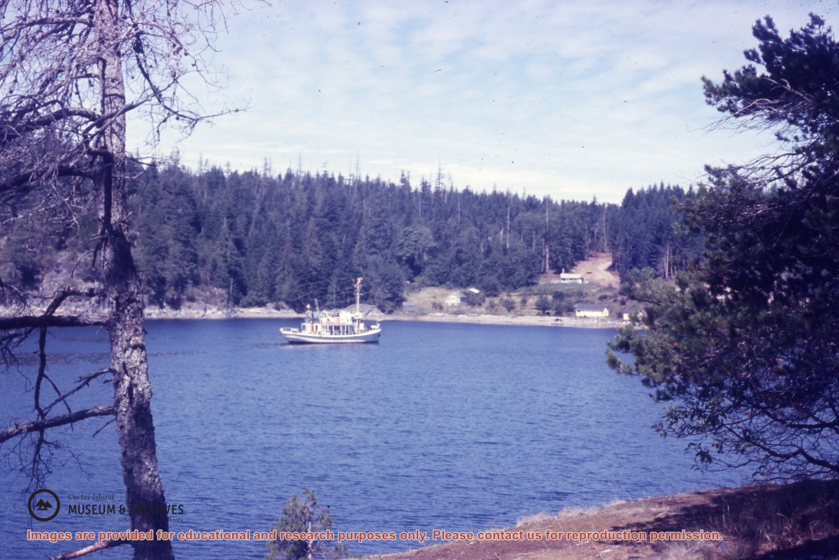
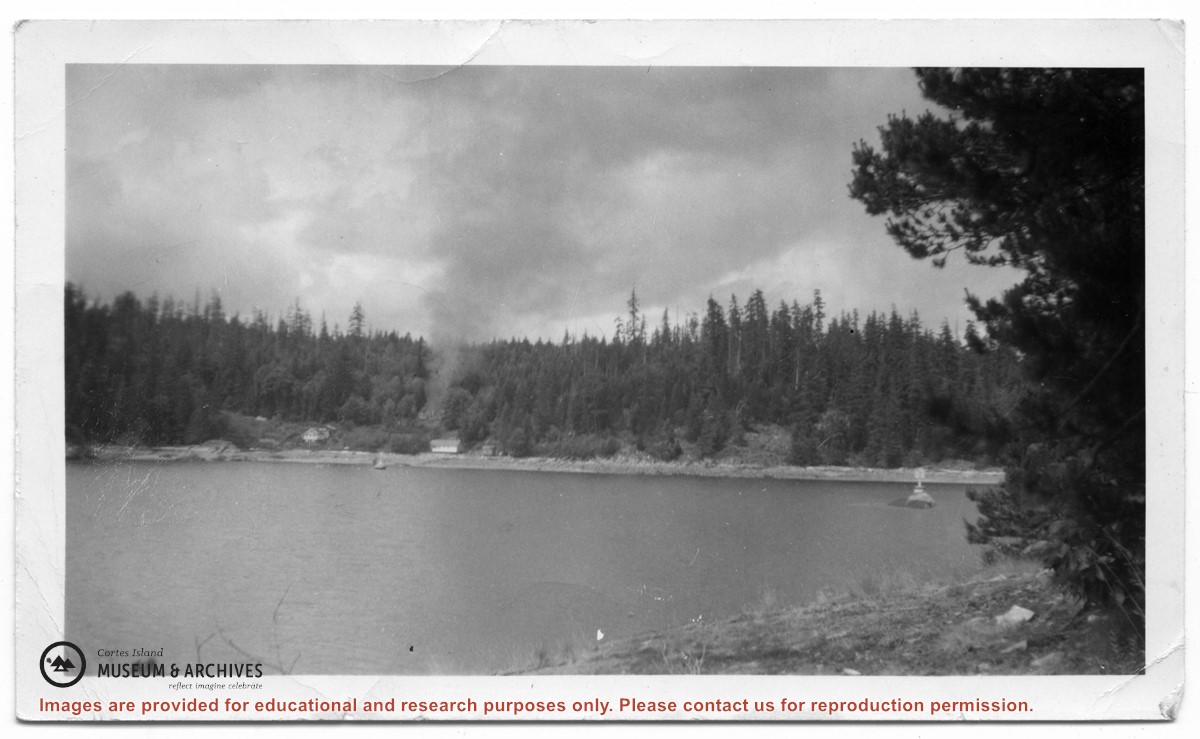
Photograph of Billy Tait standing on the dock in Whaletown. The channel marker and houses near the present-day ferry dock can be seen in the background.
Photograph of Billy Tait standing on the dock in Whaletown. The channel marker and houses near the present-day ferry dock can be seen in the background.
Series consists of a hand drawn map of Cortes Island showing places of interest to visitors, maps showing the location of hydro distribution lines on Cortes Island, maps related to zoning and rezoning on Cortes Island, the Official Settlement Plan, and a drawing showing an engineering plan for the Whaletown ferry terminal.
Series consists of a hand drawn map of Cortes Island showing places of interest to visitors, maps showing the location of hydro distribution lines on Cortes Island, maps related to zoning and rezoning on Cortes Island, the Official Settlement Plan, and a drawing showing an engineering plan for the Whaletown ferry terminal.
Series contains records related to work on the Manson's Landing Community Hall in the 1960s, a major expansion and renovation project completed in 1982, and an expansion to add a medical clinic in 1988. It includes plans, grant applications, payroll records, financial reports, receipts, and correspondence.
25 files of textual material
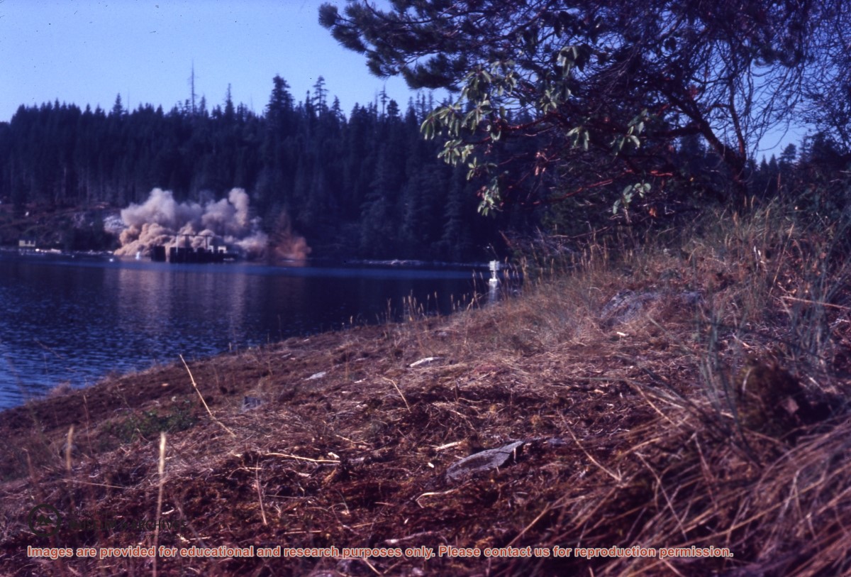
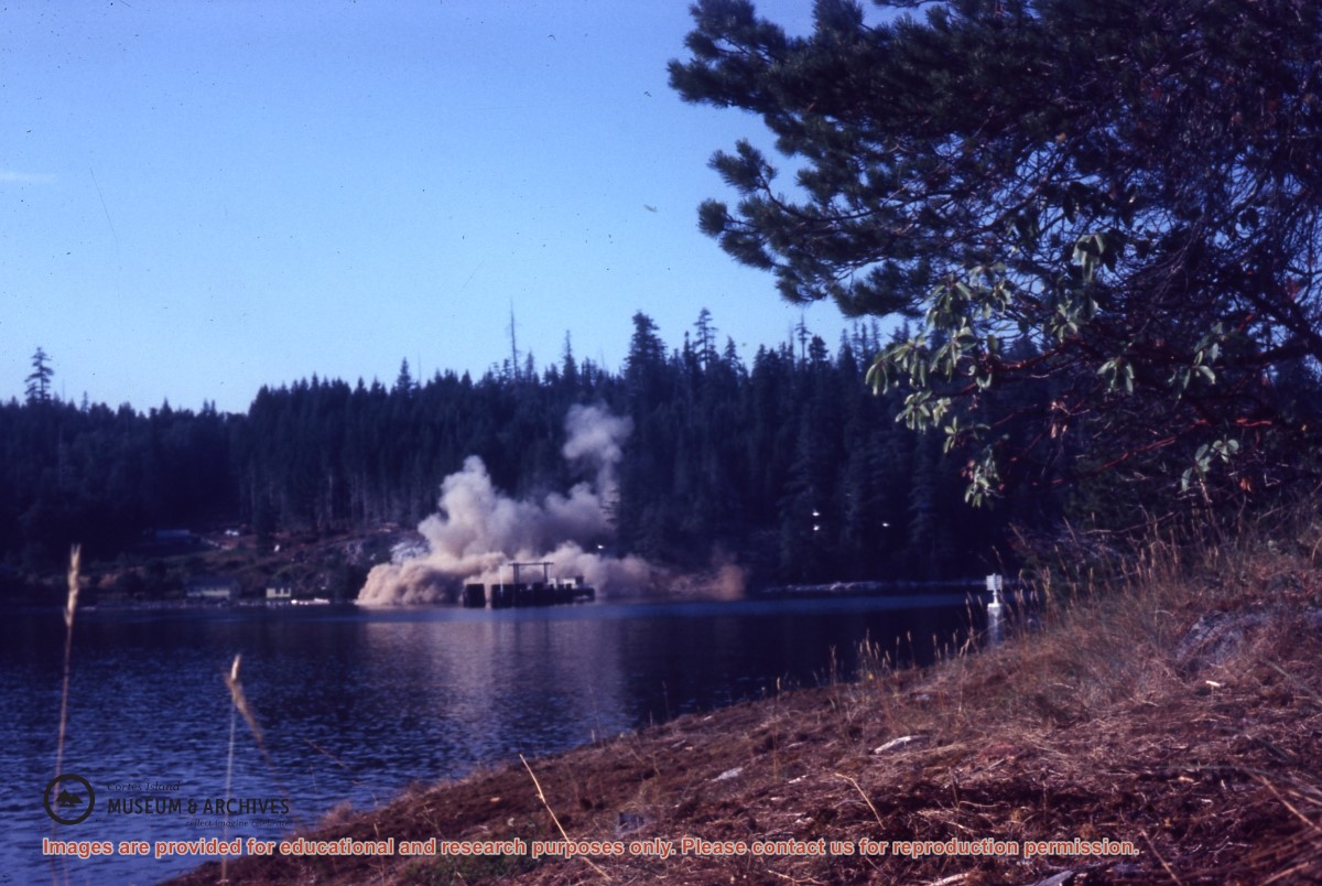
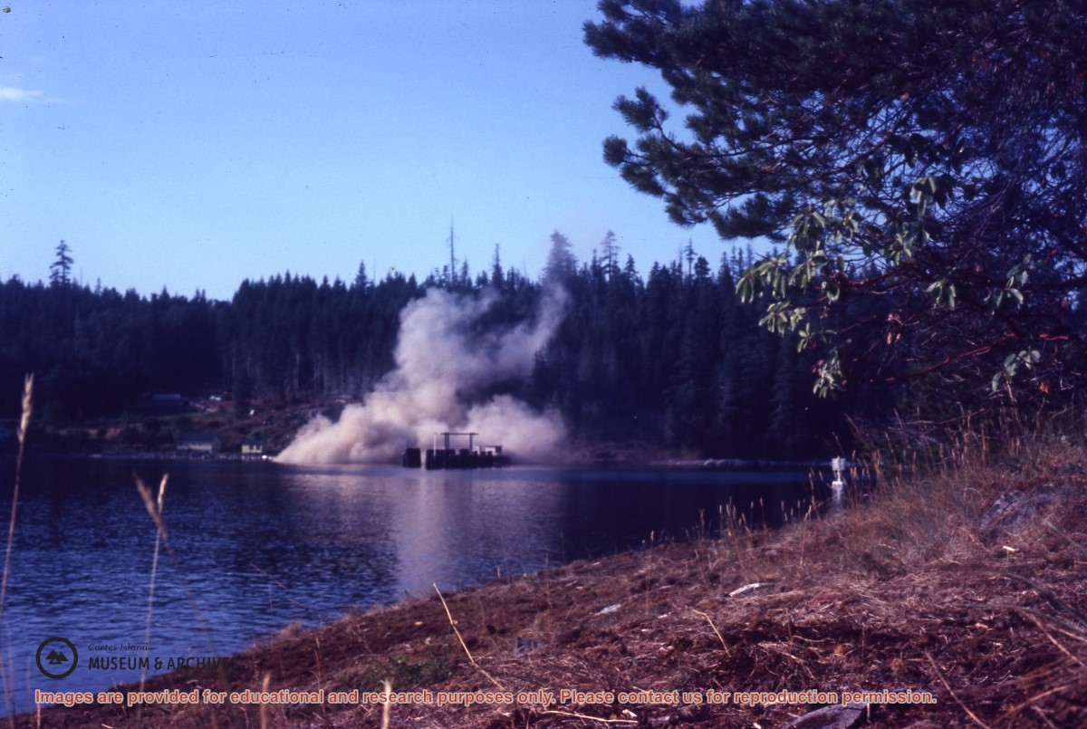
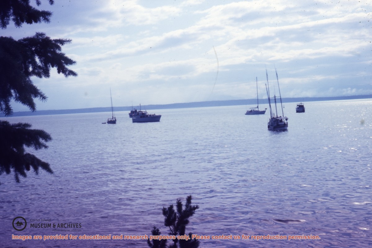
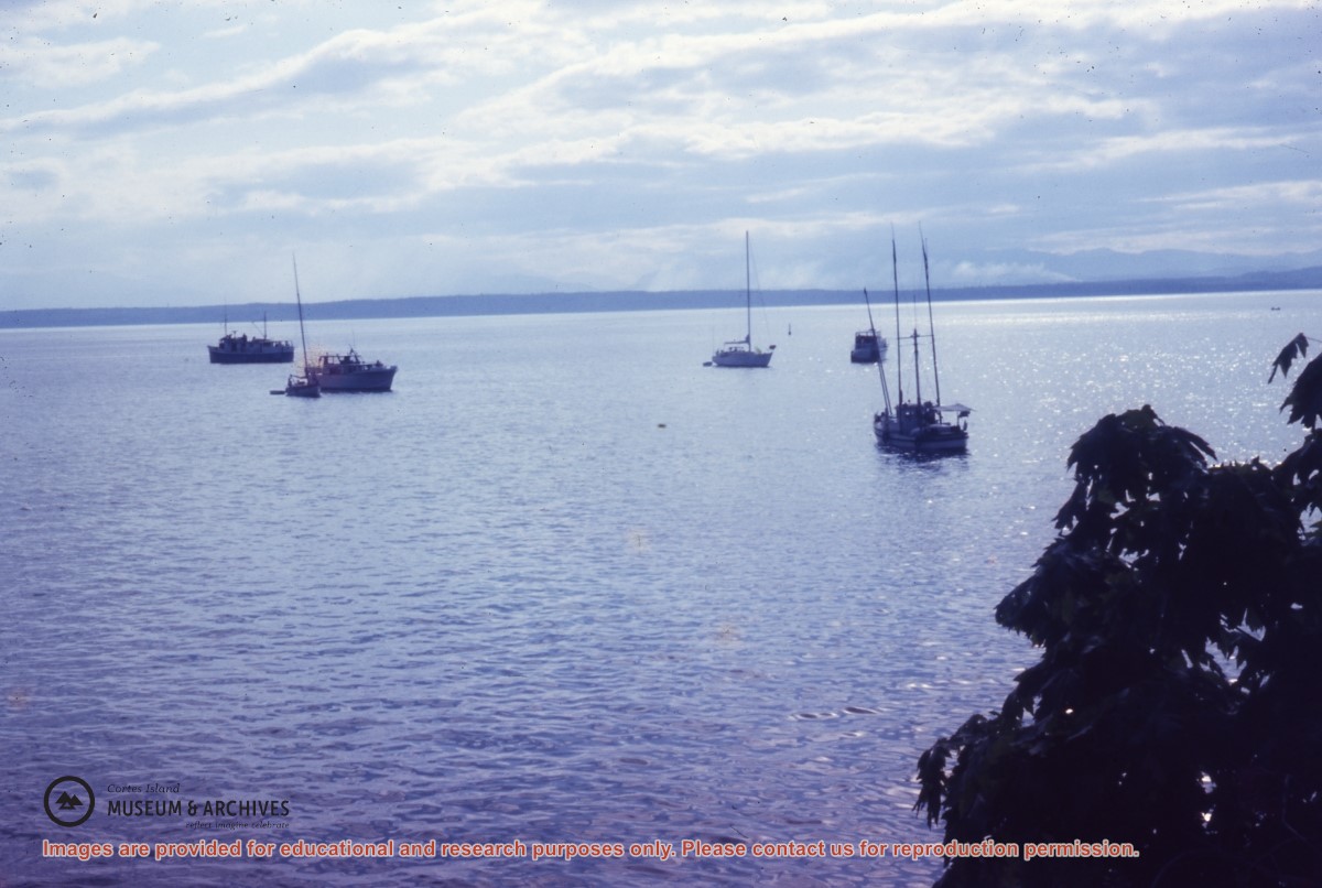
4 photographs : col. ;
2 architectural drawings
Scope and Content
Series contains records related to work on the Manson's Landing Community Hall in the 1960s, a major expansion and renovation project completed in 1982, and an expansion to add a medical clinic in 1988. It includes plans, grant applications, payroll records, financial reports, receipts, and correspondence.