File contains a photocopied section map of the northern part of Cortes Island (from just south of Gorge Harbour), coloured to indicate areas for which a Crown Grant was located and areas of ungranted Crown land which still appear to be owned by the government. Scale is 1 mile to 1 inch.
File contains a photocopied section map of the northern part of Cortes Island (from just south of Gorge Harbour), coloured to indicate areas for which a Crown Grant was located and areas of ungranted Crown land which still appear to be owned by the government. Scale is 1 mile to 1 inch.
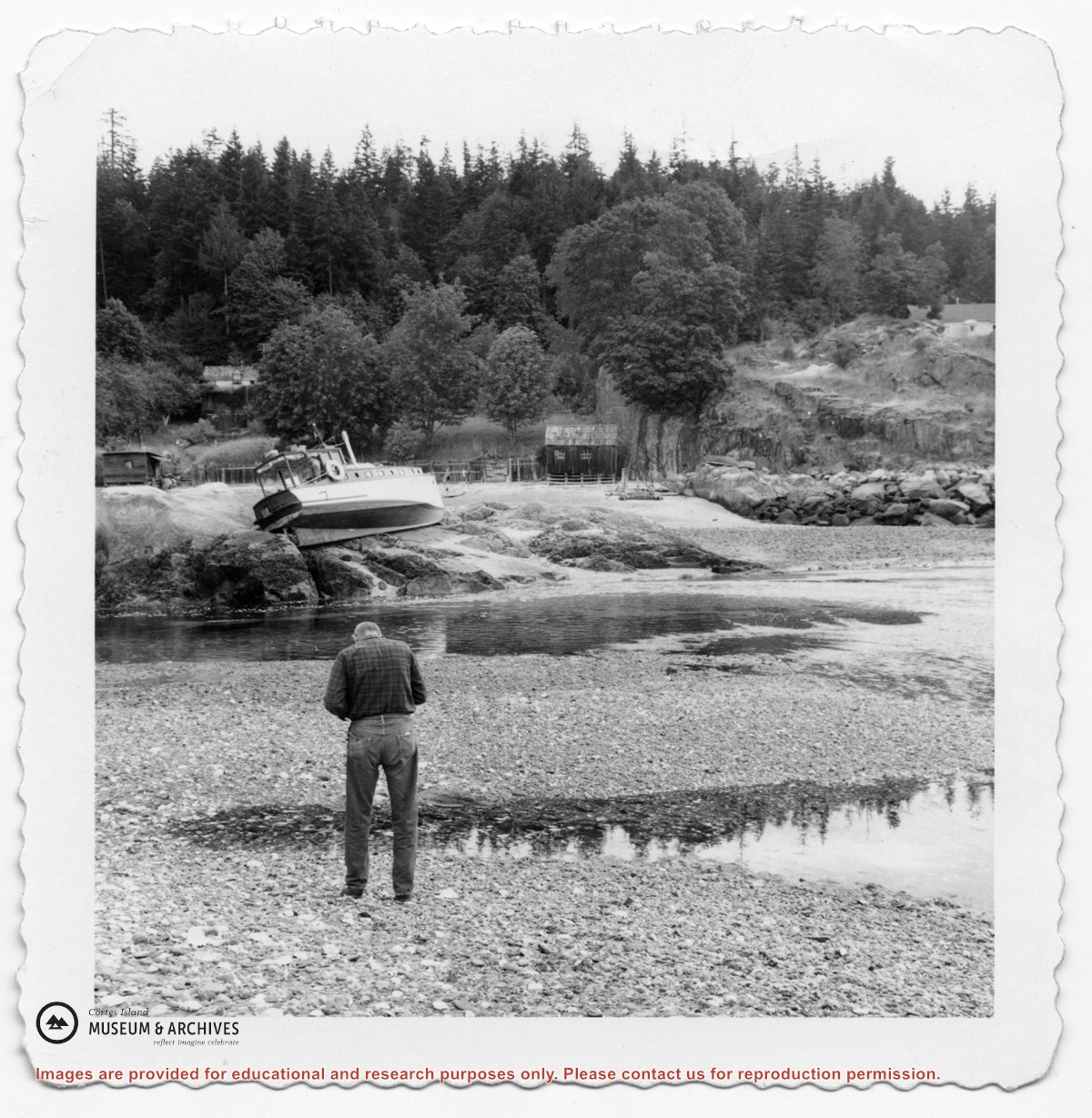
Series consists of articles, maps, correspondence, and notes pertaining to public access of Hank's Beach and surrounding areas on the south end of Cortes Island.
Series consists of articles, maps, correspondence, and notes pertaining to public access of Hank's Beach and surrounding areas on the south end of Cortes Island.
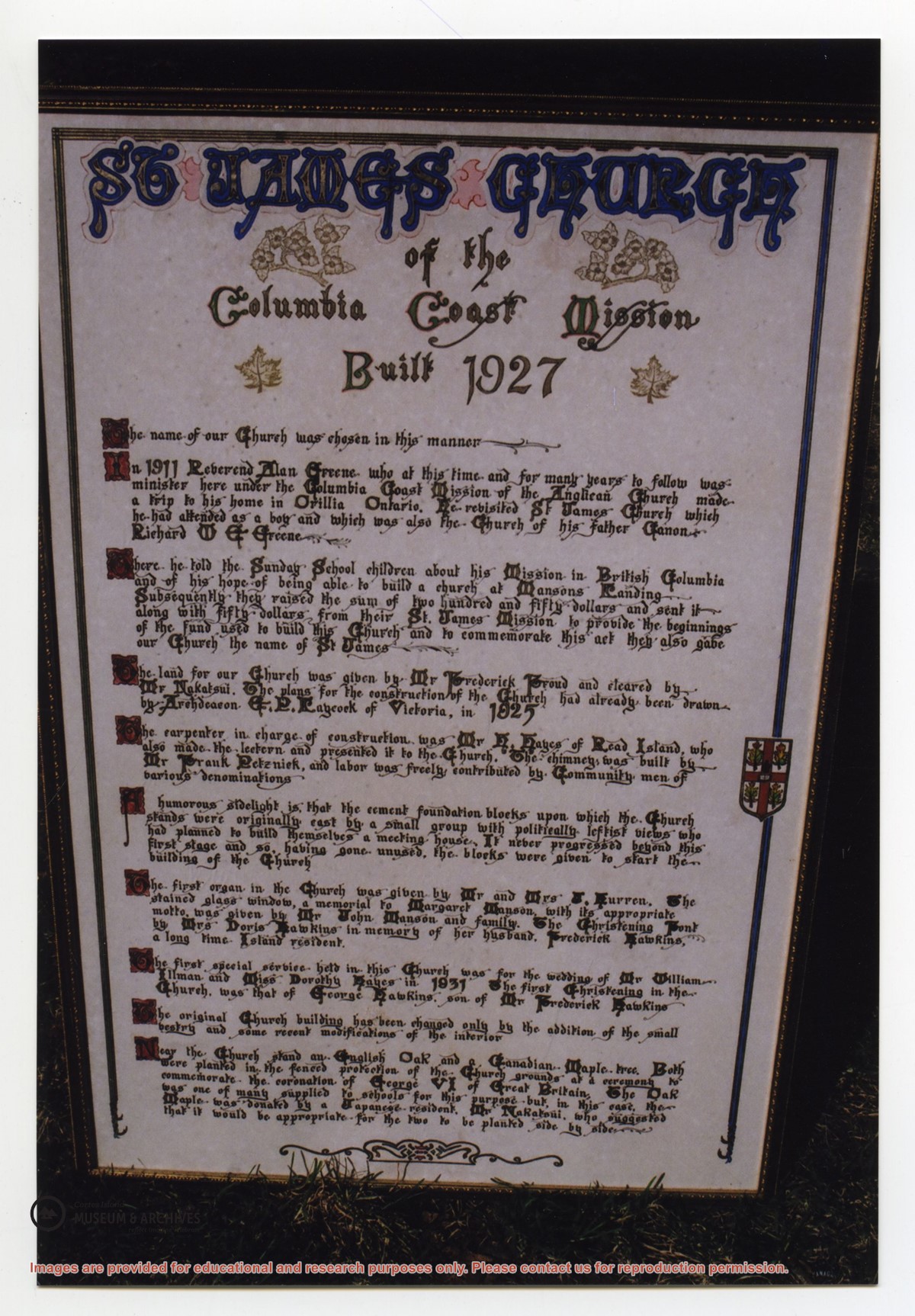
Photograph of a large, hand-lettered and framed poster which details the history of St. James Church, built in 1927. The vision behind the church, the names of community members who donated land and built the church, the first special services, and the planting of two special trees are mentioned. This plaque is now at CIMAS.
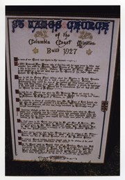
Photograph of a large, hand-lettered and framed poster which details the history of St. James Church, built in 1927. The vision behind the church, the names of community members who donated land and built the church, the first special services, and the planting of two special trees are mentioned. This plaque is now at CIMAS.