File contains a photocopied section map of the northern part of Cortes Island (from just south of Gorge Harbour), coloured to indicate areas for which a Crown Grant was located and areas of ungranted Crown land which still appear to be owned by the government. Scale is 1 mile to 1 inch.
File contains a photocopied section map of the northern part of Cortes Island (from just south of Gorge Harbour), coloured to indicate areas for which a Crown Grant was located and areas of ungranted Crown land which still appear to be owned by the government. Scale is 1 mile to 1 inch.
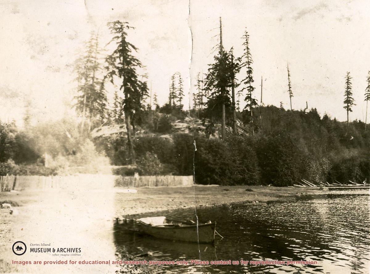
Information packets on the flaura, fauna, and marine life of Manson's Lagoon from CIMAS, Fred and Ruth Zwickel, Sierra Sullivan, and others, 1990-2007. Transcript from Ken Summers in conversation with Susan Ellingsen, Dianne Hentschel and Doreen Thompson, 2005.
Information packets on the flaura, fauna, and marine life of Manson's Lagoon from CIMAS, Fred and Ruth Zwickel, Sierra Sullivan, and others, 1990-2007. Transcript from Ken Summers in conversation with Susan Ellingsen, Dianne Hentschel and Doreen Thompson, 2005.
Various maps of Cortes Island and surrounding areas with tourist info, trails, provincial parks, local businesses, sites, property lines, topography, charts, etc, 1916-present. Info on Hiking and Orienteering Map of Cortes Island, 2003, and Cortes Island Community Mapping Project, 2011. Info on Discovery Islands Ecosystem Mapping (DIEM), 2012-2014.
Various maps of Cortes Island and surrounding areas with tourist info, trails, provincial parks, local businesses, sites, property lines, topography, charts, etc, 1916-present. Info on Hiking and Orienteering Map of Cortes Island, 2003, and Cortes Island Community Mapping Project, 2011. Info on Discovery Islands Ecosystem Mapping (DIEM), 2012-2014.
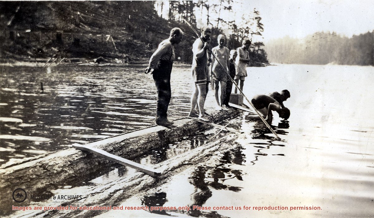
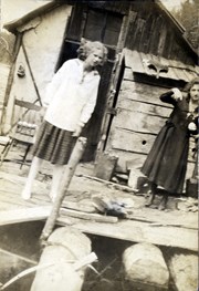
Photograph of seven people, all but one in bathing suits, standing on a dock made of two logs with a few boards nailed across them, in Carrington Lagoon.
Photograph of seven people, all but one in bathing suits, standing on a dock made of two logs with a few boards nailed across them, in Carrington Lagoon.
Series consists of a hand drawn map of Cortes Island showing places of interest to visitors, maps showing the location of hydro distribution lines on Cortes Island, maps related to zoning and rezoning on Cortes Island, the Official Settlement Plan, and a drawing showing an engineering plan for the Whaletown ferry terminal.
Series consists of a hand drawn map of Cortes Island showing places of interest to visitors, maps showing the location of hydro distribution lines on Cortes Island, maps related to zoning and rezoning on Cortes Island, the Official Settlement Plan, and a drawing showing an engineering plan for the Whaletown ferry terminal.