File contains a photocopied section map of the northern part of Cortes Island (from just south of Gorge Harbour), coloured to indicate areas for which a Crown Grant was located and areas of ungranted Crown land which still appear to be owned by the government. Scale is 1 mile to 1 inch.
File contains a photocopied section map of the northern part of Cortes Island (from just south of Gorge Harbour), coloured to indicate areas for which a Crown Grant was located and areas of ungranted Crown land which still appear to be owned by the government. Scale is 1 mile to 1 inch.
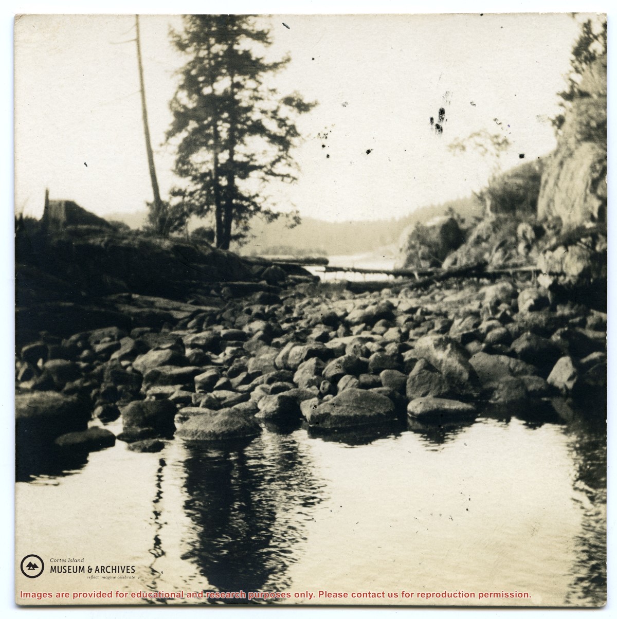
Information packets on the flaura, fauna, and marine life of Manson's Lagoon from CIMAS, Fred and Ruth Zwickel, Sierra Sullivan, and others, 1990-2007. Transcript from Ken Summers in conversation with Susan Ellingsen, Dianne Hentschel and Doreen Thompson, 2005.
Information packets on the flaura, fauna, and marine life of Manson's Lagoon from CIMAS, Fred and Ruth Zwickel, Sierra Sullivan, and others, 1990-2007. Transcript from Ken Summers in conversation with Susan Ellingsen, Dianne Hentschel and Doreen Thompson, 2005.
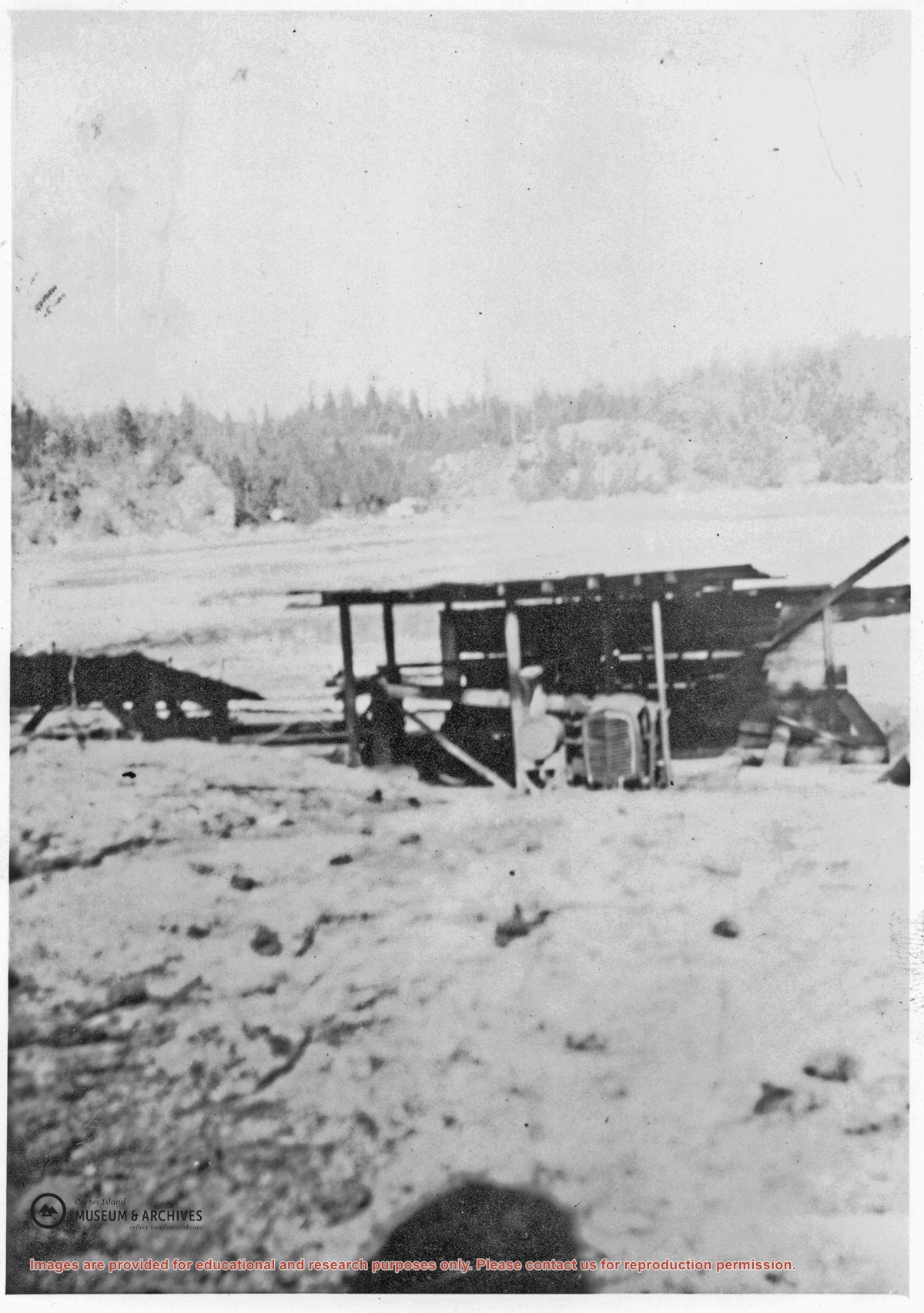
A small lumber mill which was located on the west side of Manson's Lagoon. Some ot the lumber cut with it was used to build the Manson's Landing store put up after Mr. Percy owned the property. Roland (Rollie) Woolsey worked there at the time.
A small lumber mill which was located on the west side of Manson's Lagoon. Some ot the lumber cut with it was used to build the Manson's Landing store put up after Mr. Percy owned the property. Roland (Rollie) Woolsey worked there at the time.
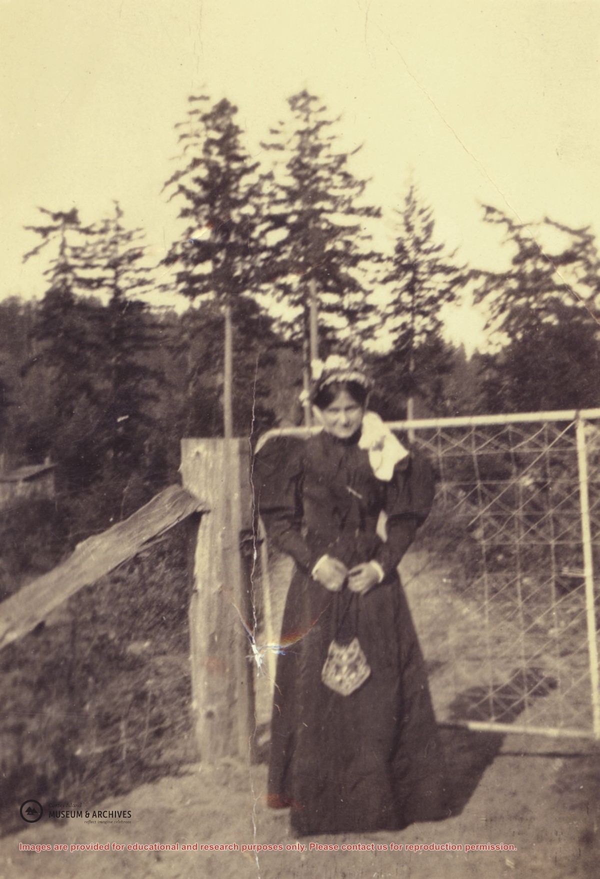
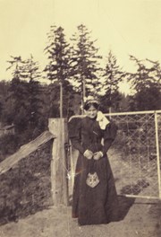
Marjorie Hayes in a long dress with puffed sleeves posing in front of the top gate at "Spit House", Manson's Lagoon.. (Photograph from the Hayes family.)
Marjorie Hayes in a long dress with puffed sleeves posing in front of the top gate at "Spit House", Manson's Lagoon.. (Photograph from the Hayes family.)
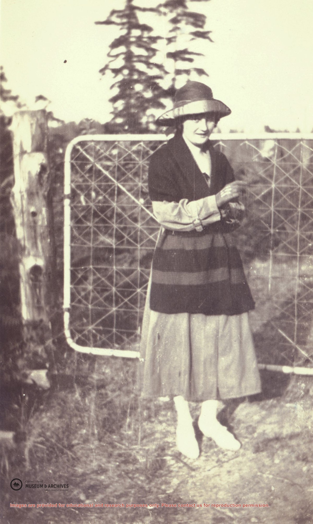
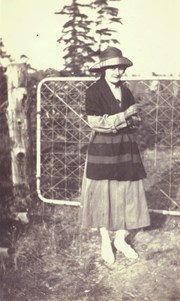
Myrtle (Nerine) Hayes standing in front of the top gate at "Spit House", Manson's Lagoon. When the Hayes family arrived on Cortes Island in 1917, they rented the "Big House", formerly the house of the Michael Manson family at Manson's Lagoon. The first Manson home, a cottage, was past the "Big House" towards the end of the sand spit. (Photograph from the Hayes family.)
Myrtle (Nerine) Hayes standing in front of the top gate at "Spit House", Manson's Lagoon. When the Hayes family arrived on Cortes Island in 1917, they rented the "Big House", formerly the house of the Michael Manson family at Manson's Lagoon. The first Manson home, a cottage, was past the "Big House" towards the end of the sand spit. (Photograph from the Hayes family.)
Various maps of Cortes Island and surrounding areas with tourist info, trails, provincial parks, local businesses, sites, property lines, topography, charts, etc, 1916-present. Info on Hiking and Orienteering Map of Cortes Island, 2003, and Cortes Island Community Mapping Project, 2011. Info on Discovery Islands Ecosystem Mapping (DIEM), 2012-2014.
Various maps of Cortes Island and surrounding areas with tourist info, trails, provincial parks, local businesses, sites, property lines, topography, charts, etc, 1916-present. Info on Hiking and Orienteering Map of Cortes Island, 2003, and Cortes Island Community Mapping Project, 2011. Info on Discovery Islands Ecosystem Mapping (DIEM), 2012-2014.
File contains a map and notes, and information on the following:
Mabel Huck: 1920, Crown Grant for NE 1/4 of Sec. 40; file shows the original grant, a tax sale forfeit in 1939, a regrant in 1957 with immediate sale to MacMillan/Bloedel.
William Barrett: 1916, Crown Grant for NW 1/4 of Sec. 40; $160 for 160 acres.
Herbert Benjamin Middleton: 1916, Crown Grant for SW 1/4 of Sec. 40, 168 acres for $168.00
August Teuber: 1904, Crown Grant for SE 14 of Sec. 40; 160 acres for $160.00.
File contains a map key to the areas of Sections 17, 18, 19, 22 and 34 (south of Gorge Harbour) which were researched (Information in Files 3-7).
It contains photocopies of original land grants and subsequent conveyances for the following:
Reginald James Smith: 1946, Crown Grant 165414I for fractional SE 1/4 of Sec 23, 1946 (the Thunder Road subdivision at the eastern end of Gorge Harbour).
(Files 3 through 7 are from the same envelope.)
File contains a key map which was pasted on the front of the envelope indicating the areas researched for Files 12-16; notes on the titles; photocopies of Crown Grants and subsequent title information for:
BC Buildings Corp: 1982, Crown Grant for Block A of SW 1/4 of Sec. 25 (Highways Maintenance Yard)
District Lot 871 (40 acres between Carrington and Coulter Bays): to James Frederick McManus, 1919
To Ernest Henry Vaughn: 1922, Crown Grant for NE 1/4 and NW 1/4 of NE 1/4 of Sec. 24; SE 1/4 of SW 1/4 and SW 1/4 of SE 1/4 of Sec 31
Herbert Proctor: 1928 for fractional SW 1/4 of Sec. 41, bordering Tork Reserve; 159 acres for $159.00 (orig. Crown Grant to Herbert Proctor in 1922)
To William Cowan: 1937, E 1/2 of SE 1/4 of Sec. 26, 89 acres
(Files 12 through 16 are from the same envelope.)
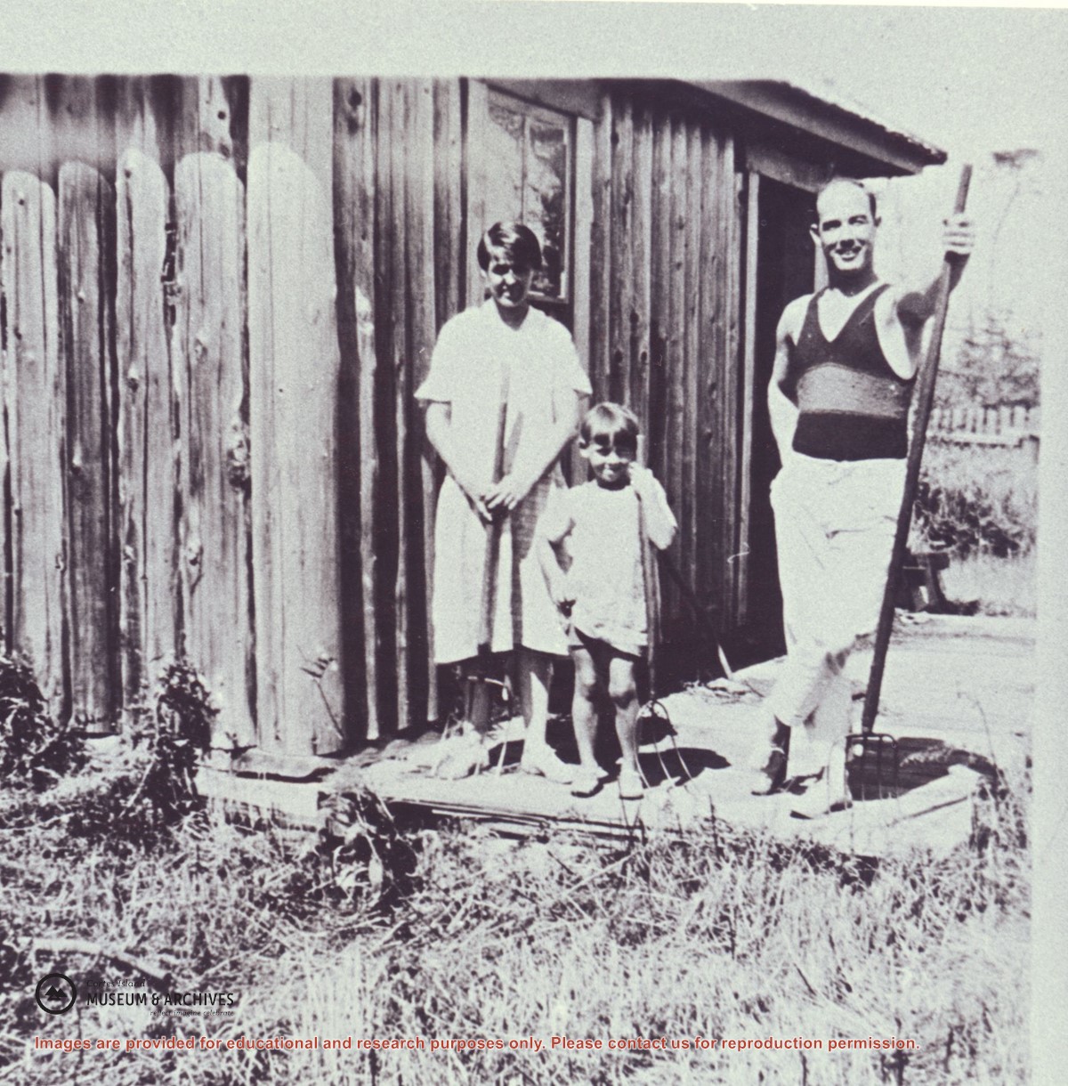
Jean Manson, her daughter Dorothy, and friend Cliff Owen standing on the porch of a house built at 'Blaney's' near Baker's Front, south side of Hernando Island. The Mansons planted potatoes or hay there.
Jean Manson, her daughter Dorothy, and friend Cliff Owen standing on the porch of a house built at 'Blaney's' near Baker's Front, south side of Hernando Island. The Mansons planted potatoes or hay there.
Series consists of 80 photographs with typed explanatory captions, depicting scenes and activities relating to the Manson's Landing school, general scenes of Cortes Island, and James Nixon family of Twin Islands. Many of the the photographs have information written on their backs.
May Ellingsen compiled this album from photographs in the possession of the Manson family and wrote the explanatory captions. The photographs of Manson's school were taken by Katherine Lettice, the teacher at the time; photographs of Twin Islands were taken by the Nixon family, who lived there and were friends of the Manson family. Photographs were turned over to May by Rose or John Manson. Some photographs were in May's possession as her mother, Robina (Manson) Freeman, was a daughter of Michael Manson.
Scope and Content
Series consists of 80 photographs with typed explanatory captions, depicting scenes and activities relating to the Manson's Landing school, general scenes of Cortes Island, and James Nixon family of Twin Islands. Many of the the photographs have information written on their backs.