File contains a photocopied section map of the northern part of Cortes Island (from just south of Gorge Harbour), coloured to indicate areas for which a Crown Grant was located and areas of ungranted Crown land which still appear to be owned by the government. Scale is 1 mile to 1 inch.
File contains a photocopied section map of the northern part of Cortes Island (from just south of Gorge Harbour), coloured to indicate areas for which a Crown Grant was located and areas of ungranted Crown land which still appear to be owned by the government. Scale is 1 mile to 1 inch.
Information packets on the flaura, fauna, and marine life of Manson's Lagoon from CIMAS, Fred and Ruth Zwickel, Sierra Sullivan, and others, 1990-2007. Transcript from Ken Summers in conversation with Susan Ellingsen, Dianne Hentschel and Doreen Thompson, 2005.
Information packets on the flaura, fauna, and marine life of Manson's Lagoon from CIMAS, Fred and Ruth Zwickel, Sierra Sullivan, and others, 1990-2007. Transcript from Ken Summers in conversation with Susan Ellingsen, Dianne Hentschel and Doreen Thompson, 2005.
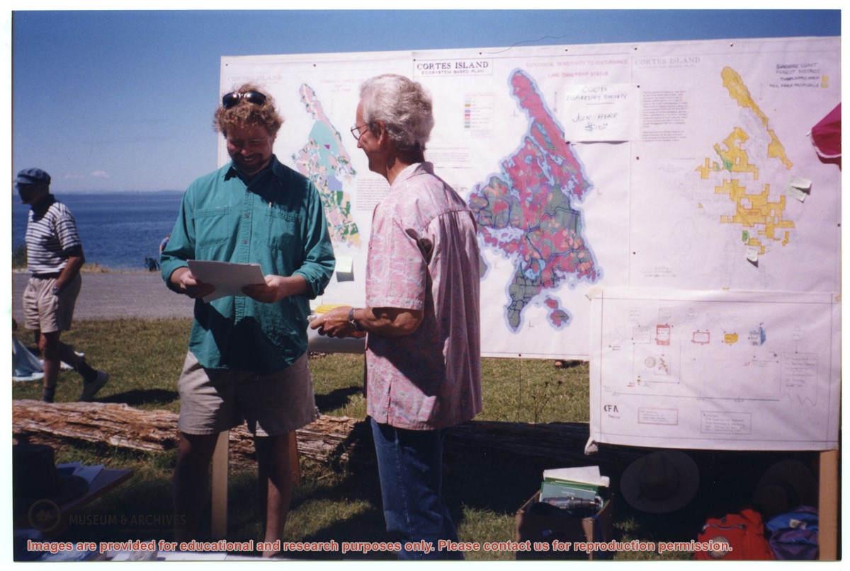
Various maps of Cortes Island and surrounding areas with tourist info, trails, provincial parks, local businesses, sites, property lines, topography, charts, etc, 1916-present. Info on Hiking and Orienteering Map of Cortes Island, 2003, and Cortes Island Community Mapping Project, 2011. Info on Discovery Islands Ecosystem Mapping (DIEM), 2012-2014.
Various maps of Cortes Island and surrounding areas with tourist info, trails, provincial parks, local businesses, sites, property lines, topography, charts, etc, 1916-present. Info on Hiking and Orienteering Map of Cortes Island, 2003, and Cortes Island Community Mapping Project, 2011. Info on Discovery Islands Ecosystem Mapping (DIEM), 2012-2014.
File consists of correspondence, and drafts and published copies of the newsletter (April, June and October of 1994; Feb, Apr, Aug and Dec of 1995; Aug 1996; and a report on a revision of the Official Community Plan, 1995).
File consists of correspondence, and drafts and published copies of the newsletter (April, June and October of 1994; Feb, Apr, Aug and Dec of 1995; Aug 1996; and a report on a revision of the Official Community Plan, 1995).
Series consists of articles, maps, correspondence, and notes pertaining to public access of Hank's Beach and surrounding areas on the south end of Cortes Island.
Series consists of articles, maps, correspondence, and notes pertaining to public access of Hank's Beach and surrounding areas on the south end of Cortes Island.
Series consists of records created or collected by Nursall during his term as Regional Director of Area I (Cortes Island) on the Comox-Strathcona Regional Board. It includes minutes of Advisory Planning Commission, community plans and maps, correspondence, background material and ephemera.
Series is arranged in five subseries following Nursall's original ordering: Advisory Planning Commission; Community Plans; Regional District of Comox-Strathcona: Regional Board; Regional District of Comox-Strathcona: Committees; and Subject Files - Cortes Affairs.
Storage Range
1-1 - 3-3
Related Material
Regional Director of Cortes Island Electoral Area fonds
Series consists of Timber Supply Area documents, including correspondence, newspaper clippings, reports, meeting minutes, maps, management plans, and a development plan.
Series consists of Timber Supply Area documents, including correspondence, newspaper clippings, reports, meeting minutes, maps, management plans, and a development plan.