File contains a photocopied section map of the northern part of Cortes Island (from just south of Gorge Harbour), coloured to indicate areas for which a Crown Grant was located and areas of ungranted Crown land which still appear to be owned by the government. Scale is 1 mile to 1 inch.
File contains a photocopied section map of the northern part of Cortes Island (from just south of Gorge Harbour), coloured to indicate areas for which a Crown Grant was located and areas of ungranted Crown land which still appear to be owned by the government. Scale is 1 mile to 1 inch.
File contains a map key to the areas of Sections 17, 18, 19, 22 and 34 (south of Gorge Harbour) which were researched (Information in Files 3-7).
It contains photocopies of original land grants and subsequent conveyances for the following:
Reginald James Smith: 1946, Crown Grant 165414I for fractional SE 1/4 of Sec 23, 1946 (the Thunder Road subdivision at the eastern end of Gorge Harbour).
(Files 3 through 7 are from the same envelope.)
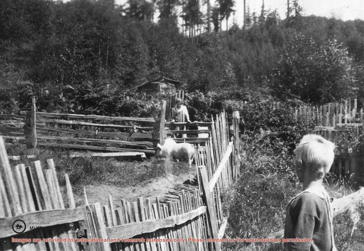
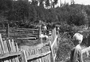
Photograph of two pigs in a pen with picket and rail fencing; a woman is leaning on the far line of fence and a boy is in the right foreground. A shed and fruit trees, and a forested hill, can be seen in the background. Photo is probably at Burnside.
Photograph of two pigs in a pen with picket and rail fencing; a woman is leaning on the far line of fence and a boy is in the right foreground. A shed and fruit trees, and a forested hill, can be seen in the background. Photo is probably at Burnside.
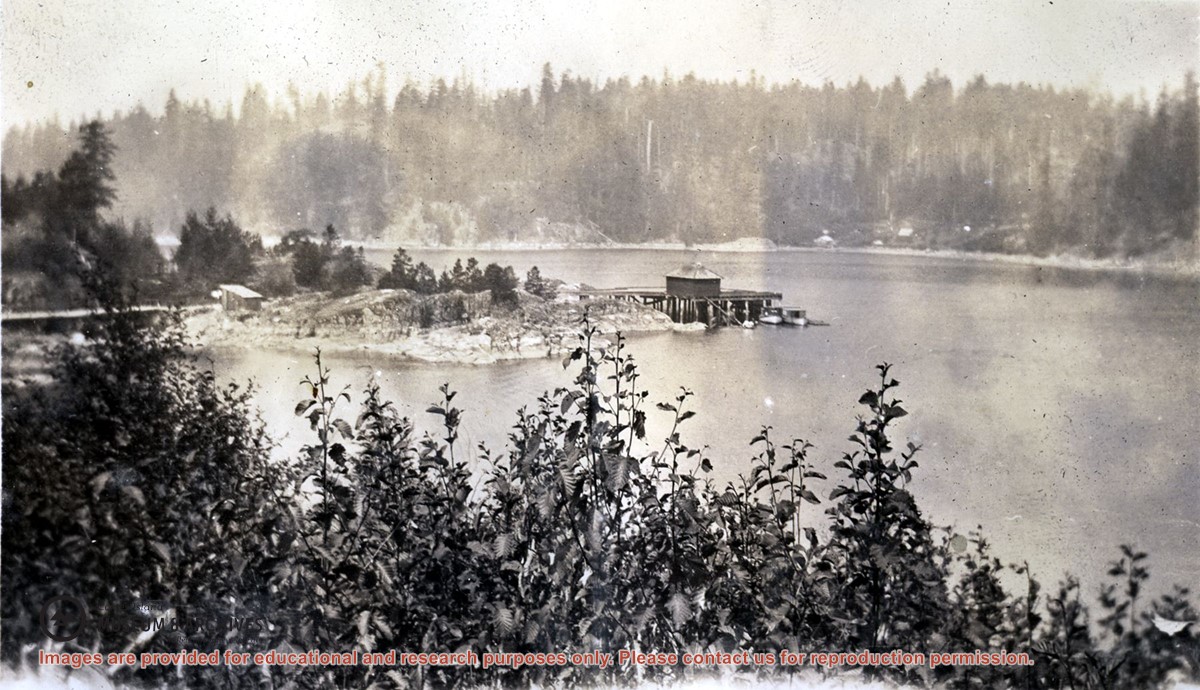
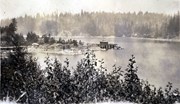
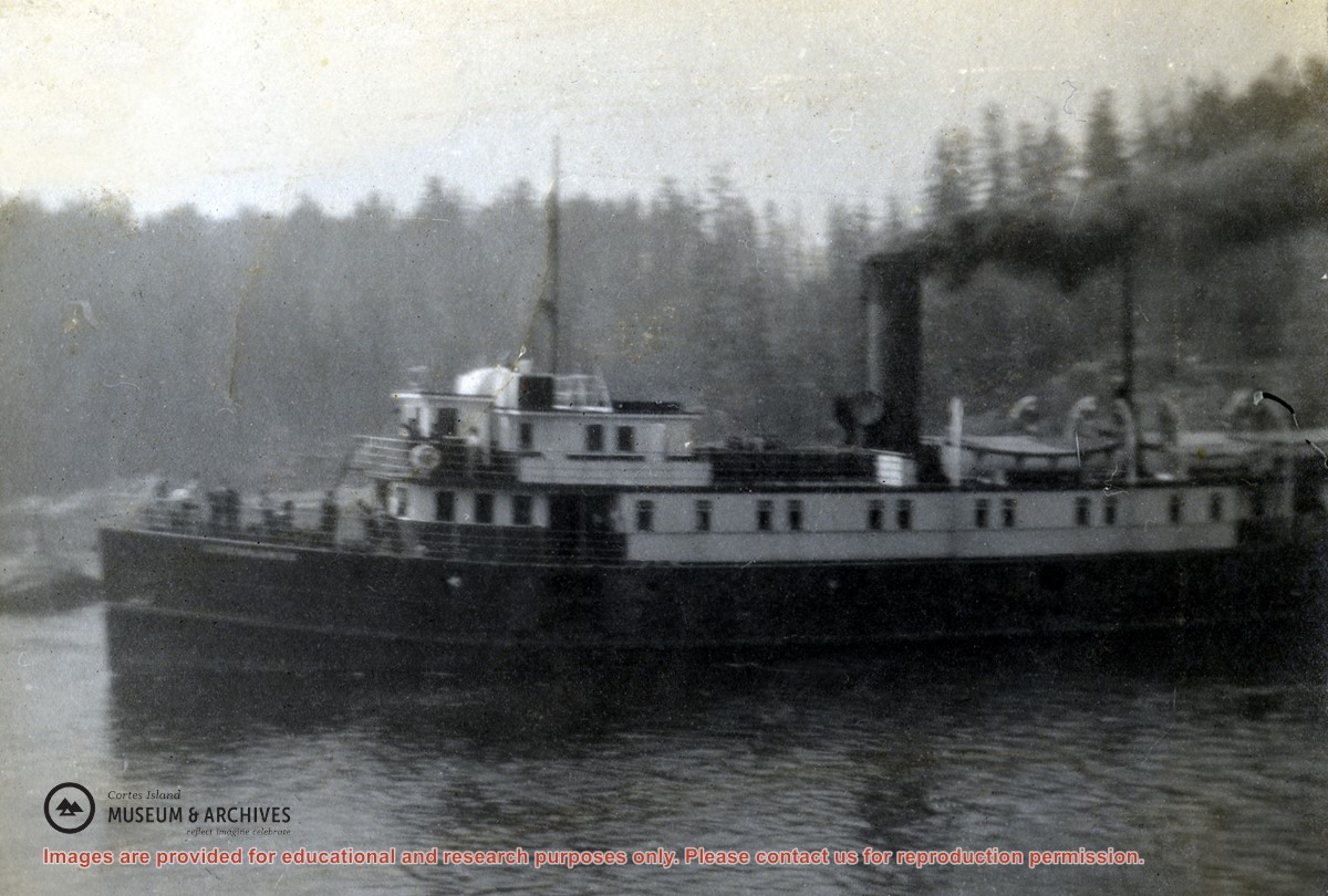
Photograph is an overview of Whaletown and Whaletown Bay, showing the dock and freight shed and the houses across the bay near the current site of the ferry dock.
Photograph is an overview of Whaletown and Whaletown Bay, showing the dock and freight shed and the houses across the bay near the current site of the ferry dock.
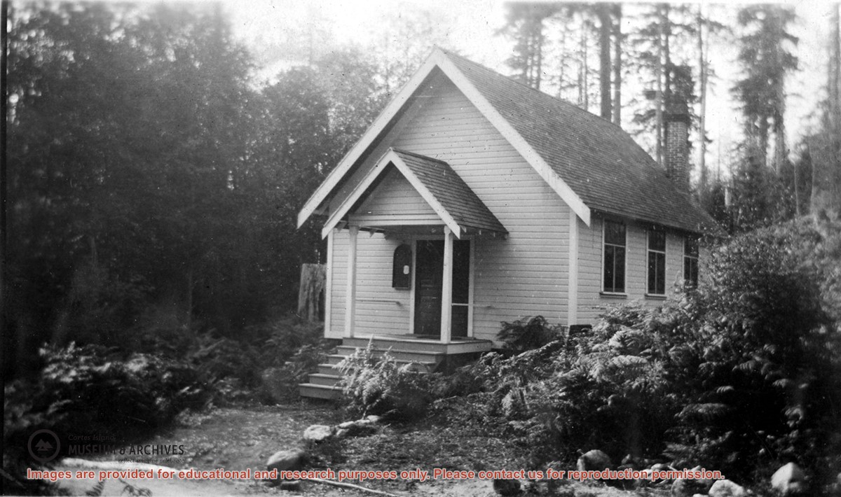
Photograph of the Church Hall in Whaletown, which stood in front of the old cemetery at the corner of Carrington Bay and Harbour roads. It served the community as both church and a venue for social events for almost forty years. The original Whaletown school became its kitchen, and a sleeping place for tired children.
Photograph of the Church Hall in Whaletown, which stood in front of the old cemetery at the corner of Carrington Bay and Harbour roads. It served the community as both church and a venue for social events for almost forty years. The original Whaletown school became its kitchen, and a sleeping place for tired children.