Various maps of Cortes Island and surrounding areas with tourist info, trails, provincial parks, local businesses, sites, property lines, topography, charts, etc, 1916-present. Info on Hiking and Orienteering Map of Cortes Island, 2003, and Cortes Island Community Mapping Project, 2011. Info on Discovery Islands Ecosystem Mapping (DIEM), 2012-2014.
Various maps of Cortes Island and surrounding areas with tourist info, trails, provincial parks, local businesses, sites, property lines, topography, charts, etc, 1916-present. Info on Hiking and Orienteering Map of Cortes Island, 2003, and Cortes Island Community Mapping Project, 2011. Info on Discovery Islands Ecosystem Mapping (DIEM), 2012-2014.
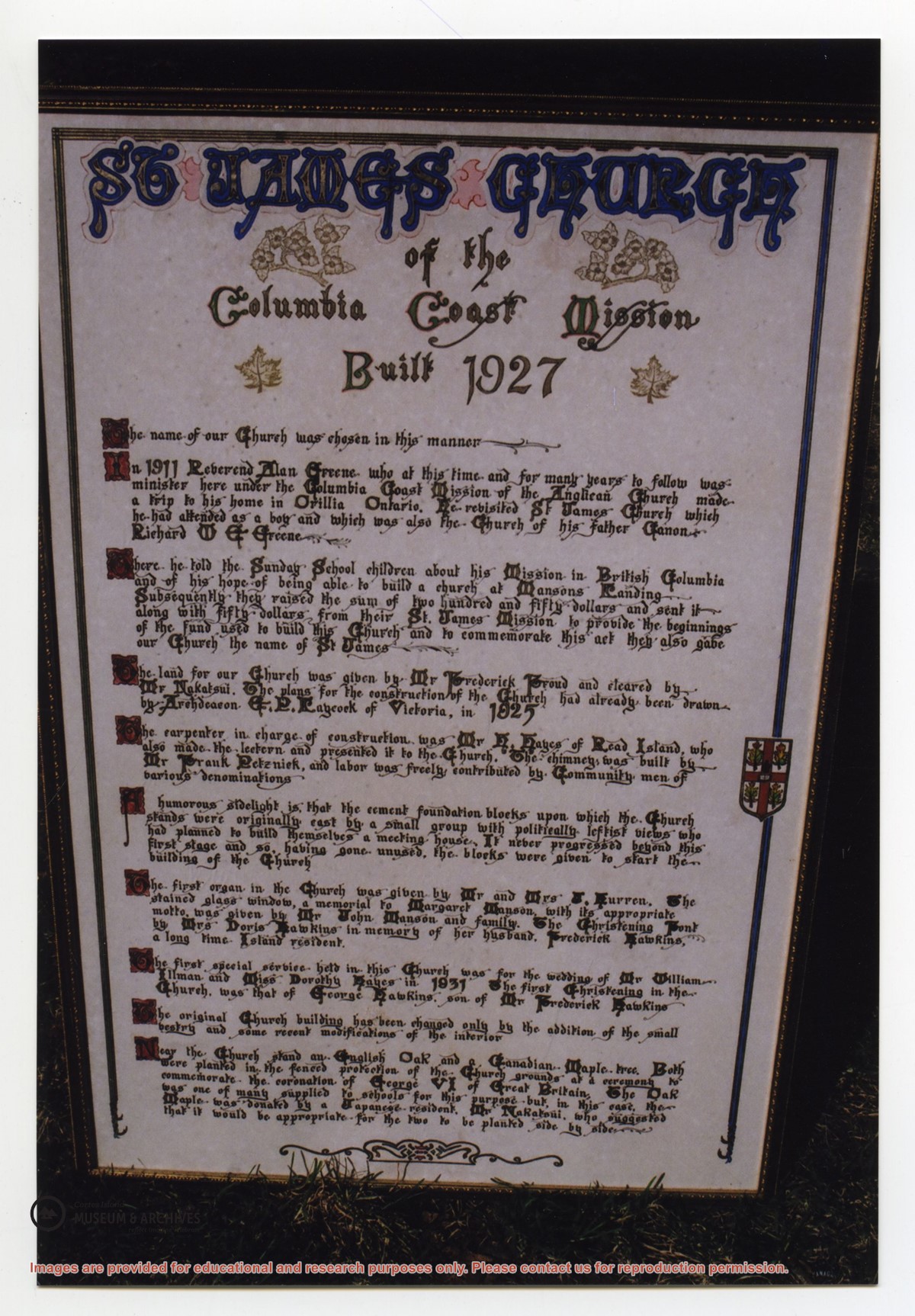
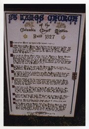
Photograph of a large, hand-lettered and framed poster which details the history of St. James Church, built in 1927. The vision behind the church, the names of community members who donated land and built the church, the first special services, and the planting of two special trees are mentioned. This plaque is now at CIMAS.
Photograph of a large, hand-lettered and framed poster which details the history of St. James Church, built in 1927. The vision behind the church, the names of community members who donated land and built the church, the first special services, and the planting of two special trees are mentioned. This plaque is now at CIMAS.
File contains a photocopied section map of the northern part of Cortes Island (from just south of Gorge Harbour), coloured to indicate areas for which a Crown Grant was located and areas of ungranted Crown land which still appear to be owned by the government. Scale is 1 mile to 1 inch.
File contains a photocopied section map of the northern part of Cortes Island (from just south of Gorge Harbour), coloured to indicate areas for which a Crown Grant was located and areas of ungranted Crown land which still appear to be owned by the government. Scale is 1 mile to 1 inch.
File contains a map key to the areas of Sections 17, 18, 19, 22 and 34 (south of Gorge Harbour) which were researched (Information in Files 3-7).
It contains photocopies of original land grants and subsequent conveyances for the following:
Reginald James Smith: 1946, Crown Grant 165414I for fractional SE 1/4 of Sec 23, 1946 (the Thunder Road subdivision at the eastern end of Gorge Harbour).
(Files 3 through 7 are from the same envelope.)
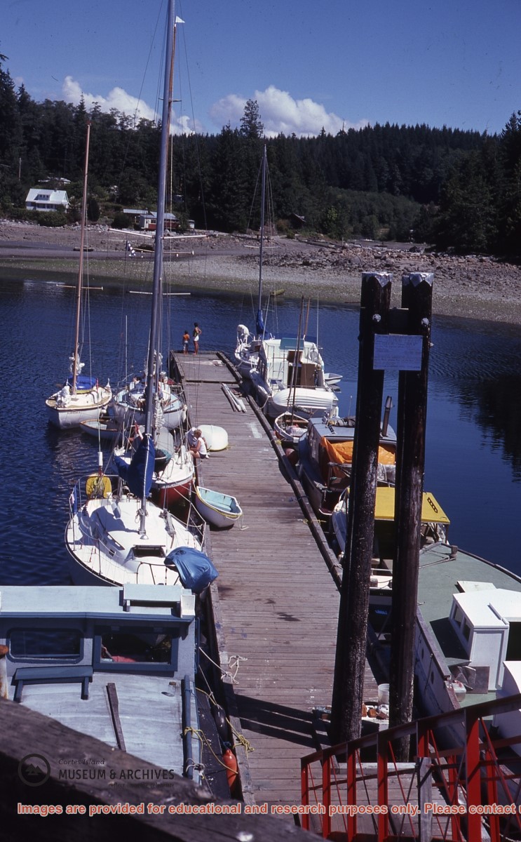
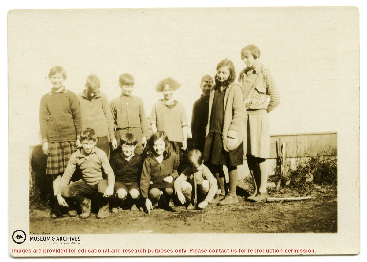
Clippings, emails, and written info on history, people, events, placenames, schools, post offices, libraries, churches, parks, SRD updates, and businesses in Whaletown, info from 1867-2018. Additional keywords: Columbia Coast Mission; Whaletown Commons; Trude's Cafe; Wee Park; WNE. Excerpt from Phillip Major's Diary, 1948. Excerpts from Chalkdust & Outhouses, West Coast Schools 1893-1950, Barbara Ann Lambert, and The Log of the Columbia, 1947-1950. A Tour Guide to Whaletown, K. Pemberton, 1999. Letters to Doreen Thompson from Mary M. McMillan, Etta Byers, D. Henderson, McKay, and Peggy Munro Anderson, 1999. Photos (copies) from Norma DeWolfe of Whaletown store, dock, post office, ferry, 1970s.
Clippings, emails, and written info on history, people, events, placenames, schools, post offices, libraries, churches, parks, SRD updates, and businesses in Whaletown, info from 1867-2018. Additional keywords: Columbia Coast Mission; Whaletown Commons; Trude's Cafe; Wee Park; WNE. Excerpt from Phillip Major's Diary, 1948. Excerpts from Chalkdust & Outhouses, West Coast Schools 1893-1950, Barbara Ann Lambert, and The Log of the Columbia, 1947-1950. A Tour Guide to Whaletown, K. Pemberton, 1999. Letters to Doreen Thompson from Mary M. McMillan, Etta Byers, D. Henderson, McKay, and Peggy Munro Anderson, 1999. Photos (copies) from Norma DeWolfe of Whaletown store, dock, post office, ferry, 1970s.
Clippings, emails, and additional info on history of whaletown dock including government issued certificates, land registries, and subdivisions, 1903-2019.
Clippings, emails, and additional info on history of whaletown dock including government issued certificates, land registries, and subdivisions, 1903-2019.