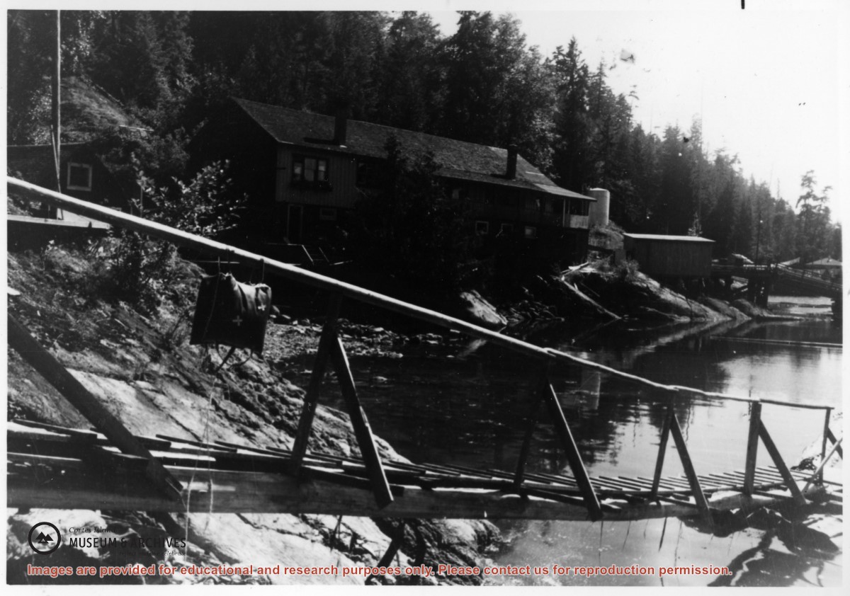
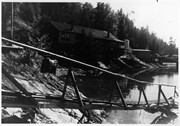
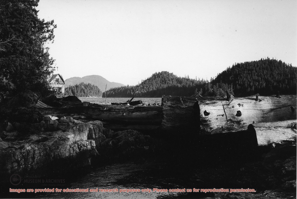
Photograph of the original store at Refuge Cove, taken from the head of the ramp by Norman and Doris Hope's house. To the right of the store is a fuel tank and a shed used for storing the tools needed for the tanks, drums of oil, etc. The store burned down in 1968.
Photograph of the original store at Refuge Cove, taken from the head of the ramp by Norman and Doris Hope's house. To the right of the store is a fuel tank and a shed used for storing the tools needed for the tanks, drums of oil, etc. The store burned down in 1968.
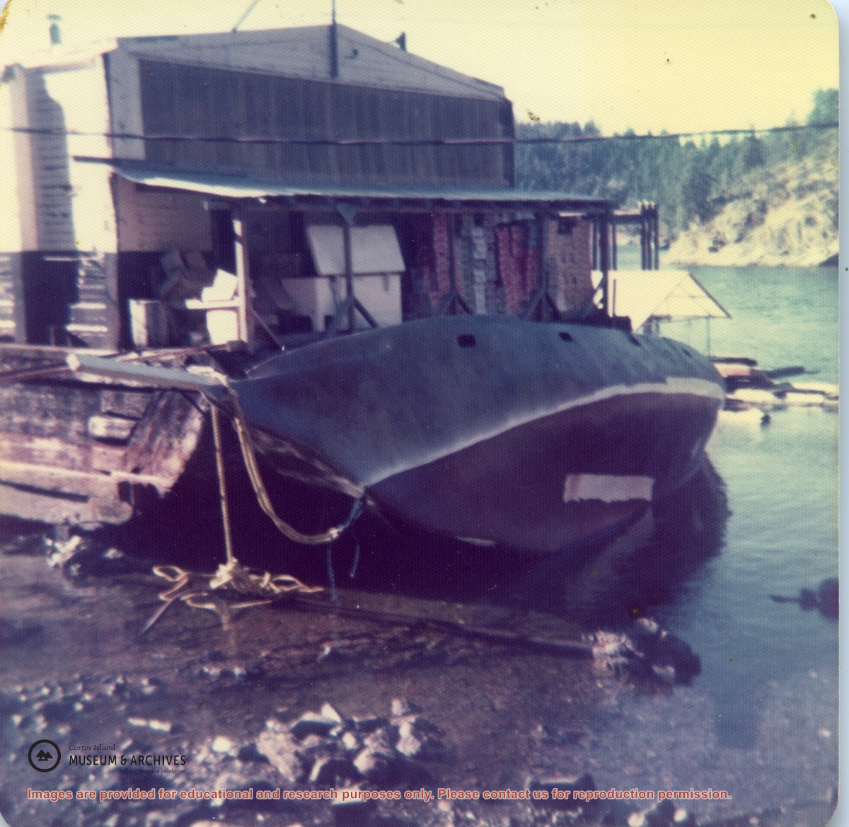
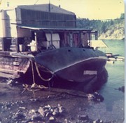
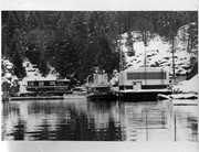
View of the new store, still sitting on its barge but the barge is no longer floating; it is now inter-tidal. Skip Frucktinick's (sp?) ferro-cement sailboat is leaning against it.
View of the new store, still sitting on its barge but the barge is no longer floating; it is now inter-tidal. Skip Frucktinick's (sp?) ferro-cement sailboat is leaning against it.
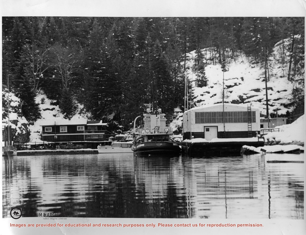
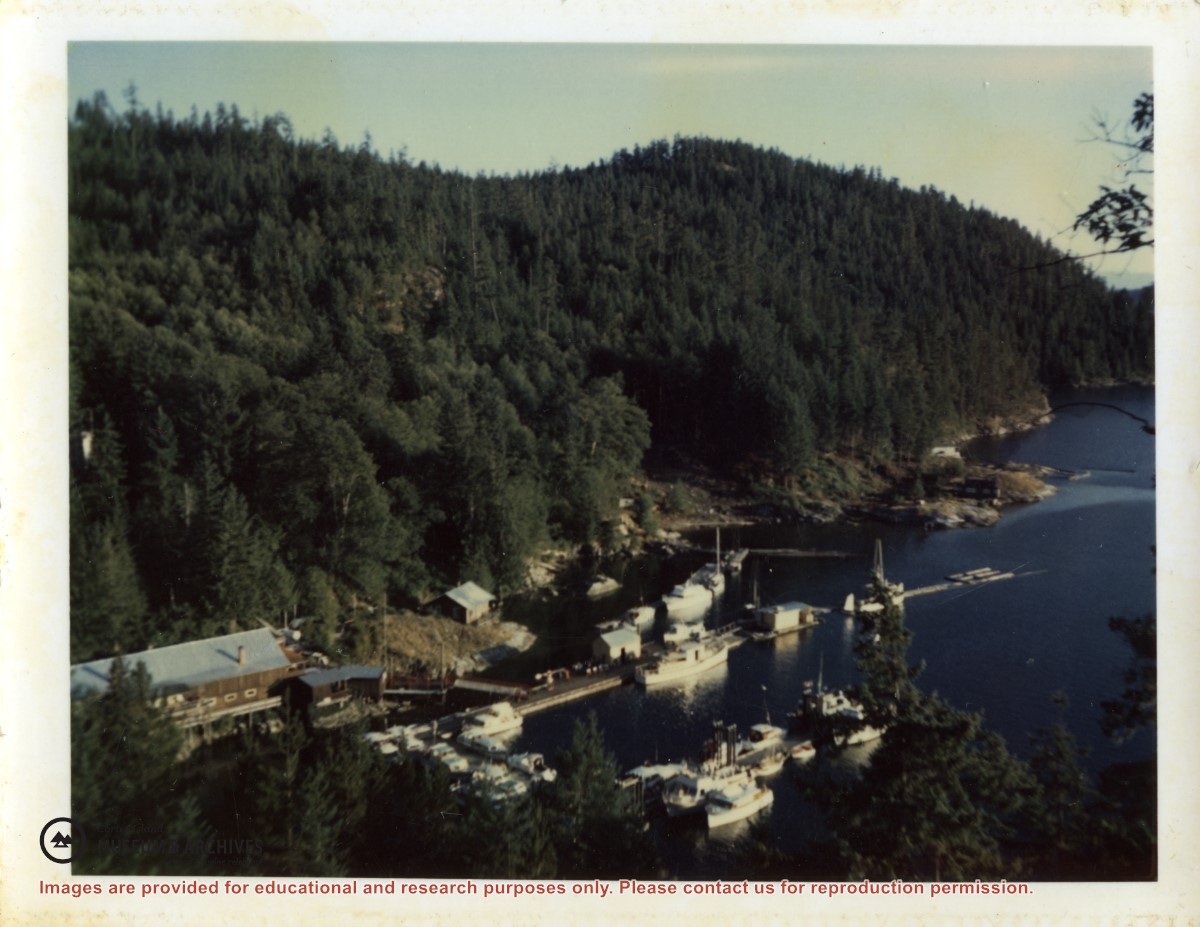
Photograph of Doris Hope's house at left, and the new store that MacMillan Bloedel barged in to replace the old one that had burned down. The tug that towed it in is beside it.
Photograph of Doris Hope's house at left, and the new store that MacMillan Bloedel barged in to replace the old one that had burned down. The tug that towed it in is beside it.
Series contains information on historic Crown Grants and subsequent title changes compiled by Doreen Thompson during her research for the CIMAS Windows on Whaletown exhibit in 1999. The area covered includes the northern part of Cortes Island, from just south of Gorge Harbour. Material includes maps, photocopies of original Crown Grants and other title documents, lists of subdivisions, and notes on changes of title.
Records were organized by Section or Plan number in large envelopes with a cover map and notes about the properties researched on the envelope back. They trace the ownership of parcels of land from the first grant or purchase from the Crown to 1999. Original order has been maintained.
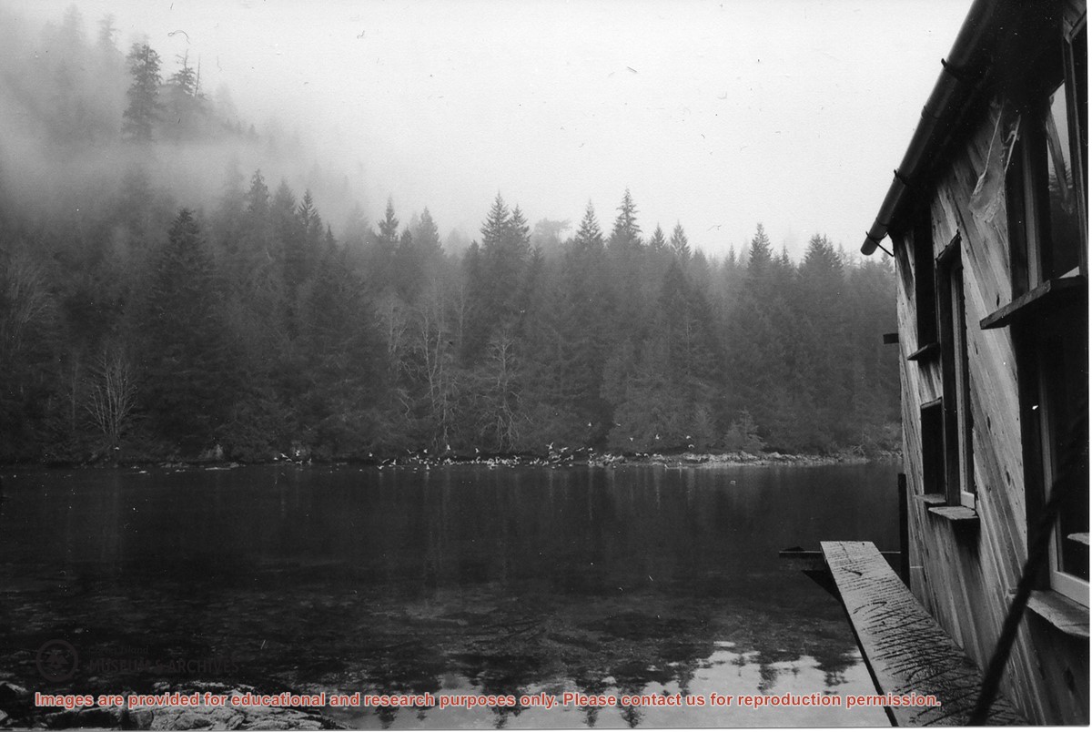
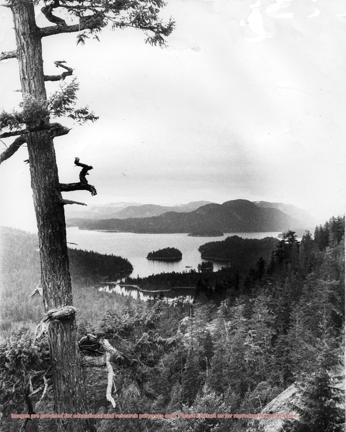
“Large numbers of sea birds overwinter in Carrington Lagoon & Bay. Nudibranchs spawn in lagoon as well as chum & coho (Spruce Creek). Herring run into the bay.”
“Large numbers of sea birds overwinter in Carrington Lagoon & Bay. Nudibranchs spawn in lagoon as well as chum & coho (Spruce Creek). Herring run into the bay.”
Looking north from Green Mountain over Carrington Lagoon and Carrington Bay (tidal falls in between) across 5 miles of water to Read Island, with a slew of islands to the north.