File contains maps of Bute Inlet (1970), Cortes Island/Read Island and surrounding area (ca. 1950), Powell River (1968) and Cortes Island zoning maps (Jan 1974).
File contains maps of Bute Inlet (1970), Cortes Island/Read Island and surrounding area (ca. 1950), Powell River (1968) and Cortes Island zoning maps (Jan 1974).
Series contains five maps:(1) Southern half of Cortes Island, BC Ministry of the Environment, 1975, 24" by 36"; (2) Marina Island and part of Gorge Harbour, BC Ministry of the Environment, 1975, 24" by 36"; (3)Cortes Island (West Half), surveyor's map, 1975, 18" by 44"; (4)Cortes Island (East Half), surveyor's map, 1975, 18" by 44"; (5) Cortes Island Coastal Resource Policies, Schedule B, 1987, 14" by 24", scale 1/50,000 - an RDCS planning map showing uses of the foreshore and water surrounding Cortes, with foreshore lease data to 1987.
Series contains five maps:(1) Southern half of Cortes Island, BC Ministry of the Environment, 1975, 24" by 36"; (2) Marina Island and part of Gorge Harbour, BC Ministry of the Environment, 1975, 24" by 36"; (3)Cortes Island (West Half), surveyor's map, 1975, 18" by 44"; (4)Cortes Island (East Half), surveyor's map, 1975, 18" by 44"; (5) Cortes Island Coastal Resource Policies, Schedule B, 1987, 14" by 24", scale 1/50,000 - an RDCS planning map showing uses of the foreshore and water surrounding Cortes, with foreshore lease data to 1987.
File contains hand-drawn maps from the early 1900s. There are two copies of the plan of part of SW 1/4 of Section 34; a plan of Gorge Harbour with names of owners written in; and a plan showing part of Read Island.
File contains hand-drawn maps from the early 1900s. There are two copies of the plan of part of SW 1/4 of Section 34; a plan of Gorge Harbour with names of owners written in; and a plan showing part of Read Island.
Series consists of a hand drawn map of Cortes Island showing places of interest to visitors, maps showing the location of hydro distribution lines on Cortes Island, maps related to zoning and rezoning on Cortes Island, the Official Settlement Plan, and a drawing showing an engineering plan for the Whaletown ferry terminal.
Series consists of a hand drawn map of Cortes Island showing places of interest to visitors, maps showing the location of hydro distribution lines on Cortes Island, maps related to zoning and rezoning on Cortes Island, the Official Settlement Plan, and a drawing showing an engineering plan for the Whaletown ferry terminal.
File contains five maps of Hernando Island: two showing plans of pre-emptions, 1891-1892; two copies of an old hand-drawn map, 1955; and one map of a later proposed development (undated). Some maps have notes on homesteads.
File contains five maps of Hernando Island: two showing plans of pre-emptions, 1891-1892; two copies of an old hand-drawn map, 1955; and one map of a later proposed development (undated). Some maps have notes on homesteads.
File contains zoning maps for Bylaw 41, Electoral Area I, Schedules A1-A7 with revisions to 1999. There is a map of the whole island and larger scale maps of island areas.
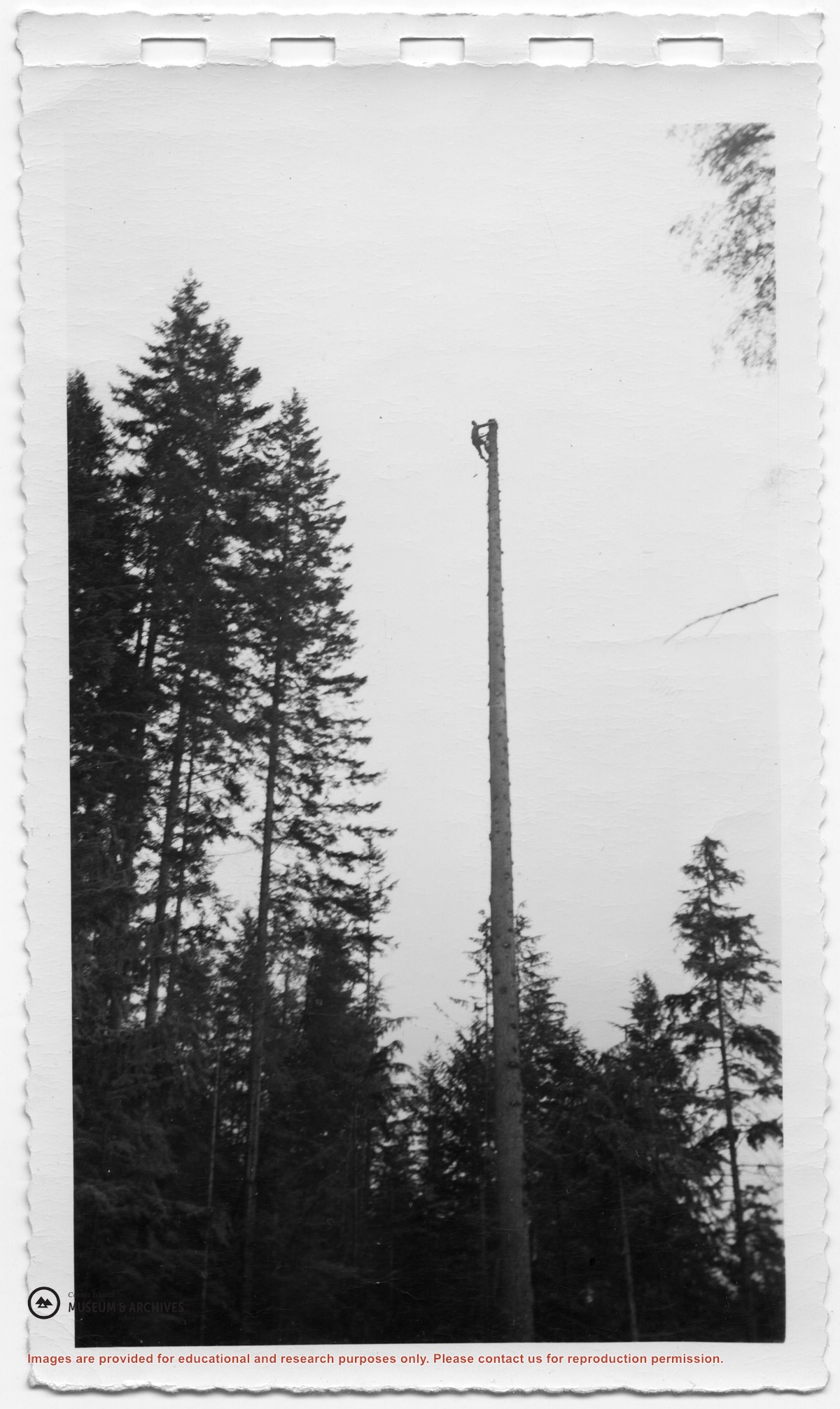
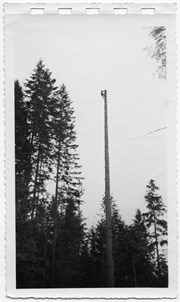
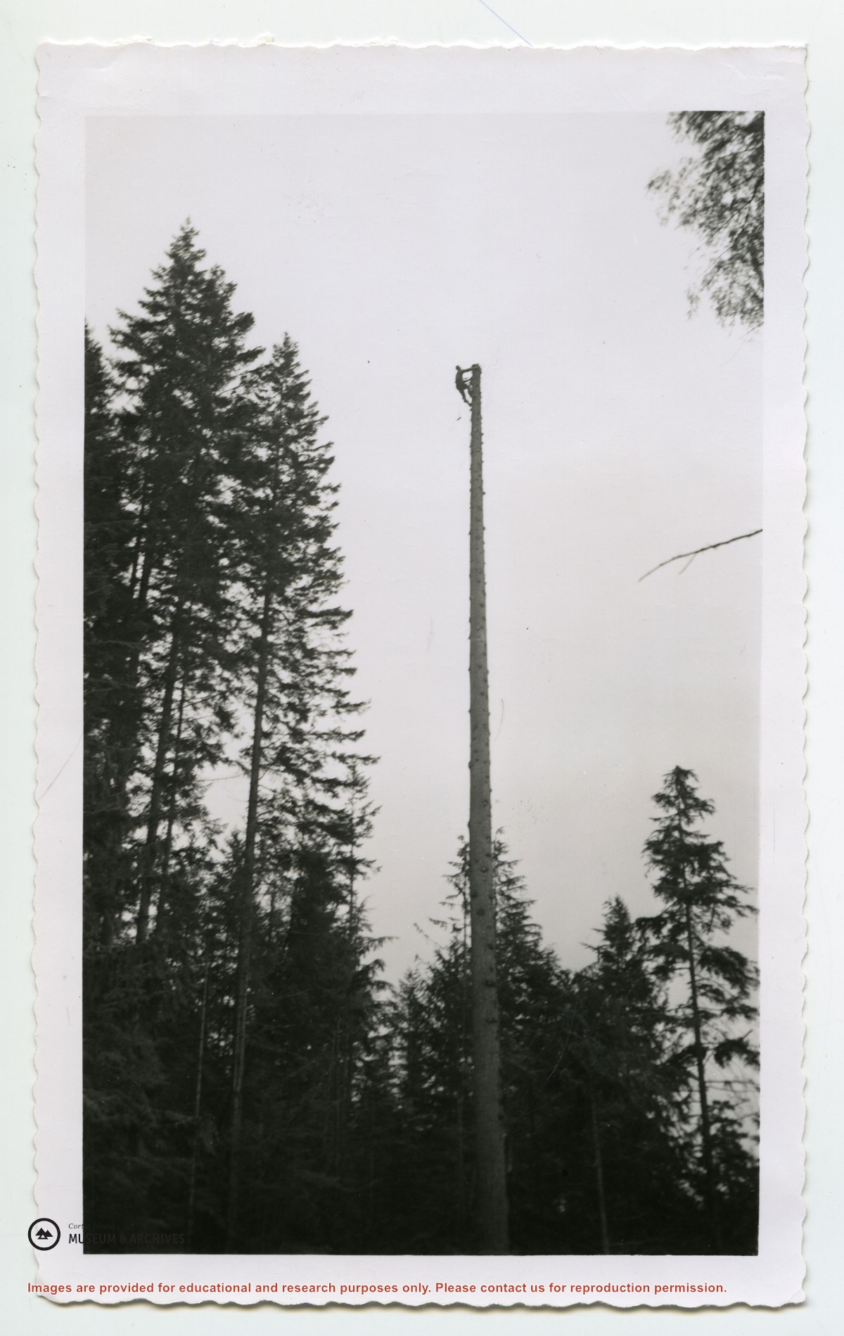
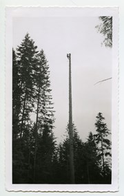
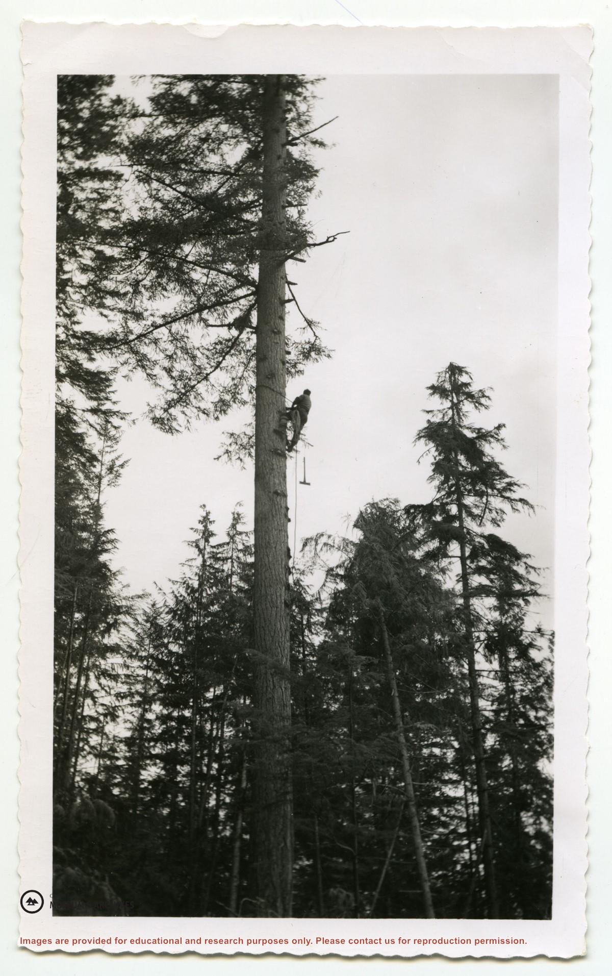
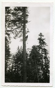
Series consists of photographs of Cortes Island people and places which were collected from various sources by Doreen Thompson during her work on Museum exhibits.
Series consists of photographs of Cortes Island people and places which were collected from various sources by Doreen Thompson during her work on Museum exhibits.
Series consists of correspondence from Theodore Von Donop to Jimmy Layton and information, photographs and ephemera relating to Victor Von Donop, after whom Von Donop Inlet was named. The two photographs that were part of this material (2003.002.393-Portrait of Victor Von Donop and 2003.002.394-Coat of arms of Von Donop family) are described in Series 1 and stored in the Photographs box with the other photographs in the Weiler fonds.)
Material was collected by Jimmy Layton, who had a homestead at the head of Von Donop Inlet; he gave it to Otto Weiler.
Scope and Content
Series consists of correspondence from Theodore Von Donop to Jimmy Layton and information, photographs and ephemera relating to Victor Von Donop, after whom Von Donop Inlet was named. The two photographs that were part of this material (2003.002.393-Portrait of Victor Von Donop and 2003.002.394-Coat of arms of Von Donop family) are described in Series 1 and stored in the Photographs box with the other photographs in the Weiler fonds.)