File contains a page of notes, and photocopies of a tax sale notice (1938) and list of properties forfeited for non-payment of taxes, Crown Grants and other title information for the following:
William Walter James: 1926, Crown Grant for NW 1/4 of Sec. 38; 156 acres for $1.00; forfeited to Crown in 1939
Tom Albinson: 1919, Crown Grant for Lot 867; forfeited in 1927
Sadie McMurray: 1917, NE 1/4 of Sec. 39; 160 acres for $160
Peter Police: 1925, fractional NW 1/4 of Sec. 39; 103 acres for $1.00
(Files 12 through 16 are from the same envelope.)
Series contains information on historic Crown Grants and subsequent title changes compiled by Doreen Thompson during her research for the CIMAS Windows on Whaletown exhibit in 1999. The area covered includes the northern part of Cortes Island, from just south of Gorge Harbour. Material includes maps, photocopies of original Crown Grants and other title documents, lists of subdivisions, and notes on changes of title.
Records were organized by Section or Plan number in large envelopes with a cover map and notes about the properties researched on the envelope back. They trace the ownership of parcels of land from the first grant or purchase from the Crown to 1999. Original order has been maintained.
File contains notes, photocopies of Crown Grants and subsequent title changes for:
William John Sheepwash: 1916, Crown Grant for fractional NE 1/4 of Sec. 45; 153 acres for $153
For Block A of District Lot 744:
-to Gwynn Henry Meredith: 1918, Crown Grant for 59 acres for $1
-to Alfred Edward Layton: 1970, Crown Grant for 59 acres for $460
William Carr Smith: 19??, Crown Grant for District Lot 1170 at Von Donop Creek Lagoon; 155 acres for $1.00
Royal Wells Borden: 1937, Crown Grant for NW 1/4 of Sec 38
(Files 12 through 16 are from the same envelope.)
File contains photocopies of original Crown Grants, subsequent title changes and maps for:
To Joseph Gregson: 1926, Crown Grant for fractional W 1/2 of Lot 899 and Lot 901 (between Coulter and Carrington Bays), with a water easement for Wailes
To John Nugent McIllree: 1957, Crown Grant of mineral rights to lots at Coulter Bay surveyed as the "Arrow" and "Bullseye" mineral claims
To Hilda Peterson: 1919, Crown Grant for Lot 878, Carrington Bay, 55 acres
(Files 12 through 16 are from the same envelope.)
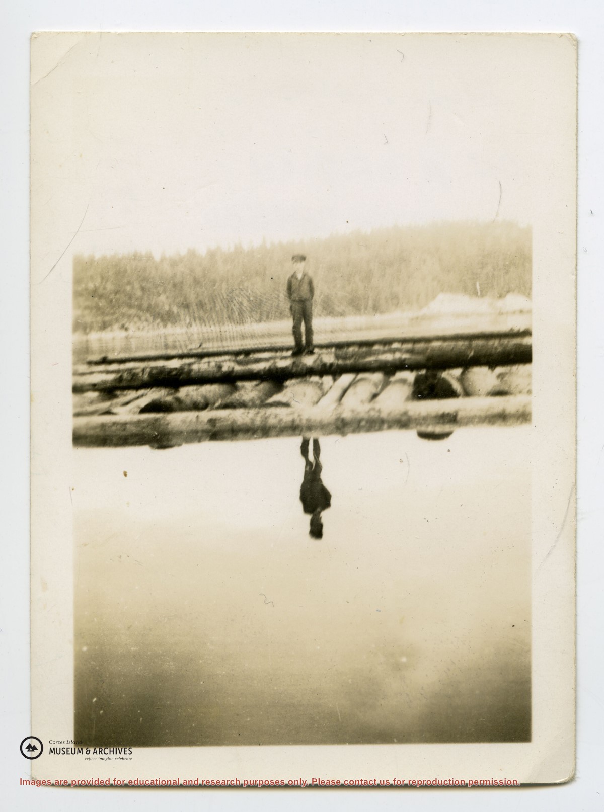
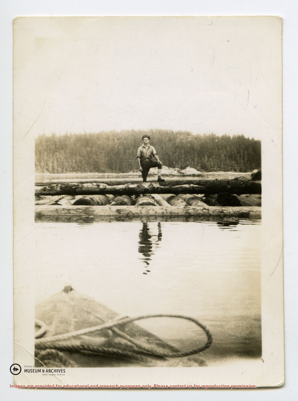
Historical info including Coast Salish placenames, ecosystems, early settlement, 1800s-early 1900s. Photocopies of historical photos with info: Hague Lake from Stuart Lambert collection, 1910; Hague Lake from Bert Froud collection, 1917; Mr. Hague in boat on Hague Lake from Mabel Christensen collection, 1930s; Gunflint Lake Ranch from Flo McKay collection, 1930s-1940s. Emails, clipping, and pamplet with info on Hague and Gunflint Lake algae blooms, FOCI, 2014. Postcards, undated
Historical info including Coast Salish placenames, ecosystems, early settlement, 1800s-early 1900s. Photocopies of historical photos with info: Hague Lake from Stuart Lambert collection, 1910; Hague Lake from Bert Froud collection, 1917; Mr. Hague in boat on Hague Lake from Mabel Christensen collection, 1930s; Gunflint Lake Ranch from Flo McKay collection, 1930s-1940s. Emails, clipping, and pamplet with info on Hague and Gunflint Lake algae blooms, FOCI, 2014. Postcards, undated