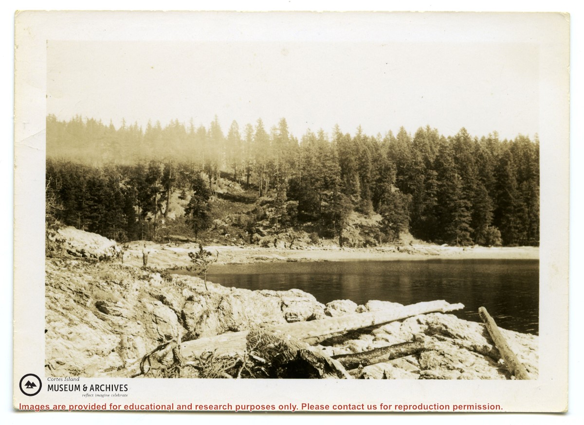
Writing, emails and excerpts with info on early homesteaders, early postmasters, the first post box in Cortes Bay, Frabjous Bay/Frabjous Day, The Columbia Coast Mission, and the Rendezvous. Map of lots with some names of early homesteaders near Cortes Bay. Old postcard of Cortes Bay
Writing, emails and excerpts with info on early homesteaders, early postmasters, the first post box in Cortes Bay, Frabjous Bay/Frabjous Day, The Columbia Coast Mission, and the Rendezvous. Map of lots with some names of early homesteaders near Cortes Bay. Old postcard of Cortes Bay
File contains photocopies of original Crown Grants, subsequent title changes and maps for:
To Joseph Gregson: 1926, Crown Grant for fractional W 1/2 of Lot 899 and Lot 901 (between Coulter and Carrington Bays), with a water easement for Wailes
To John Nugent McIllree: 1957, Crown Grant of mineral rights to lots at Coulter Bay surveyed as the "Arrow" and "Bullseye" mineral claims
To Hilda Peterson: 1919, Crown Grant for Lot 878, Carrington Bay, 55 acres
(Files 12 through 16 are from the same envelope.)
File contains a map key to the areas of Sections 17, 18, 19, 22 and 34 (south of Gorge Harbour) which were researched (Information in Files 3-7).
It contains photocopies of original land grants and subsequent conveyances for the following:
Reginald James Smith: 1946, Crown Grant 165414I for fractional SE 1/4 of Sec 23, 1946 (the Thunder Road subdivision at the eastern end of Gorge Harbour).
(Files 3 through 7 are from the same envelope.)
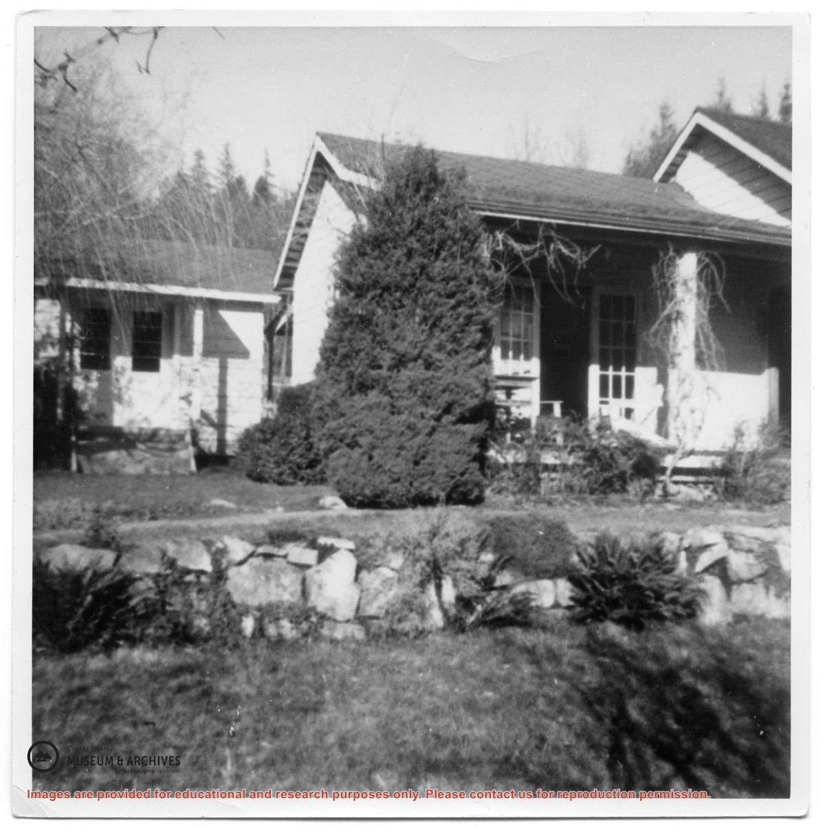
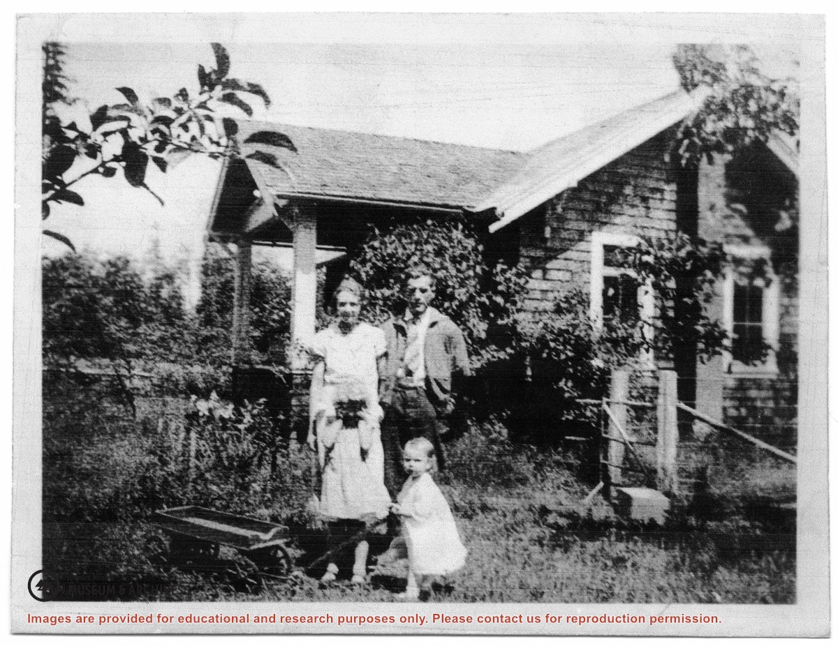
Binder contains interviews, stories and pictures from Etta (McKay) Byers, Bert and Penny Hansen, Peggy Pyner, Frank Hayes, Vida (Trousdale) Hodgson, Bob Milton, Lorne Musclow, and Elton Anderson.
It was created as part of the Memories of Manson's Landing Exhibit, curated and mounted by Doreen Thompson.
File contains a page of notes, and photocopies of a tax sale notice (1938) and list of properties forfeited for non-payment of taxes, Crown Grants and other title information for the following:
William Walter James: 1926, Crown Grant for NW 1/4 of Sec. 38; 156 acres for $1.00; forfeited to Crown in 1939
Tom Albinson: 1919, Crown Grant for Lot 867; forfeited in 1927
Sadie McMurray: 1917, NE 1/4 of Sec. 39; 160 acres for $160
Peter Police: 1925, fractional NW 1/4 of Sec. 39; 103 acres for $1.00
(Files 12 through 16 are from the same envelope.)