The base map is a zoning map produced by the Regional District of Comox-
Strathcona for the Cortes Island Land Use Project (Aug 1969). Edwards used
coloured pencil to show land and foreshore zones, and transferred information
about early preemptions and old roads and trails from an earlier map (see
Donald Palmer fonds, 2020.002.011, map of Cortes Island, Sayward District, ca.
1915).
DVD of footage shot by George Sirk of Jim Guthrie and his skidder (198-), and building a boat (1990).
Copyright George Sirk; to be used for display and research purposes only.
Copied from George Sirk's VHS tapes with his permission to use the contents for display and research purposes.
Scope and Content
DVD of footage shot by George Sirk of Jim Guthrie and his skidder (198-), and building a boat (1990).
Copyright George Sirk; to be used for display and research purposes only.
File contains zoning maps for Bylaw 41, Electoral Area I, Schedules A1-A7 with revisions to 1999. There is a map of the whole island and larger scale maps of island areas.
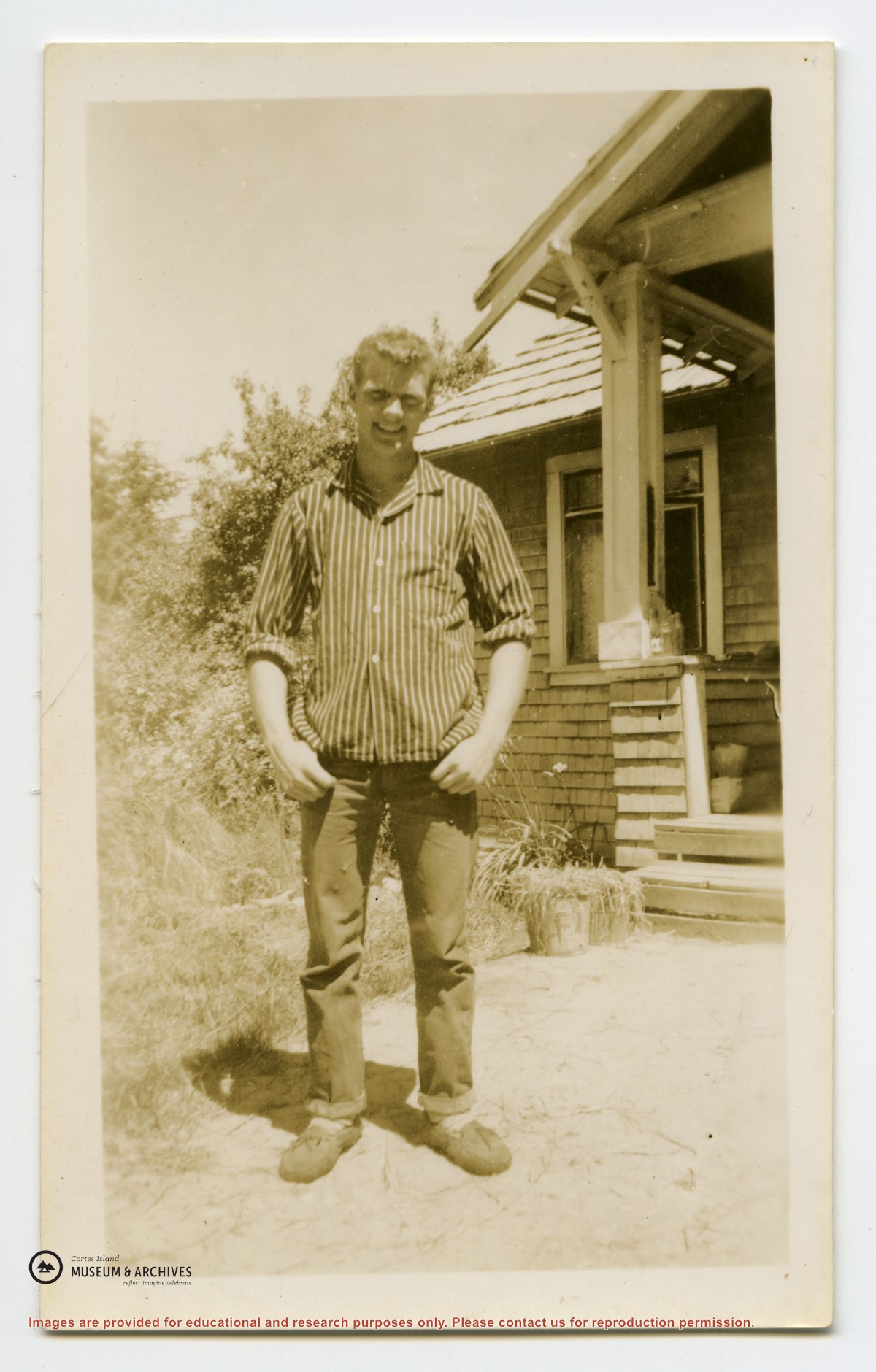
Binder contains a photocopy of a Province of BC bulletin on how to pre-empt land (1929), and a list of pre-emptions from the records in the BC Archives in Victoria.
Binder contains a photocopy of a Province of BC bulletin on how to pre-empt land (1929), and a list of pre-emptions from the records in the BC Archives in Victoria.
File contains a photocopied section map of the northern part of Cortes Island (from just south of Gorge Harbour), coloured to indicate areas for which a Crown Grant was located and areas of ungranted Crown land which still appear to be owned by the government. Scale is 1 mile to 1 inch.
File contains a photocopied section map of the northern part of Cortes Island (from just south of Gorge Harbour), coloured to indicate areas for which a Crown Grant was located and areas of ungranted Crown land which still appear to be owned by the government. Scale is 1 mile to 1 inch.