File consists of master pages of a fund-raising cookbook produced by the Whaletown Women's Institute. Typed recipes are pasted onto construction paper sheets; sheets are crumbling.
Complete copies of the cookbook may be found in the Whaletown Women's Institute fonds and the Island Women's Club fonds.
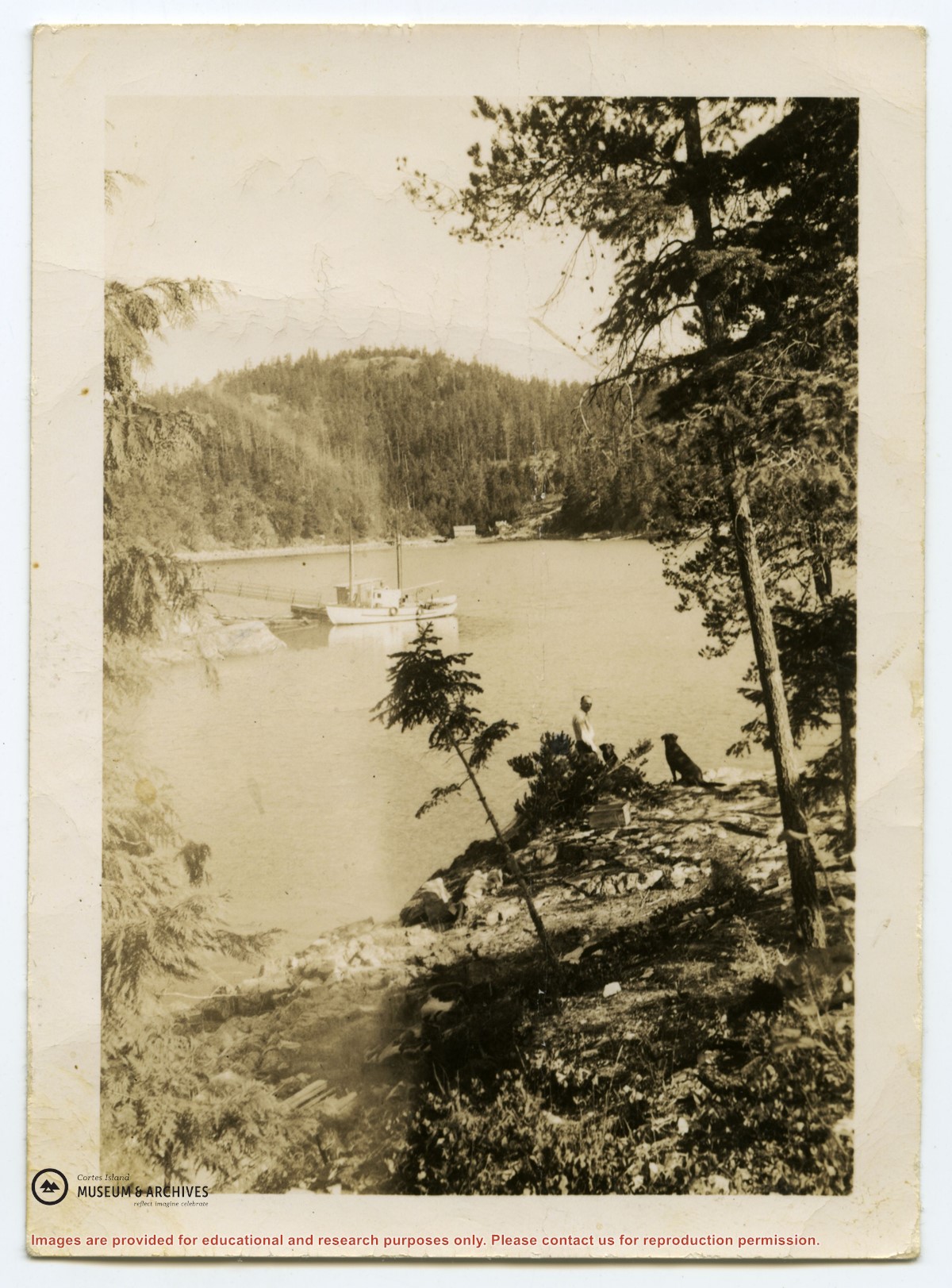
Photograph of a boat at a dock in Cortes Bay, taken from the south side of the bay. A person and two dogs are visible at right. Across the bay is the house of George and Marjorie Griffin, with their light-coloured workshop to the left. One of a group of photos from an envelope labeled "Mrs. Daniels, Seaford, for museum."
Was in envelope stating:
Mrs. Daniels for Museum
Seaford
from Nellie Jeffery?
Found in bookshelf by Lynne Jordan
Scope and Content
Photograph of a boat at a dock in Cortes Bay, taken from the south side of the bay. A person and two dogs are visible at right. Across the bay is the house of George and Marjorie Griffin, with their light-coloured workshop to the left. One of a group of photos from an envelope labeled "Mrs. Daniels, Seaford, for museum."
File contains an informational booklet created by the Friends of Cortes through a grant from Canada Works. Topics include island geography, social and natural history, place names and tourist education.
File contains an informational booklet created by the Friends of Cortes through a grant from Canada Works. Topics include island geography, social and natural history, place names and tourist education.
The base map is a zoning map produced by the Regional District of Comox-
Strathcona for the Cortes Island Land Use Project (Aug 1969). Edwards used
coloured pencil to show land and foreshore zones, and transferred information
about early preemptions and old roads and trails from an earlier map (see
Donald Palmer fonds, 2020.002.011, map of Cortes Island, Sayward District, ca.
1915).
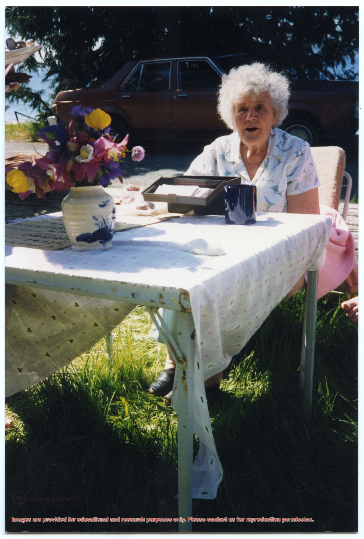
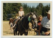
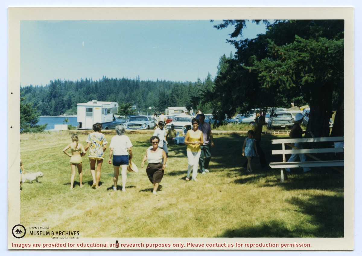
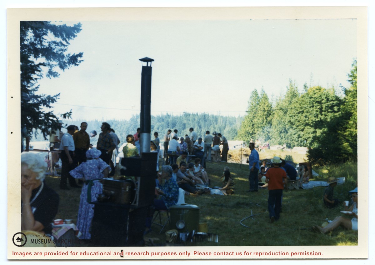
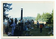
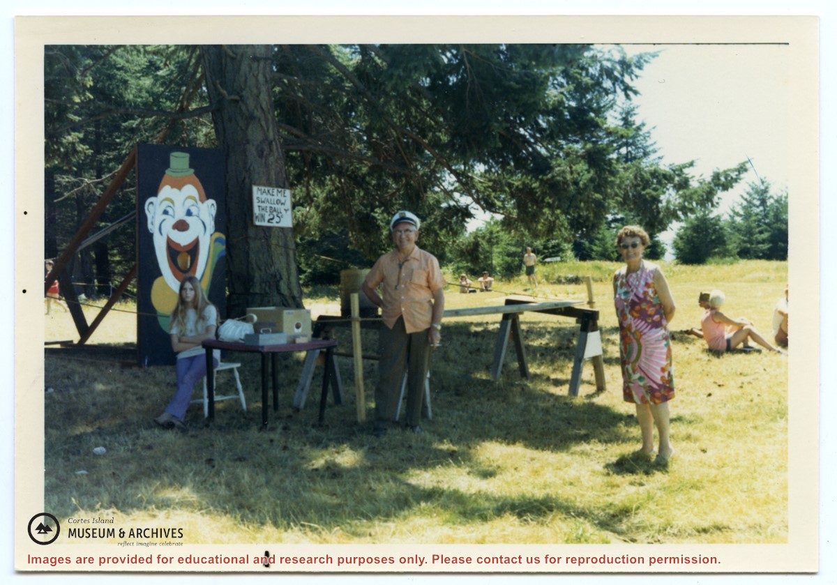
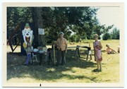
Photograph, taken at Smelt Bay on Cortes Island Day, of Bill Jenkins and Jean Jenkins (R) beside a booth with a sign that says "Make me swallow the ball". (check)
Photograph, taken at Smelt Bay on Cortes Island Day, of Bill Jenkins and Jean Jenkins (R) beside a booth with a sign that says "Make me swallow the ball". (check)