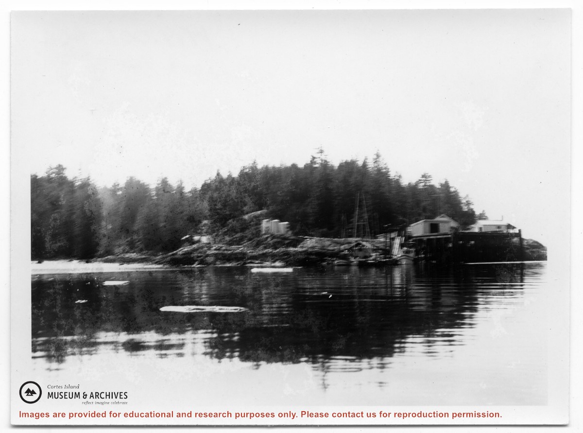
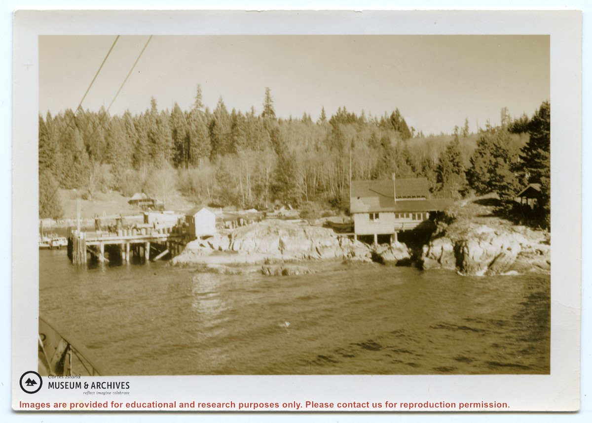
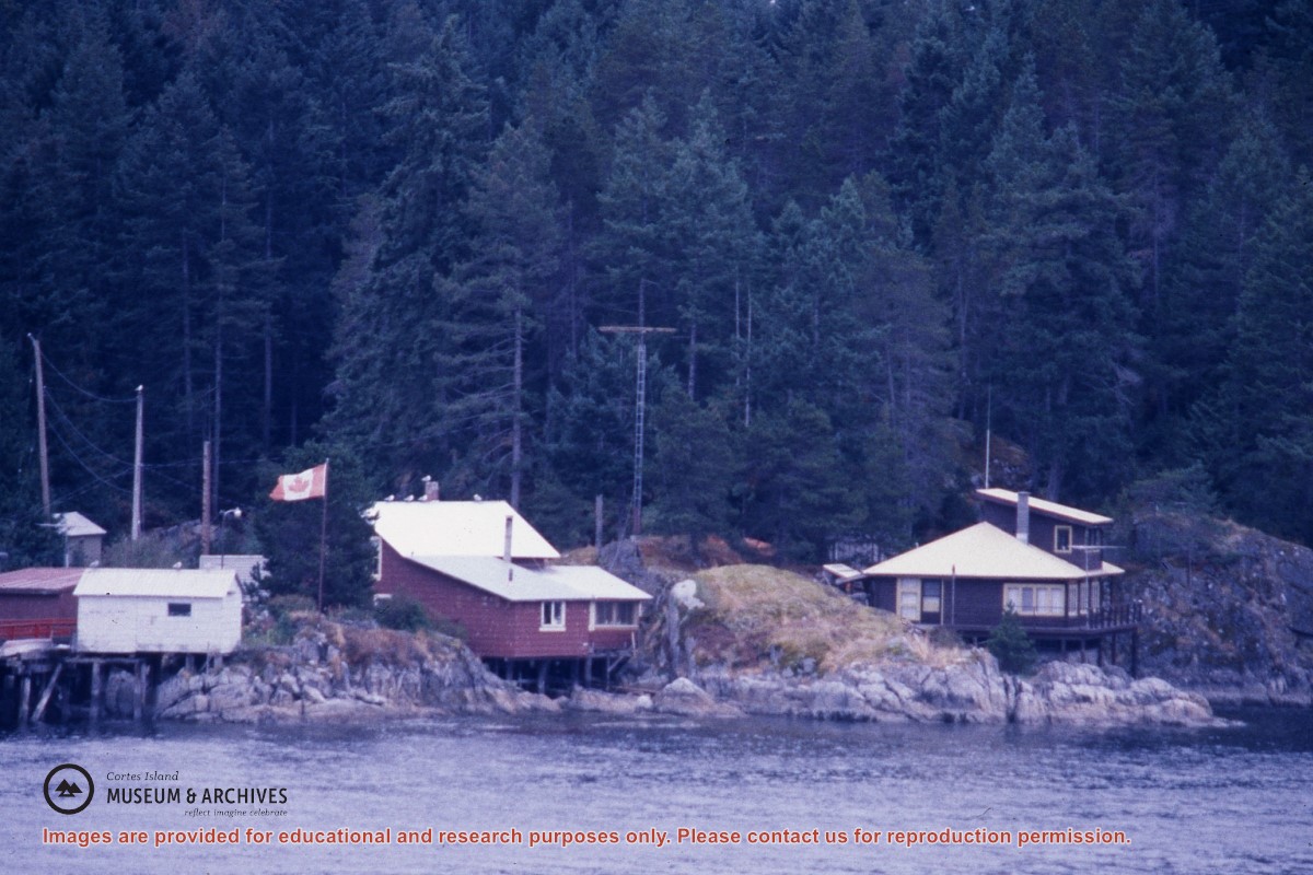
Photograph of Whaletown taken from the water, showing the wharf with the freight shed and fuel shed to its right; the store behind, and the fuel tanks on the rocks to the right.
Photograph of Whaletown taken from the water, showing the wharf with the freight shed and fuel shed to its right; the store behind, and the fuel tanks on the rocks to the right.
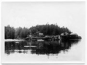
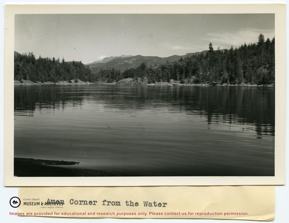
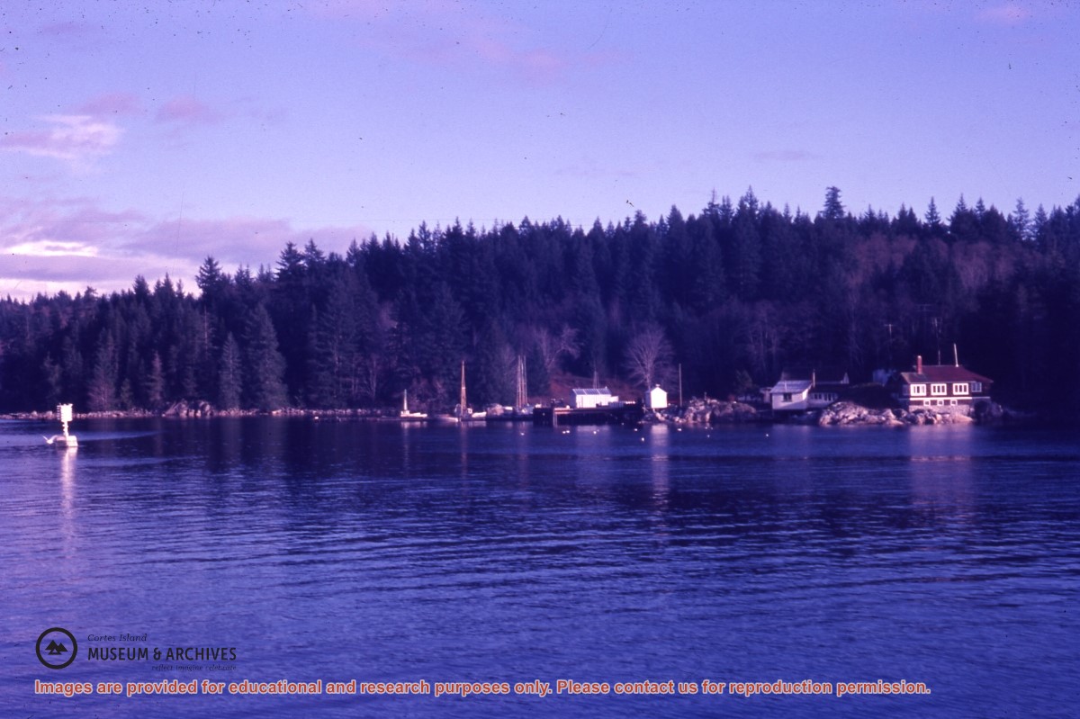
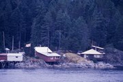
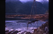
Photograph of Whaletown Bay taken from the water, showing the navigation marker at the entrance, and the houses to the left of the future site of the ferry landing.
Photograph of Whaletown Bay taken from the water, showing the navigation marker at the entrance, and the houses to the left of the future site of the ferry landing.
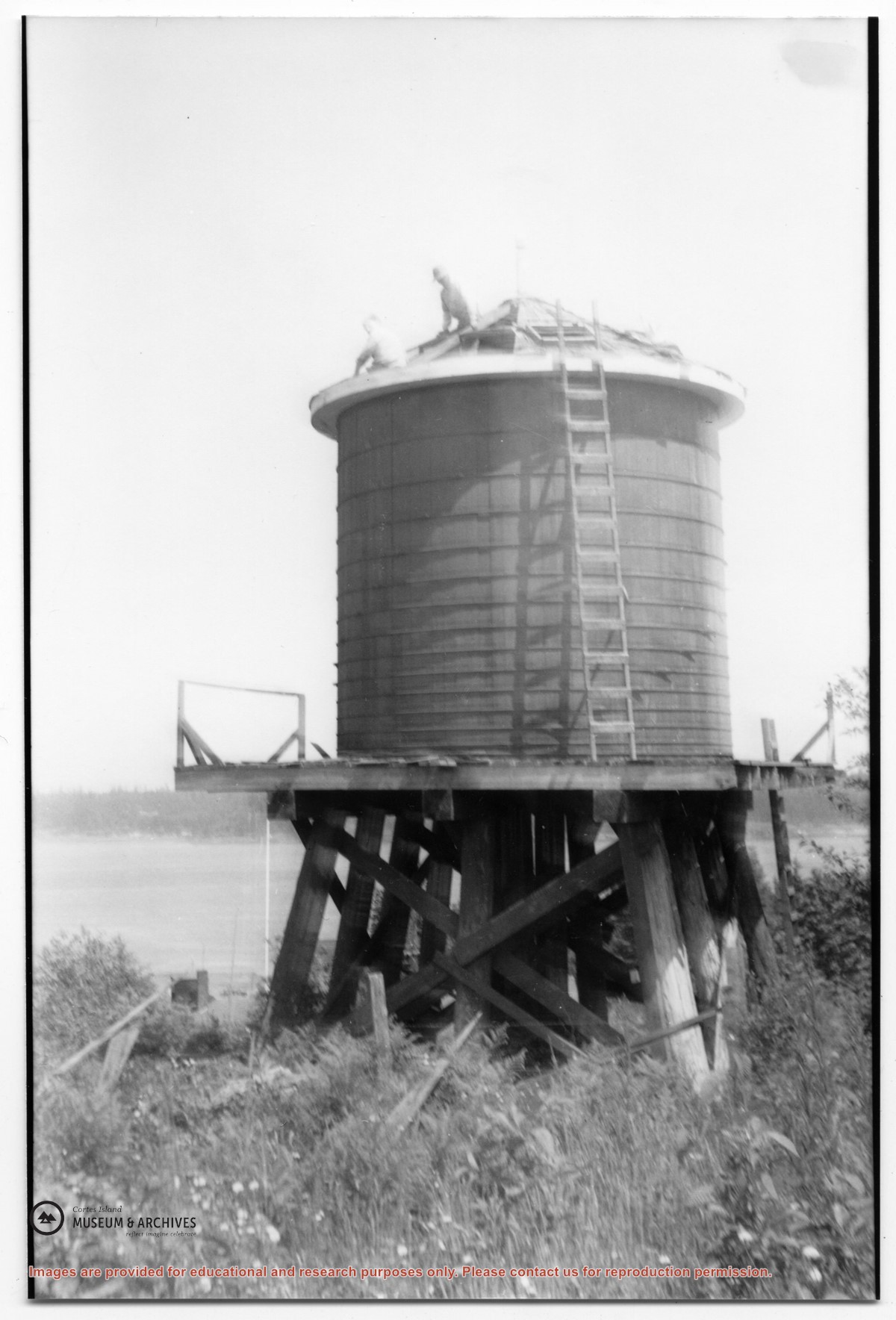
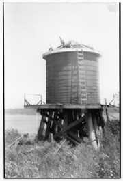
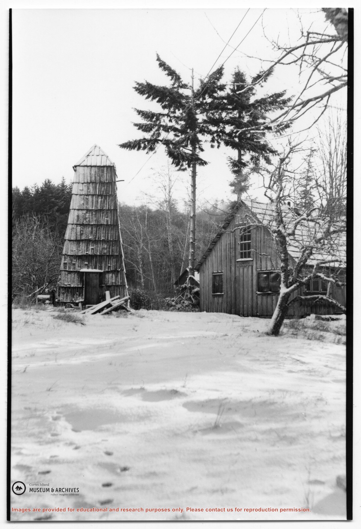
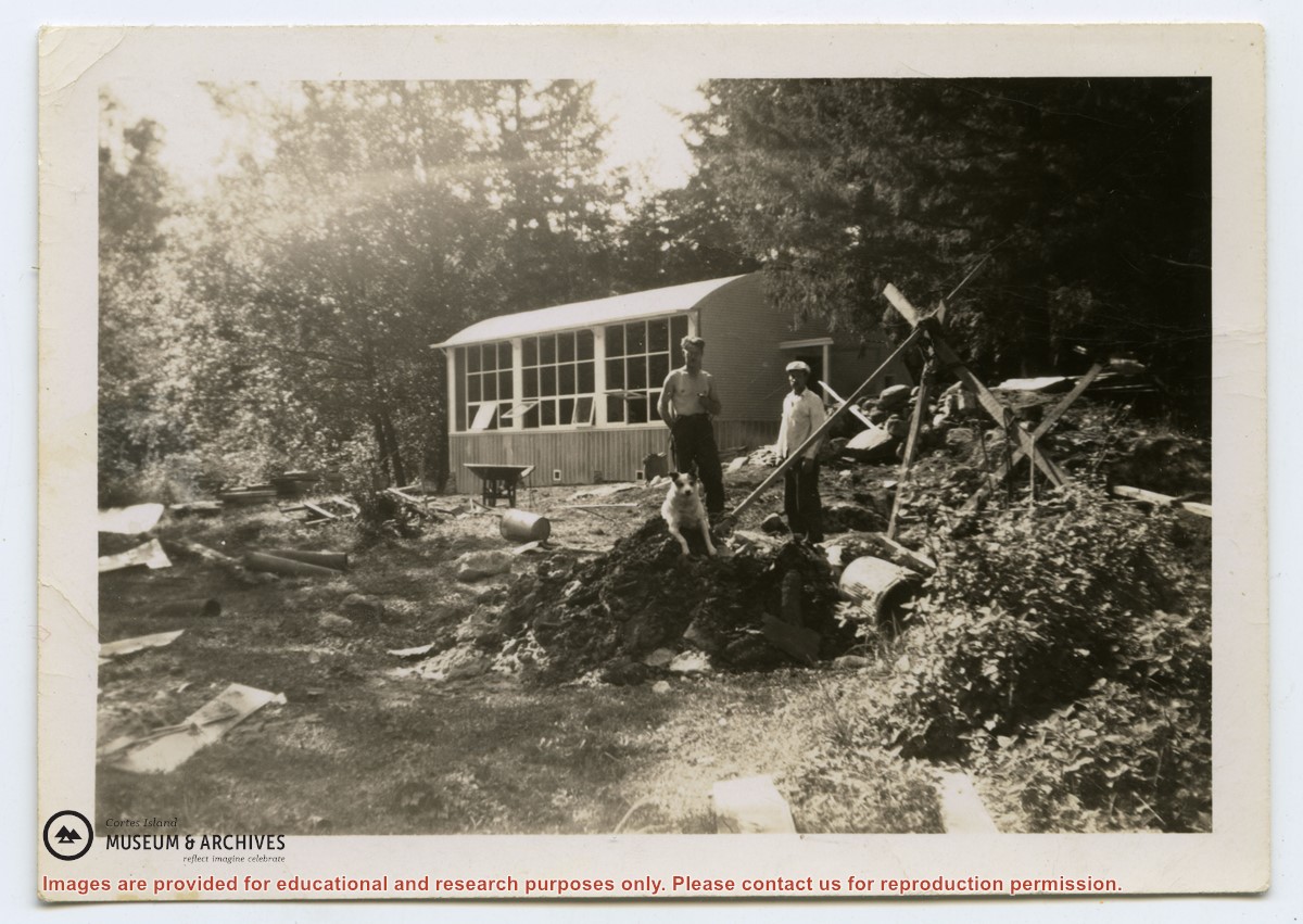
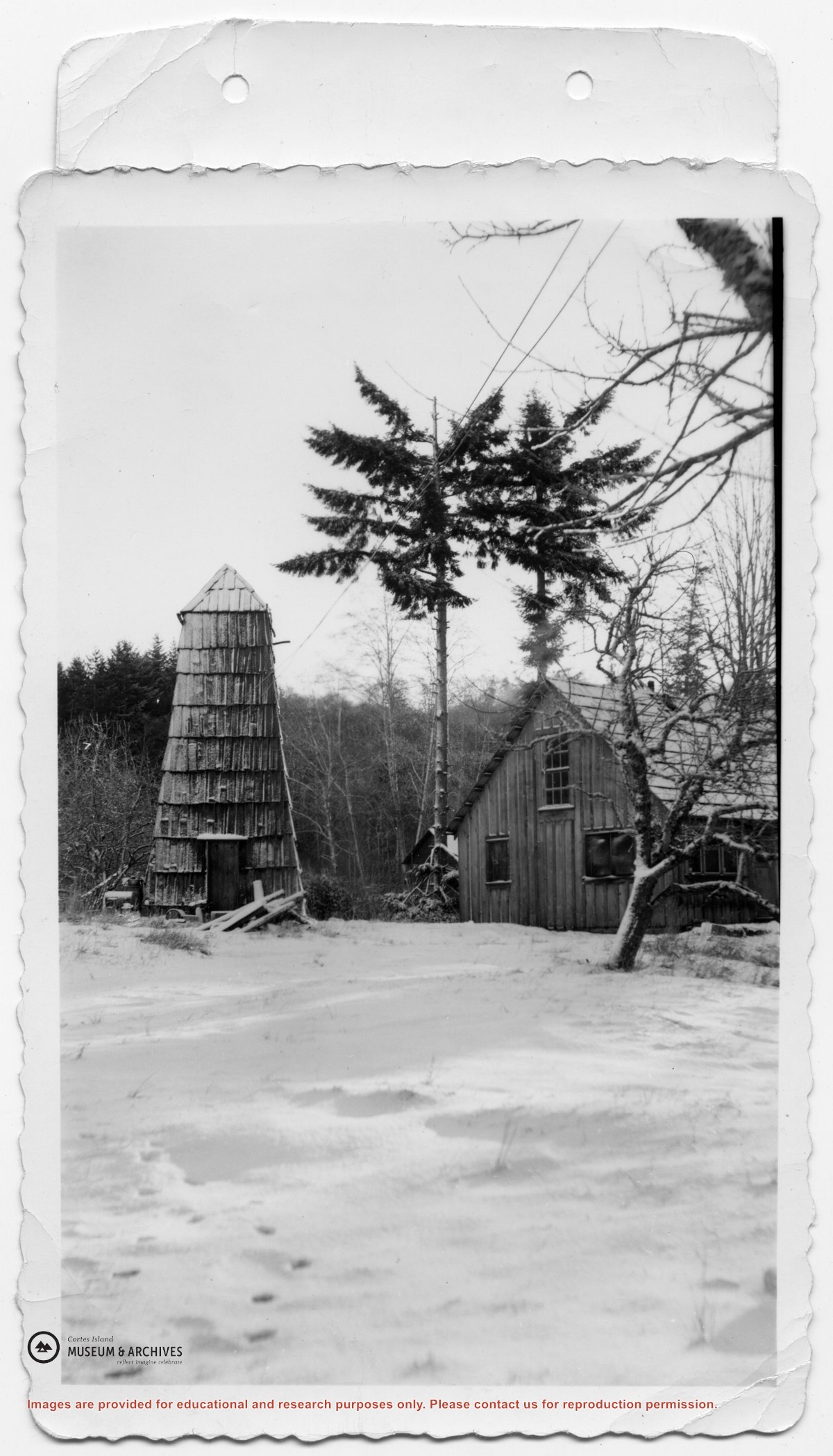
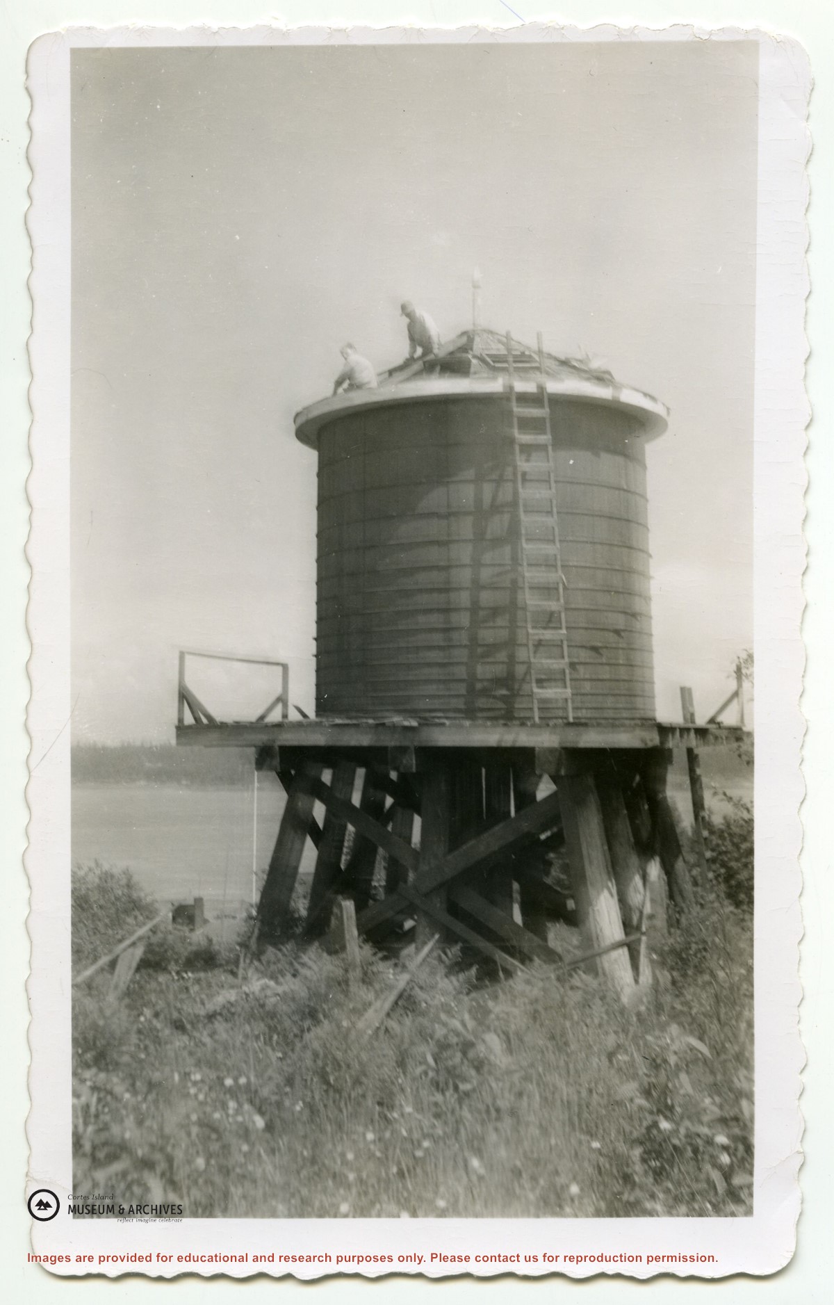
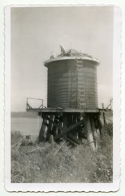
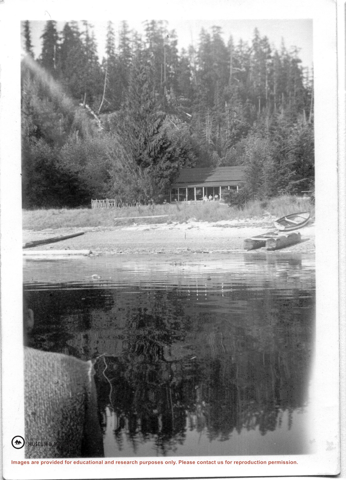
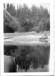
Photograph of the house beside the creek at the Robertson homestead in Whaletown, "Burnside". To the left is a tall round shingled water tower. (Same as #2003.002.471)
Photograph of the house beside the creek at the Robertson homestead in Whaletown, "Burnside". To the left is a tall round shingled water tower. (Same as #2003.002.471)
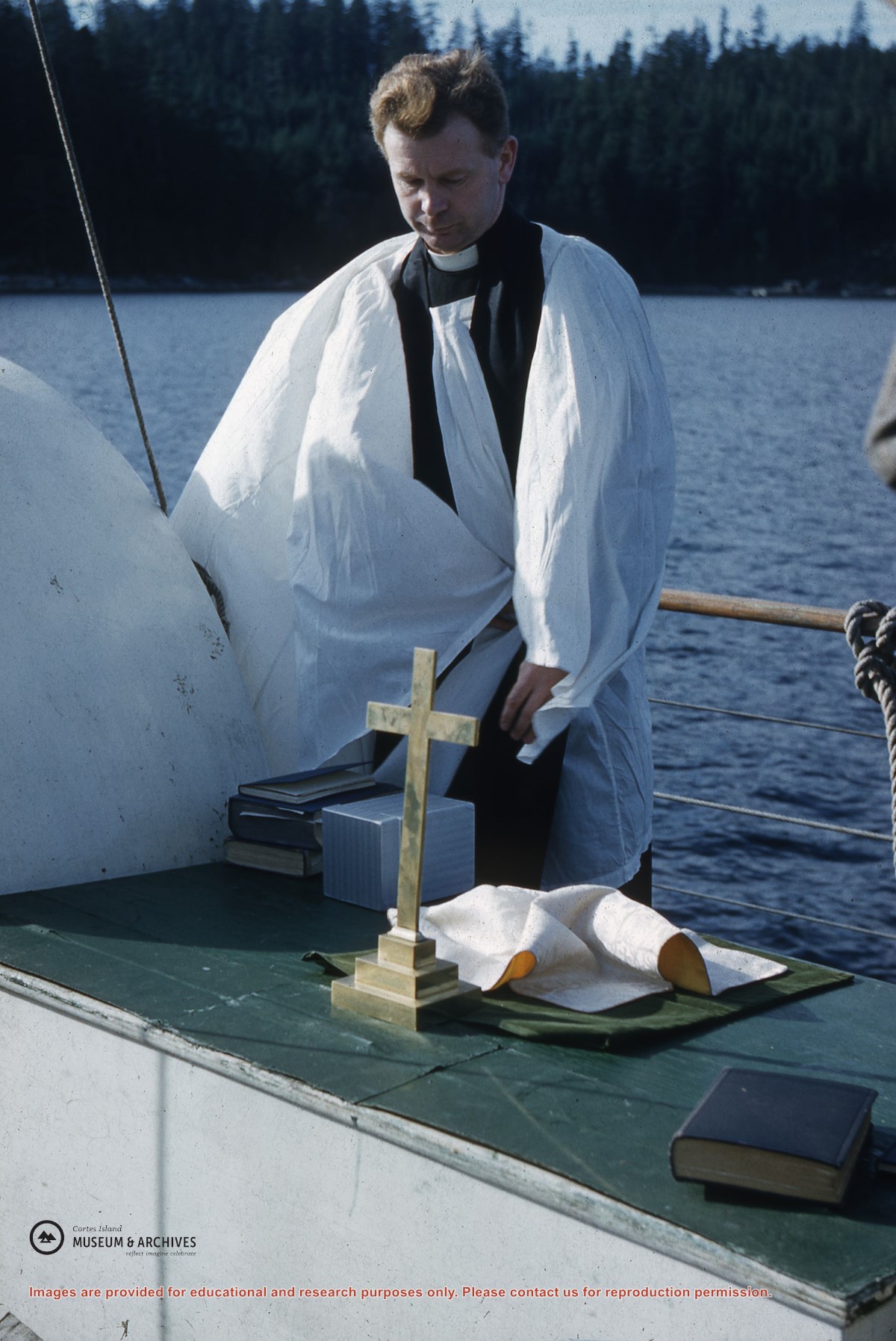
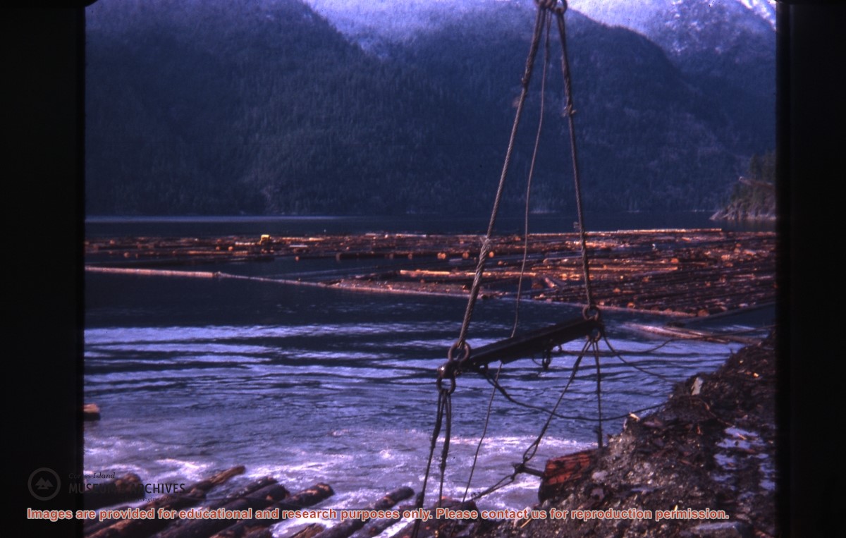
Part of a series of photographs taken by Don Maclean at a logging camp at the Quatam River in Ramsey Arm, BC. The camp was likely one of the stops on his patrol for the Columbia Coast Mission.
Slides were taken by Don Maclean and donated by Janice Kerr Maclean, Sept. 9, 2021.
Scope and Content
Part of a series of photographs taken by Don Maclean at a logging camp at the Quatam River in Ramsey Arm, BC. The camp was likely one of the stops on his patrol for the Columbia Coast Mission.