File contains correspondence, species inventories of Cortes Island parks, financial information, a report by Fred and Ruth Zwickel on Manson's Spit which includes photographs of erosion (2000), and one clipping.
File contains correspondence, species inventories of Cortes Island parks, financial information, a report by Fred and Ruth Zwickel on Manson's Spit which includes photographs of erosion (2000), and one clipping.
File contains a report by Fred and Ruth Zwickel ("Fauna and Flora Associated with Manson's Lagoon", with photographs); correspondence about water quality in Hague Lake and aquaculture in park boundaries; a Memorandum of Understanding with Klahoose re a marine park in Von Donop Inlet.
File contains a report by Fred and Ruth Zwickel ("Fauna and Flora Associated with Manson's Lagoon", with photographs); correspondence about water quality in Hague Lake and aquaculture in park boundaries; a Memorandum of Understanding with Klahoose re a marine park in Von Donop Inlet.
File contains photocopies of original Crown Grants, subsequent title changes and maps for:
To Joseph Gregson: 1926, Crown Grant for fractional W 1/2 of Lot 899 and Lot 901 (between Coulter and Carrington Bays), with a water easement for Wailes
To John Nugent McIllree: 1957, Crown Grant of mineral rights to lots at Coulter Bay surveyed as the "Arrow" and "Bullseye" mineral claims
To Hilda Peterson: 1919, Crown Grant for Lot 878, Carrington Bay, 55 acres
(Files 12 through 16 are from the same envelope.)
File contains a page of notes, and photocopies of a tax sale notice (1938) and list of properties forfeited for non-payment of taxes, Crown Grants and other title information for the following:
William Walter James: 1926, Crown Grant for NW 1/4 of Sec. 38; 156 acres for $1.00; forfeited to Crown in 1939
Tom Albinson: 1919, Crown Grant for Lot 867; forfeited in 1927
Sadie McMurray: 1917, NE 1/4 of Sec. 39; 160 acres for $160
Peter Police: 1925, fractional NW 1/4 of Sec. 39; 103 acres for $1.00
(Files 12 through 16 are from the same envelope.)
File contains a key map which was pasted on the front of the envelope indicating the areas researched for Files 12-16; notes on the titles; photocopies of Crown Grants and subsequent title information for:
BC Buildings Corp: 1982, Crown Grant for Block A of SW 1/4 of Sec. 25 (Highways Maintenance Yard)
District Lot 871 (40 acres between Carrington and Coulter Bays): to James Frederick McManus, 1919
To Ernest Henry Vaughn: 1922, Crown Grant for NE 1/4 and NW 1/4 of NE 1/4 of Sec. 24; SE 1/4 of SW 1/4 and SW 1/4 of SE 1/4 of Sec 31
Herbert Proctor: 1928 for fractional SW 1/4 of Sec. 41, bordering Tork Reserve; 159 acres for $159.00 (orig. Crown Grant to Herbert Proctor in 1922)
To William Cowan: 1937, E 1/2 of SE 1/4 of Sec. 26, 89 acres
(Files 12 through 16 are from the same envelope.)
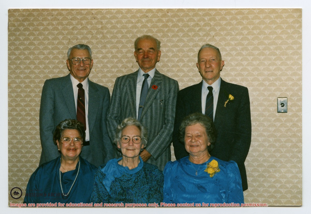
Series consists of correspondence from Theodore Von Donop to Jimmy Layton and information, photographs and ephemera relating to Victor Von Donop, after whom Von Donop Inlet was named. The two photographs that were part of this material (2003.002.393-Portrait of Victor Von Donop and 2003.002.394-Coat of arms of Von Donop family) are described in Series 1 and stored in the Photographs box with the other photographs in the Weiler fonds.)
Material was collected by Jimmy Layton, who had a homestead at the head of Von Donop Inlet; he gave it to Otto Weiler.
Scope and Content
Series consists of correspondence from Theodore Von Donop to Jimmy Layton and information, photographs and ephemera relating to Victor Von Donop, after whom Von Donop Inlet was named. The two photographs that were part of this material (2003.002.393-Portrait of Victor Von Donop and 2003.002.394-Coat of arms of Von Donop family) are described in Series 1 and stored in the Photographs box with the other photographs in the Weiler fonds.)
File contains hand-written notes on the history of different areas of Von Donop, a map of Cortes Island (1963), and a photocopy of a page from "British Columbia Place Names" about the inlet.
File contains hand-written notes on the history of different areas of Von Donop, a map of Cortes Island (1963), and a photocopy of a page from "British Columbia Place Names" about the inlet.
L to R: Kiyoshi Kosky, Justin Stirn, Mike ?, John Shook
Part of a series of 8 photographs which document a clean-up at the proposed Carrington Bay Park site. The squatters' cabin was built in the 1970s, on the east side of Carrington Bay.
L to R: Kiyoshi Kosky, Justin Stirn, Mike ?, John Shook
Part of a series of 8 photographs which document a clean-up at the proposed Carrington Bay Park site. The squatters' cabin was built in the 1970s, on the east side of Carrington Bay.
L to R: John Shook, Justin Stirn, Pierre DeTrey, Kiyoshi Kosky, Cedar DeTrey
Part of a series of 8 photographs which document a clean-up at the proposed Carrington Bay Park site. The squatters' cabin was built in the 1970s, on the east side of Carrington Bay.
L to R: John Shook, Justin Stirn, Pierre DeTrey, Kiyoshi Kosky, Cedar DeTrey
Part of a series of 8 photographs which document a clean-up at the proposed Carrington Bay Park site. The squatters' cabin was built in the 1970s, on the east side of Carrington Bay.


.jpg?width=1200&404=no-img.jpg&watermark=wmk)
.jpg?width=1200&404=no-img.jpg&watermark=wmk)
.jpg?width=180&404=no-img.jpg)