Series consists of materials relating to the Cortes Island Official Community Plan (OCP) and the Zoning Bylaw. It includes copies of the first and second Official Community Plans (1979 and 1995) and the first and second Zoning Bylaws (1970 and 2002). There are materials from an OCP revision (1992 -1995) and a Zoning Bylaw revision (ca. 1998-2003) including annotated draft copies, detailed APC commentary, correspondence, background materials and minutes of public meetings; Plan Maps and maps of Cortes properties.
?? cm of textual records; 4 cerlox-bound map books
Scope and Content
Series consists of materials relating to the Cortes Island Official Community Plan (OCP) and the Zoning Bylaw. It includes copies of the first and second Official Community Plans (1979 and 1995) and the first and second Zoning Bylaws (1970 and 2002). There are materials from an OCP revision (1992 -1995) and a Zoning Bylaw revision (ca. 1998-2003) including annotated draft copies, detailed APC commentary, correspondence, background materials and minutes of public meetings; Plan Maps and maps of Cortes properties.
File contains a copy of the bylaw and map of 1995, a summary of the changes (meant to reconcile 25 year gap between the previous zoning bylaws and the current OCP), and a completion and adoption strategy.
File contains a copy of the bylaw and map of 1995, a summary of the changes (meant to reconcile 25 year gap between the previous zoning bylaws and the current OCP), and a completion and adoption strategy.
File contains zoning maps for Bylaw 41, Electoral Area I, Schedules A1-A7 with revisions to 1999. There is a map of the whole island and larger scale maps of island areas.
File contains correspondence re Aquaculture bylaw #2300, a draft Cortes Island zoning bylaw (2001), and a map, the Official Community Plan Map Schedule A, 1993 and Bylaw 1896 to amend the OCP if 1995.
File contains correspondence re Aquaculture bylaw #2300, a draft Cortes Island zoning bylaw (2001), and a map, the Official Community Plan Map Schedule A, 1993 and Bylaw 1896 to amend the OCP if 1995.
File contains material relating to a proposed subdivision by Elmer Ellingsen, Plan 23367, including a map with buyers pencilled in (60 x 51 cm - from Acc. #2019.019).
File contains material relating to a proposed subdivision by Elmer Ellingsen, Plan 23367, including a map with buyers pencilled in (60 x 51 cm - from Acc. #2019.019).
Series contains information on historic Crown Grants and subsequent title changes compiled by Doreen Thompson during her research for the CIMAS Windows on Whaletown exhibit in 1999. The area covered includes the northern part of Cortes Island, from just south of Gorge Harbour. Material includes maps, photocopies of original Crown Grants and other title documents, lists of subdivisions, and notes on changes of title.
Records were organized by Section or Plan number in large envelopes with a cover map and notes about the properties researched on the envelope back. They trace the ownership of parcels of land from the first grant or purchase from the Crown to 1999. Original order has been maintained.
Series consists of a hand drawn map of Cortes Island showing places of interest to visitors, maps showing the location of hydro distribution lines on Cortes Island, maps related to zoning and rezoning on Cortes Island, the Official Settlement Plan, and a drawing showing an engineering plan for the Whaletown ferry terminal.
Series consists of a hand drawn map of Cortes Island showing places of interest to visitors, maps showing the location of hydro distribution lines on Cortes Island, maps related to zoning and rezoning on Cortes Island, the Official Settlement Plan, and a drawing showing an engineering plan for the Whaletown ferry terminal.
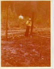
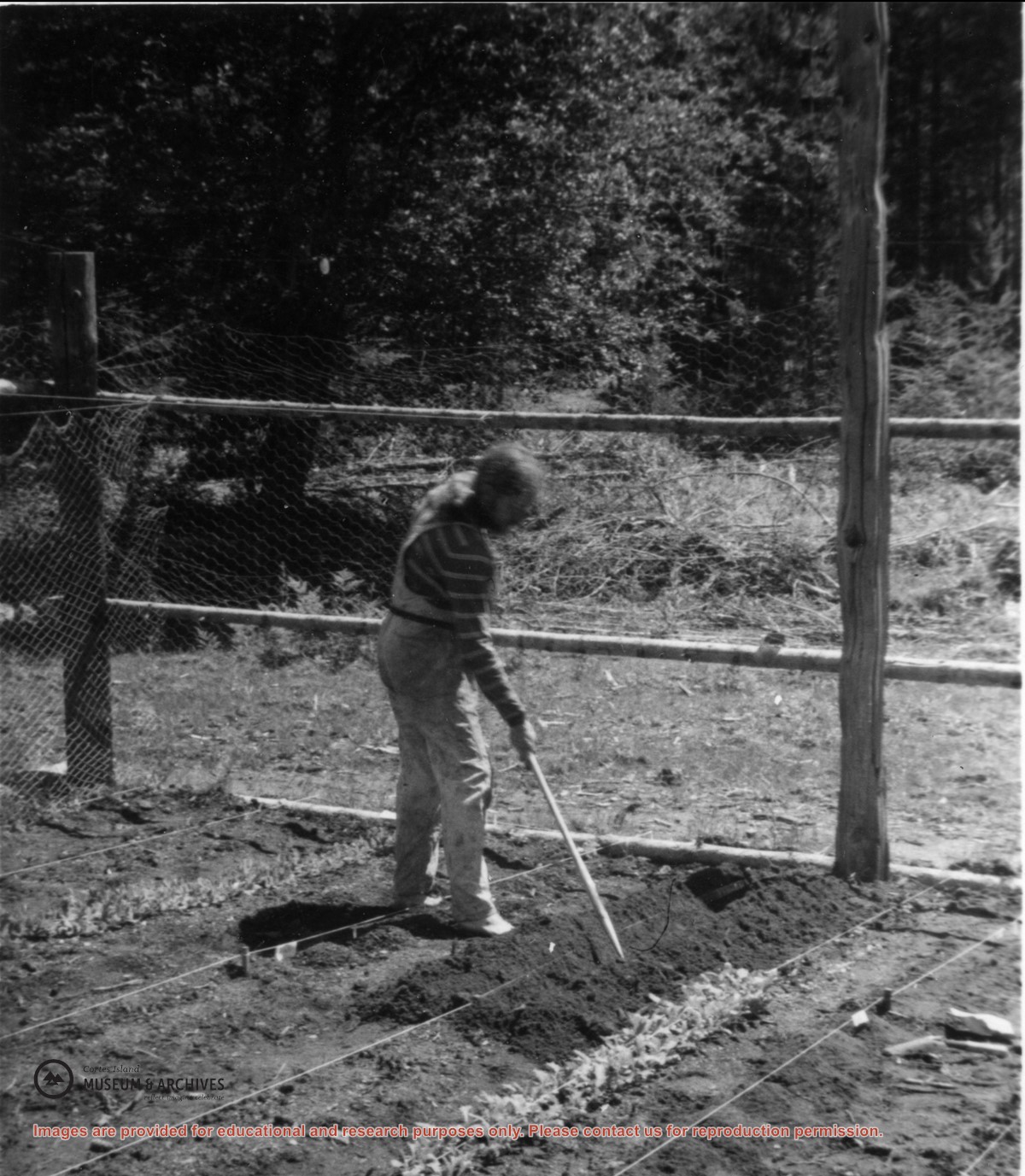
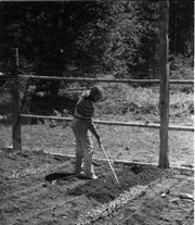
Photograph of Michael Gibbons, taken beside Alice's house at the end of the board walk at Refuge Cove. Alice was the cook at the Hope's logging camp and stayed on after the camp closed.
Photograph of Michael Gibbons, taken beside Alice's house at the end of the board walk at Refuge Cove. Alice was the cook at the Hope's logging camp and stayed on after the camp closed.
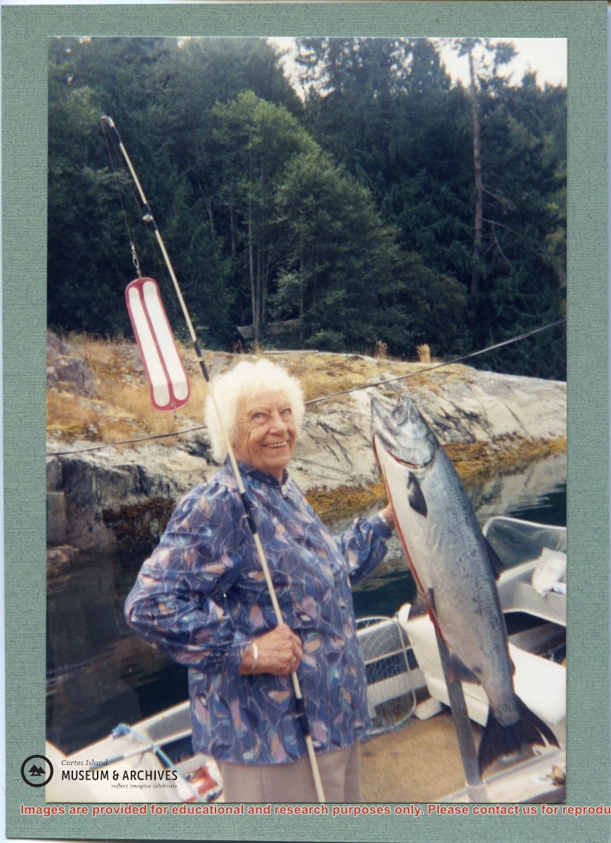
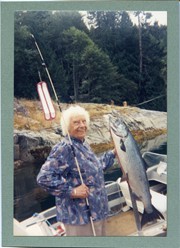
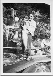
Norm Gibbons holding a salmon caught while fishing with Bud Jarvis. Bud Jarvis married Rene Hope's daughter Joan and they were at Refuge Cove for their honeymoon.
Norm Gibbons holding a salmon caught while fishing with Bud Jarvis. Bud Jarvis married Rene Hope's daughter Joan and they were at Refuge Cove for their honeymoon.
Doris Hope provided a fish and chips dinner for the Refuge Cove community every Friday, cooking on two large propane burners set up on the back porch of her house,
Doris Hope provided a fish and chips dinner for the Refuge Cove community every Friday, cooking on two large propane burners set up on the back porch of her house,