File contains a page of notes, and photocopies of a tax sale notice (1938) and list of properties forfeited for non-payment of taxes, Crown Grants and other title information for the following:
William Walter James: 1926, Crown Grant for NW 1/4 of Sec. 38; 156 acres for $1.00; forfeited to Crown in 1939
Tom Albinson: 1919, Crown Grant for Lot 867; forfeited in 1927
Sadie McMurray: 1917, NE 1/4 of Sec. 39; 160 acres for $160
Peter Police: 1925, fractional NW 1/4 of Sec. 39; 103 acres for $1.00
(Files 12 through 16 are from the same envelope.)
File contains minutes, agendas and other material relating to meetings of the Klahoose Table, attended by members of CILAC, Klahoose First Nations and government negotiators. It includes material relating to a proposed park at Carrington Bay.
File contains minutes, agendas and other material relating to meetings of the Klahoose Table, attended by members of CILAC, Klahoose First Nations and government negotiators. It includes material relating to a proposed park at Carrington Bay.
Series consists of records relating to logging on Cortes Island. It includes correspondence, account sheets, Forest Service scale sheets, timber sale maps of Von Donop Creek and Carrington Bay, and copies of Forestry regulations.
Series consists of records relating to logging on Cortes Island. It includes correspondence, account sheets, Forest Service scale sheets, timber sale maps of Von Donop Creek and Carrington Bay, and copies of Forestry regulations.
File consists of records relating to logging done by Freeman and Mathews on crown land near Carrington Bay. It contains account sheets of the log buyer, Forestry scale sheets, statements of expense and maps of the area of logging.
File consists of records relating to logging done by Freeman and Mathews on crown land near Carrington Bay. It contains account sheets of the log buyer, Forestry scale sheets, statements of expense and maps of the area of logging.
This is the continuation (Part 3) of an interview of Etta and Clarence Byers by Oonagh O'Connor. Clarence talks about his family history; moving to Cortes Island, logging on Cortes in the Von Donop/Blue Jay Lake/Carrington Bay area; road-building; and the arrival of Japanese oysters to Cortes beaches in ca. 1938. There is a short summary of the interview, written by May Ellingsen, in the cassette case.
This is the continuation (Part 3) of an interview of Etta and Clarence Byers by Oonagh O'Connor. Clarence talks about his family history; moving to Cortes Island, logging on Cortes in the Von Donop/Blue Jay Lake/Carrington Bay area; road-building; and the arrival of Japanese oysters to Cortes beaches in ca. 1938. There is a short summary of the interview, written by May Ellingsen, in the cassette case.
File contains information for the following properties:
E. H. Vaughn: 1893, Crown Grant for fractional N 1/2 of Sec. 22; 90 acres for $90.00.
James P. Allen: 1913, Crown Grant for NW 34 acres of Sec. 23; $170.00
Bernard Robinson Allen: 1919, Crown Grant for SW 1/4 of Sec. 23, 159 acres
Charles Allen: 1912, Crown Grant for SW 1/4 of Sec. 33; 160 acres for $160.00
Harold Marshall Wood: Crown Grant for E 1/2 of NE 1/4 of Sec. 46 (east of Carrington Bay); 81 acres for $1.00.
File contains the following maps, stored in the Map Cabinet:
Subdivision Plan of parcel C & E, NW 1/4 of Sec. 21, 1976
Subdivision of the fractional NE 1/4 of Sec 21, 1966; with names of property owners penciled in
Subdivision Plan of Parcel C and part of Parcel E of fractional NE 1/4 of Sec. 21, 1975
Subdivision Plan of fractional NE 1/4 of Sec. 21 and W 1/2 of SW 1/4 of Sec. 34
(Files 17 through 19 are from the same envelope.)
Fonds consists of ten diaries kept by James Layton, covering the years 1948-1981, and a Time Book. (Years 1967-1971 are missing.) Layton made brief daily entries in the diaries, noting the weather, activities, social interactions and, occasionally, notable external events. Typical activities included logging, fishing, working on an oyster lease, digging clams, gardening, visiting, reading and writing letters. Times of planting and harvesting the garden, sightings of wildlife, and names of people living nearby or visiting on boats are recorded.
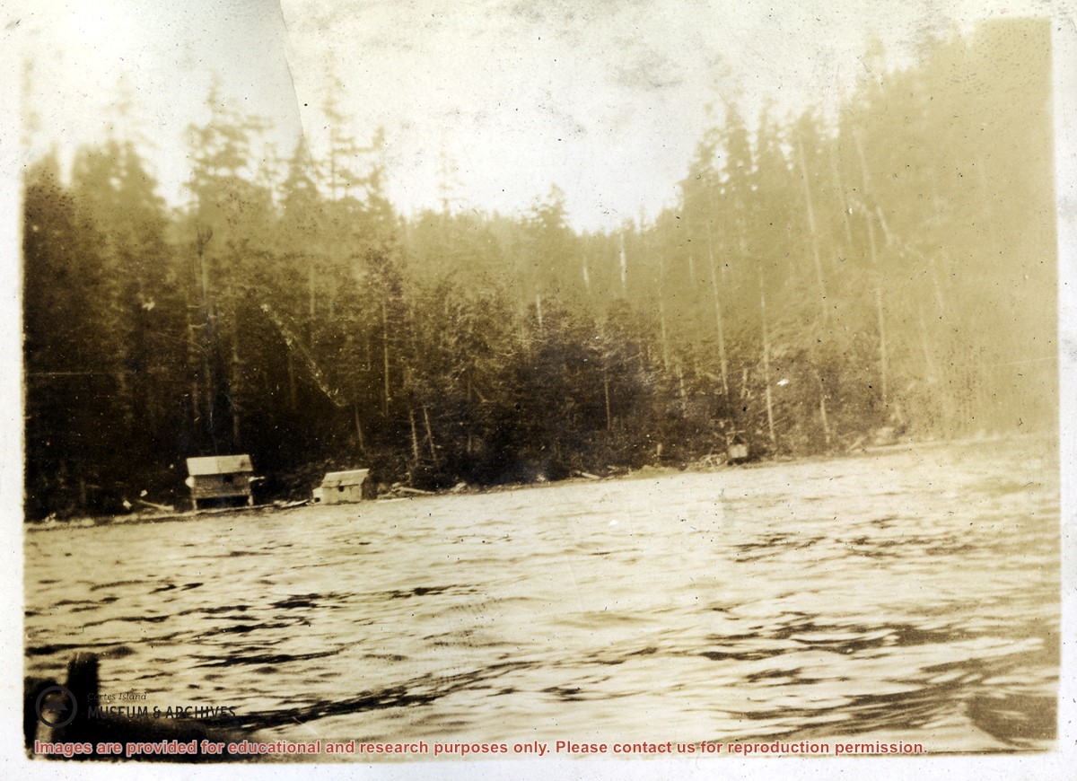
James (Jimmy) George Layton (1897-1990) was born in Camberwell, England. He fought in World War I, was severely wounded when he flung himself on a grenade which had landed in his foxhole, and received a medal for his bravery. In 1920, Layton emigrated to Canada, where he found work in coastal logging camps. Other members of the family, including his parents and seven of his ten siblings, also moved to Canada. At the time of his father's death in 1939, Layton, his parents and three of his brothers were living on Thurlow Island. In the 1940s he moved to the head of Von Donop Inlet on Cortes Island. His float house was drawn up on the beach next to a little islet that was joined to the shore at low tide, where he cultivated a garden and orchard. Layton found work logging and caretaking for local camps active in Von Donop, and helping his brother on his oyster lease. He moved to Lund in 1972, where he passed away at the age of 92.
Custodial History
Diaries were given to Joan Bevington by her cousin Capt. Harrison Layton, the nephew of James Layton, for donation to CIMAS.
Scope and Content
Fonds consists of ten diaries kept by James Layton, covering the years 1948-1981, and a Time Book. (Years 1967-1971 are missing.) Layton made brief daily entries in the diaries, noting the weather, activities, social interactions and, occasionally, notable external events. Typical activities included logging, fishing, working on an oyster lease, digging clams, gardening, visiting, reading and writing letters. Times of planting and harvesting the garden, sightings of wildlife, and names of people living nearby or visiting on boats are recorded.
File contains a key map which was pasted on the front of the envelope indicating the areas researched for Files 12-16; notes on the titles; photocopies of Crown Grants and subsequent title information for:
BC Buildings Corp: 1982, Crown Grant for Block A of SW 1/4 of Sec. 25 (Highways Maintenance Yard)
District Lot 871 (40 acres between Carrington and Coulter Bays): to James Frederick McManus, 1919
To Ernest Henry Vaughn: 1922, Crown Grant for NE 1/4 and NW 1/4 of NE 1/4 of Sec. 24; SE 1/4 of SW 1/4 and SW 1/4 of SE 1/4 of Sec 31
Herbert Proctor: 1928 for fractional SW 1/4 of Sec. 41, bordering Tork Reserve; 159 acres for $159.00 (orig. Crown Grant to Herbert Proctor in 1922)
To William Cowan: 1937, E 1/2 of SE 1/4 of Sec. 26, 89 acres
(Files 12 through 16 are from the same envelope.)
.pdf?width=280&404=no-doc.jpg)
.pdf?width=180&404=no-doc.jpg)