File contains photocopies of original Crown Grants, subsequent title changes and maps for:
To Joseph Gregson: 1926, Crown Grant for fractional W 1/2 of Lot 899 and Lot 901 (between Coulter and Carrington Bays), with a water easement for Wailes
To John Nugent McIllree: 1957, Crown Grant of mineral rights to lots at Coulter Bay surveyed as the "Arrow" and "Bullseye" mineral claims
To Hilda Peterson: 1919, Crown Grant for Lot 878, Carrington Bay, 55 acres
(Files 12 through 16 are from the same envelope.)
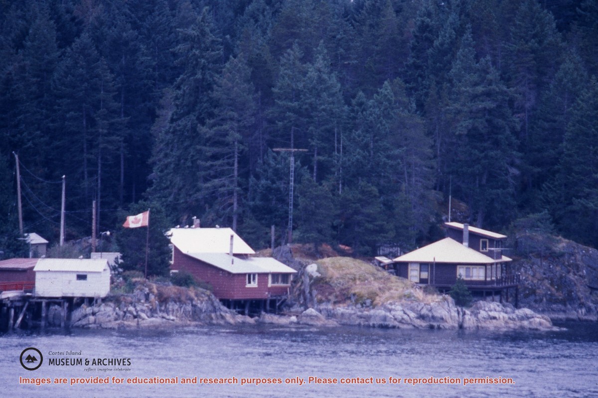
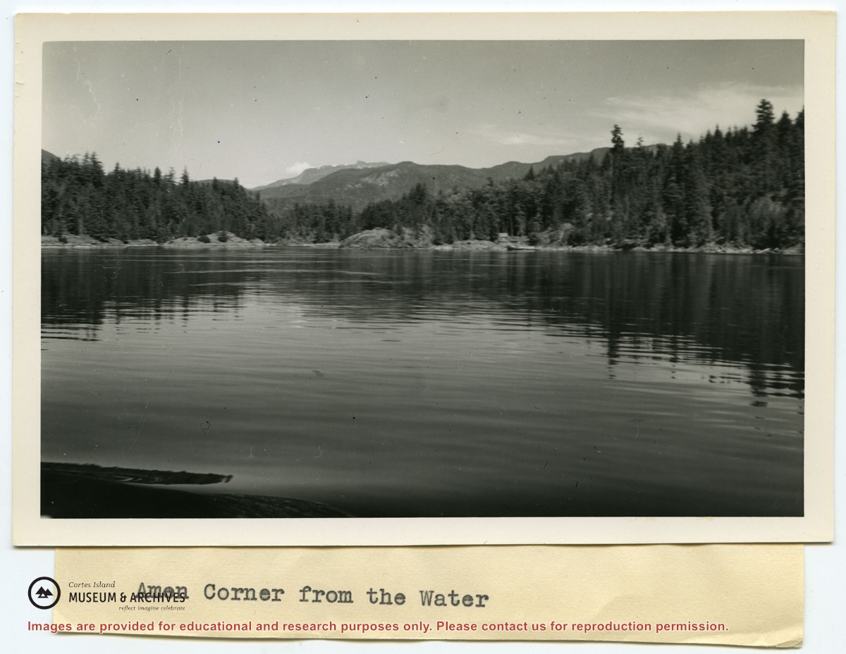
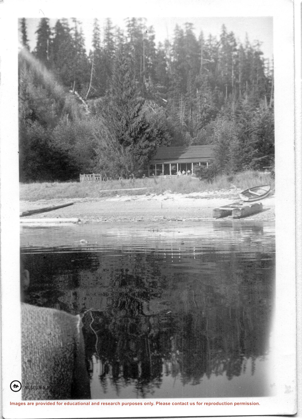
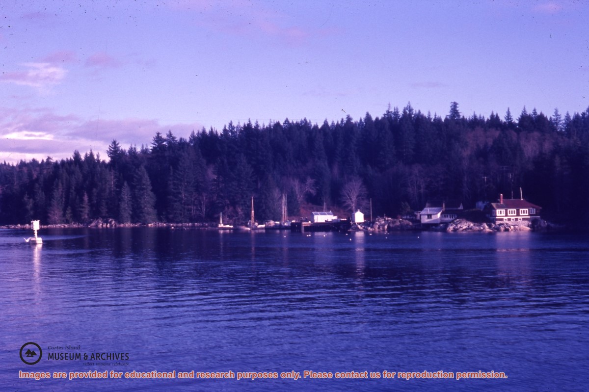
Photograph of Whaletown Bay taken from the water, showing the navigation marker at the entrance, and the houses to the left of the future site of the ferry landing.
Photograph of Whaletown Bay taken from the water, showing the navigation marker at the entrance, and the houses to the left of the future site of the ferry landing.
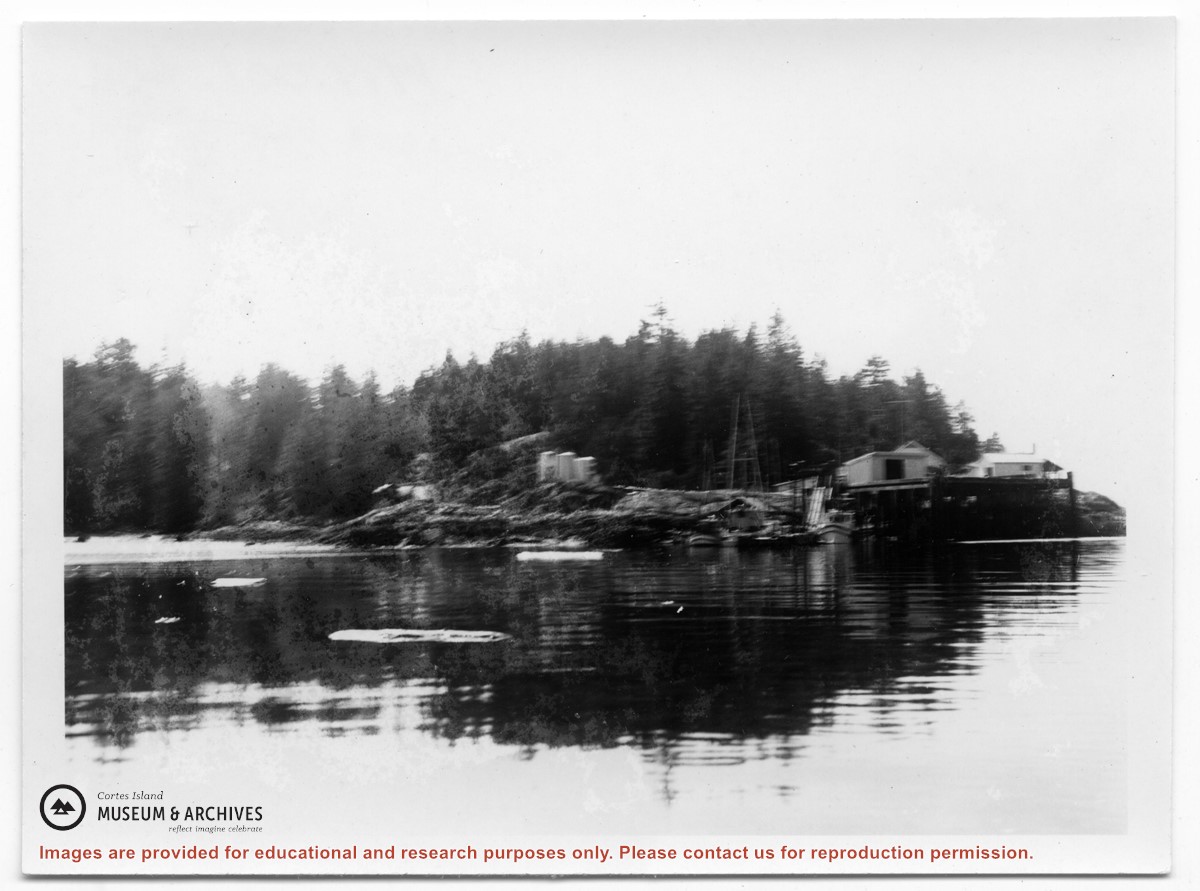
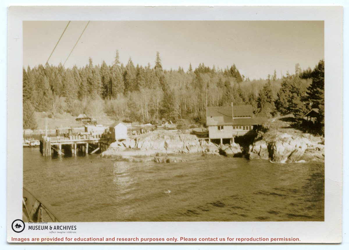
Photograph of Whaletown taken from the water, showing the wharf with the freight shed and fuel shed to its right; the store behind, and the fuel tanks on the rocks to the right.
Photograph of Whaletown taken from the water, showing the wharf with the freight shed and fuel shed to its right; the store behind, and the fuel tanks on the rocks to the right.
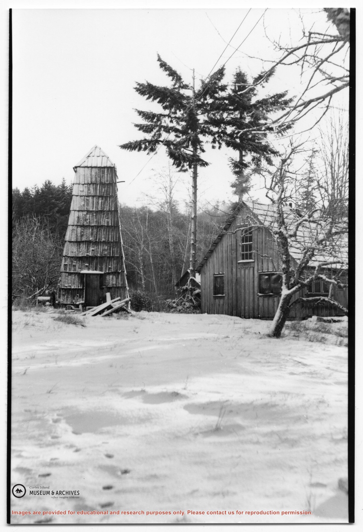
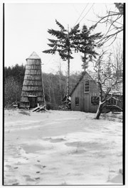
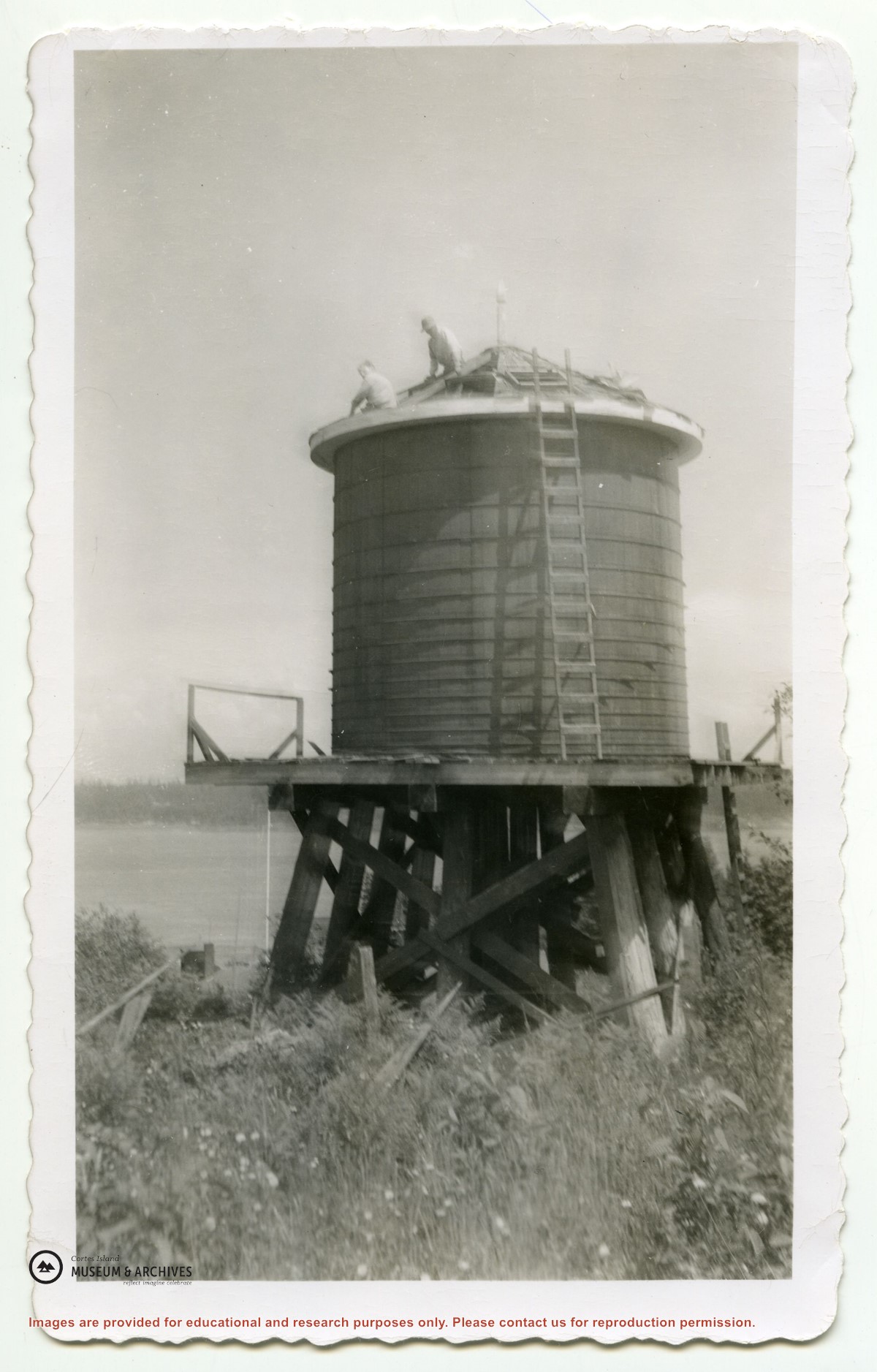
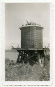
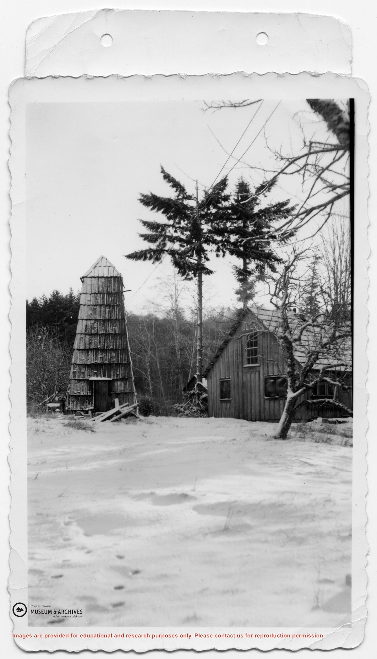
Photograph of the house beside the creek at the Robertson homestead in Whaletown, "Burnside". To the left is a tall round shingled water tower. (Same as #2003.002.471)
Photograph of the house beside the creek at the Robertson homestead in Whaletown, "Burnside". To the left is a tall round shingled water tower. (Same as #2003.002.471)
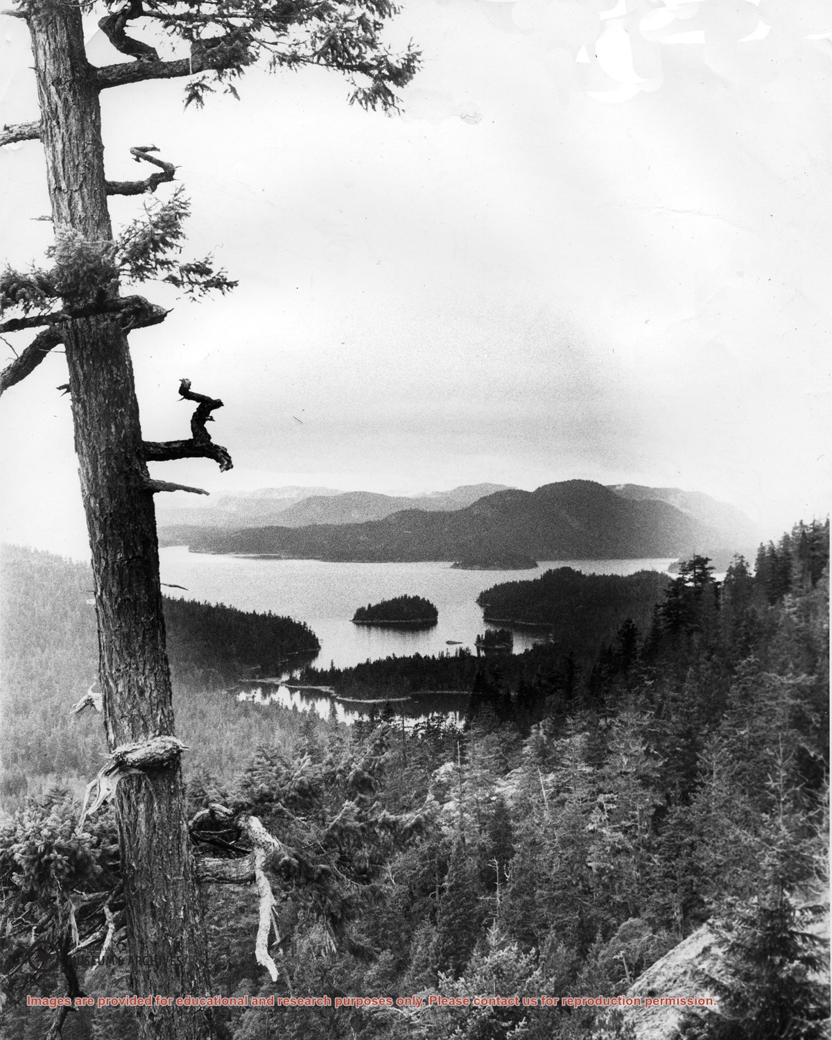
Looking north from Green Mountain over Carrington Lagoon and Carrington Bay (tidal falls in between) across 5 miles of water to Read Island, with a slew of islands to the north.