File contains correspondence (including copies of emails and faxes), maps, an Argosy Sea Farms management plan, APC minutes, Director's reports, print-outs of articles from Tideline (www.cortesisland.com), two Discovery Islander magazines (#370 and #371), one Cortes Community flyer and one Cove Notes flyer.
File contains correspondence (including copies of emails and faxes), maps, an Argosy Sea Farms management plan, APC minutes, Director's reports, print-outs of articles from Tideline (www.cortesisland.com), two Discovery Islander magazines (#370 and #371), one Cortes Community flyer and one Cove Notes flyer.
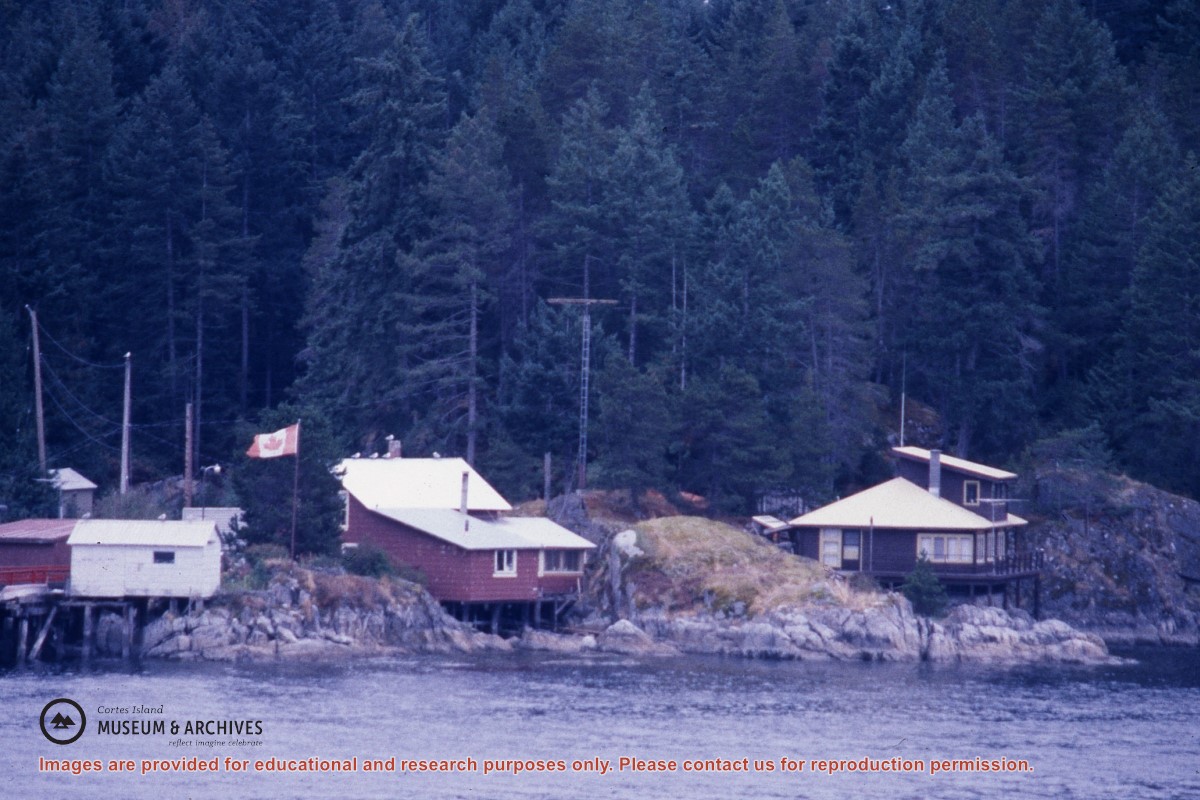
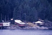
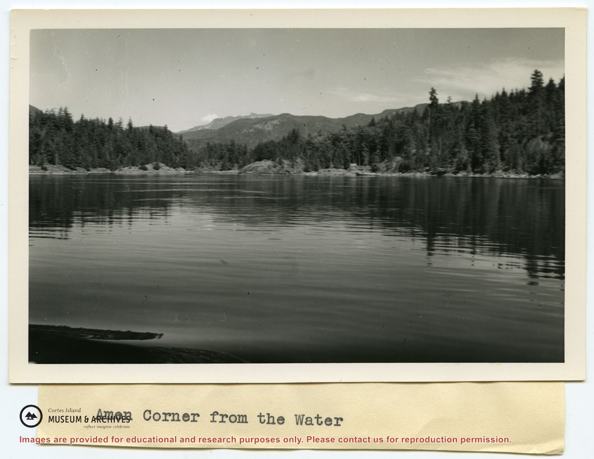
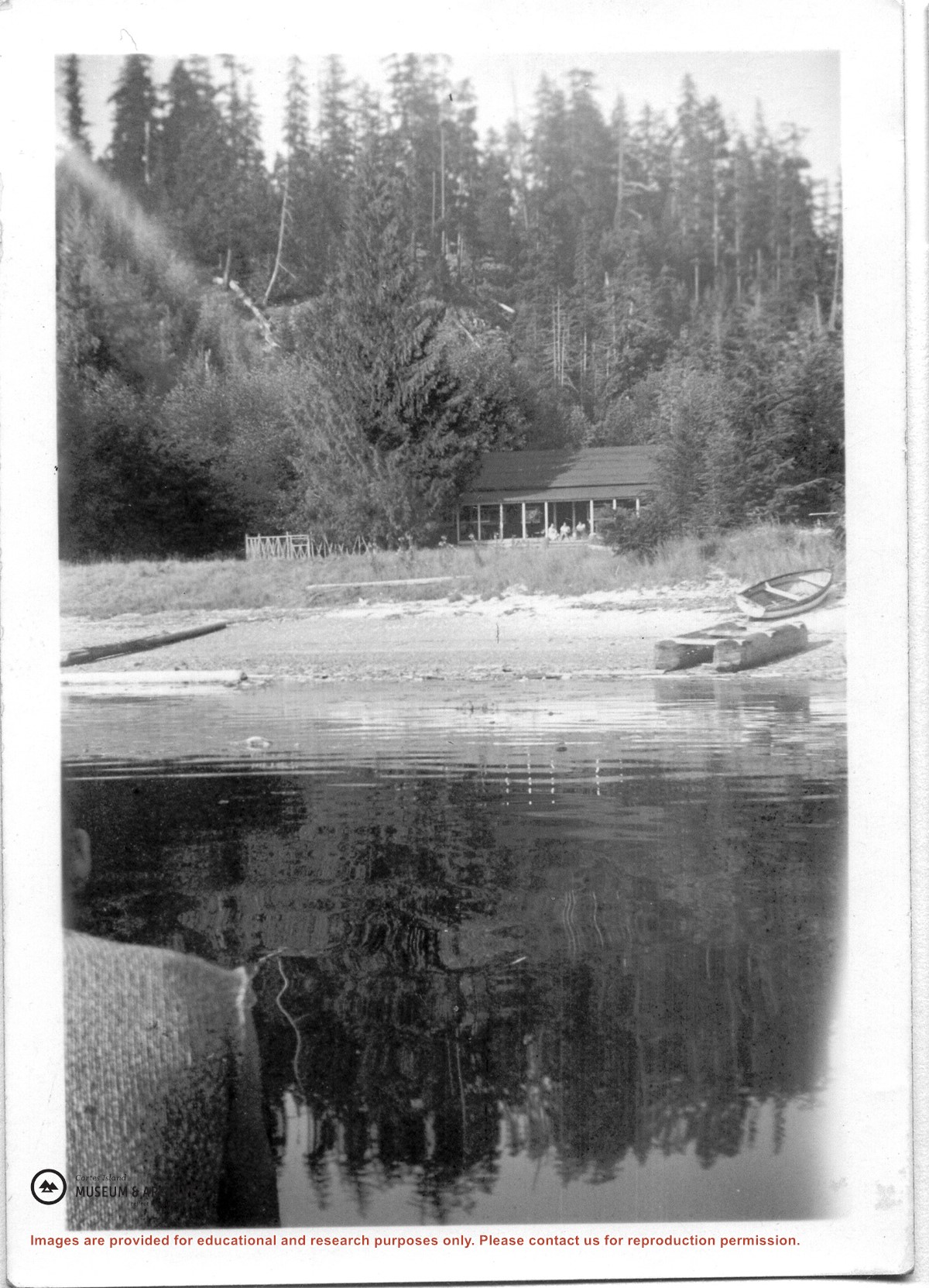
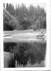
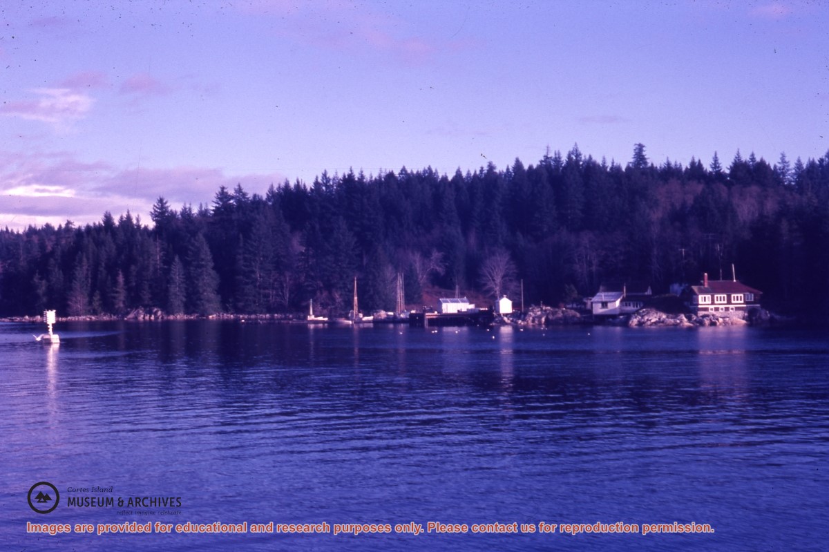
Photograph of Whaletown Bay taken from the water, showing the navigation marker at the entrance, and the houses to the left of the future site of the ferry landing.
Photograph of Whaletown Bay taken from the water, showing the navigation marker at the entrance, and the houses to the left of the future site of the ferry landing.
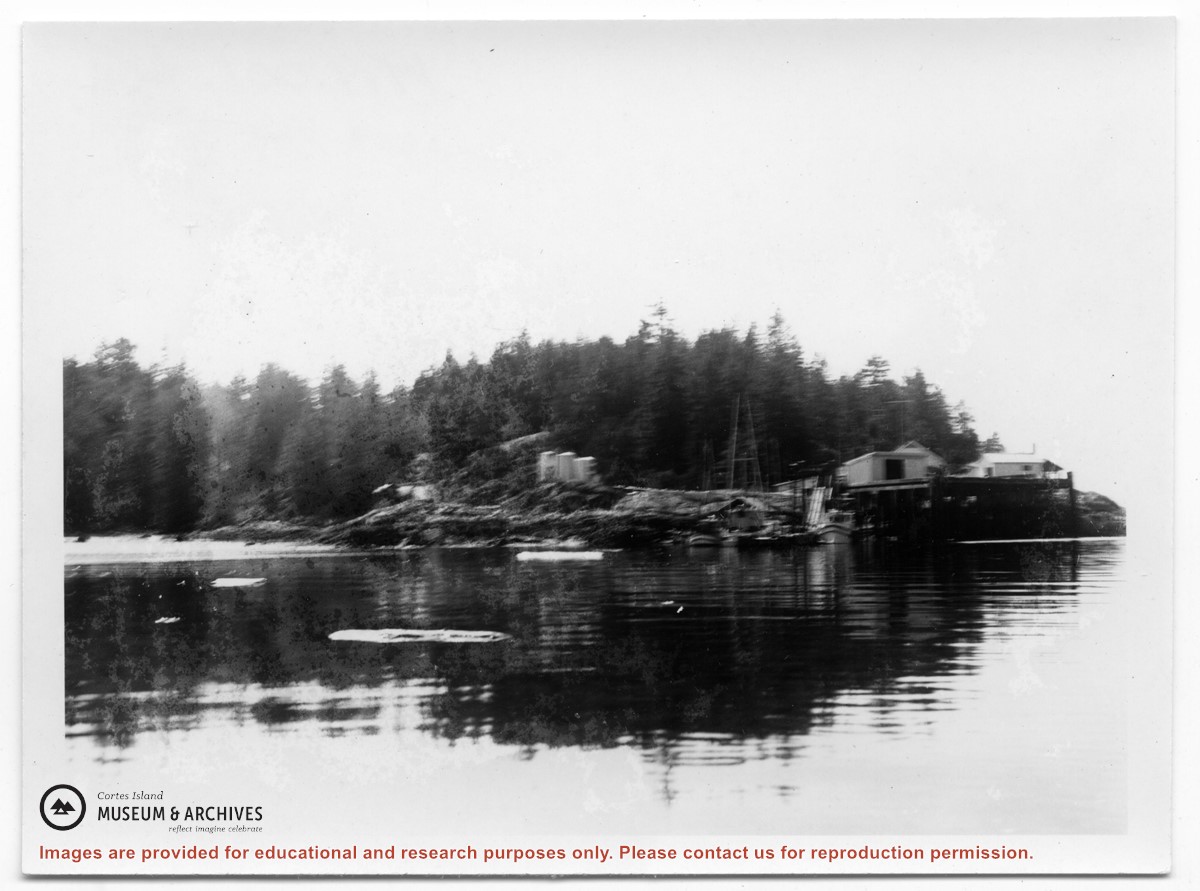
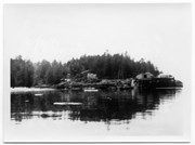
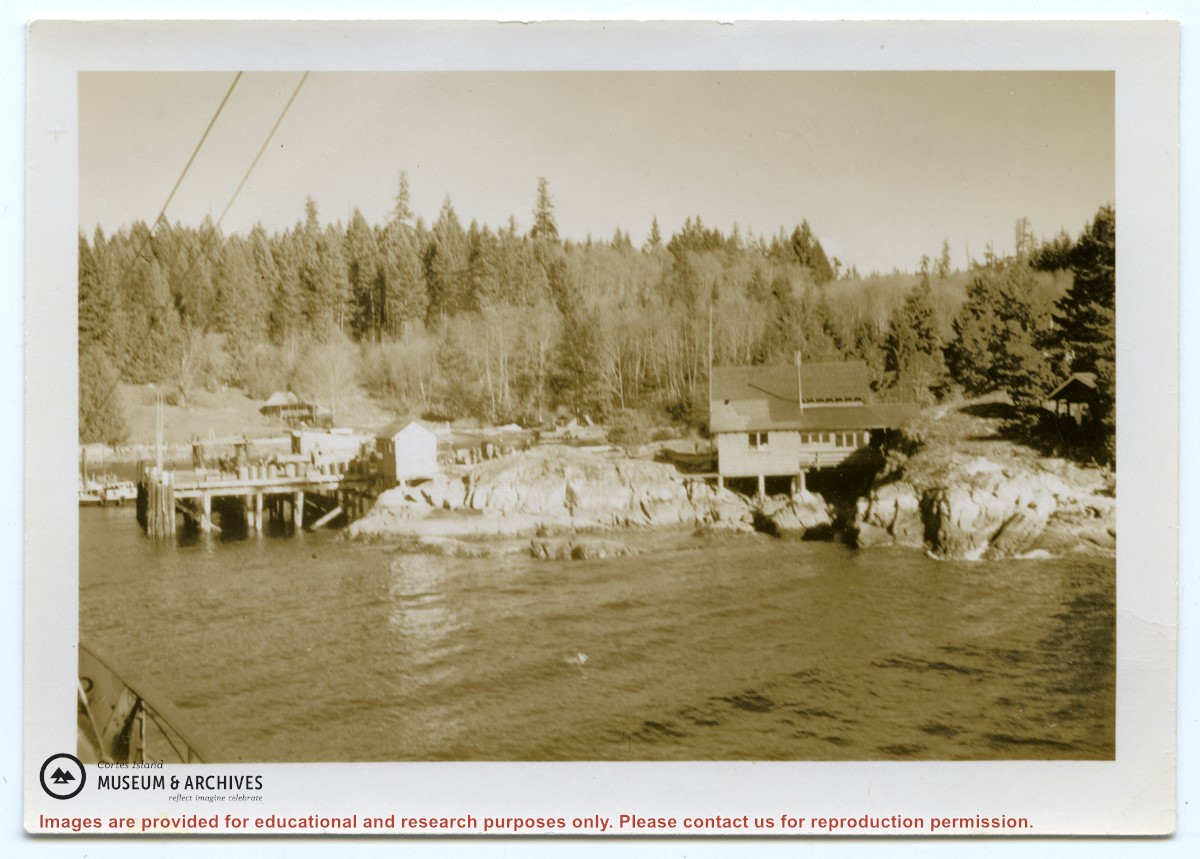
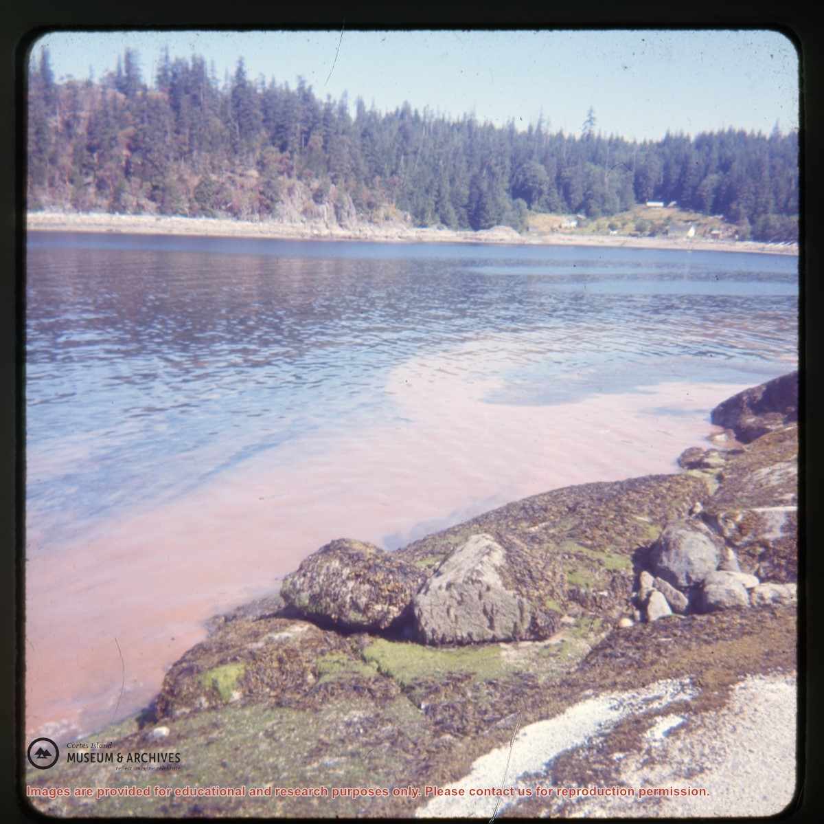
Photograph of Whaletown taken from the water, showing the wharf with the freight shed and fuel shed to its right; the store behind, and the fuel tanks on the rocks to the right.
Photograph of Whaletown taken from the water, showing the wharf with the freight shed and fuel shed to its right; the store behind, and the fuel tanks on the rocks to the right.
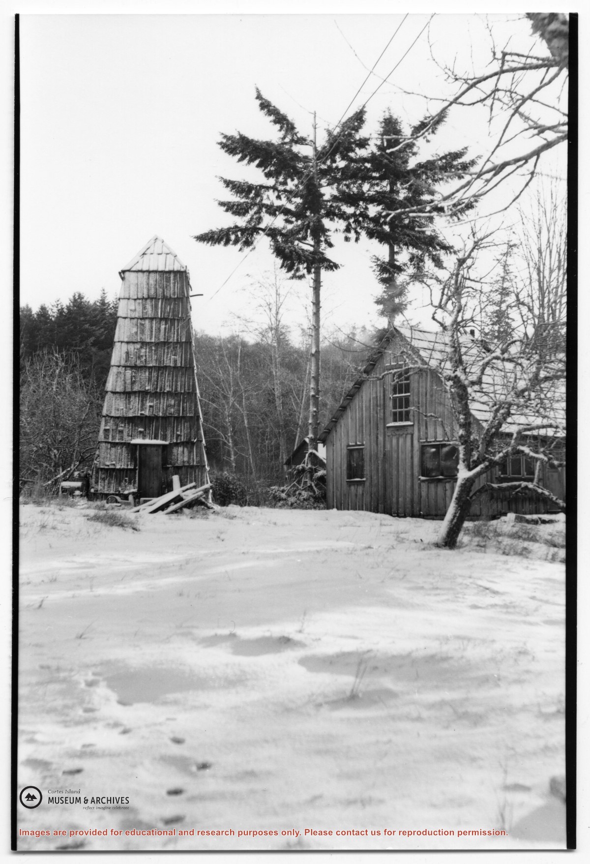
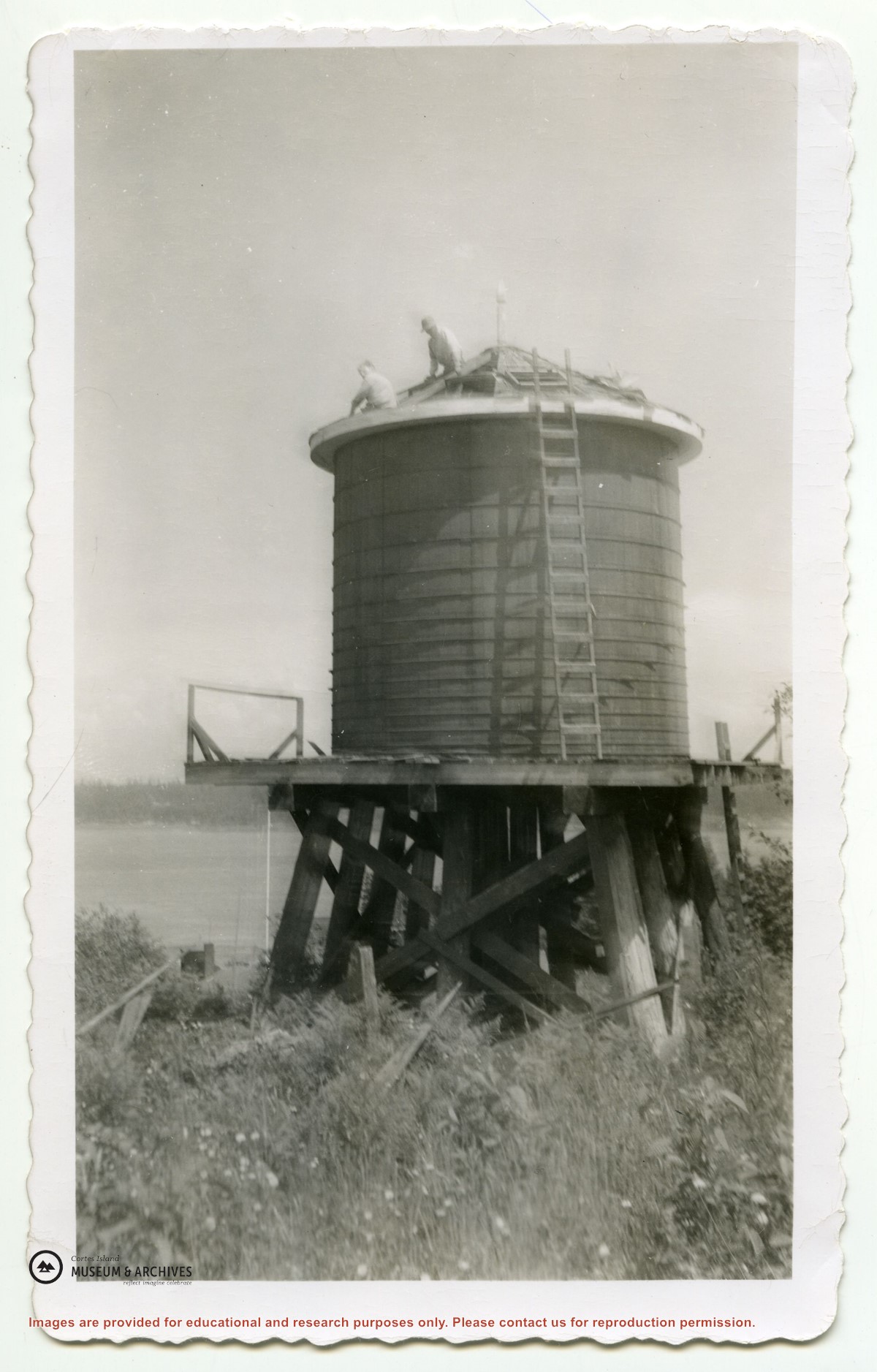
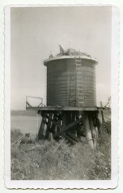
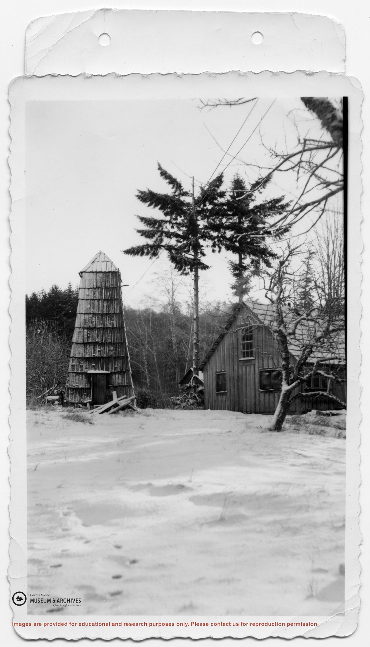
Photograph of the house beside the creek at the Robertson homestead in Whaletown, "Burnside". To the left is a tall round shingled water tower. (Same as #2003.002.471)
Photograph of the house beside the creek at the Robertson homestead in Whaletown, "Burnside". To the left is a tall round shingled water tower. (Same as #2003.002.471)