Series consists of files pertaining to the relationship between FOCI and CES, including collaboration and mutual aid. See Series 1 of this fonds for documents pertaining to the E-Team Work Crew grant awarded to FOCI and CES.
Series consists of files pertaining to the relationship between FOCI and CES, including collaboration and mutual aid. See Series 1 of this fonds for documents pertaining to the E-Team Work Crew grant awarded to FOCI and CES.
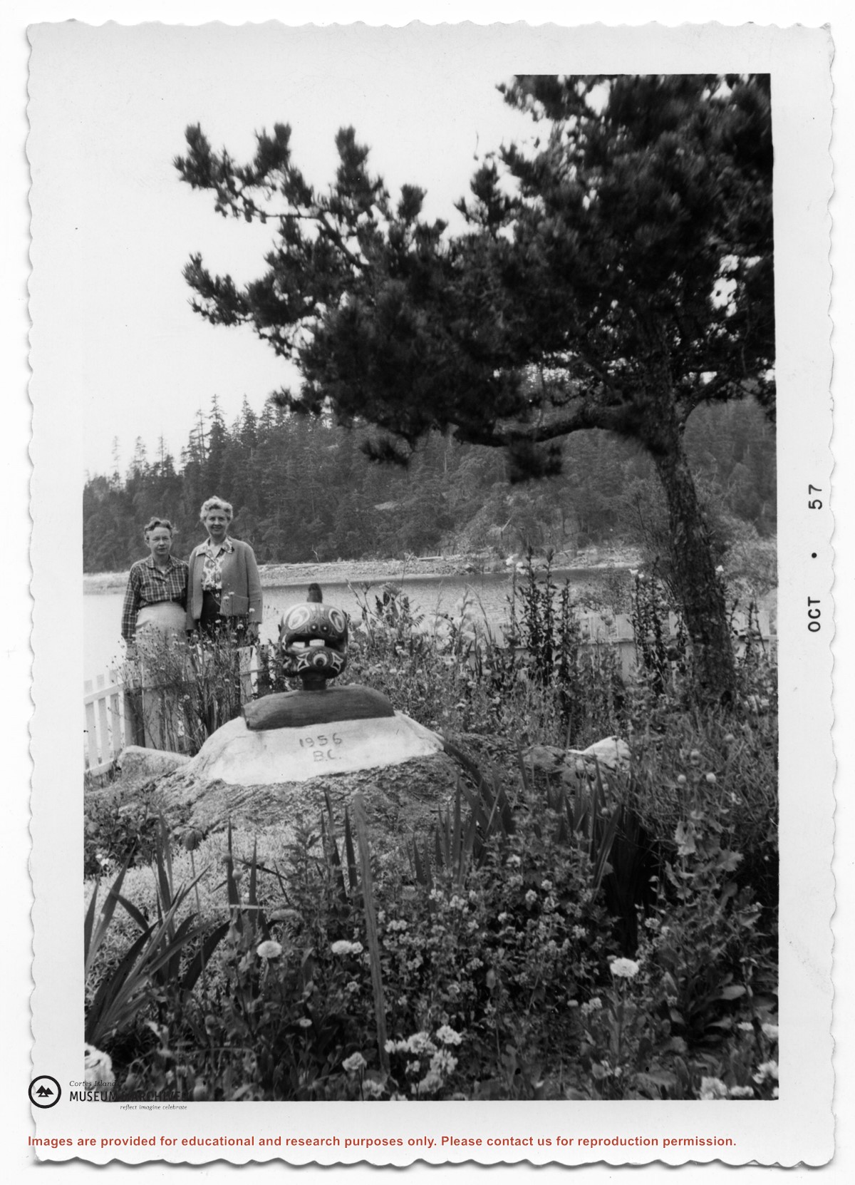
Series consists of records of the Whaletown Community Club from the 1950s, and club newsletters from the late 1980s. Both Gilean Douglas and Philip Major Douglas held office in the club during the 1950s. Series includes correspondence, financial reports, lists of members and other administrative documents, and newsletters.
Series consists of records of the Whaletown Community Club from the 1950s, and club newsletters from the late 1980s. Both Gilean Douglas and Philip Major Douglas held office in the club during the 1950s. Series includes correspondence, financial reports, lists of members and other administrative documents, and newsletters.
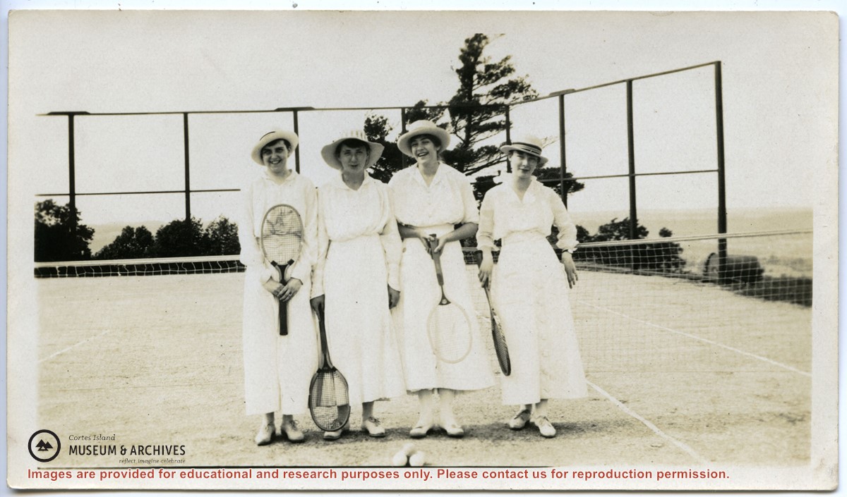
Series consists of publicity articles written by Douglas for the Women's Institute during her term as Publicity Convener, and reports, speeches and notes from her activities on the provincial and national boards.
Series consists of publicity articles written by Douglas for the Women's Institute during her term as Publicity Convener, and reports, speeches and notes from her activities on the provincial and national boards.
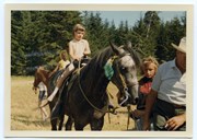
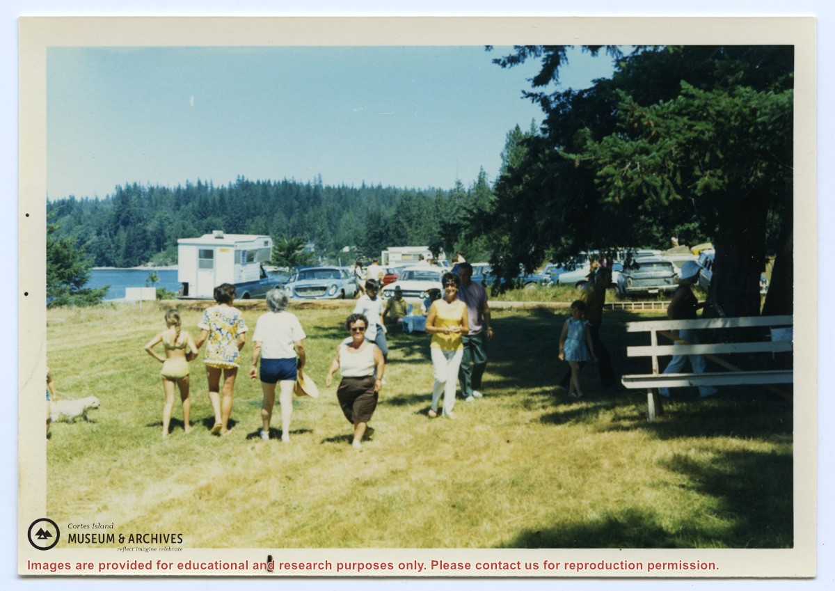
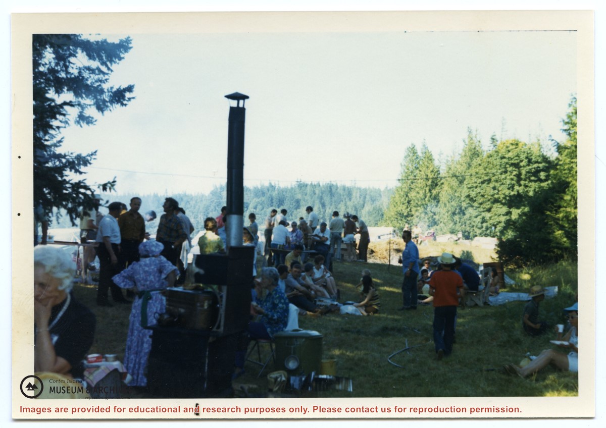
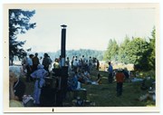
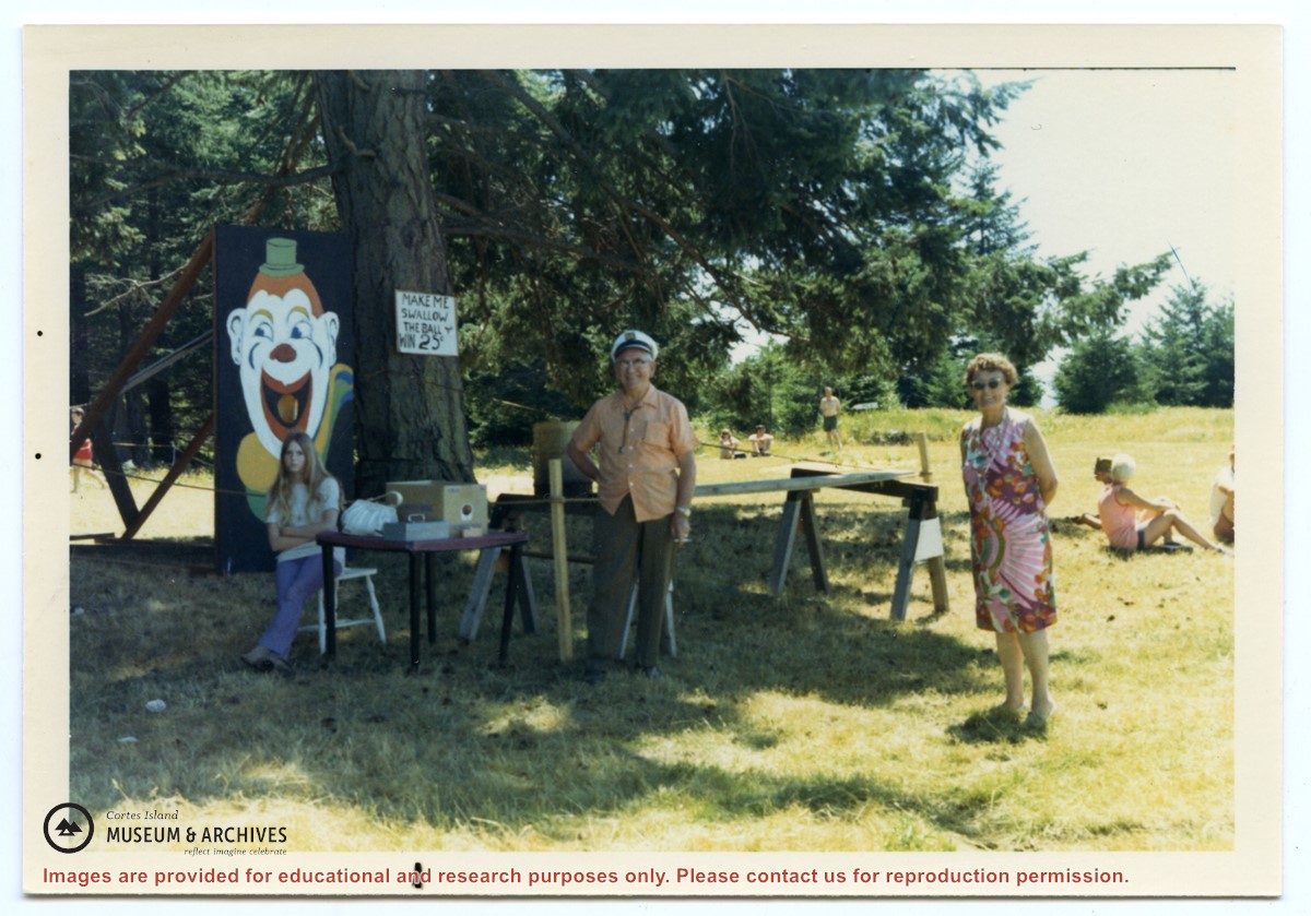
Photograph, taken at Smelt Bay on Cortes Island Day, of Bill Jenkins and Jean Jenkins (R) beside a booth with a sign that says "Make me swallow the ball". (check)
Photograph, taken at Smelt Bay on Cortes Island Day, of Bill Jenkins and Jean Jenkins (R) beside a booth with a sign that says "Make me swallow the ball". (check)
The base map is a zoning map produced by the Regional District of Comox-
Strathcona for the Cortes Island Land Use Project (Aug 1969). Edwards used
coloured pencil to show land and foreshore zones, and transferred information
about early preemptions and old roads and trails from an earlier map (see
Donald Palmer fonds, 2020.002.011, map of Cortes Island, Sayward District, ca.
1915).