This is the continuation (Part 3) of an interview of Etta and Clarence Byers by Oonagh O'Connor. Clarence talks about his family history; moving to Cortes Island, logging on Cortes in the Von Donop/Blue Jay Lake/Carrington Bay area; road-building; and the arrival of Japanese oysters to Cortes beaches in ca. 1938. There is a short summary of the interview, written by May Ellingsen, in the cassette case.
This is the continuation (Part 3) of an interview of Etta and Clarence Byers by Oonagh O'Connor. Clarence talks about his family history; moving to Cortes Island, logging on Cortes in the Von Donop/Blue Jay Lake/Carrington Bay area; road-building; and the arrival of Japanese oysters to Cortes beaches in ca. 1938. There is a short summary of the interview, written by May Ellingsen, in the cassette case.
Recording consists of a round-table discussion, held to gather information for the "The Von Donop Creek Story" exhibit. Participants were [CHECK] (see 1999.004.047 for Parts 1 and 2)
Recording consists of a round-table discussion, held to gather information for the "The Von Donop Creek Story" exhibit. Participants were [CHECK] (see 1999.004.047 for Parts 1 and 2)
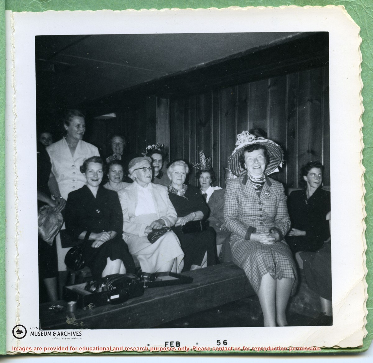
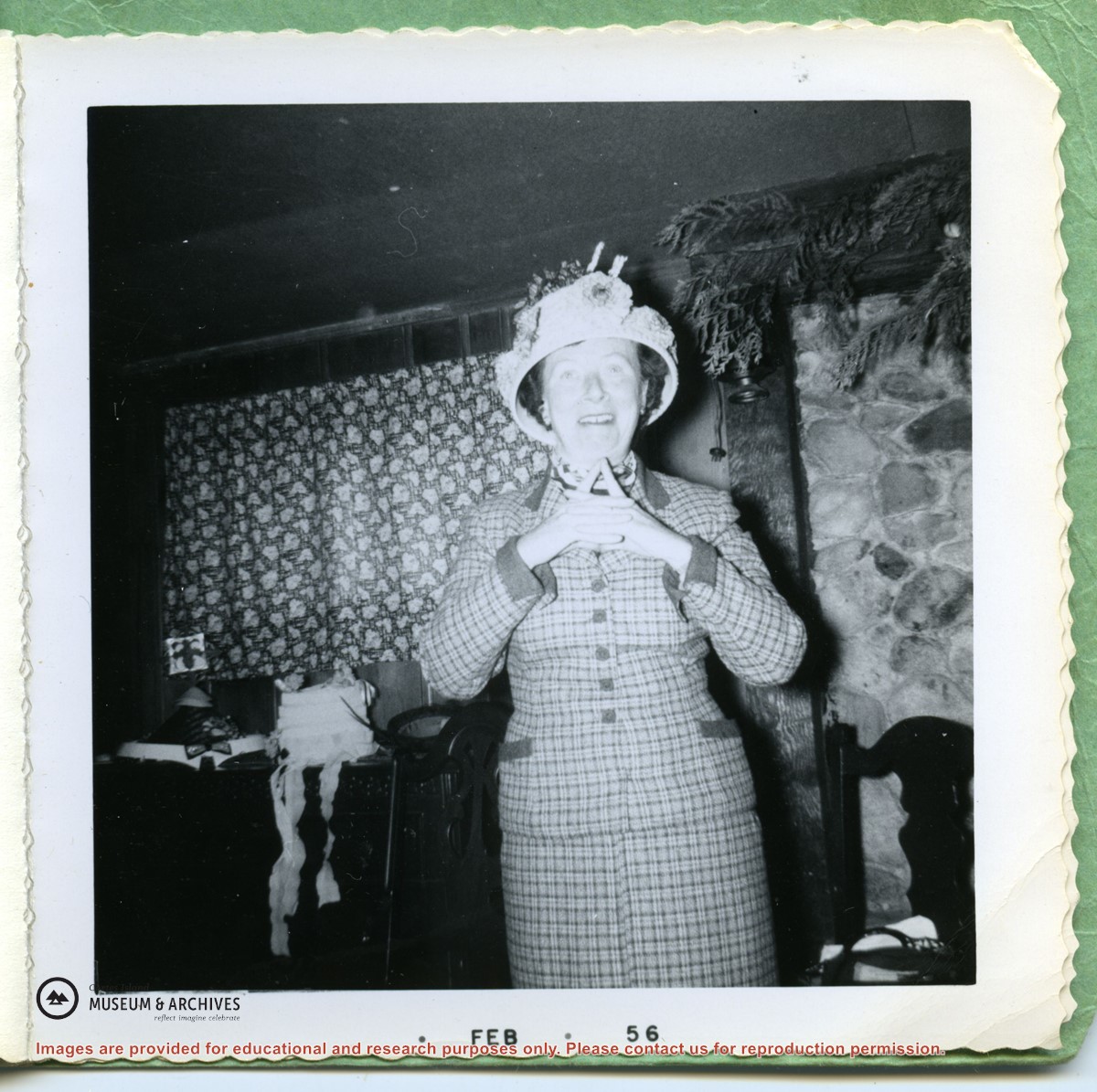
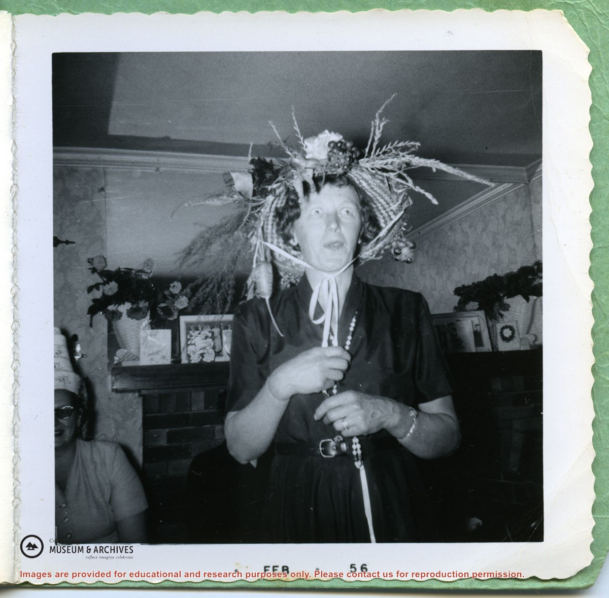
Small booklet with 3 photographs of women in extravagantly decorated hats; in the first print Gilean Douglas is front right. (Possibly a Women's Institute function?)
Small booklet with 3 photographs of women in extravagantly decorated hats; in the first print Gilean Douglas is front right. (Possibly a Women's Institute function?)
File contains correspondence, CSRD staff reports and notes from a public hearing regarding a proposed rezoning application for water-access only land on Gorge Harbour.
File contains correspondence, CSRD staff reports and notes from a public hearing regarding a proposed rezoning application for water-access only land on Gorge Harbour.
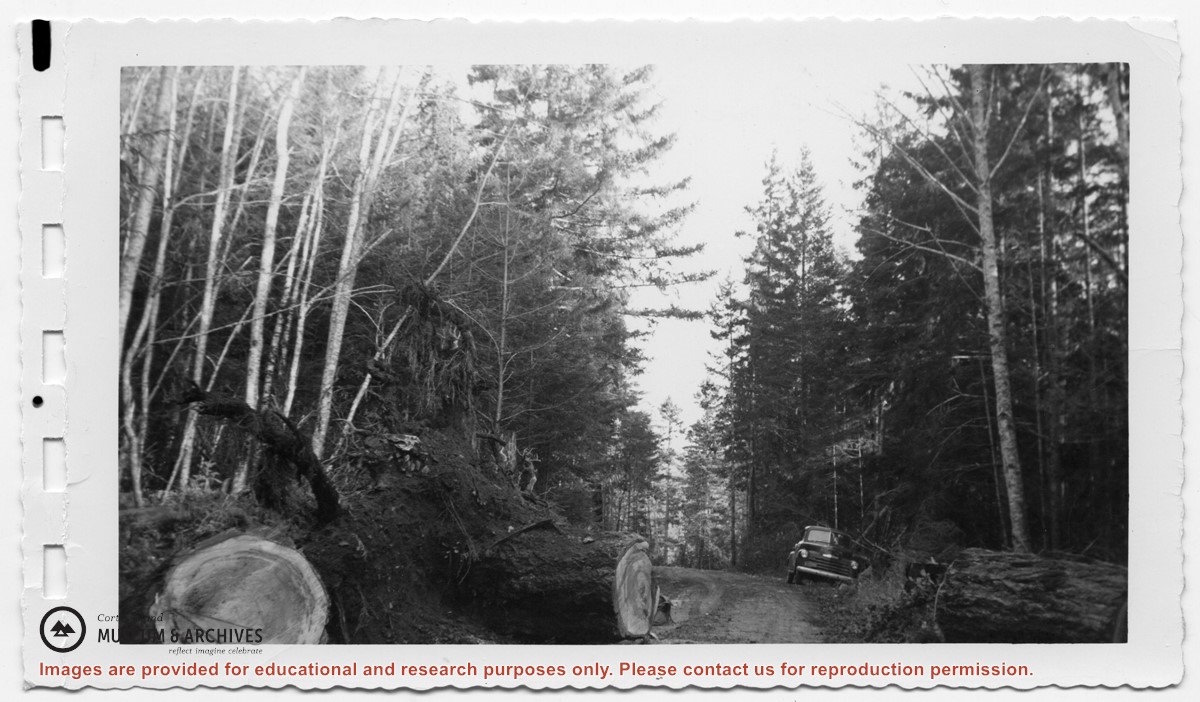
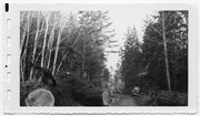
Truck parked to the side of the road at Clinic Hill in Whaletown; a large first-growth fir has fallen across the road and a section of the log has been cut out to clear the road
Five (5) images of people on the Cortes Bay dock. Includes Marg DeMarris, Oliver & Mary Ward, Maurice Dronsfield, Eva Freeman. Midge [?], Cliff [?], Buster Christensen
Five (5) images of people on the Cortes Bay dock. Includes Marg DeMarris, Oliver & Mary Ward, Maurice Dronsfield, Eva Freeman. Midge [?], Cliff [?], Buster Christensen
Five (5) images of people on the Cortes Bay dock. Includes Marg DeMarris, Oliver & Mary Ward, Maurice Dronsfield, Eva Freeman. Midge [?], Cliff [?], Buster Christensen
Five (5) images of people on the Cortes Bay dock. Includes Marg DeMarris, Oliver & Mary Ward, Maurice Dronsfield, Eva Freeman. Midge [?], Cliff [?], Buster Christensen
File contains a photocopied section map of the northern part of Cortes Island (from just south of Gorge Harbour), coloured to indicate areas for which a Crown Grant was located and areas of ungranted Crown land which still appear to be owned by the government. Scale is 1 mile to 1 inch.
File contains a photocopied section map of the northern part of Cortes Island (from just south of Gorge Harbour), coloured to indicate areas for which a Crown Grant was located and areas of ungranted Crown land which still appear to be owned by the government. Scale is 1 mile to 1 inch.
File contains title information to 1991 and a photocopy of the original Crown Grant to:
Nicholas Thompson: 1920, Crown Grant of Fractional SW 1/4 of Section 35; 54 acres on the southwest of Whaletown Bay
File contains a small explanatory map if a 5.5 acre portion of fractional SW 1/4 of Sec. 35, 1949, and a Subdivision Plan map of part of fractional SW 1/4 of Sec. 35, 1957 (stored in the Map Cabinet).
(Files 9 and 10 are from the same envelope.)
File contains photocopies of the original Crown Grants and subsequent title changes with plan maps.
To Moses Ireland: 1893, Crown Grant for the W 1/2 of the SW 1/4 of Section 35 and the fractional SE 1/4 of Section 35 (161 acres around Whaletown Bay
To George Alderson: 1961, Crown Grant for Lot 3 of Section 34
File contains a key map which was pasted on the front of the envelope indicating the areas researched for Files 12-16; notes on the titles; photocopies of Crown Grants and subsequent title information for:
BC Buildings Corp: 1982, Crown Grant for Block A of SW 1/4 of Sec. 25 (Highways Maintenance Yard)
District Lot 871 (40 acres between Carrington and Coulter Bays): to James Frederick McManus, 1919
To Ernest Henry Vaughn: 1922, Crown Grant for NE 1/4 and NW 1/4 of NE 1/4 of Sec. 24; SE 1/4 of SW 1/4 and SW 1/4 of SE 1/4 of Sec 31
Herbert Proctor: 1928 for fractional SW 1/4 of Sec. 41, bordering Tork Reserve; 159 acres for $159.00 (orig. Crown Grant to Herbert Proctor in 1922)
To William Cowan: 1937, E 1/2 of SE 1/4 of Sec. 26, 89 acres
(Files 12 through 16 are from the same envelope.)
File contains a page of notes, and photocopies of a tax sale notice (1938) and list of properties forfeited for non-payment of taxes, Crown Grants and other title information for the following:
William Walter James: 1926, Crown Grant for NW 1/4 of Sec. 38; 156 acres for $1.00; forfeited to Crown in 1939
Tom Albinson: 1919, Crown Grant for Lot 867; forfeited in 1927
Sadie McMurray: 1917, NE 1/4 of Sec. 39; 160 acres for $160
Peter Police: 1925, fractional NW 1/4 of Sec. 39; 103 acres for $1.00
(Files 12 through 16 are from the same envelope.)
.pdf?width=280&404=no-doc.jpg)
.pdf?width=180&404=no-doc.jpg)