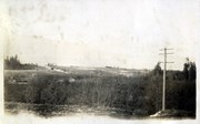
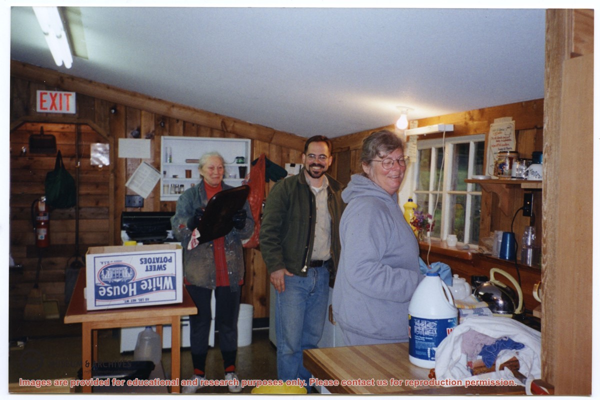
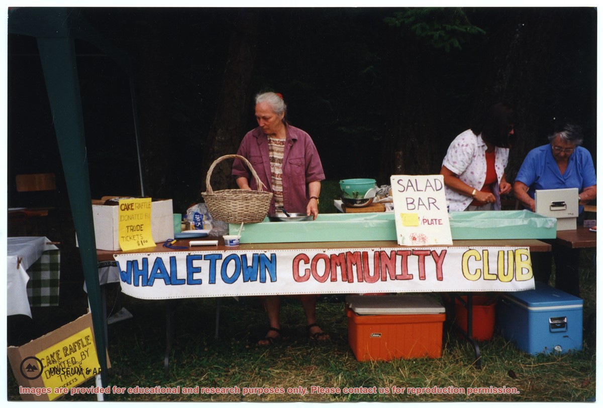
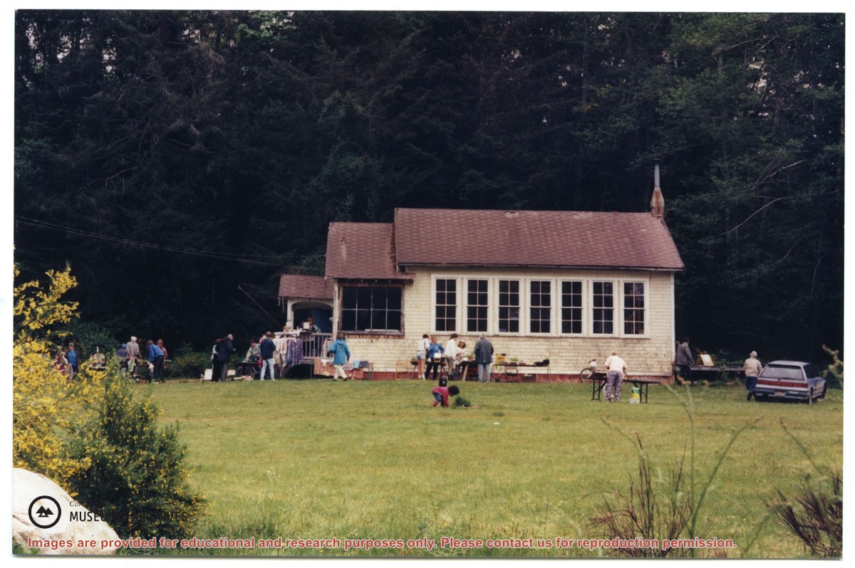
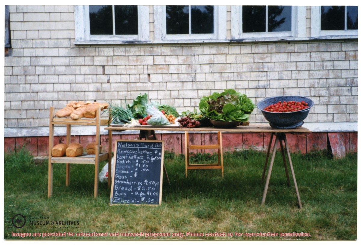
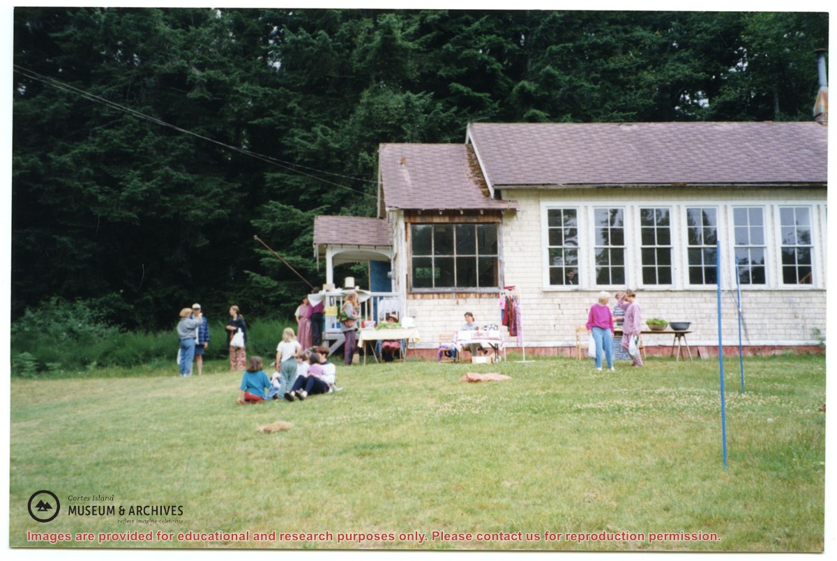
File contains photographs of a work bee at the Gorge Hall, bowling groups from Quadra and Cortes, people outside the old Whaletown school, and the Cortes Day salad bar (with Trude Sweeny).
File contains photographs of a work bee at the Gorge Hall, bowling groups from Quadra and Cortes, people outside the old Whaletown school, and the Cortes Day salad bar (with Trude Sweeny).
Page from a photo album. Pictured: Marian Wooley, Kate Wood, Wendy (Anicca) & Pierre DeTrey, Sheryl Anson, Gail Ringwood, Yendor, John Sprungman, John Wooley, Sherry Sprungman
Page from a photo album. Pictured: Marian Wooley, Kate Wood, Wendy (Anicca) & Pierre DeTrey, Sheryl Anson, Gail Ringwood, Yendor, John Sprungman, John Wooley, Sherry Sprungman
Five (5) images of people on the Cortes Bay dock. Includes Marg DeMarris, Oliver & Mary Ward, Maurice Dronsfield, Eva Freeman. Midge [?], Cliff [?], Buster Christensen
Five (5) images of people on the Cortes Bay dock. Includes Marg DeMarris, Oliver & Mary Ward, Maurice Dronsfield, Eva Freeman. Midge [?], Cliff [?], Buster Christensen
Five (5) images of people on the Cortes Bay dock. Includes Marg DeMarris, Oliver & Mary Ward, Maurice Dronsfield, Eva Freeman. Midge [?], Cliff [?], Buster Christensen
Five (5) images of people on the Cortes Bay dock. Includes Marg DeMarris, Oliver & Mary Ward, Maurice Dronsfield, Eva Freeman. Midge [?], Cliff [?], Buster Christensen
This series consists of binders compiled by museum volunteers to document various aspects of Cortes Island history. The binders contain a mixture of photographs, correspondence and research.
This series consists of binders compiled by museum volunteers to document various aspects of Cortes Island history. The binders contain a mixture of photographs, correspondence and research.
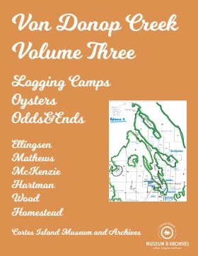
Binder contains interviews, stories and pictures. It was created in 2001 as part of the exhibit "The Von Donop Creek Story - 1920-1960", curated and mounted by Doreen Thompson. Binder contains interviews, stories and pictures.
Binder contains interviews, stories and pictures. It was created in 2001 as part of the exhibit "The Von Donop Creek Story - 1920-1960", curated and mounted by Doreen Thompson. Binder contains interviews, stories and pictures.
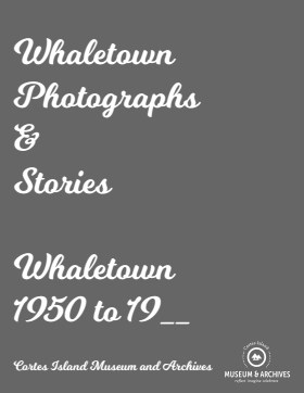
Binder contains interviews, stories and photographs documenting the social history of the Whaletown area. It was created as part of the Windows on Whaletown Exhibit, curated and mounted by Doreen Thompson.
Additional information:
re photo on p 79: "Dell Tooker with Stephen Williams (son of Trefor Williams). The Titus’s were gone by 1960 when the photo was taken. This horse was “Lady” and belonged to Bert Hansen. He kindly loaned her to us sometimes which was so appreciated." (from Tari Tooker Chiasson, 5/2021)
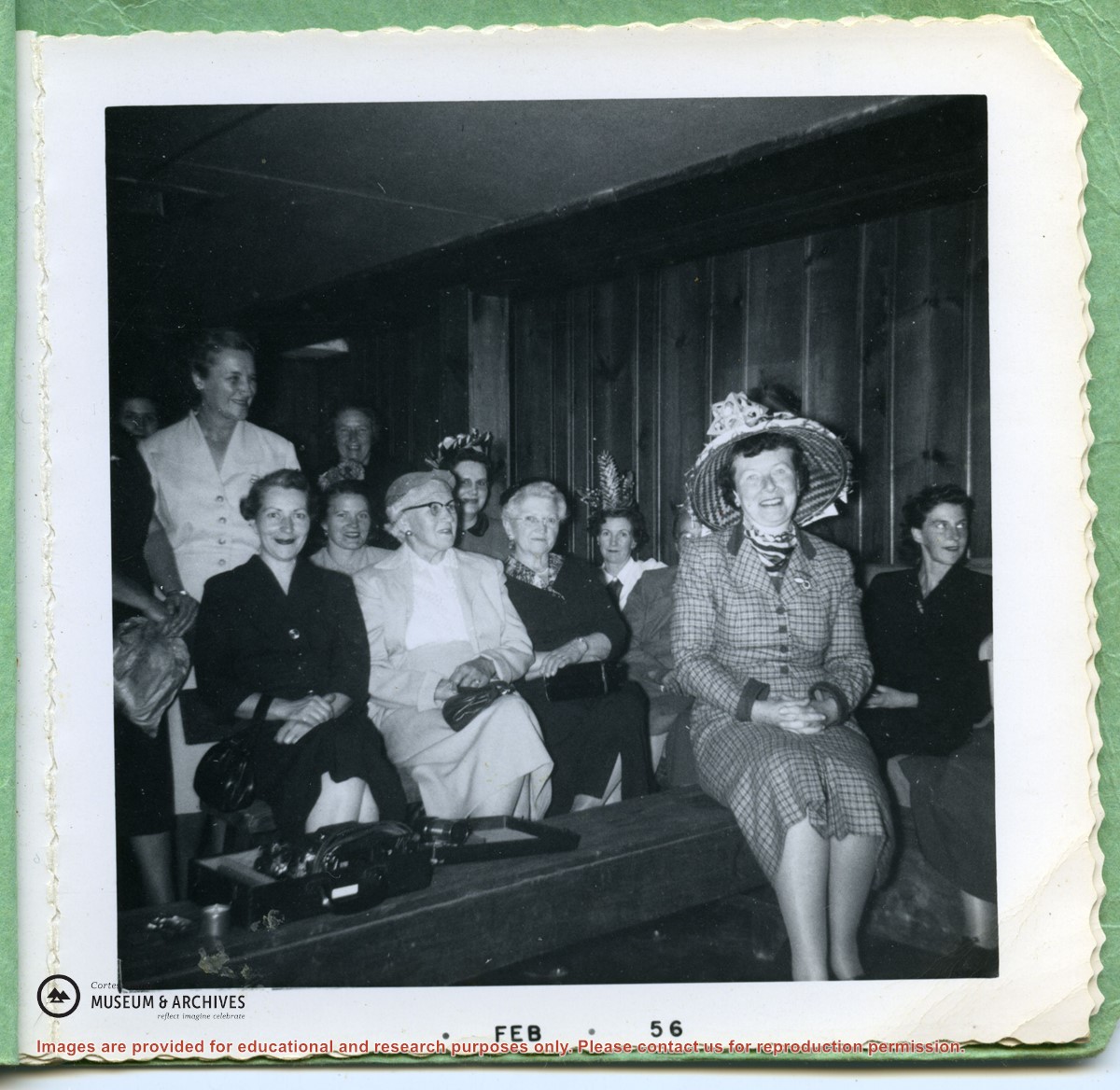
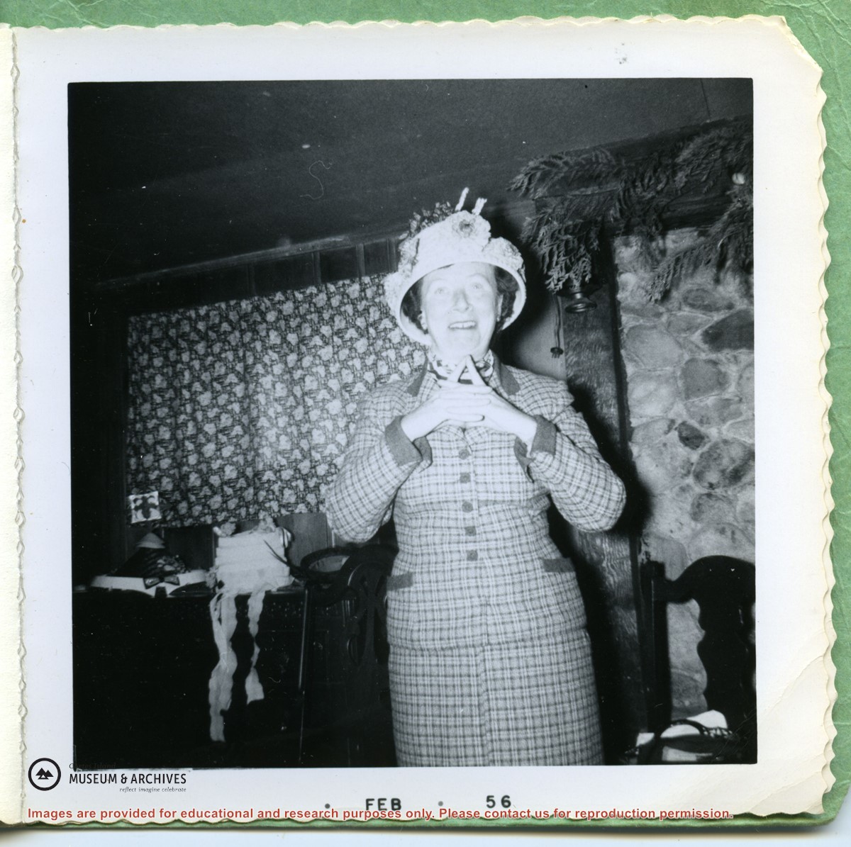
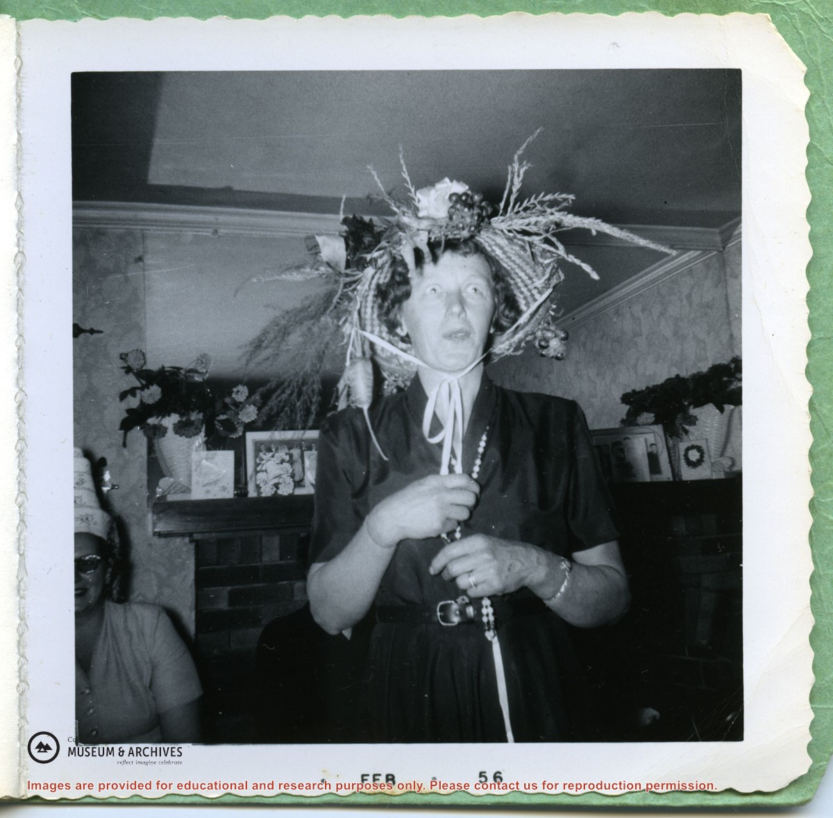
Small booklet with 3 photographs of women in extravagantly decorated hats; in the first print Gilean Douglas is front right. (Possibly a Women's Institute function?)
Small booklet with 3 photographs of women in extravagantly decorated hats; in the first print Gilean Douglas is front right. (Possibly a Women's Institute function?)
File contains a photocopied part of a map showing the locations of researched property in the Whaletown Lagoon and Whaletown Harbour area. The map is glued to an envelope which has a list of Crown grants and other conveyances on the back.
It contains photocopies of original land grants and other conveyances for the following:
Moses Ireland: 1893, Crown Grant for the W 1/2 of SW 1/4 of Sec 35 and W 1/2 of the SW 1/4 of Section 34
Joseph Youart: 1900, Crown Grant for Fractional NE 1/4 of Sec 35 (sold to Alice Robertson in 1908; "Burnside" is still in the Robertson family).
Nicholas Thompson: 1920, Crown Grant for the Fractional SW 1/4 of Sec 35
Charles Strange: 1914, Crown Grant for the NW 1/4 of Sec 35
File contains title information and photocopies of land grants and subsequent conveyances for the following:
John Williams: 1914, Crown Grant for the fractional SW 1/4 of Sec 22 and fractional NW 1/4 of Sec 22 (east of Gorge Harbour entrance)
John Williams: 1914, Crown Grant for the fractional SW 1/4 of Sec 22 and frac. NW 1/4 of Sec 18 (west of the Gorge Harbour entrance)
File contains three oversize maps which are stored in the map cabinet: Map of Section 22, Plan VIP52378, Lots A,B,C (blueprint map; 85 cm x 54 cm, 1985); map of Plan 27966 (blueprint map; 55 cm x 43 cm, 1974); photocopy of map of fractional NW 1/4 Sec 17 (55 cm x 43 cm, 1973)
(Files 3 through 7 are from the same envelope.)
File contains a photocopied section map of the northern part of Cortes Island (from just south of Gorge Harbour), coloured to indicate areas for which a Crown Grant was located and areas of ungranted Crown land which still appear to be owned by the government. Scale is 1 mile to 1 inch.
File contains a photocopied section map of the northern part of Cortes Island (from just south of Gorge Harbour), coloured to indicate areas for which a Crown Grant was located and areas of ungranted Crown land which still appear to be owned by the government. Scale is 1 mile to 1 inch.

.jpg?width=1200&404=no-img.jpg&watermark=wmk)
.jpg?width=1200&404=no-img.jpg&watermark=wmk)
.jpg?width=180&404=no-img.jpg)