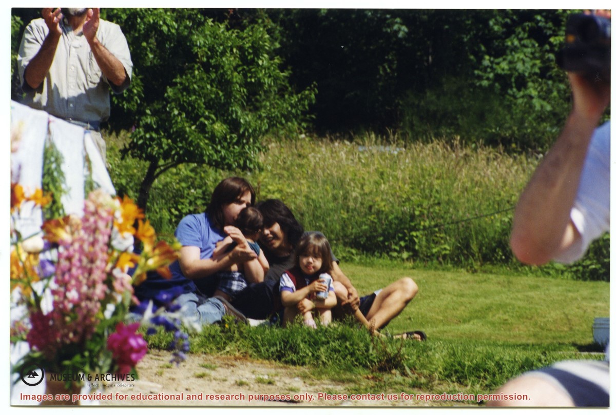
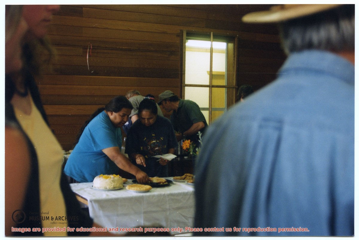
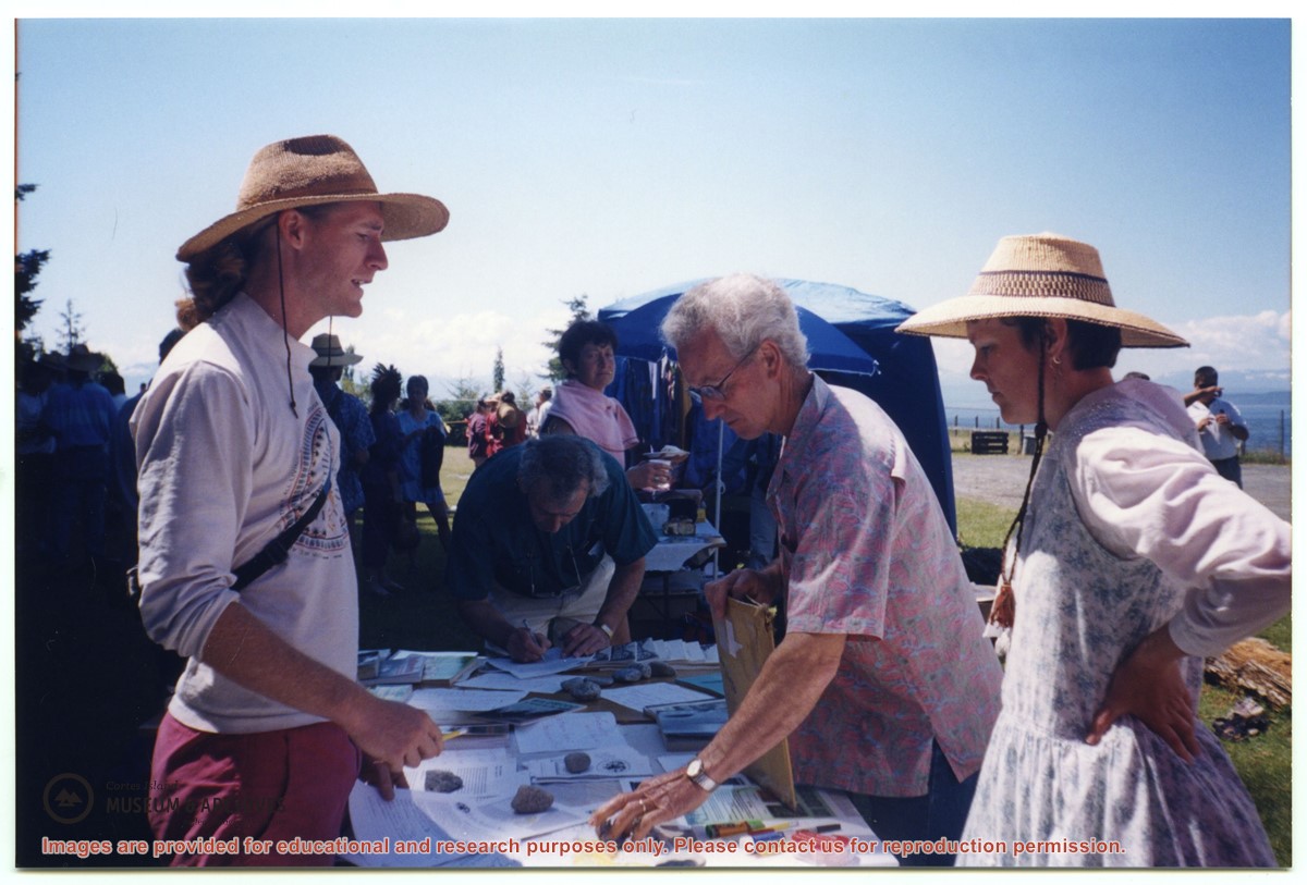
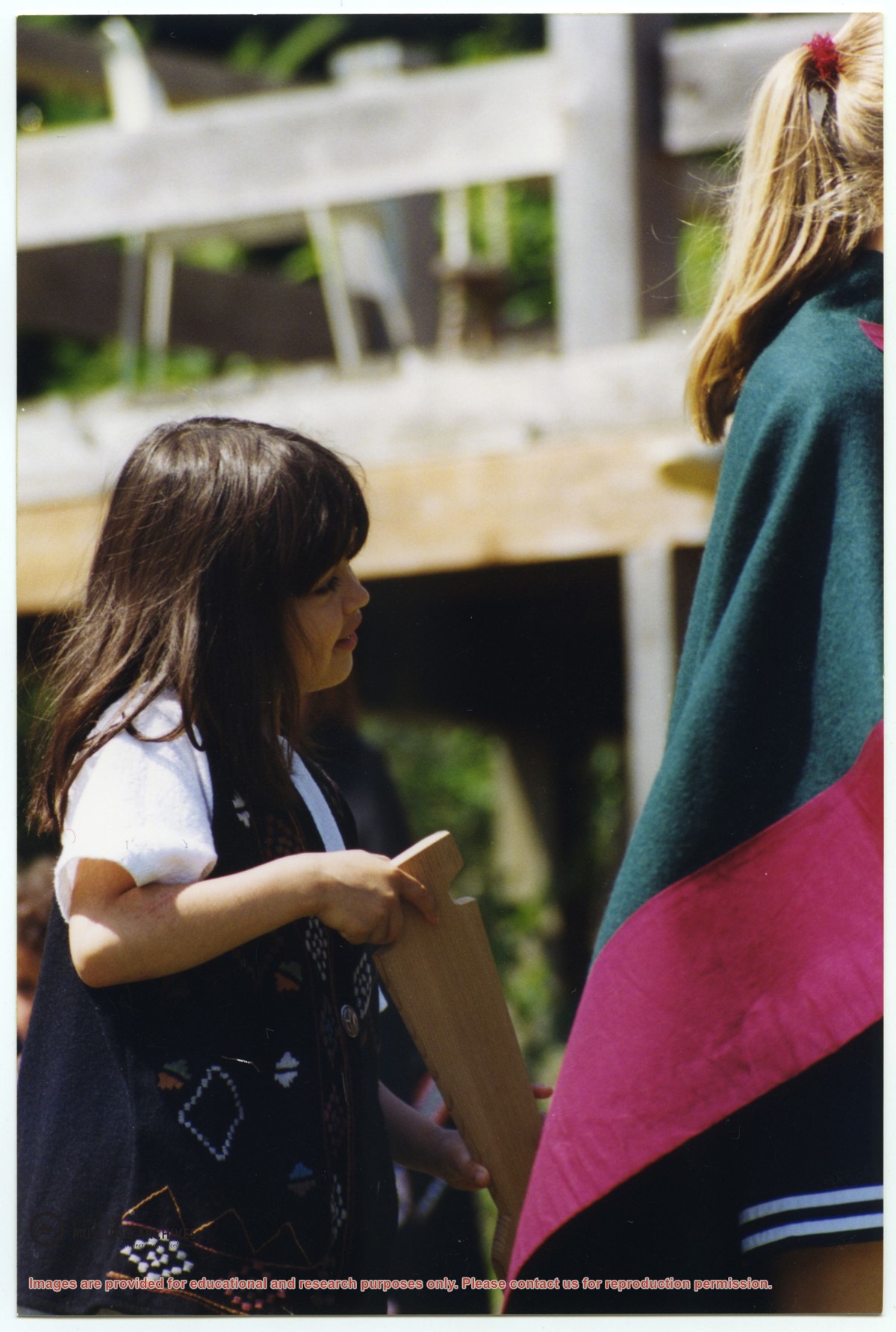
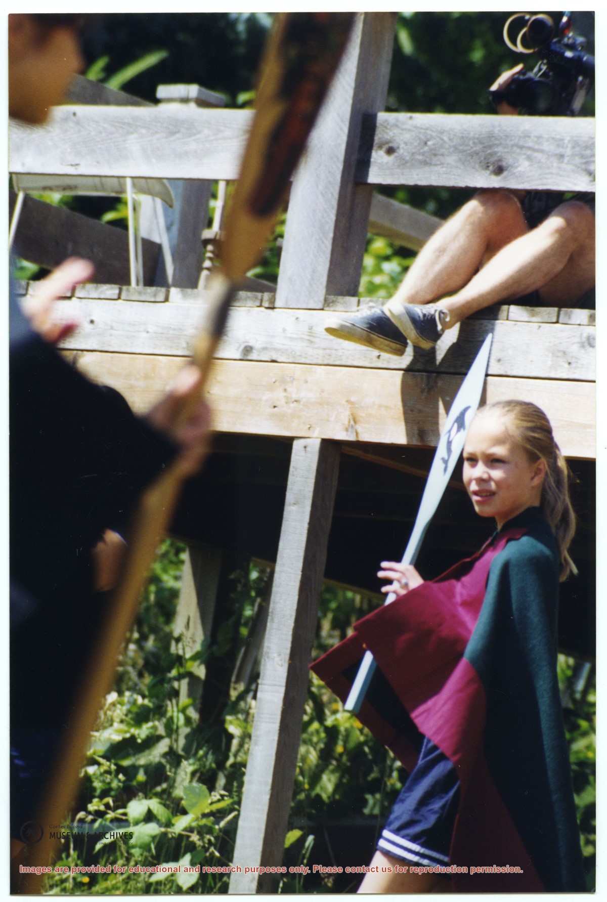
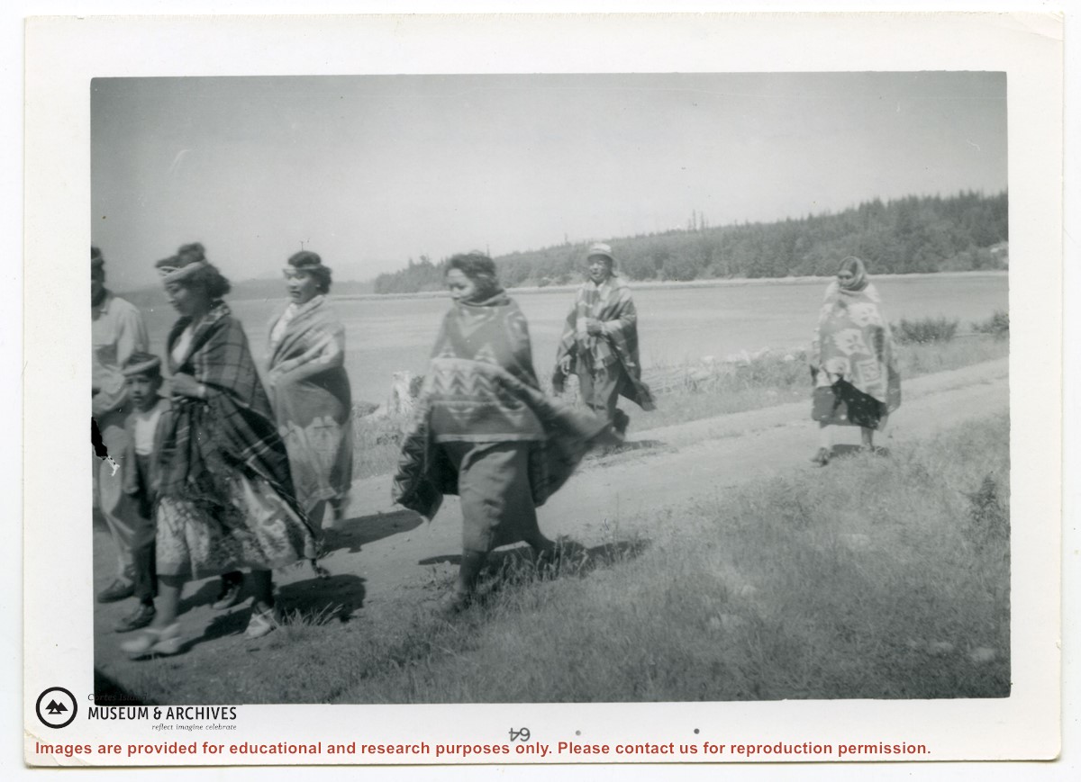
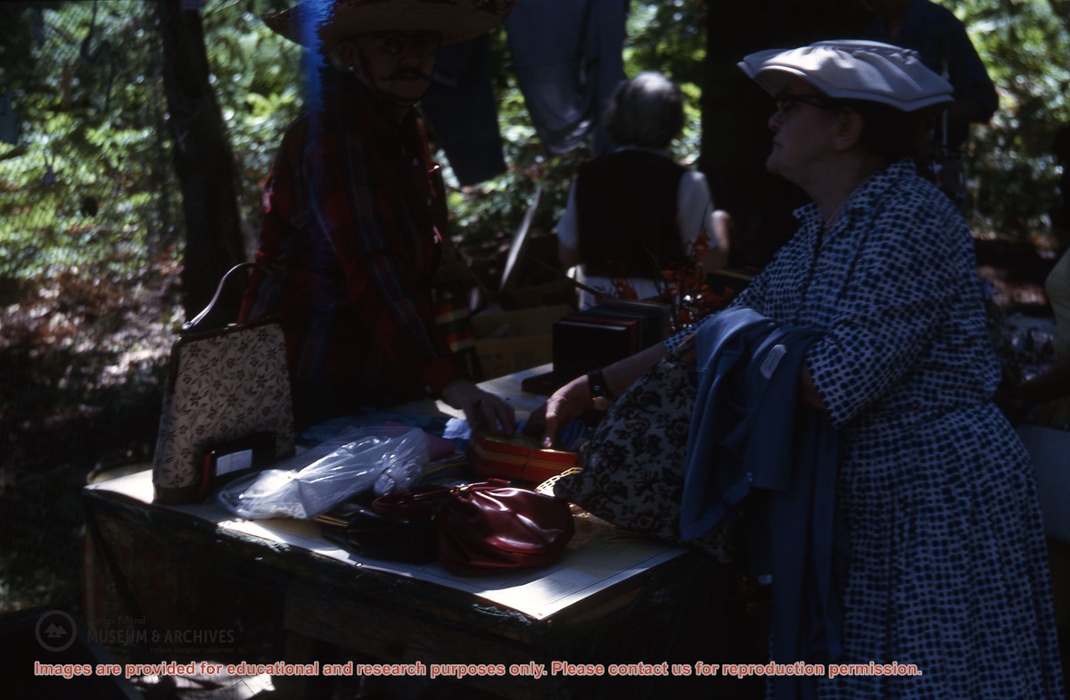
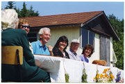
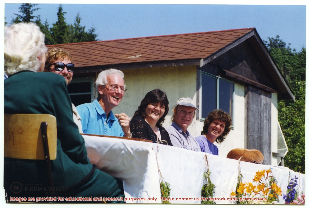
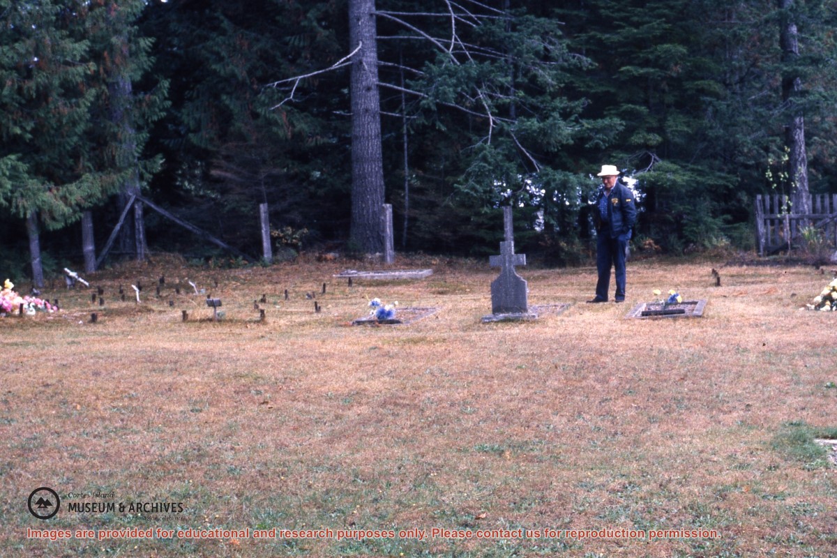
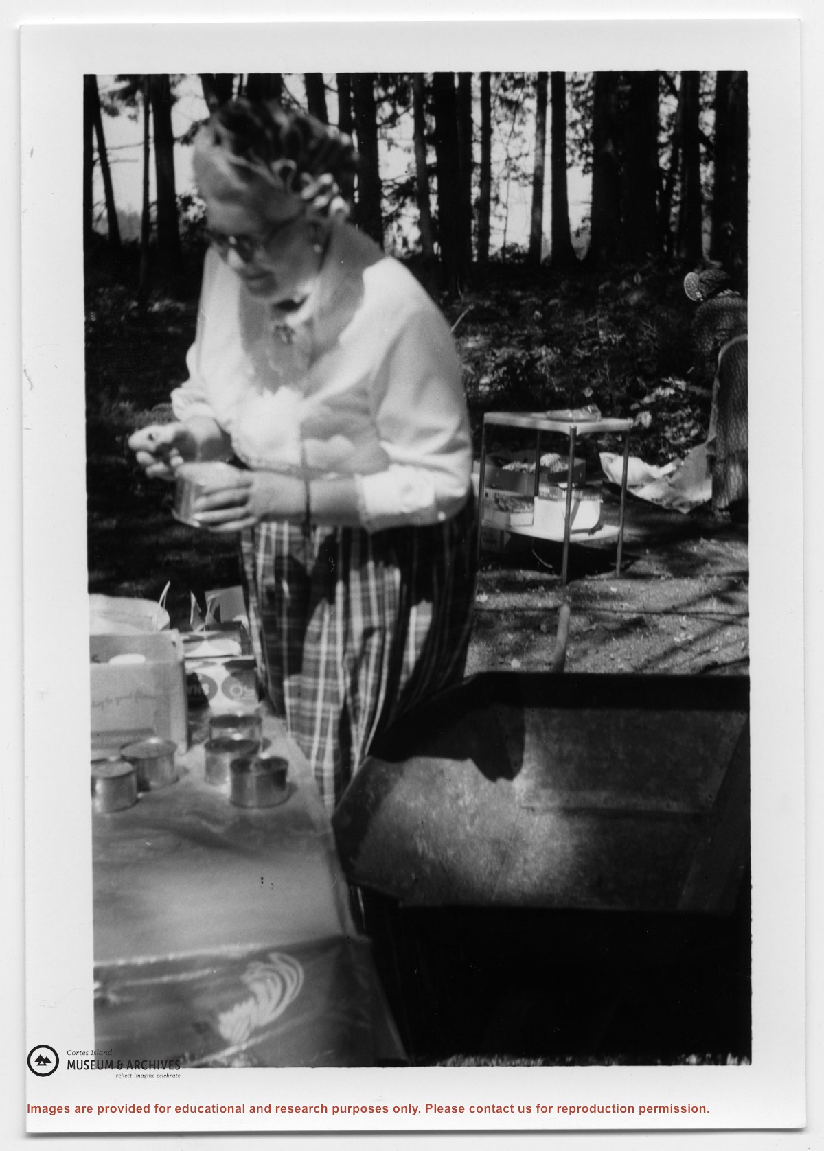
File contains text of the Memorandum of Understanding developed by Cortes Ecoforestry Society and Klahoose First Nation. Also includes twenty-nine (29) color photographic prints and eleven (11) color inkjet prints, which depict the signing of the MoU at Squirrel Cove and an Ecoforestry display at Smelt Bay. Photographs are stored in Photo Box #3.
File contains text of the Memorandum of Understanding developed by Cortes Ecoforestry Society and Klahoose First Nation. Also includes twenty-nine (29) color photographic prints and eleven (11) color inkjet prints, which depict the signing of the MoU at Squirrel Cove and an Ecoforestry display at Smelt Bay. Photographs are stored in Photo Box #3.
File contains title information and photocopies of land grants and subsequent conveyances for the following:
John Williams: 1914, Crown Grant for the fractional SW 1/4 of Sec 22 and fractional NW 1/4 of Sec 22 (east of Gorge Harbour entrance)
John Williams: 1914, Crown Grant for the fractional SW 1/4 of Sec 22 and frac. NW 1/4 of Sec 18 (west of the Gorge Harbour entrance)
File contains three oversize maps which are stored in the map cabinet: Map of Section 22, Plan VIP52378, Lots A,B,C (blueprint map; 85 cm x 54 cm, 1985); map of Plan 27966 (blueprint map; 55 cm x 43 cm, 1974); photocopy of map of fractional NW 1/4 Sec 17 (55 cm x 43 cm, 1973)
(Files 3 through 7 are from the same envelope.)
File contains a photocopied section map of the northern part of Cortes Island (from just south of Gorge Harbour), coloured to indicate areas for which a Crown Grant was located and areas of ungranted Crown land which still appear to be owned by the government. Scale is 1 mile to 1 inch.
File contains a photocopied section map of the northern part of Cortes Island (from just south of Gorge Harbour), coloured to indicate areas for which a Crown Grant was located and areas of ungranted Crown land which still appear to be owned by the government. Scale is 1 mile to 1 inch.