File contains a photocopied part of a map showing the locations of researched property in the Whaletown Lagoon and Whaletown Harbour area. The map is glued to an envelope which has a list of Crown grants and other conveyances on the back.
It contains photocopies of original land grants and other conveyances for the following:
Moses Ireland: 1893, Crown Grant for the W 1/2 of SW 1/4 of Sec 35 and W 1/2 of the SW 1/4 of Section 34
Joseph Youart: 1900, Crown Grant for Fractional NE 1/4 of Sec 35 (sold to Alice Robertson in 1908; "Burnside" is still in the Robertson family).
Nicholas Thompson: 1920, Crown Grant for the Fractional SW 1/4 of Sec 35
Charles Strange: 1914, Crown Grant for the NW 1/4 of Sec 35
File contains title information and photocopies of land grants and subsequent conveyances for the following:
John Williams: 1914, Crown Grant for the fractional SW 1/4 of Sec 22 and fractional NW 1/4 of Sec 22 (east of Gorge Harbour entrance)
John Williams: 1914, Crown Grant for the fractional SW 1/4 of Sec 22 and frac. NW 1/4 of Sec 18 (west of the Gorge Harbour entrance)
File contains three oversize maps which are stored in the map cabinet: Map of Section 22, Plan VIP52378, Lots A,B,C (blueprint map; 85 cm x 54 cm, 1985); map of Plan 27966 (blueprint map; 55 cm x 43 cm, 1974); photocopy of map of fractional NW 1/4 Sec 17 (55 cm x 43 cm, 1973)
(Files 3 through 7 are from the same envelope.)
File contains a photocopied section map of the northern part of Cortes Island (from just south of Gorge Harbour), coloured to indicate areas for which a Crown Grant was located and areas of ungranted Crown land which still appear to be owned by the government. Scale is 1 mile to 1 inch.
File contains a photocopied section map of the northern part of Cortes Island (from just south of Gorge Harbour), coloured to indicate areas for which a Crown Grant was located and areas of ungranted Crown land which still appear to be owned by the government. Scale is 1 mile to 1 inch.
File contains a map key to the areas of Sections 17, 18, 19, 22 and 34 (south of Gorge Harbour) which were researched (Information in Files 3-7).
It contains photocopies of original land grants and subsequent conveyances for the following:
Reginald James Smith: 1946, Crown Grant 165414I for fractional SE 1/4 of Sec 23, 1946 (the Thunder Road subdivision at the eastern end of Gorge Harbour).
(Files 3 through 7 are from the same envelope.)
File contains a coloured map with researched properties coloured in, and title information and photocopies of land grants and subsequent conveyances for the following:
Edward James Breeze: 1931, Crown Grant for District Lot 1373 (parts of Section 23 and Section 17, at the southeast end of Gorge Harbour by Anvil Lake)
Frank Harper: 1913, Crown Grant for the NE 96 acres of Section 23 (at the northeast end of Gorge Harbour)
(Files 3 through 7 are from the same envelope.)
This series consists of binders compiled by museum volunteers to document various aspects of Cortes Island history. The binders contain a mixture of photographs, correspondence and research.
This series consists of binders compiled by museum volunteers to document various aspects of Cortes Island history. The binders contain a mixture of photographs, correspondence and research.
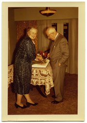
Page 2 - 4 photographs of Oliver and Mary Ward on Manson's Landing wharf; 1 photograph of a group of people on the wharf, including Eve Rickenbacker and Maurice Dronsfield.
Page 2 - 4 photographs of Oliver and Mary Ward on Manson's Landing wharf; 1 photograph of a group of people on the wharf, including Eve Rickenbacker and Maurice Dronsfield.
Page 2 - 4 photographs of Oliver and Mary Ward on Manson's Landing wharf; 1 photograph of a group of people on the wharf, including Eve Rickenbacker and Maurice Dronsfield.
Page 2 - 4 photographs of Oliver and Mary Ward on Manson's Landing wharf; 1 photograph of a group of people on the wharf, including Eve Rickenbacker and Maurice Dronsfield.
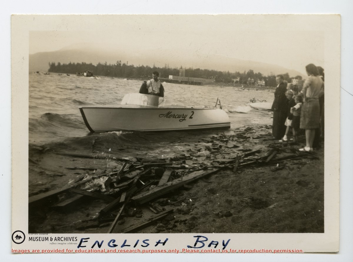
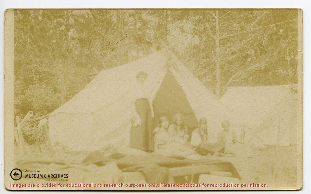
Series consists of one photograph album containing 329 black and white photographs with captions, dating from 1922 to 1924. The photographs depict Dorothy Huck, friends and family, on Cortes and in Saskatchewan. There are also some commercial photographs of the Rocky Mountains.
Edges of the cover are frayed; the first five, the eighth and the last four pages are broken along the fold and are loose. The photographs are glued onto the black cardboard pages and show signs of rippling, creasing, dirt and wear but most of the images are very clear. Some of the pictures are loose or missing.
Scope and Content
Series consists of one photograph album containing 329 black and white photographs with captions, dating from 1922 to 1924. The photographs depict Dorothy Huck, friends and family, on Cortes and in Saskatchewan. There are also some commercial photographs of the Rocky Mountains.
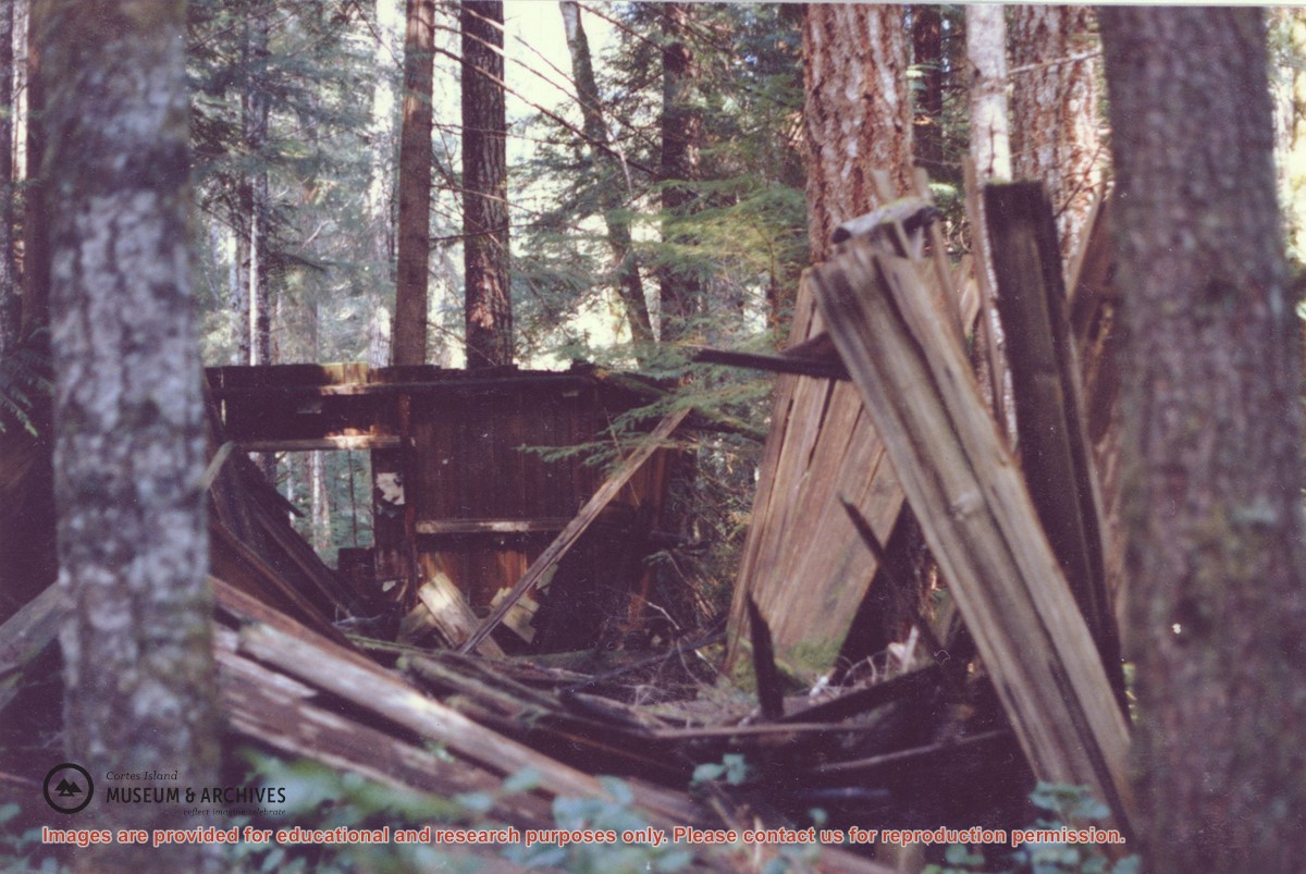
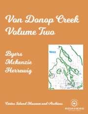
Binder contains interviews, stories and pictures. Binder contains interviews, stories and pictures. It was created in 2001 as part of the exhibit "The Von Donop Creek Story - 1920-1960", curated and mounted by Doreen Thompson.
Binder contains interviews, stories and pictures. Binder contains interviews, stories and pictures. It was created in 2001 as part of the exhibit "The Von Donop Creek Story - 1920-1960", curated and mounted by Doreen Thompson.