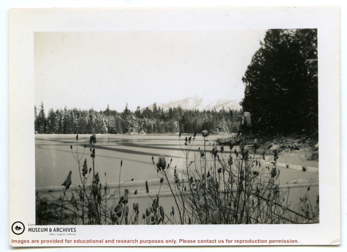
File contains a photocopied part of a map showing the locations of researched property in the Whaletown Lagoon and Whaletown Harbour area. The map is glued to an envelope which has a list of Crown grants and other conveyances on the back.
It contains photocopies of original land grants and other conveyances for the following:
Moses Ireland: 1893, Crown Grant for the W 1/2 of SW 1/4 of Sec 35 and W 1/2 of the SW 1/4 of Section 34
Joseph Youart: 1900, Crown Grant for Fractional NE 1/4 of Sec 35 (sold to Alice Robertson in 1908; "Burnside" is still in the Robertson family).
Nicholas Thompson: 1920, Crown Grant for the Fractional SW 1/4 of Sec 35
Charles Strange: 1914, Crown Grant for the NW 1/4 of Sec 35
File contains title information and photocopies of land grants and subsequent conveyances for the following:
John Williams: 1914, Crown Grant for the fractional SW 1/4 of Sec 22 and fractional NW 1/4 of Sec 22 (east of Gorge Harbour entrance)
John Williams: 1914, Crown Grant for the fractional SW 1/4 of Sec 22 and frac. NW 1/4 of Sec 18 (west of the Gorge Harbour entrance)
File contains three oversize maps which are stored in the map cabinet: Map of Section 22, Plan VIP52378, Lots A,B,C (blueprint map; 85 cm x 54 cm, 1985); map of Plan 27966 (blueprint map; 55 cm x 43 cm, 1974); photocopy of map of fractional NW 1/4 Sec 17 (55 cm x 43 cm, 1973)
(Files 3 through 7 are from the same envelope.)
File contains a photocopied section map of the northern part of Cortes Island (from just south of Gorge Harbour), coloured to indicate areas for which a Crown Grant was located and areas of ungranted Crown land which still appear to be owned by the government. Scale is 1 mile to 1 inch.
File contains a photocopied section map of the northern part of Cortes Island (from just south of Gorge Harbour), coloured to indicate areas for which a Crown Grant was located and areas of ungranted Crown land which still appear to be owned by the government. Scale is 1 mile to 1 inch.
From the "Out of the Archives" program: "The diverse history of life on yet another island, Papua New Guinea, is revealed in this 40 minute feature documentary. Often wrongly portrayed as "primitive," George attempts to show that the Papuans are indeed modern in their culture and innovation as successfully brought them to the present. This documentary was shot in Mount Hagen, Papua New Guinea, in 1981. A hunting expedition is followed by rare candid footage of a celebratory "Sing-Sing". Permission to film these timeless momnts was acquired and gratefully acknowledged. Shot on Super 8 film with the assistance and perseverance of Isolde Rutheberg."
From the "Out of the Archives" program: "The diverse history of life on yet another island, Papua New Guinea, is revealed in this 40 minute feature documentary. Often wrongly portrayed as "primitive," George attempts to show that the Papuans are indeed modern in their culture and innovation as successfully brought them to the present. This documentary was shot in Mount Hagen, Papua New Guinea, in 1981. A hunting expedition is followed by rare candid footage of a celebratory "Sing-Sing". Permission to film these timeless momnts was acquired and gratefully acknowledged. Shot on Super 8 film with the assistance and perseverance of Isolde Rutheberg."
File contains a map key to the areas of Sections 17, 18, 19, 22 and 34 (south of Gorge Harbour) which were researched (Information in Files 3-7).
It contains photocopies of original land grants and subsequent conveyances for the following:
Reginald James Smith: 1946, Crown Grant 165414I for fractional SE 1/4 of Sec 23, 1946 (the Thunder Road subdivision at the eastern end of Gorge Harbour).
(Files 3 through 7 are from the same envelope.)
File contains a coloured map with researched properties coloured in, and title information and photocopies of land grants and subsequent conveyances for the following:
Edward James Breeze: 1931, Crown Grant for District Lot 1373 (parts of Section 23 and Section 17, at the southeast end of Gorge Harbour by Anvil Lake)
Frank Harper: 1913, Crown Grant for the NE 96 acres of Section 23 (at the northeast end of Gorge Harbour)
(Files 3 through 7 are from the same envelope.)
The base map is a zoning map produced by the Regional District of Comox-
Strathcona for the Cortes Island Land Use Project (Aug 1969). Edwards used
coloured pencil to show land and foreshore zones, and transferred information
about early preemptions and old roads and trails from an earlier map (see
Donald Palmer fonds, 2020.002.011, map of Cortes Island, Sayward District, ca.
1915).
From the "Out of the Archives" program: "In this documentary a rag-tag team of Cortes wreckers demolish a giant warehouse in James Bay, Victoria. The remove 100-year old maple flooring, which is bound for Cortes, while the building falls down around them. They have to get the flooring out before the bulldozers arrive! Shot on 16 mm film."
Cast: Pierre deTrey, Stephen Foster, Al Murray, John Wasyliw
From the "Out of the Archives" program: "A play on the work "divot" - "a piece of turf cut out of the ground by a golf club in making a stroke." The golfer who does this, according to George, is a "divotee" and this silly game needed a large dose of extra silliness doused on it. The attempt to just shoot one hole takes George and his caddy more on a cross-country steeplechase that a casual day on the course. Puns abound and the Voice of Doom, played by John Gregg, gets it in the end Watch for it! Shot at Gorge Harbour on 16mm."
Cast: Jon Gregg, Leon, George and a horse
Stagehand/Props: Jim Palmer
Cinematography: John Gregg
File contains zoning maps for Bylaw 41, Electoral Area I, Schedules A1-A7 with revisions to 1999. There is a map of the whole island and larger scale maps of island areas.
File contains Plan Map Schedule A-1, Development Proposal Referral forms about changing the zoning bylaw designations to reflect the Official Community Plan of 1995, the agenda for an APC meeting and photocopies of FOCI/CIFC maps of Cortes Island land tenure.
File contains Plan Map Schedule A-1, Development Proposal Referral forms about changing the zoning bylaw designations to reflect the Official Community Plan of 1995, the agenda for an APC meeting and photocopies of FOCI/CIFC maps of Cortes Island land tenure.
File contains correspondence re Aquaculture bylaw #2300, a draft Cortes Island zoning bylaw (2001), and a map, the Official Community Plan Map Schedule A, 1993 and Bylaw 1896 to amend the OCP if 1995.
File contains correspondence re Aquaculture bylaw #2300, a draft Cortes Island zoning bylaw (2001), and a map, the Official Community Plan Map Schedule A, 1993 and Bylaw 1896 to amend the OCP if 1995.