File contains a copy of the bylaw and map of 1995, a summary of the changes (meant to reconcile 25 year gap between the previous zoning bylaws and the current OCP), and a completion and adoption strategy.
File contains a copy of the bylaw and map of 1995, a summary of the changes (meant to reconcile 25 year gap between the previous zoning bylaws and the current OCP), and a completion and adoption strategy.
Series consists of materials relating to the Cortes Island Official Community Plan (OCP) and the Zoning Bylaw. It includes copies of the first and second Official Community Plans (1979 and 1995) and the first and second Zoning Bylaws (1970 and 2002). There are materials from an OCP revision (1992 -1995) and a Zoning Bylaw revision (ca. 1998-2003) including annotated draft copies, detailed APC commentary, correspondence, background materials and minutes of public meetings; Plan Maps and maps of Cortes properties.
?? cm of textual records; 4 cerlox-bound map books
Scope and Content
Series consists of materials relating to the Cortes Island Official Community Plan (OCP) and the Zoning Bylaw. It includes copies of the first and second Official Community Plans (1979 and 1995) and the first and second Zoning Bylaws (1970 and 2002). There are materials from an OCP revision (1992 -1995) and a Zoning Bylaw revision (ca. 1998-2003) including annotated draft copies, detailed APC commentary, correspondence, background materials and minutes of public meetings; Plan Maps and maps of Cortes properties.
The base map is a zoning map produced by the Regional District of Comox-
Strathcona for the Cortes Island Land Use Project (Aug 1969). Edwards used
coloured pencil to show land and foreshore zones, and transferred information
about early preemptions and old roads and trails from an earlier map (see
Donald Palmer fonds, 2020.002.011, map of Cortes Island, Sayward District, ca.
1915).
Series consists of a hand drawn map of Cortes Island showing places of interest to visitors, maps showing the location of hydro distribution lines on Cortes Island, maps related to zoning and rezoning on Cortes Island, the Official Settlement Plan, and a drawing showing an engineering plan for the Whaletown ferry terminal.
Series consists of a hand drawn map of Cortes Island showing places of interest to visitors, maps showing the location of hydro distribution lines on Cortes Island, maps related to zoning and rezoning on Cortes Island, the Official Settlement Plan, and a drawing showing an engineering plan for the Whaletown ferry terminal.
File contains zoning maps for Bylaw 41, Electoral Area I, Schedules A1-A7 with revisions to 1999. There is a map of the whole island and larger scale maps of island areas.
File contains a photocopied section map of the northern part of Cortes Island (from just south of Gorge Harbour), coloured to indicate areas for which a Crown Grant was located and areas of ungranted Crown land which still appear to be owned by the government. Scale is 1 mile to 1 inch.
File contains a photocopied section map of the northern part of Cortes Island (from just south of Gorge Harbour), coloured to indicate areas for which a Crown Grant was located and areas of ungranted Crown land which still appear to be owned by the government. Scale is 1 mile to 1 inch.
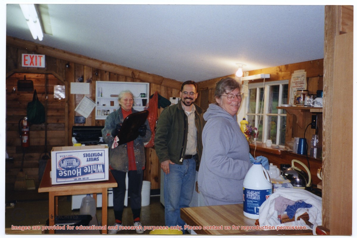
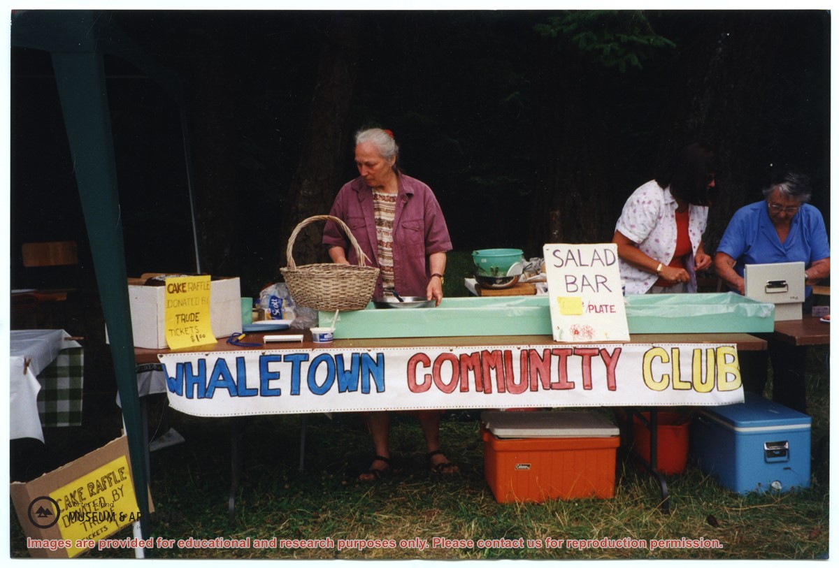
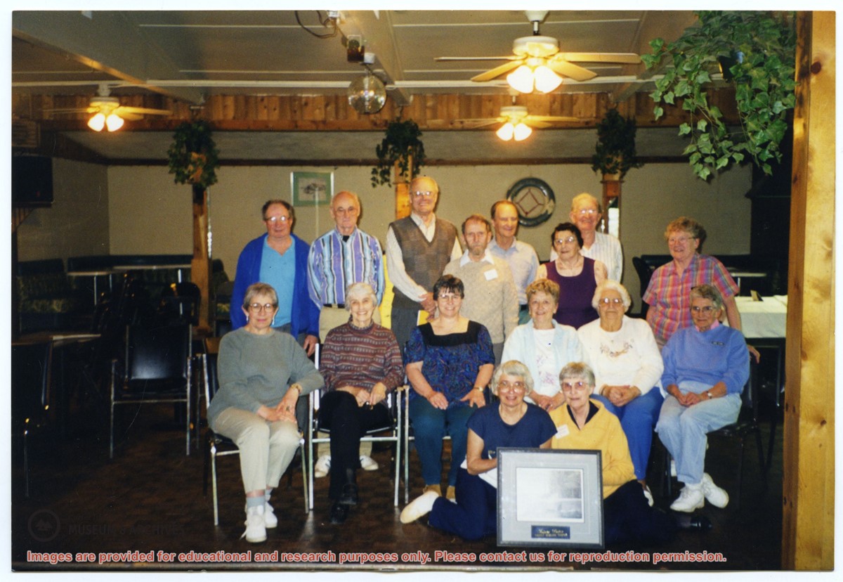
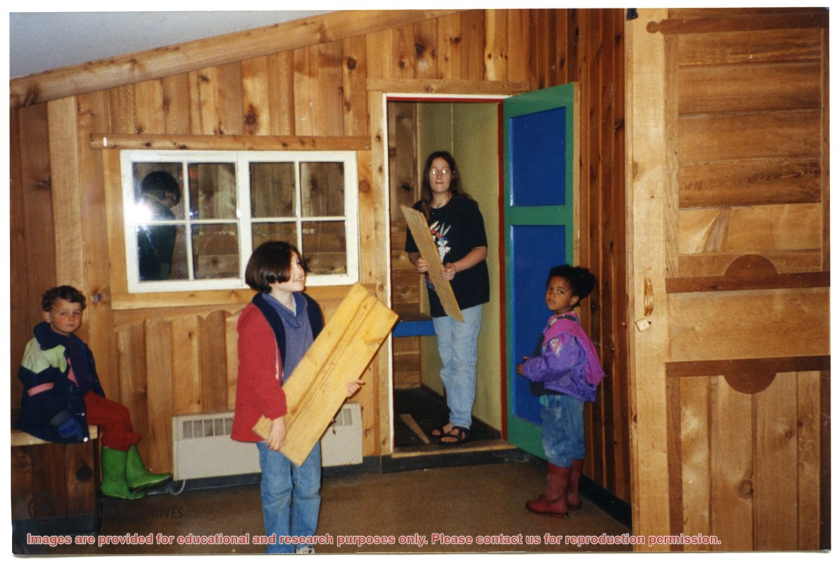
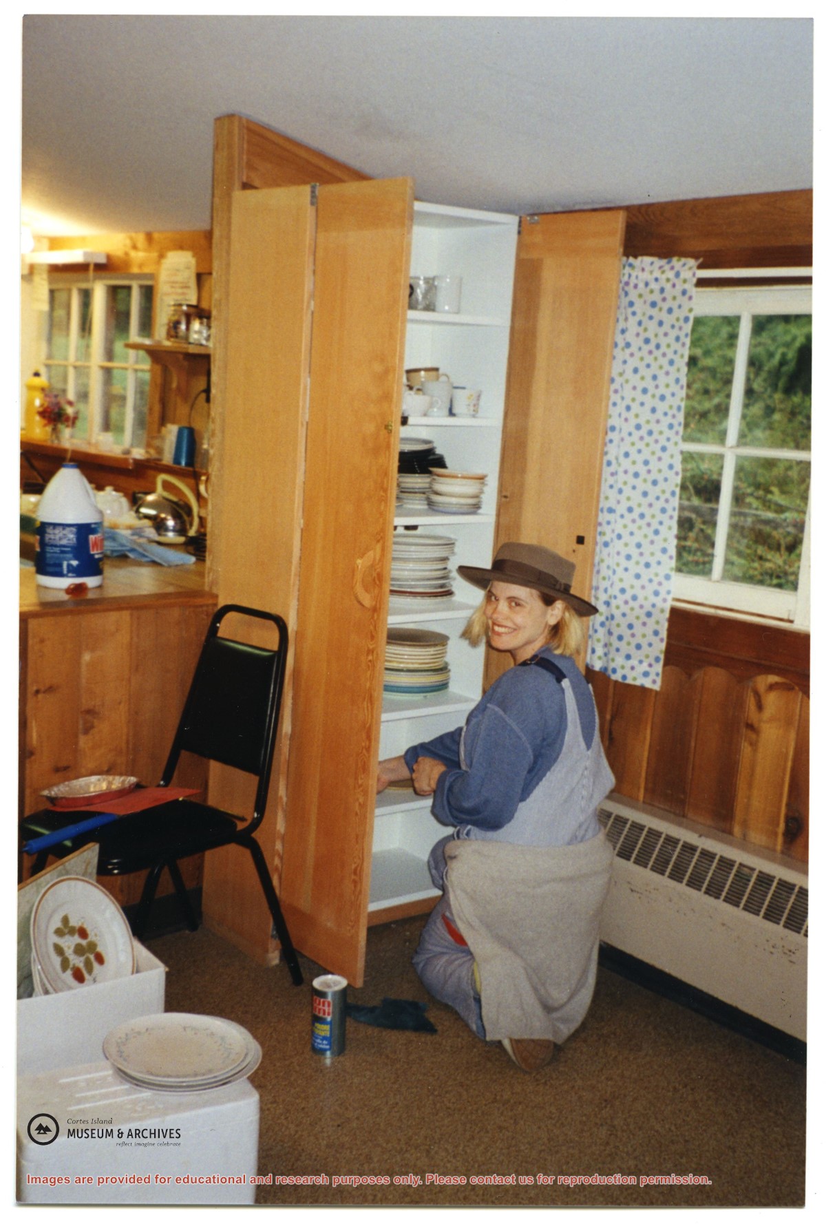
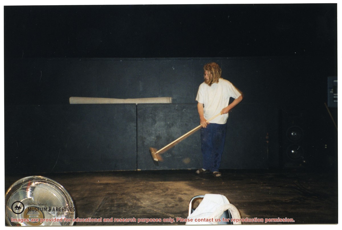
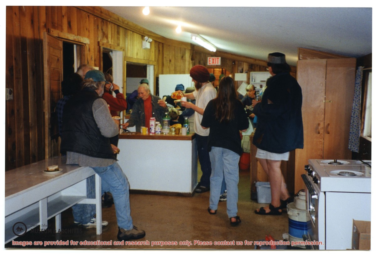
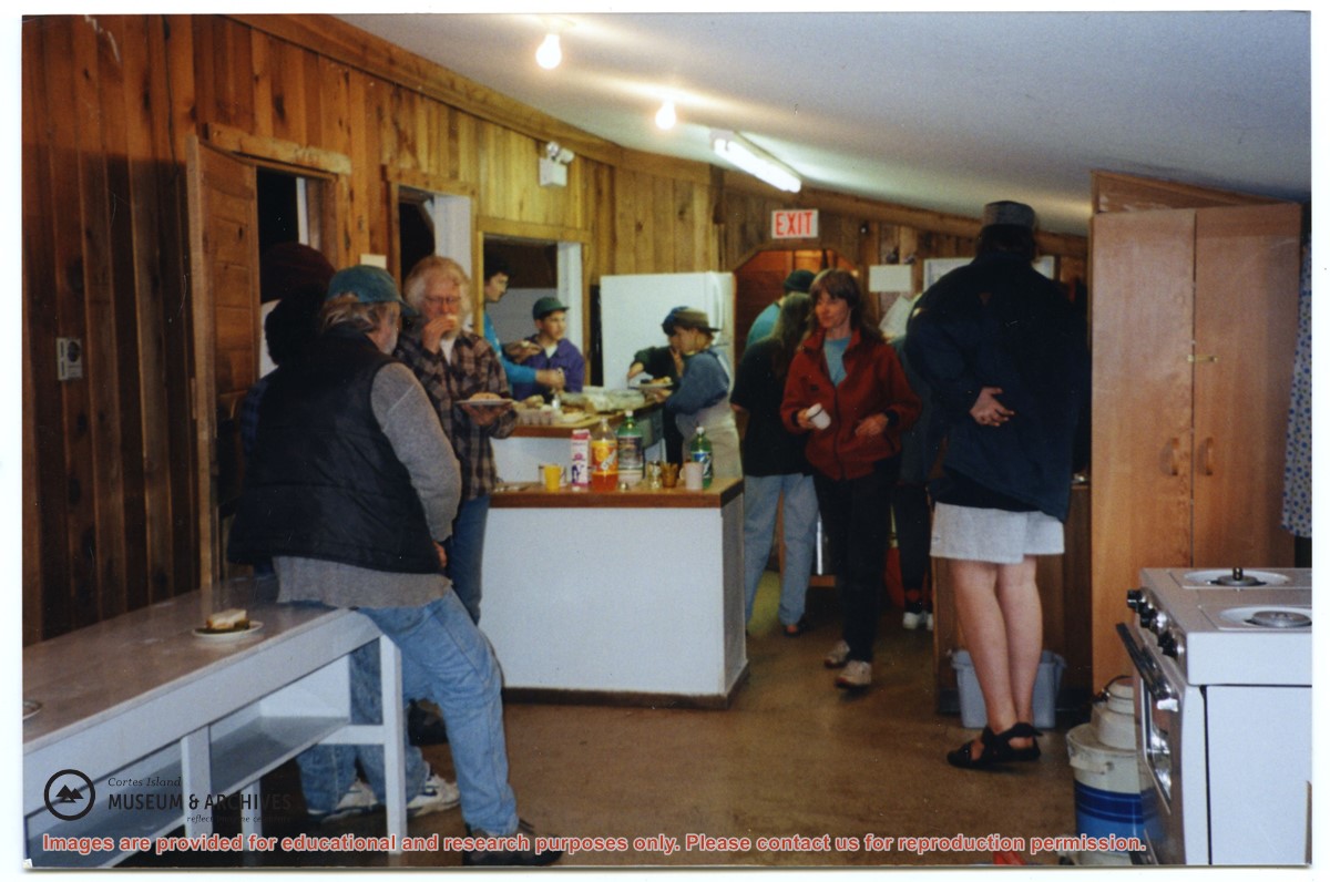
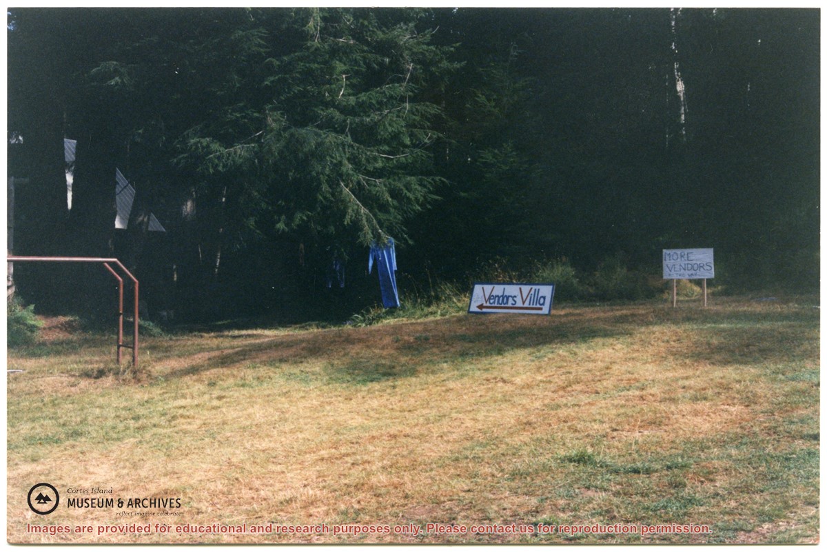
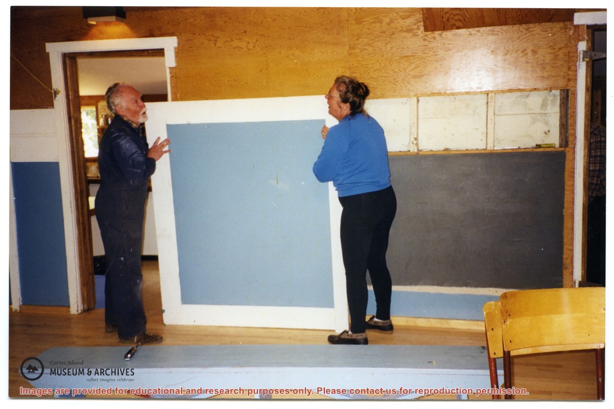
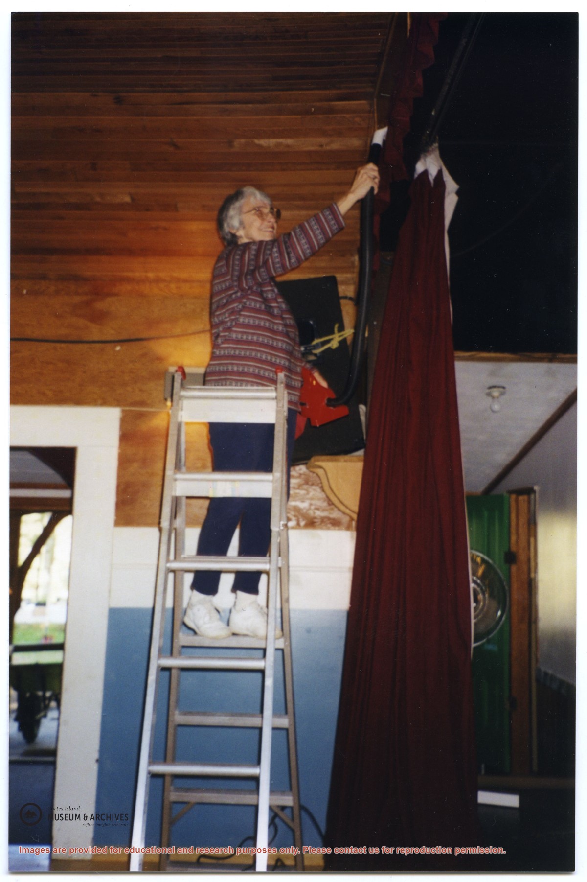
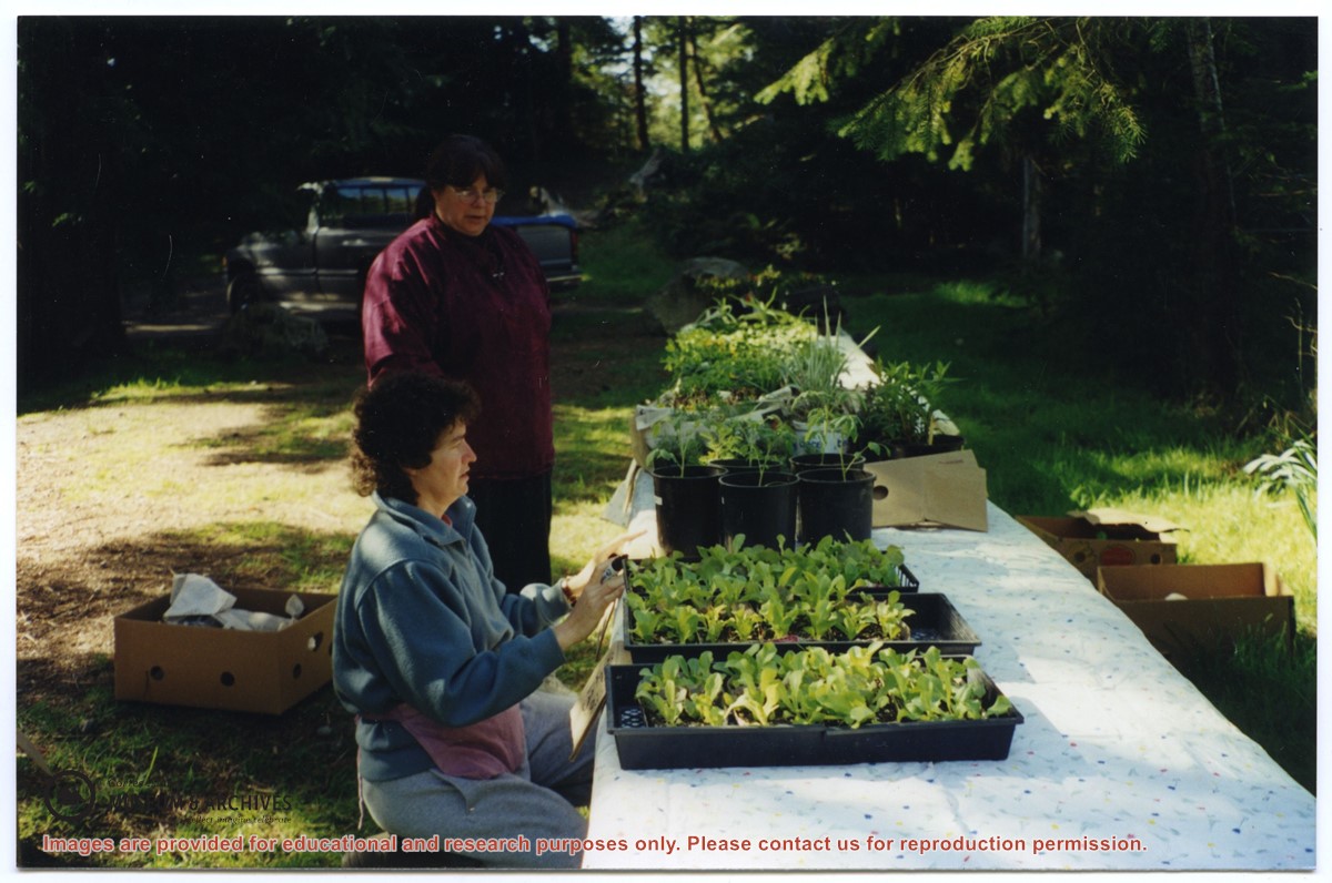
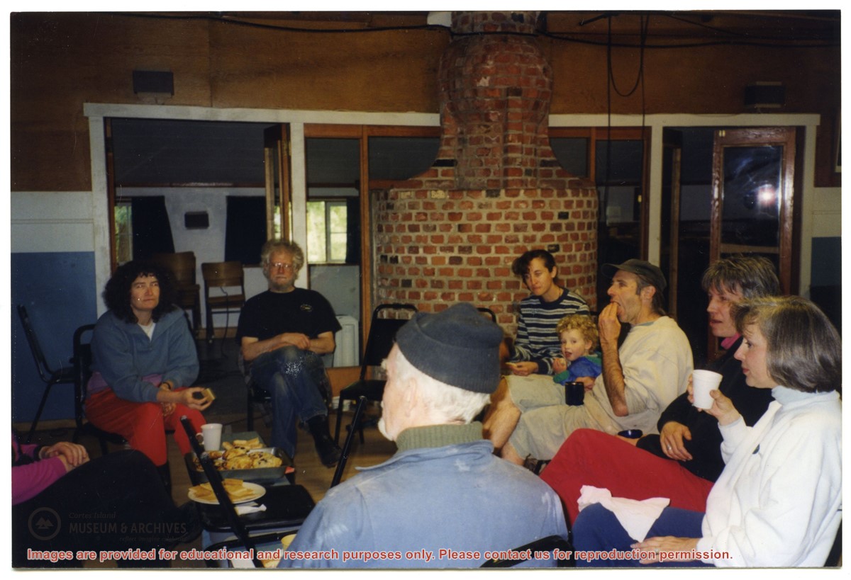
Series consists of photographs depicting various Whaletown Community Club activities. The photographs are arranged by date and subject matter, and are described and stored in groups.
Series consists of photographs depicting various Whaletown Community Club activities. The photographs are arranged by date and subject matter, and are described and stored in groups.
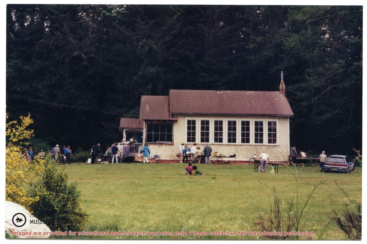
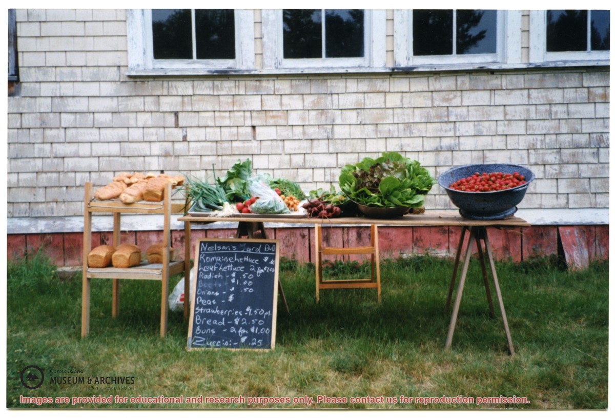
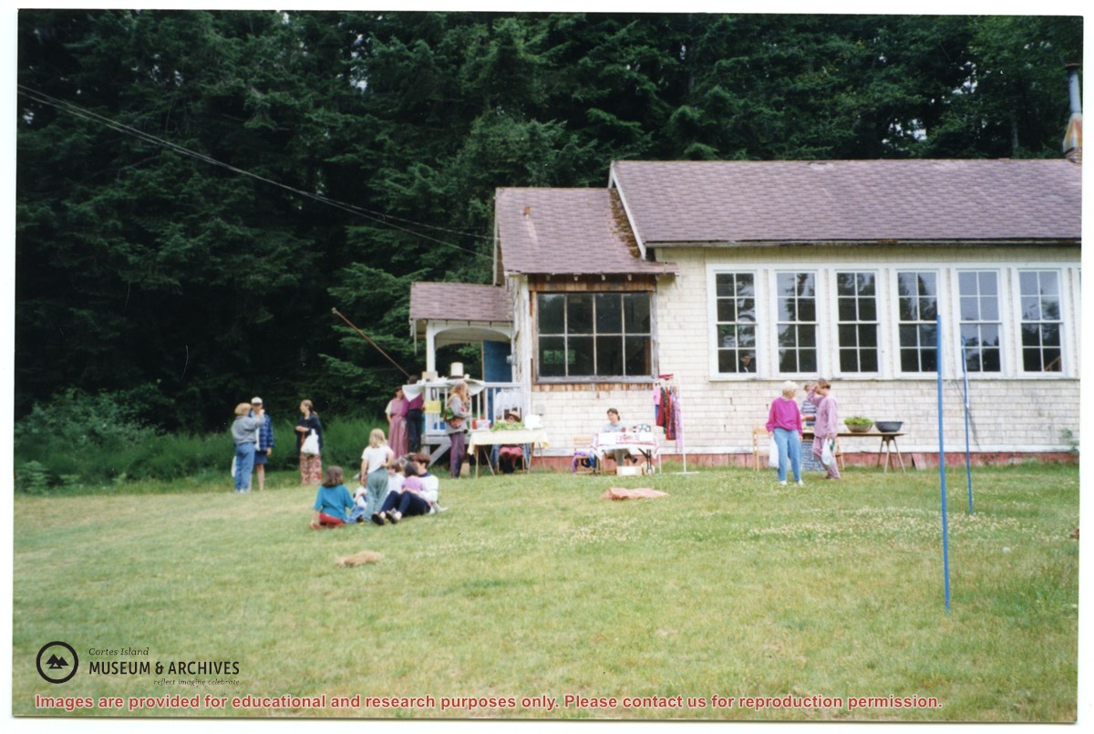
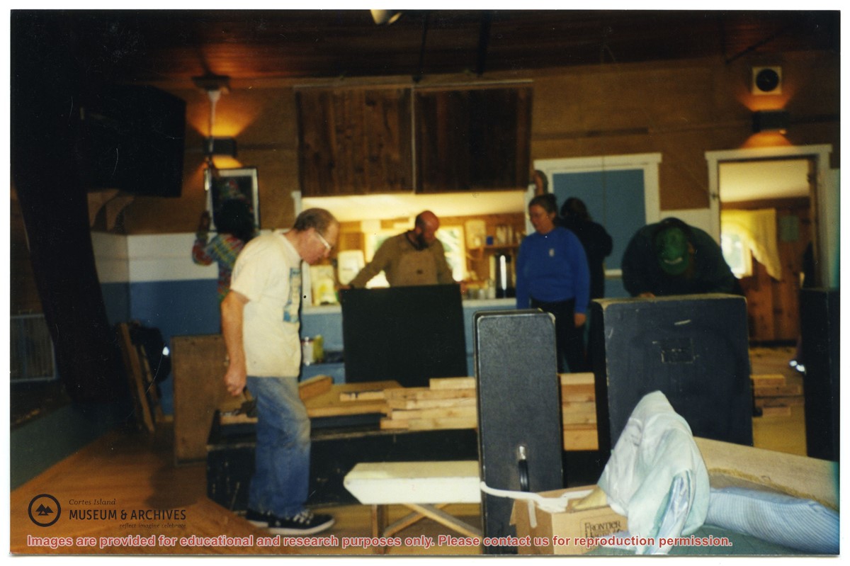
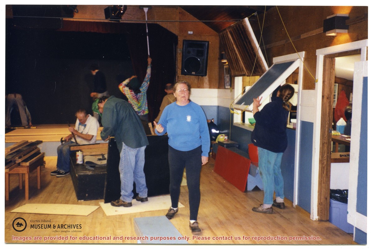
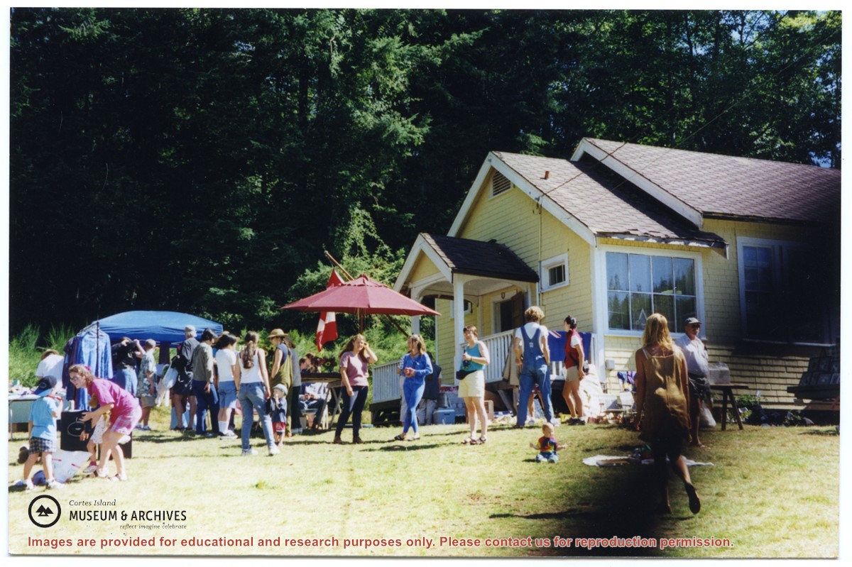
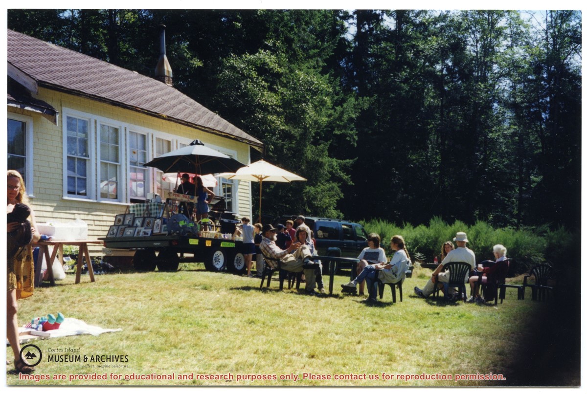
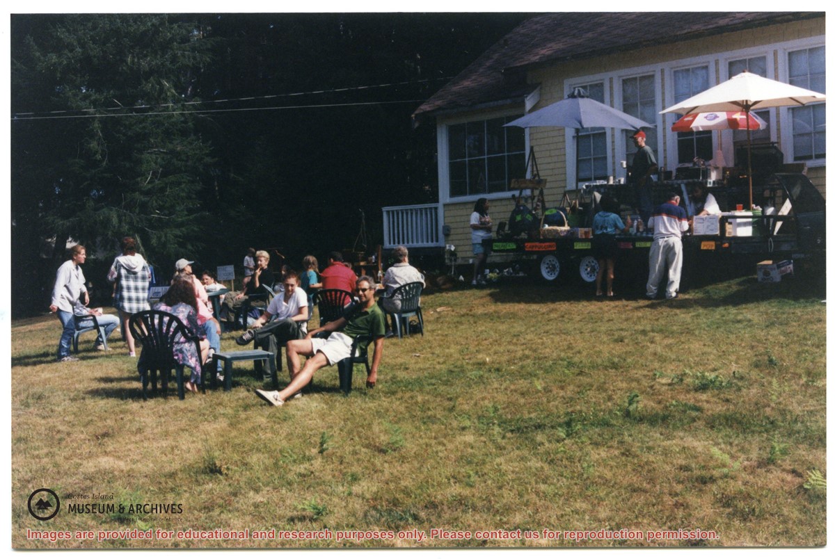
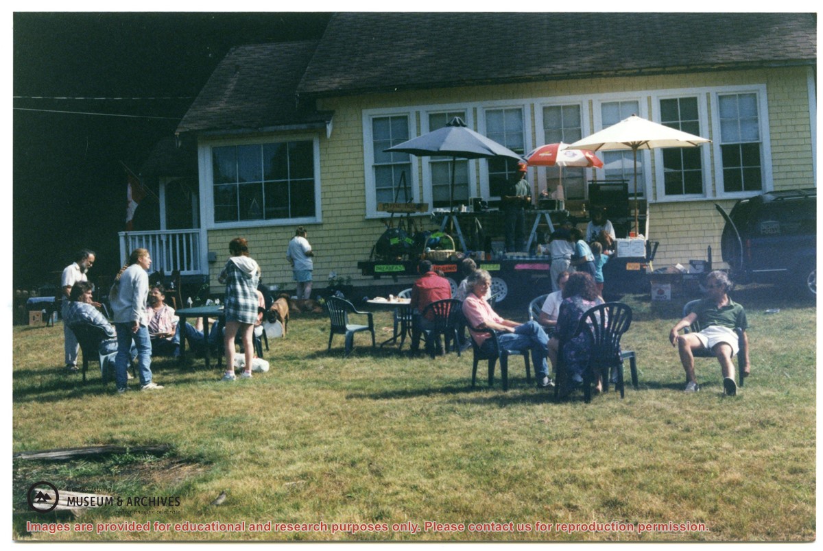
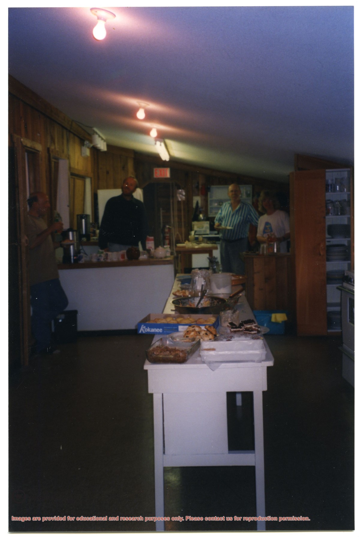
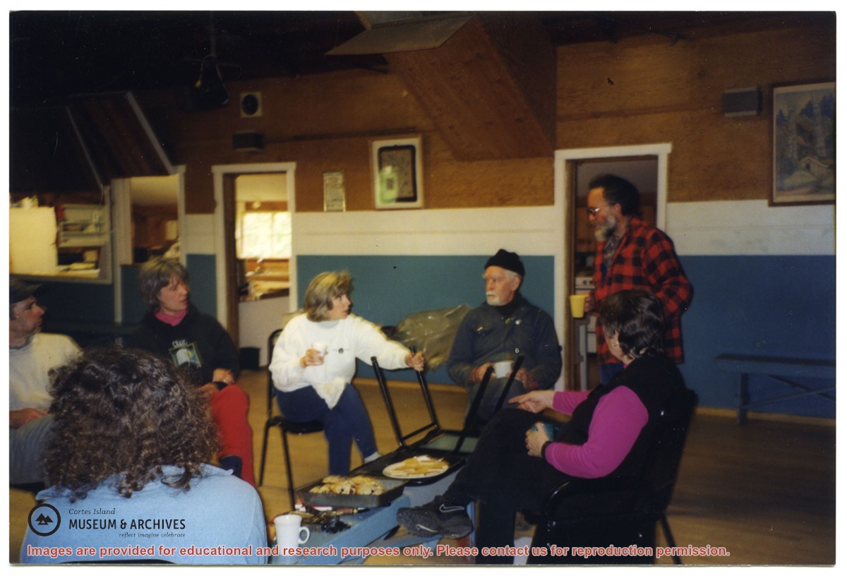
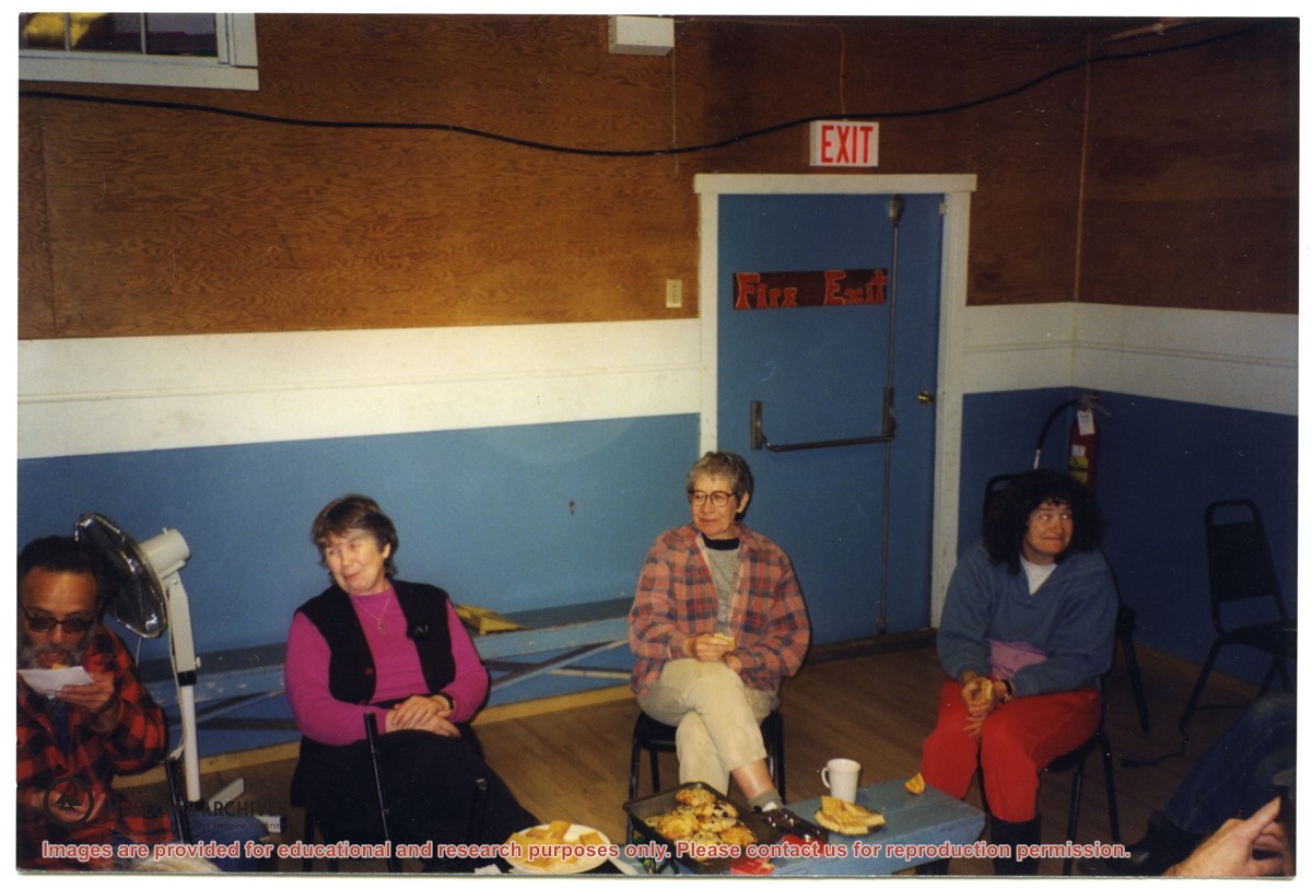
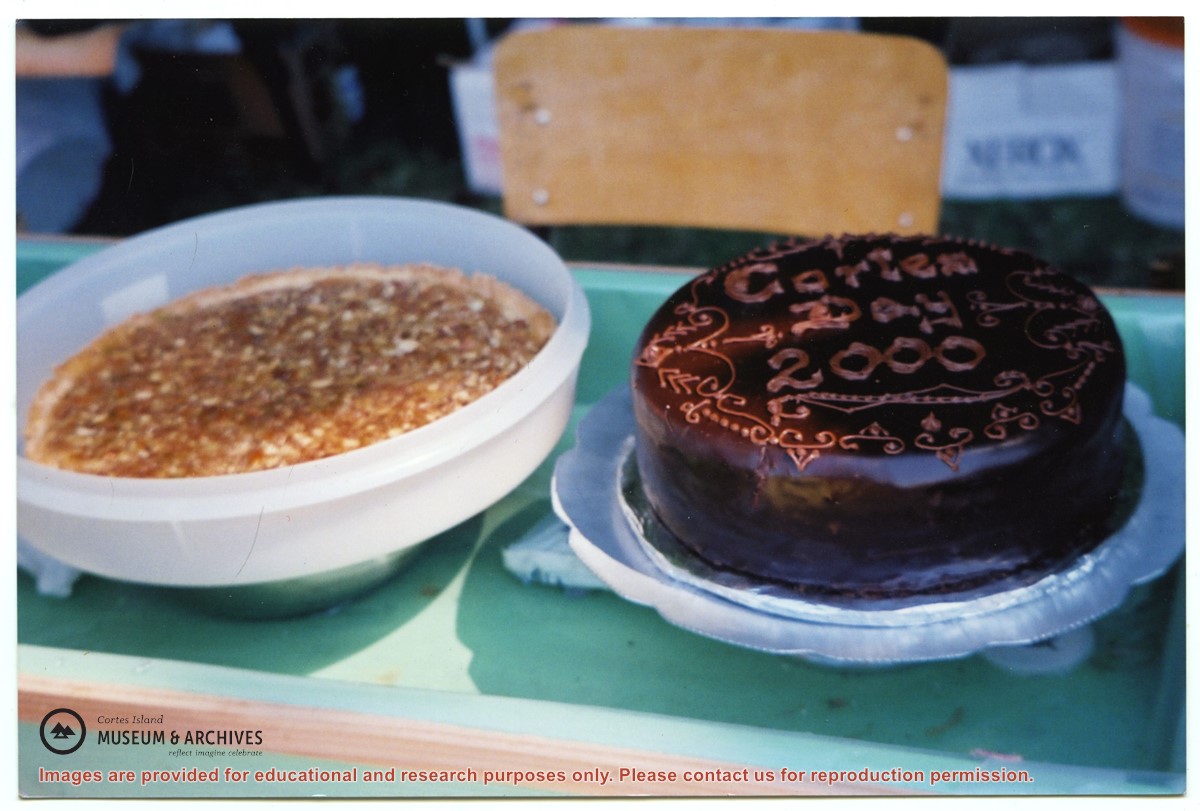
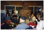
File contains photographs of a work bee at the Gorge Hall, bowling groups from Quadra and Cortes, people outside the old Whaletown school, and the Cortes Day salad bar (with Trude Sweeny).
File contains photographs of a work bee at the Gorge Hall, bowling groups from Quadra and Cortes, people outside the old Whaletown school, and the Cortes Day salad bar (with Trude Sweeny).
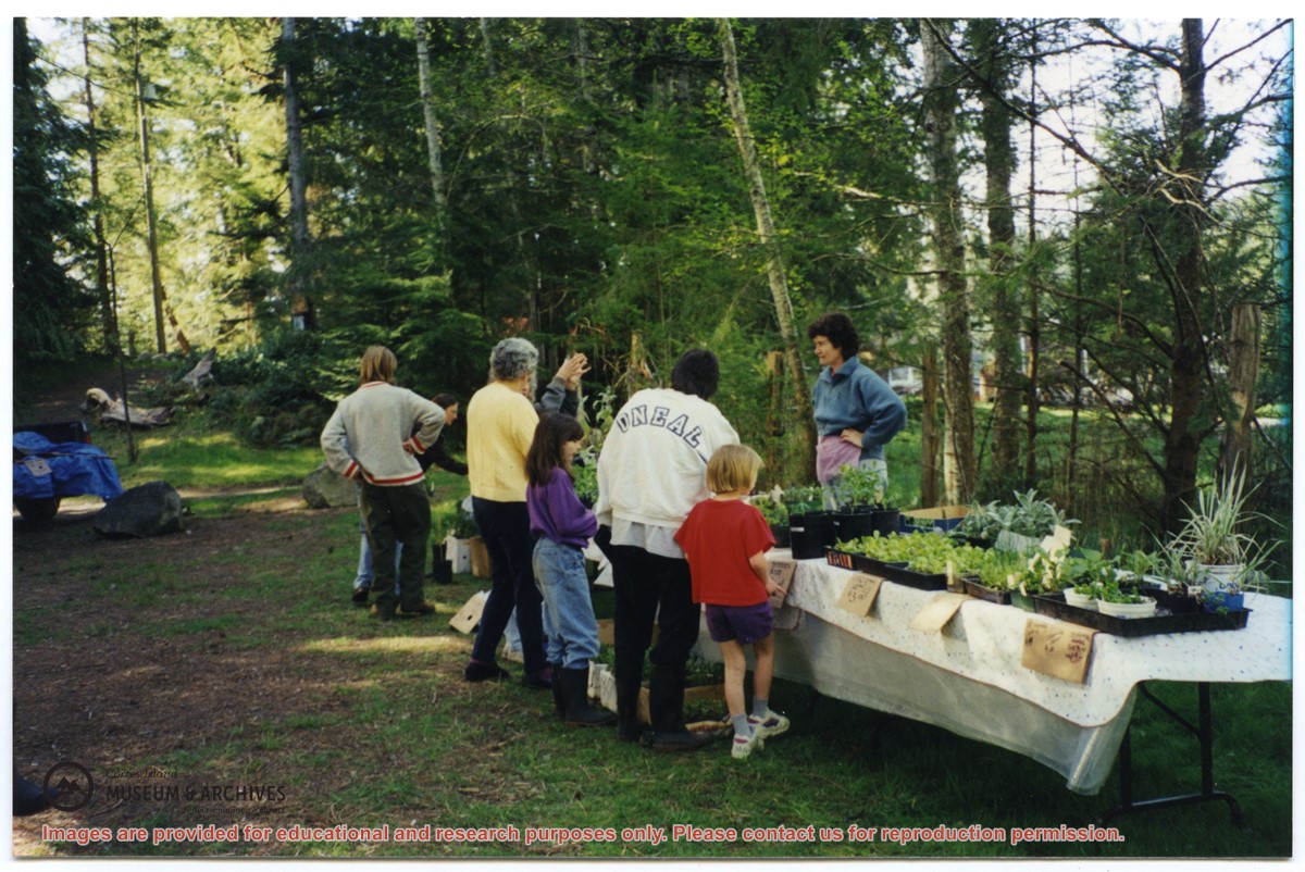
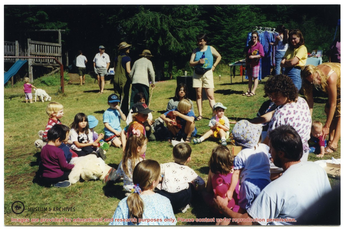
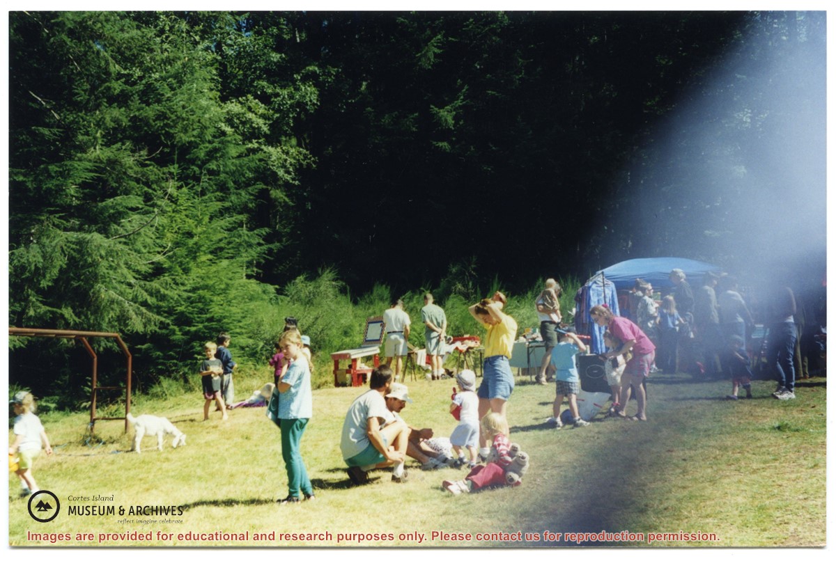
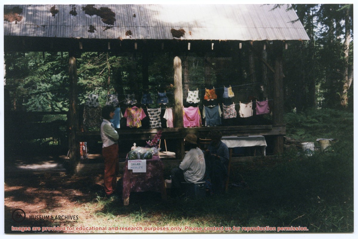
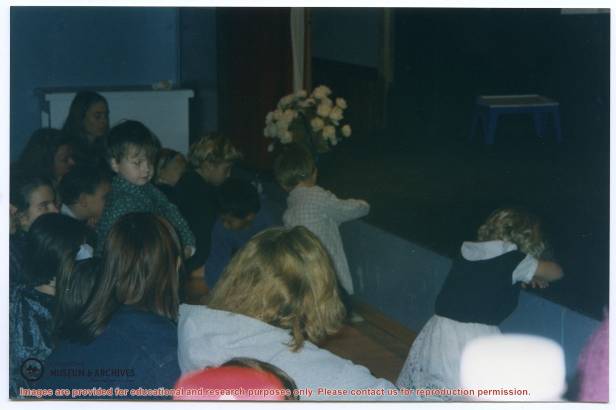
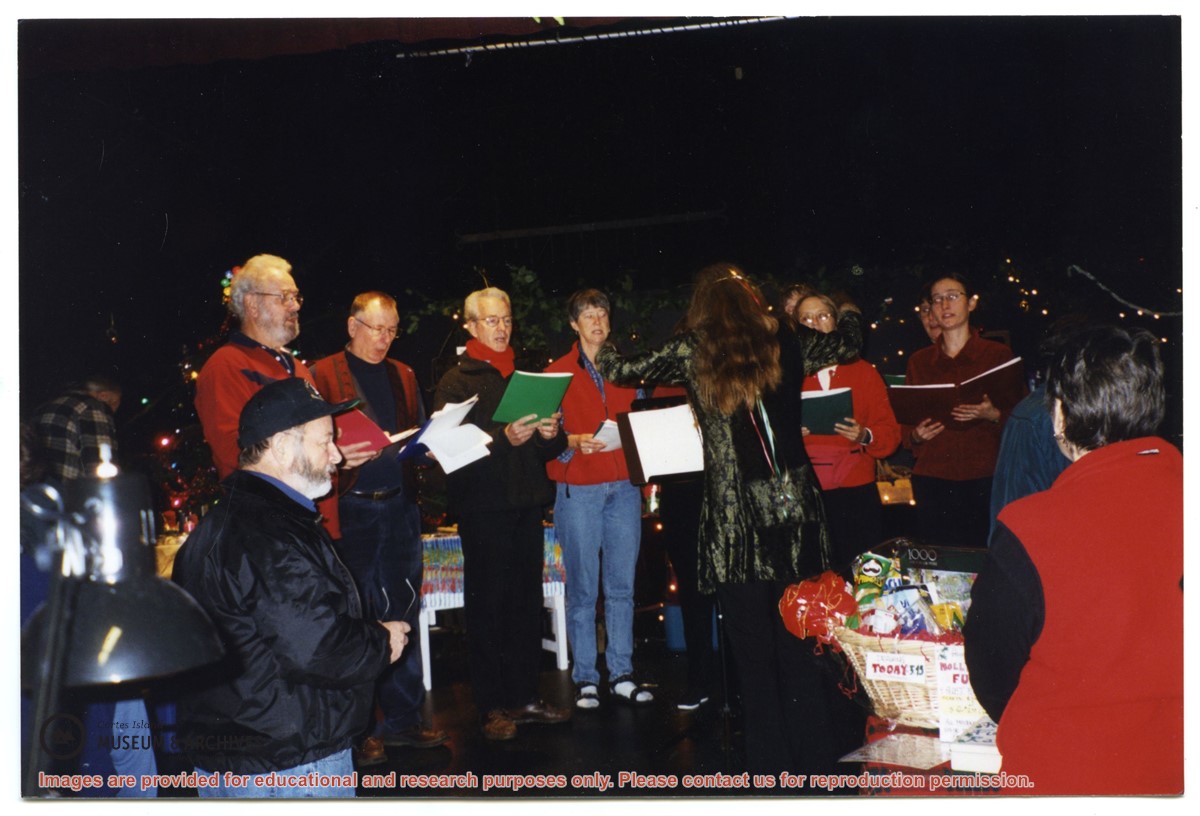
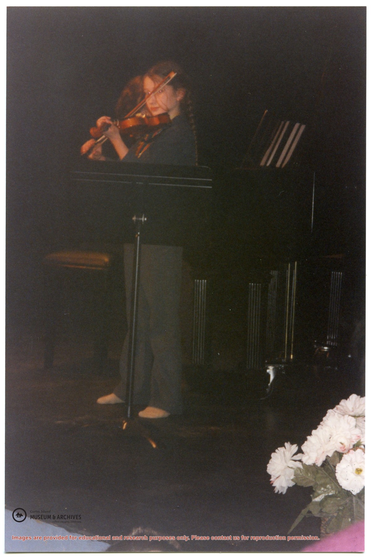
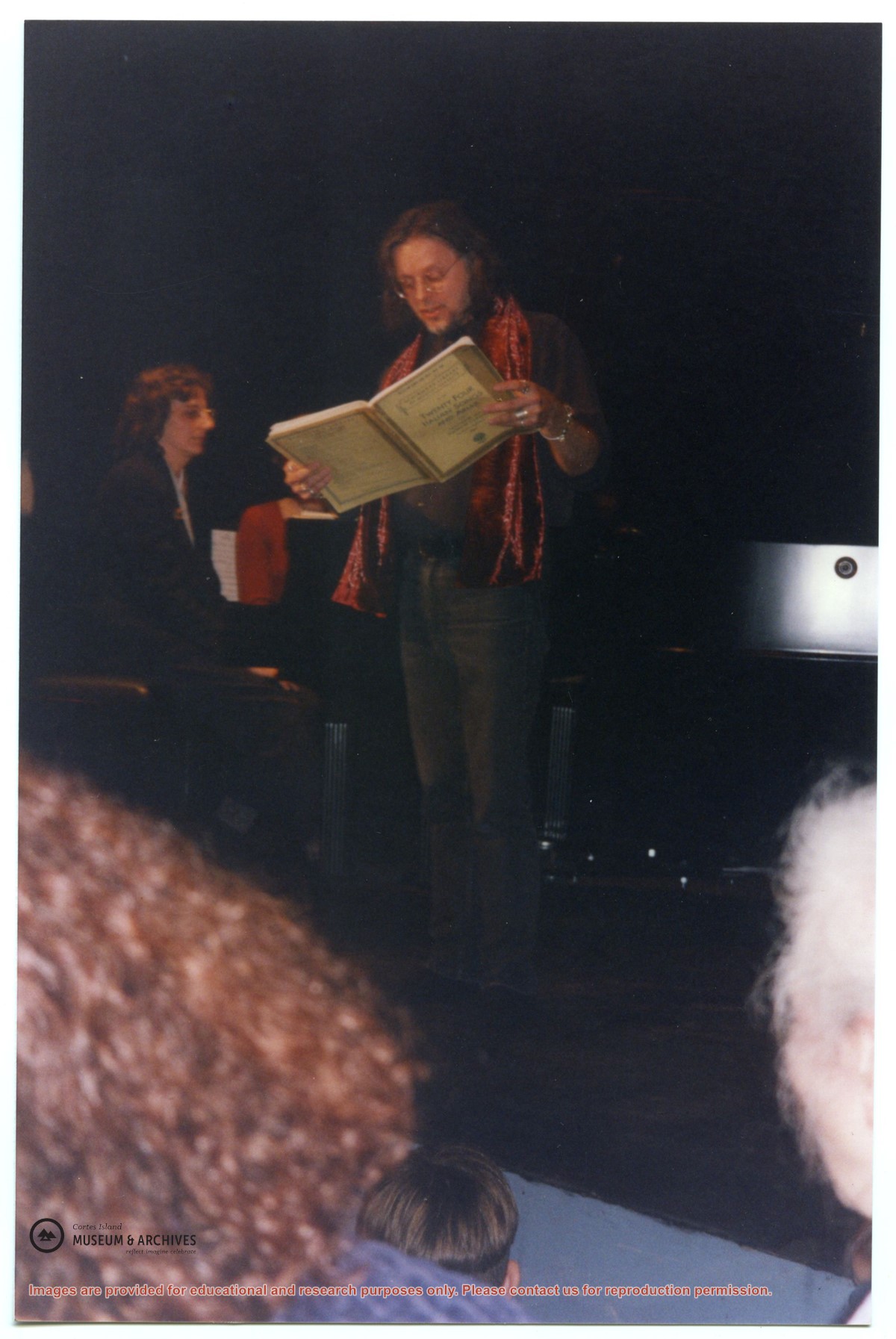
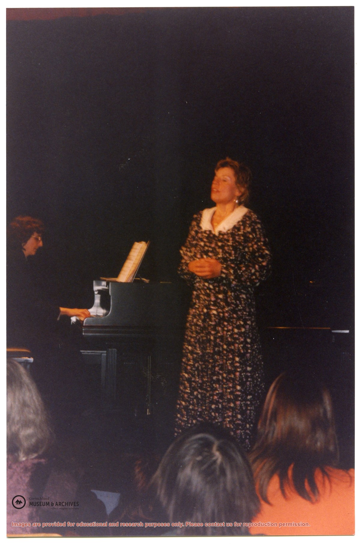
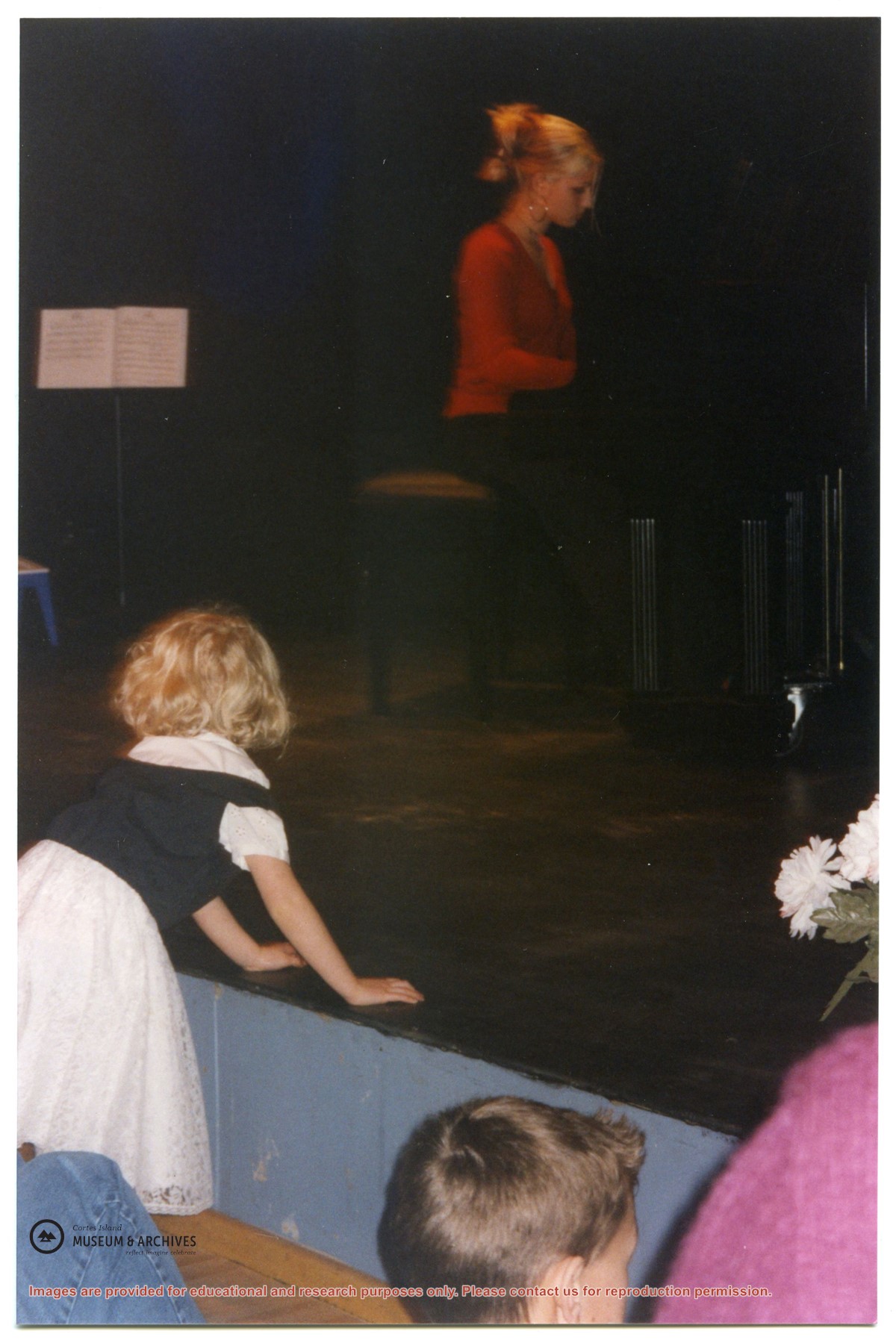
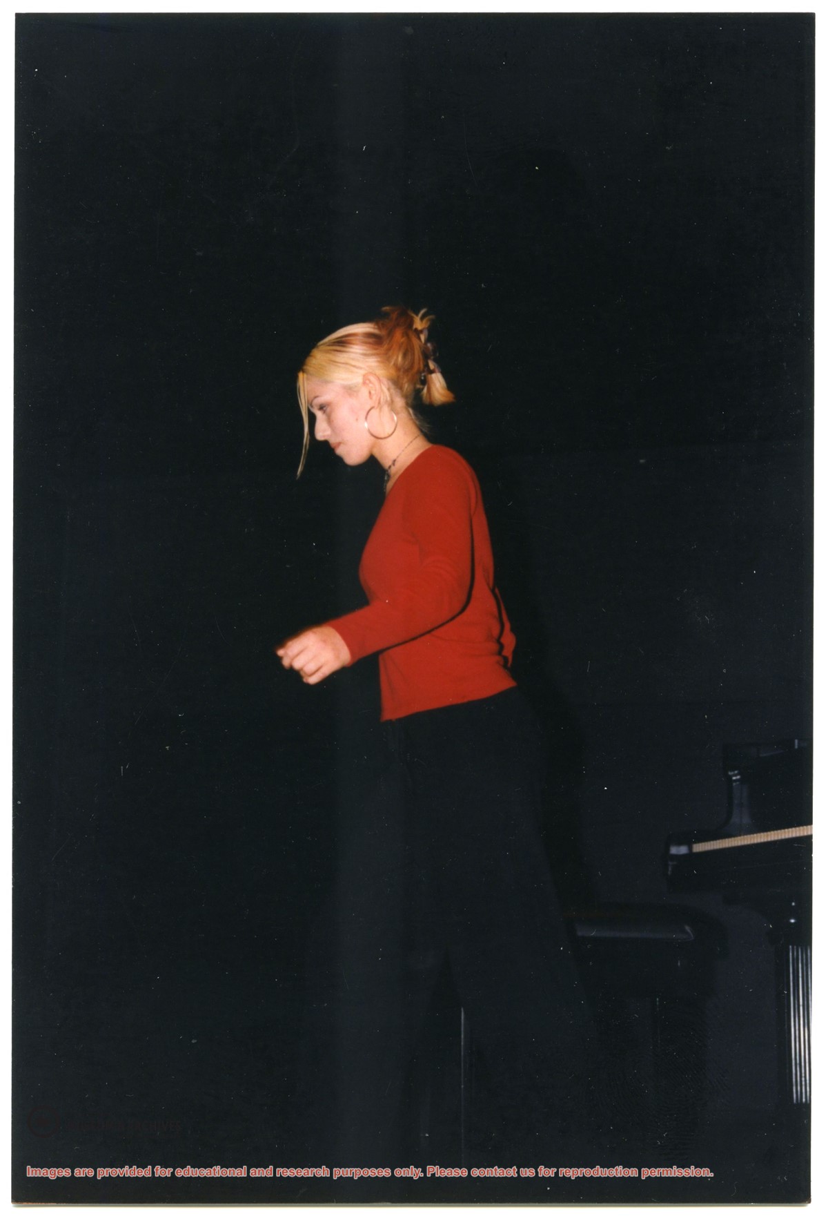
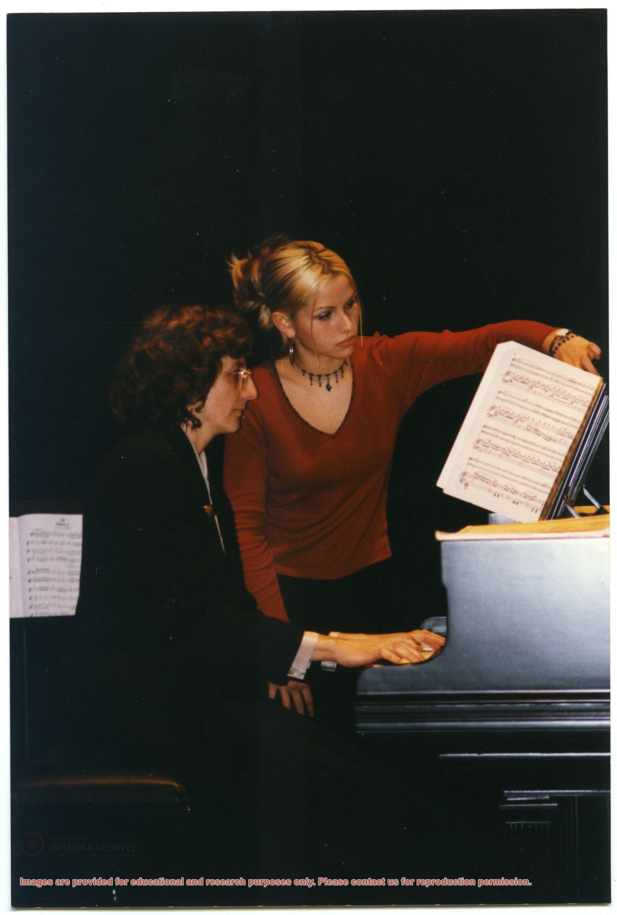
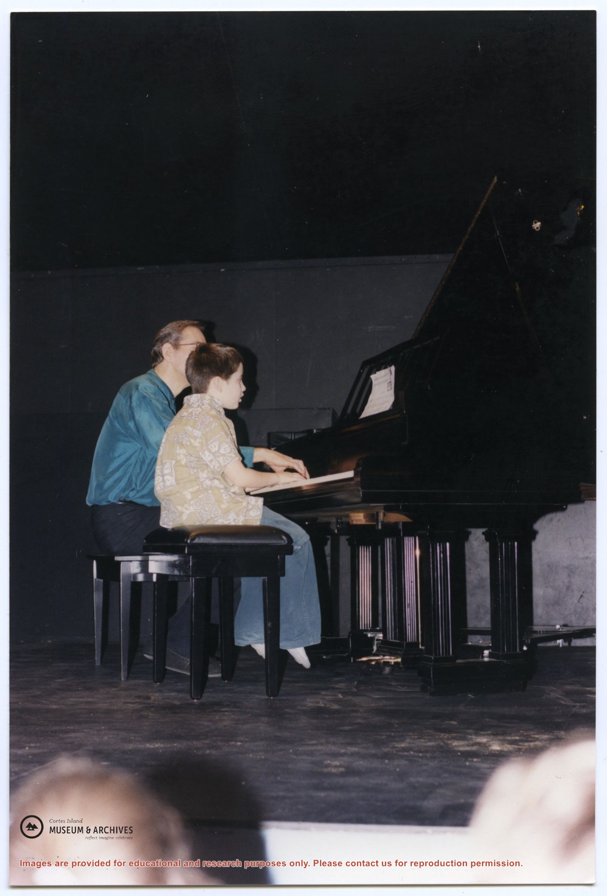
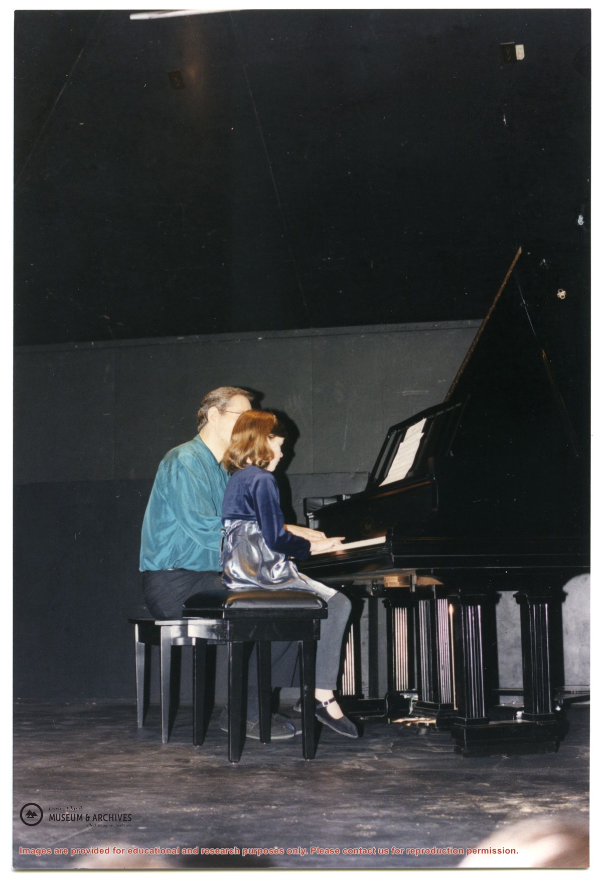
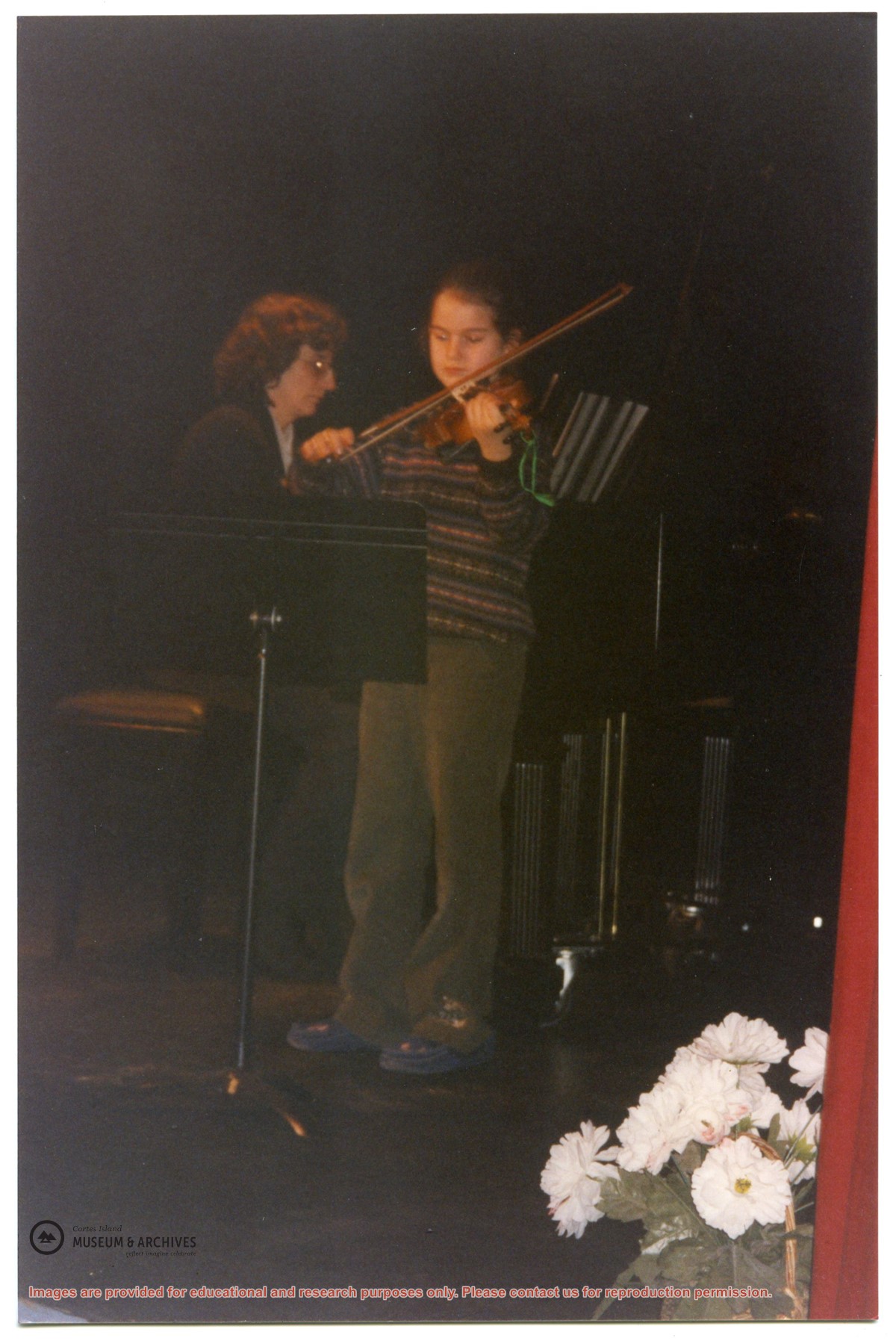
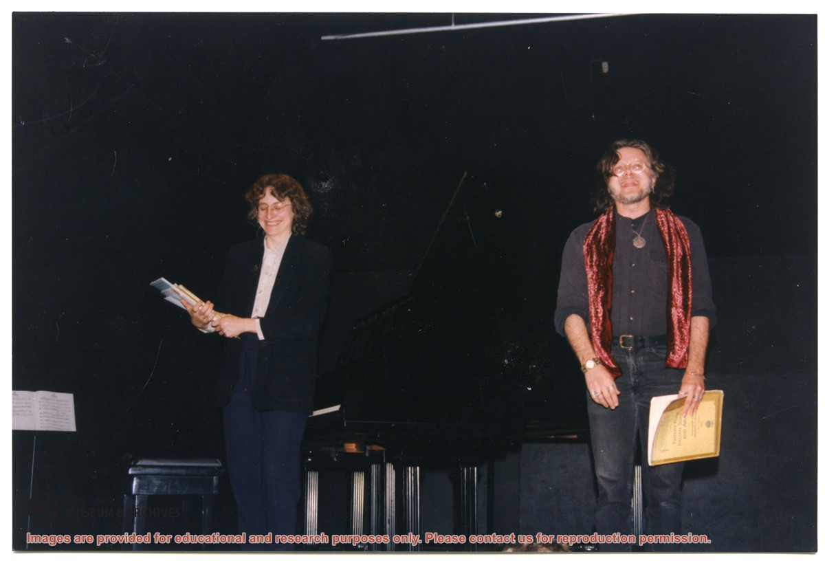
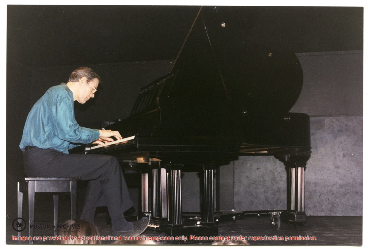
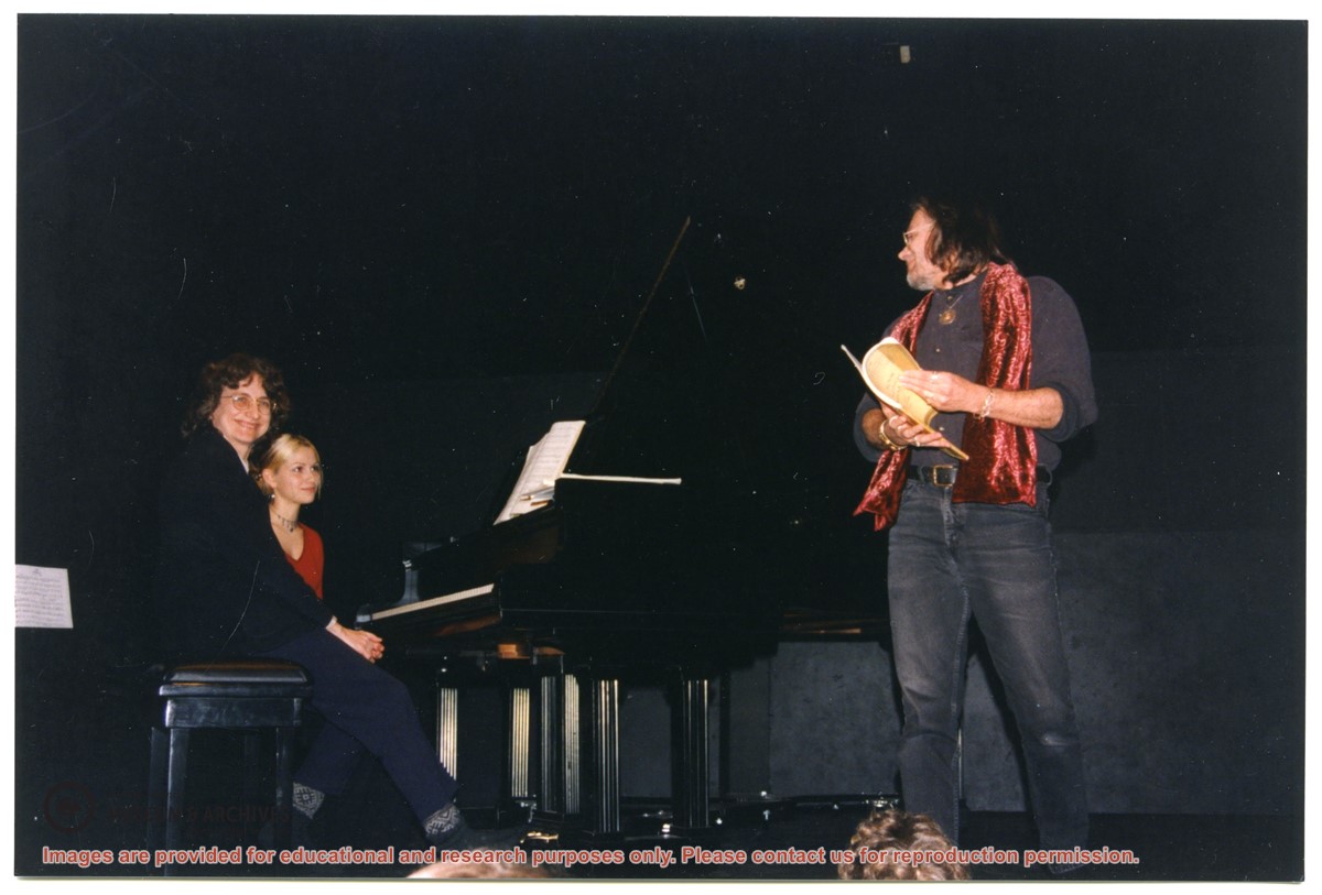
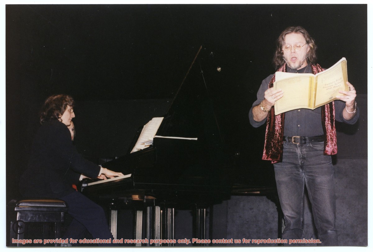
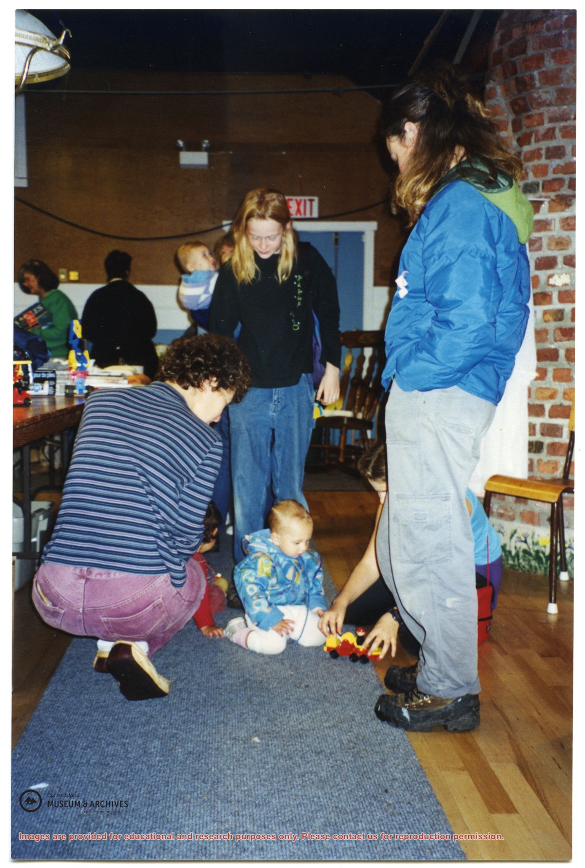
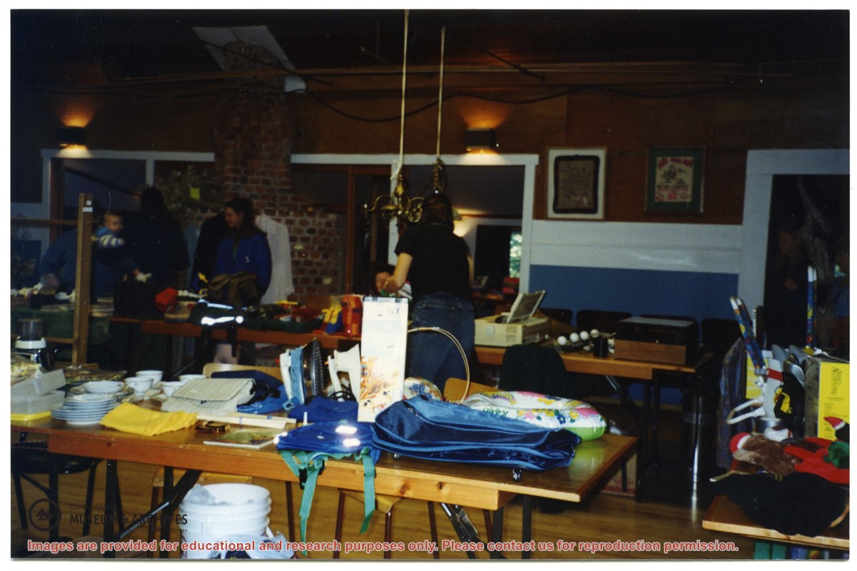
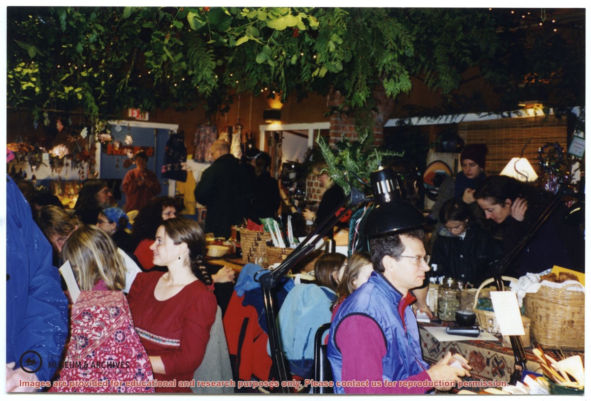
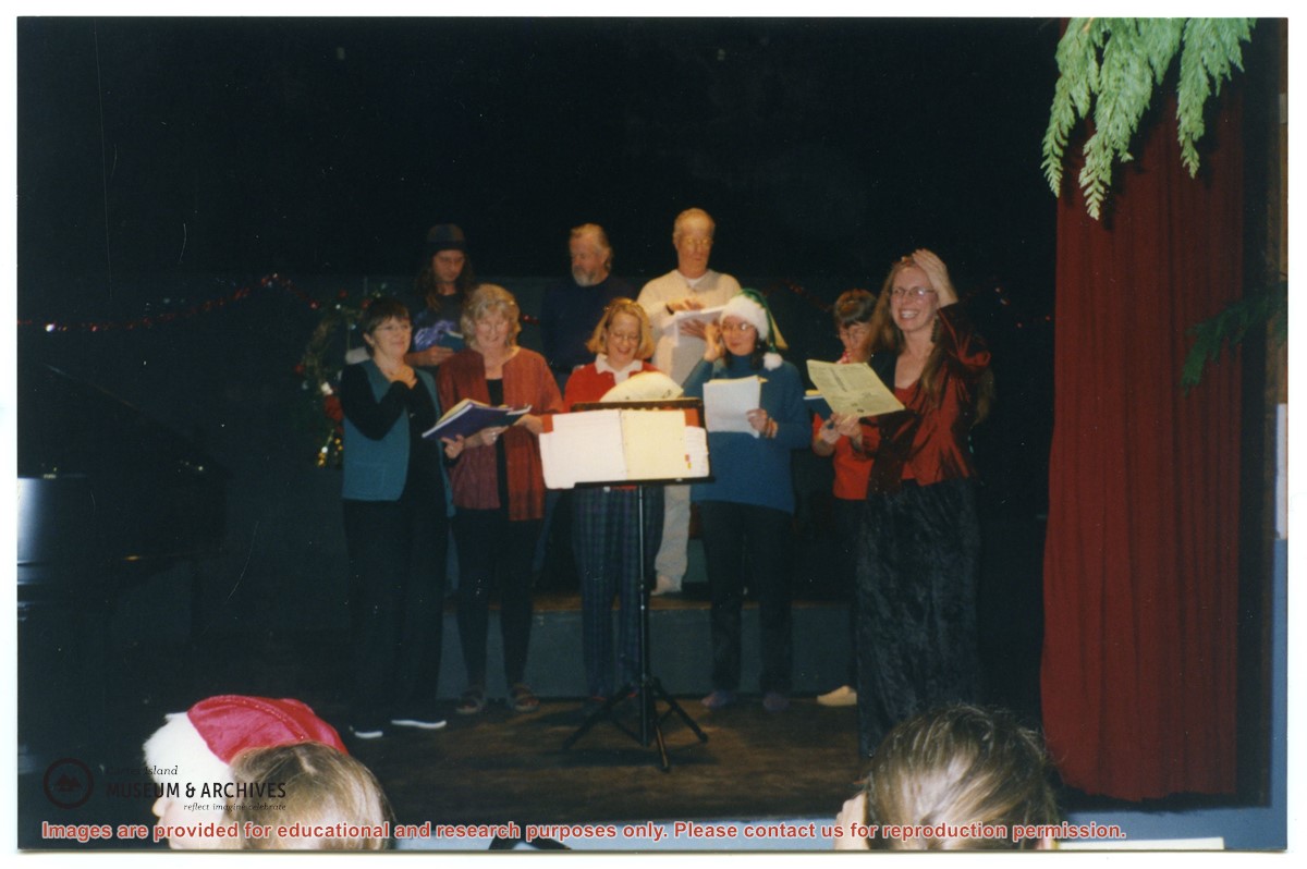
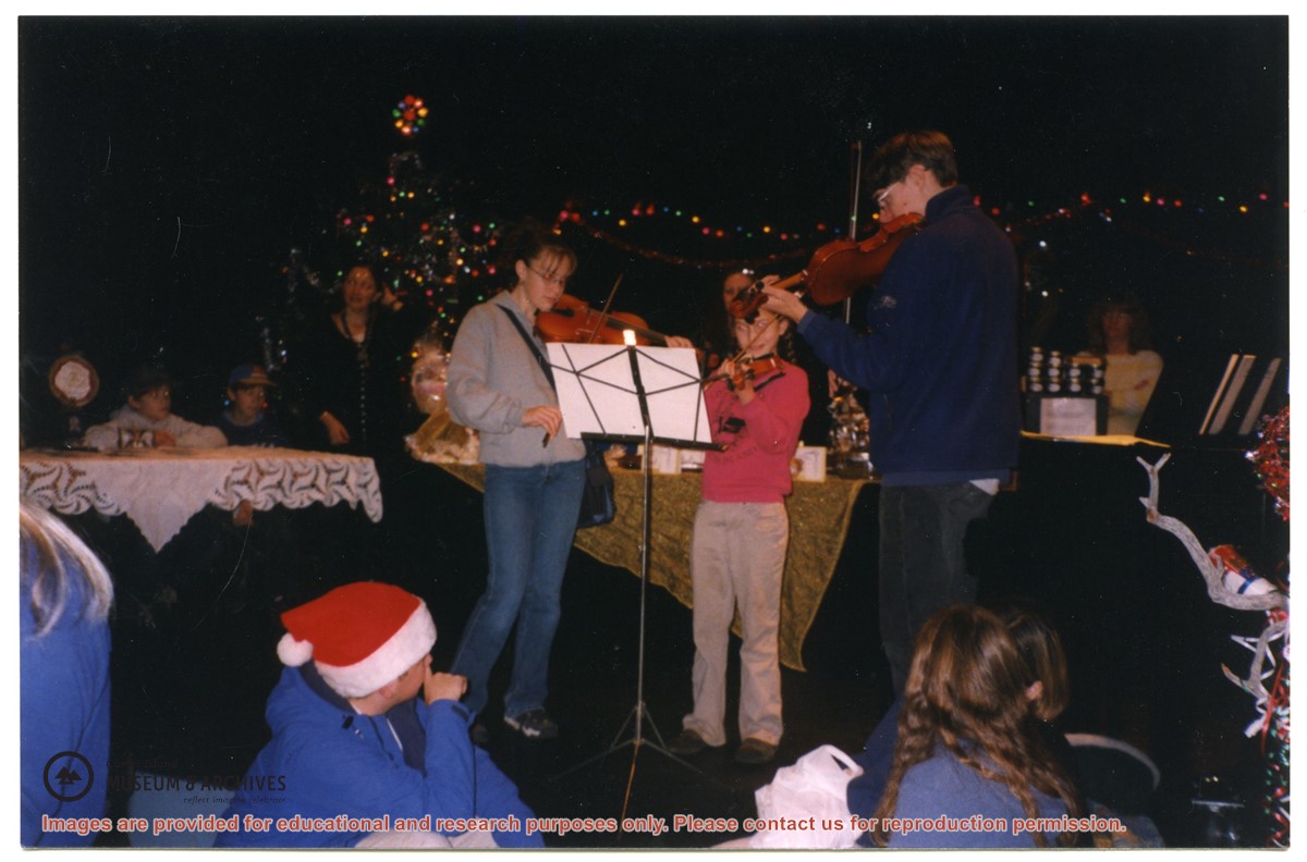
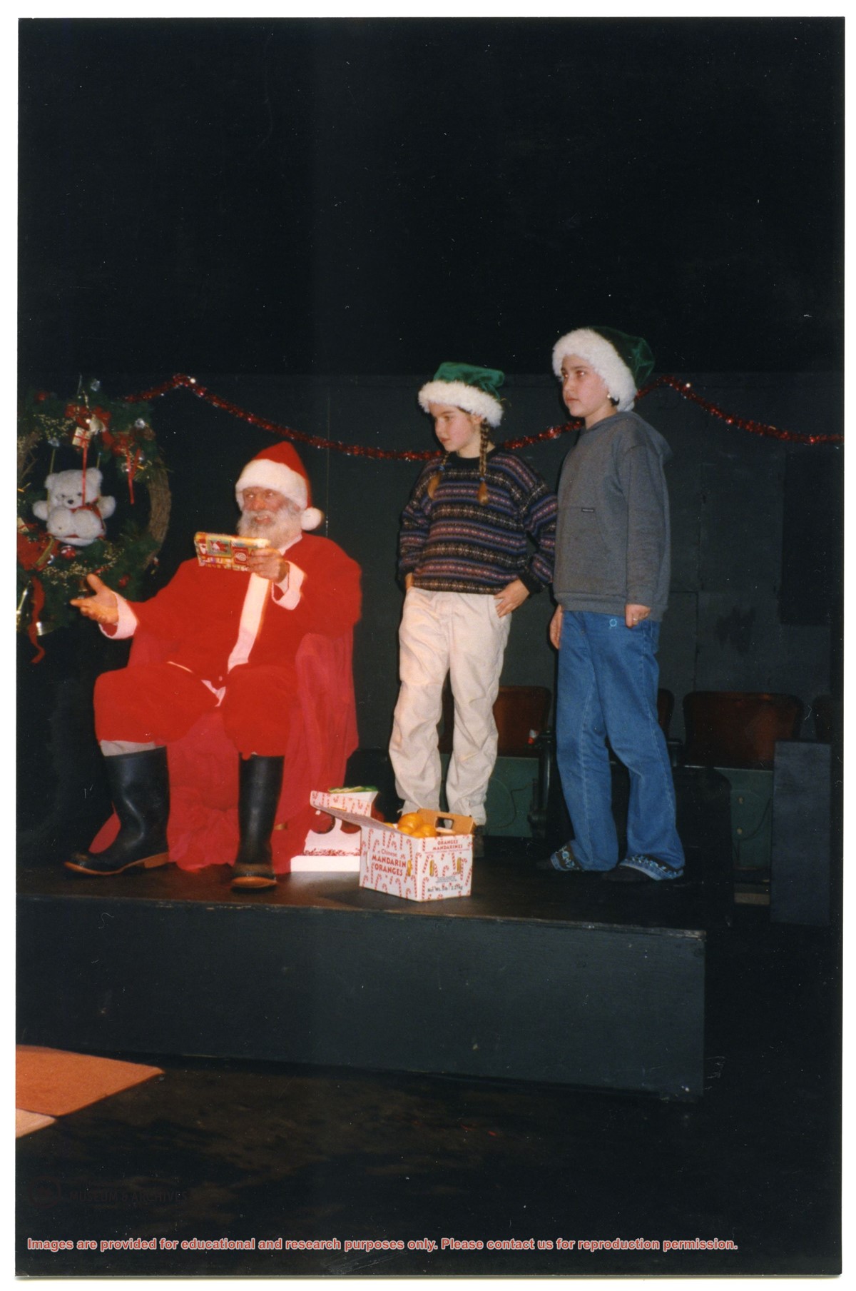
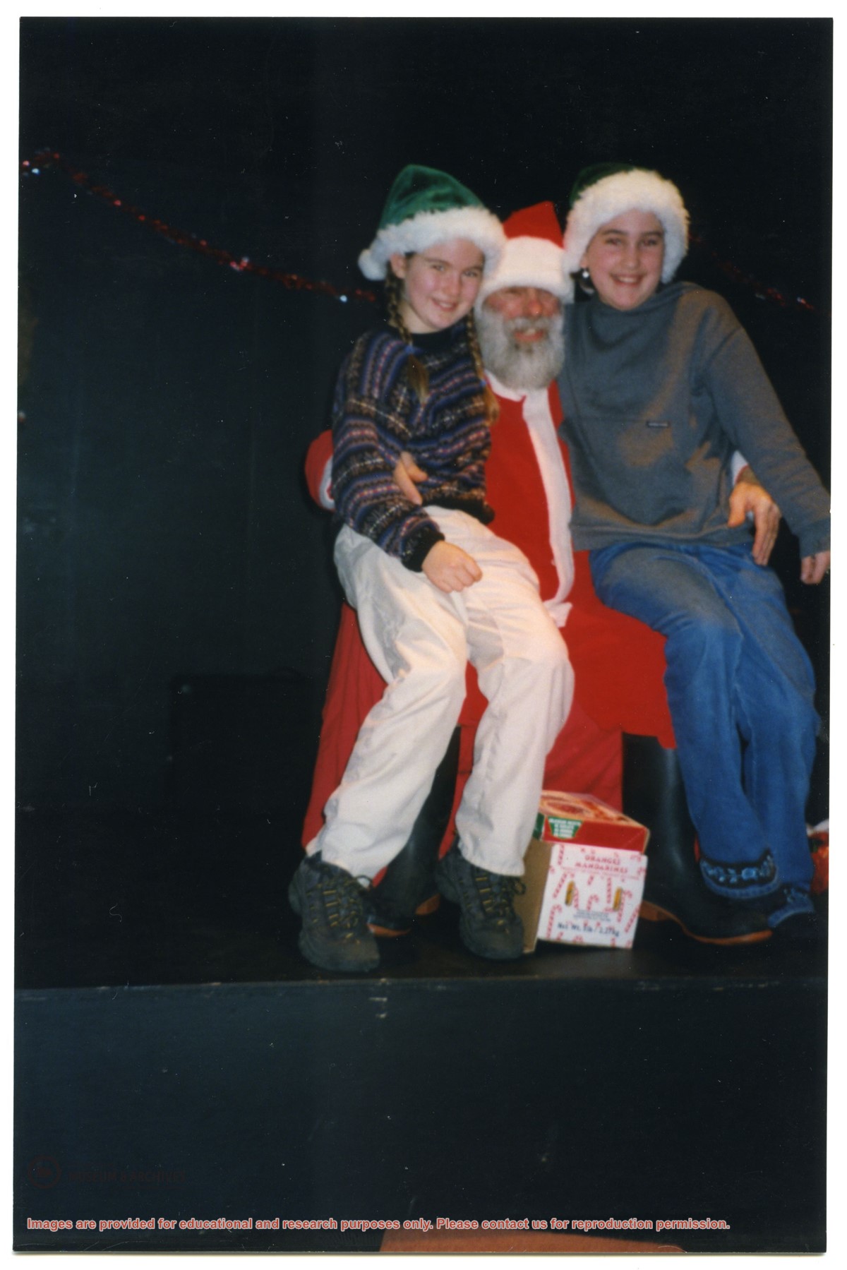
File contains photographs of the Young Musician's Concert (including pictures of Kirsty Overhill and Bruce Hipkin), a White Elephant sale in the Gorge Hall, and the Chistmas Bazaar.
File contains photographs of the Young Musician's Concert (including pictures of Kirsty Overhill and Bruce Hipkin), a White Elephant sale in the Gorge Hall, and the Chistmas Bazaar.