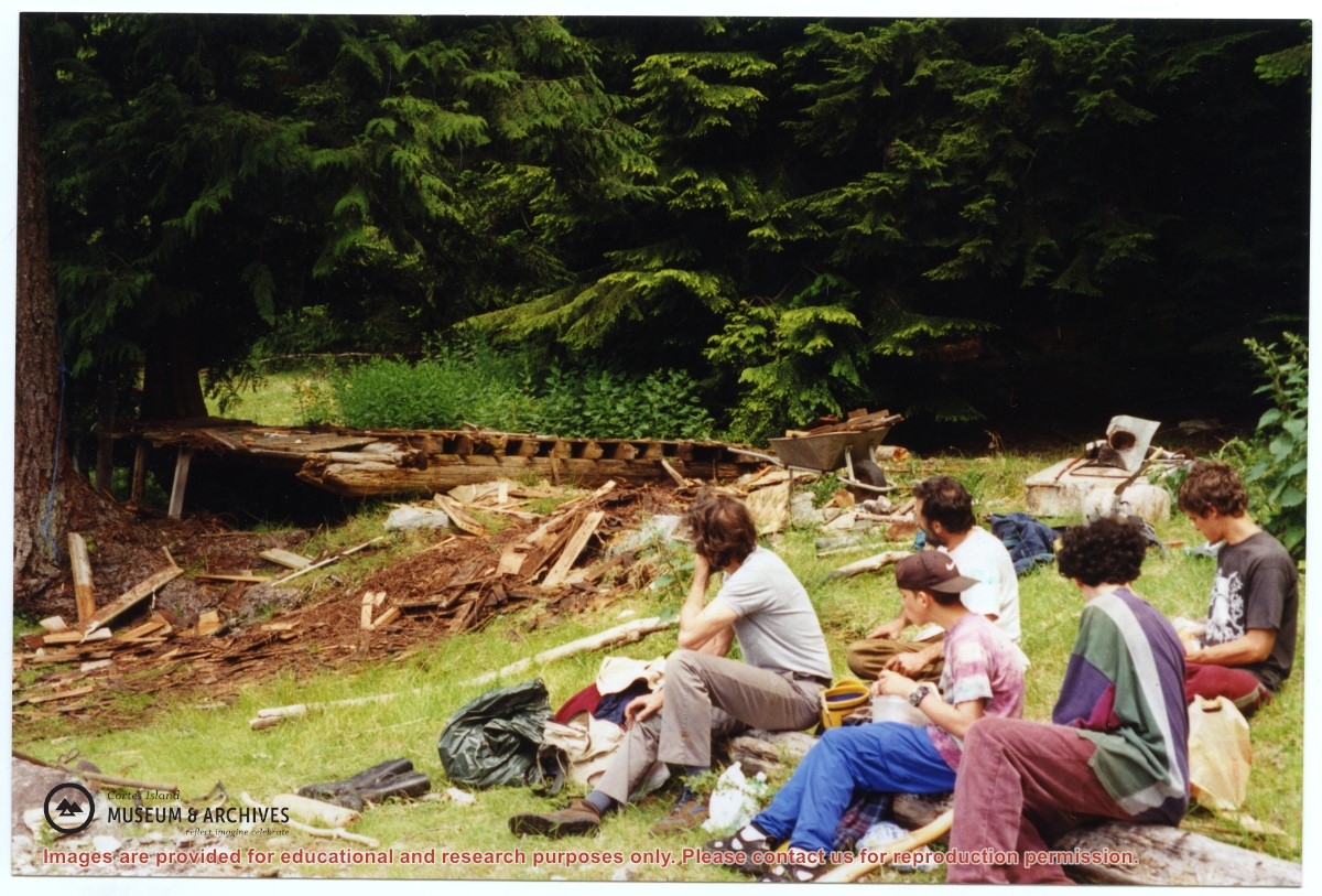
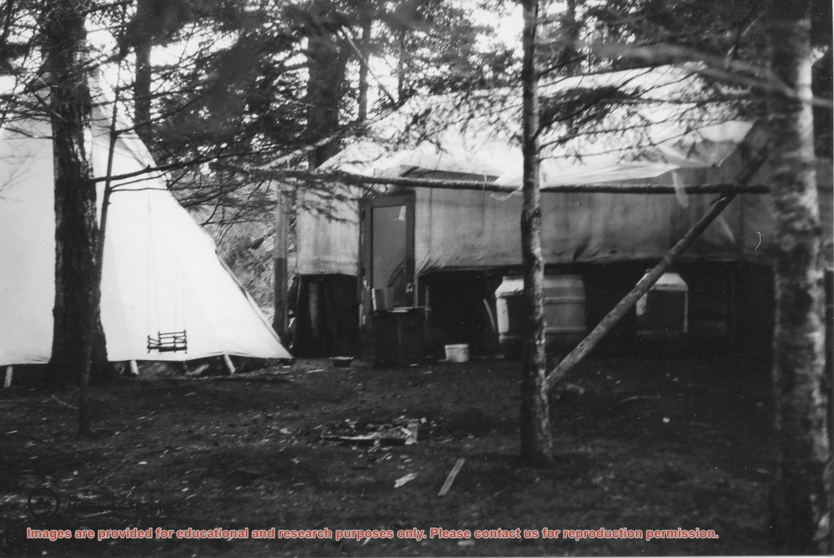
One of a series of photographs of volunteers removing the remains of shacks at Carrington Bay when Carrington Bay Marine Park was established.
L to R: John Shook, Justin Stirn, Pierre DeTrey, Kiyoshi Kosky, Cedar DeTrey.
One of a series of photographs of volunteers removing the remains of shacks at Carrington Bay when Carrington Bay Marine Park was established.
L to R: John Shook, Justin Stirn, Pierre DeTrey, Kiyoshi Kosky, Cedar DeTrey.
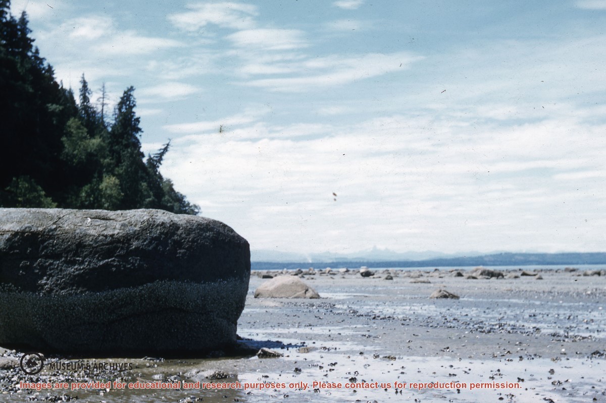
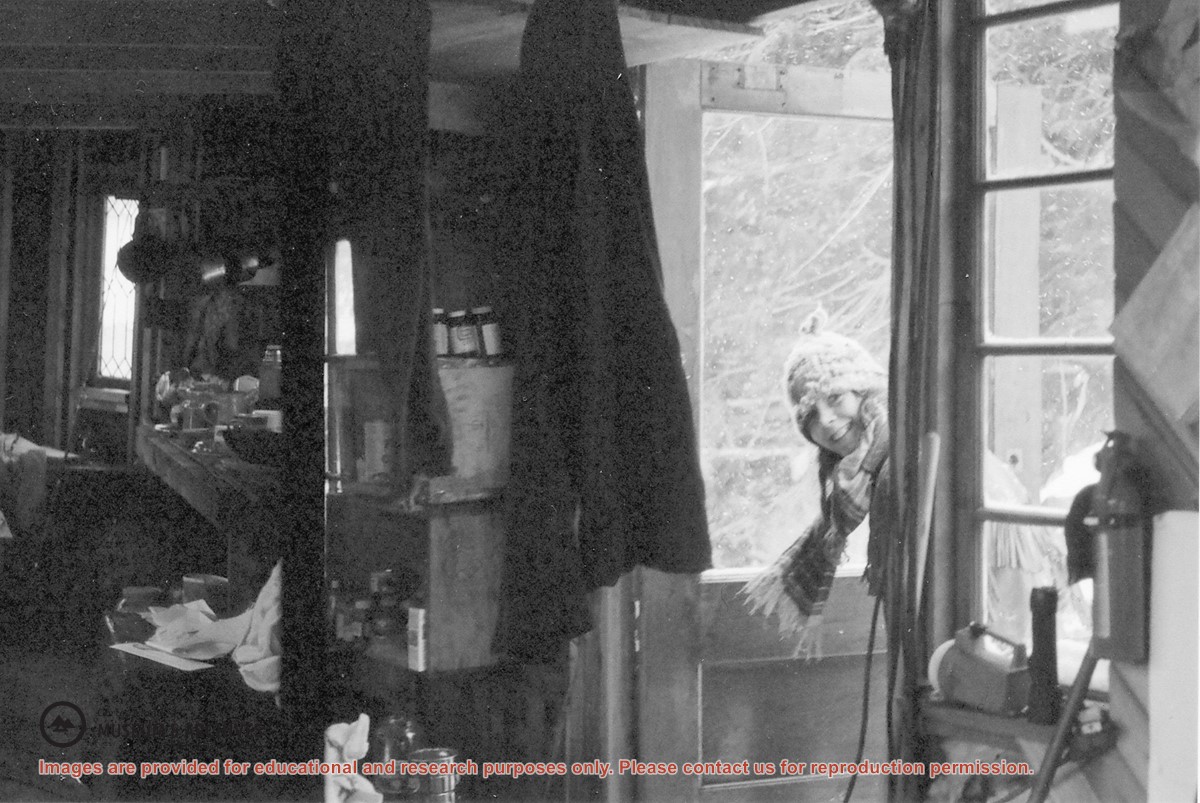
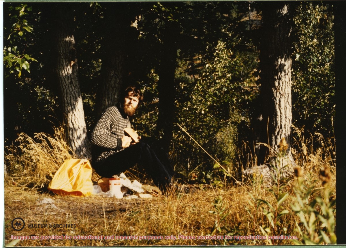
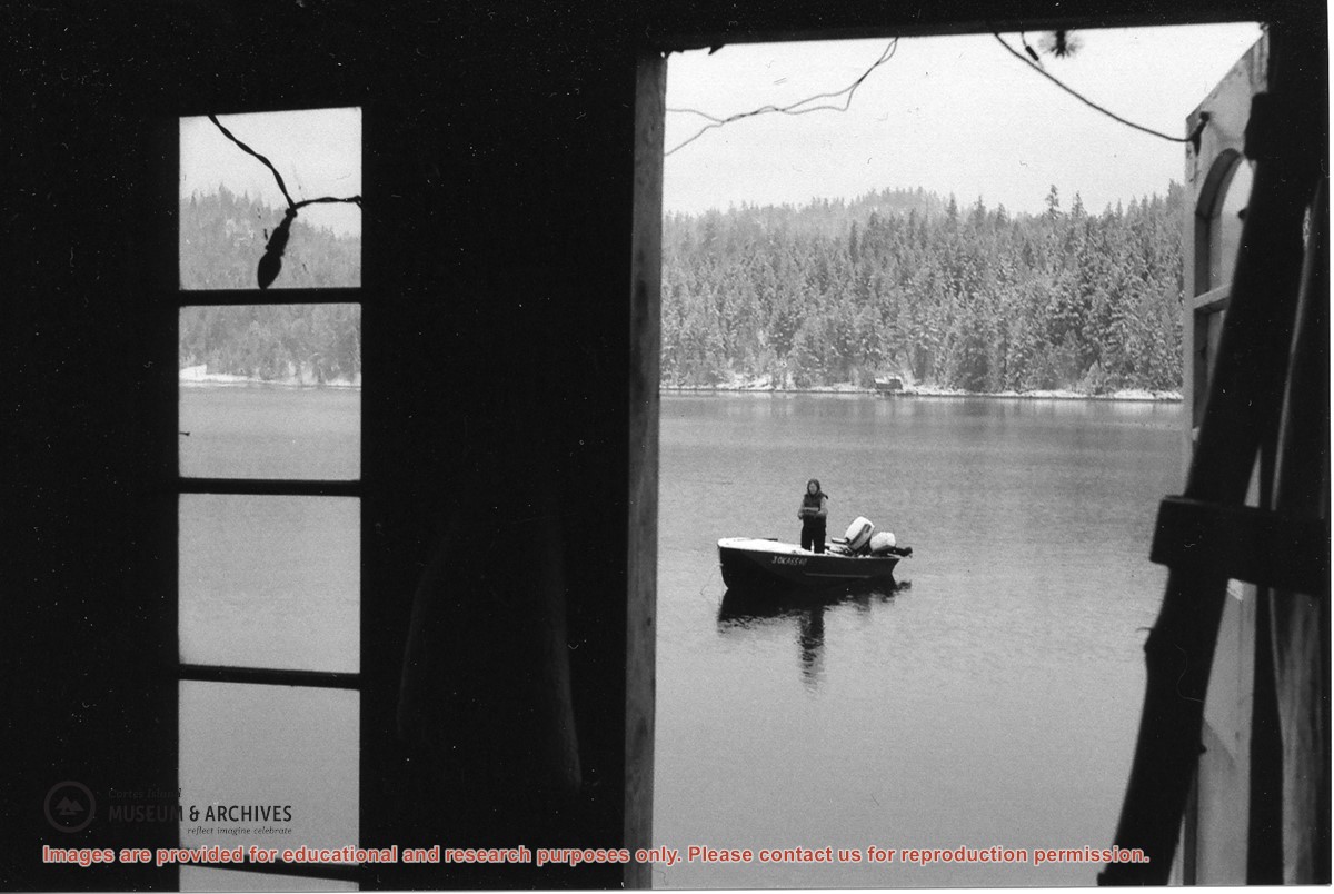
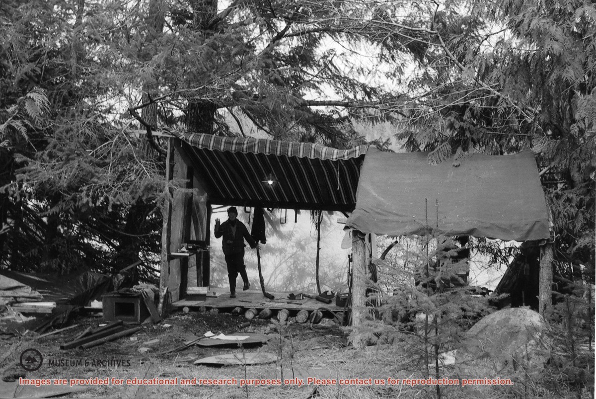
Part of a series of 5 photographs taken by a couple from Germany who were visiting Hans Dolezol (also known as Hans Croker), who lived in the Round House on the property of Paula Snow (now 1474 Robertson Rd.) during the late 1970s until his death in 1982.
Part of a series of 5 photographs taken by a couple from Germany who were visiting Hans Dolezol (also known as Hans Croker), who lived in the Round House on the property of Paula Snow (now 1474 Robertson Rd.) during the late 1970s until his death in 1982.
File contains minutes, agendas and other material relating to meetings of the Klahoose Table, attended by members of CILAC, Klahoose First Nations and government negotiators. It includes material relating to a proposed park at Carrington Bay.
File contains minutes, agendas and other material relating to meetings of the Klahoose Table, attended by members of CILAC, Klahoose First Nations and government negotiators. It includes material relating to a proposed park at Carrington Bay.
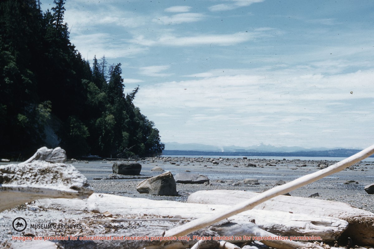
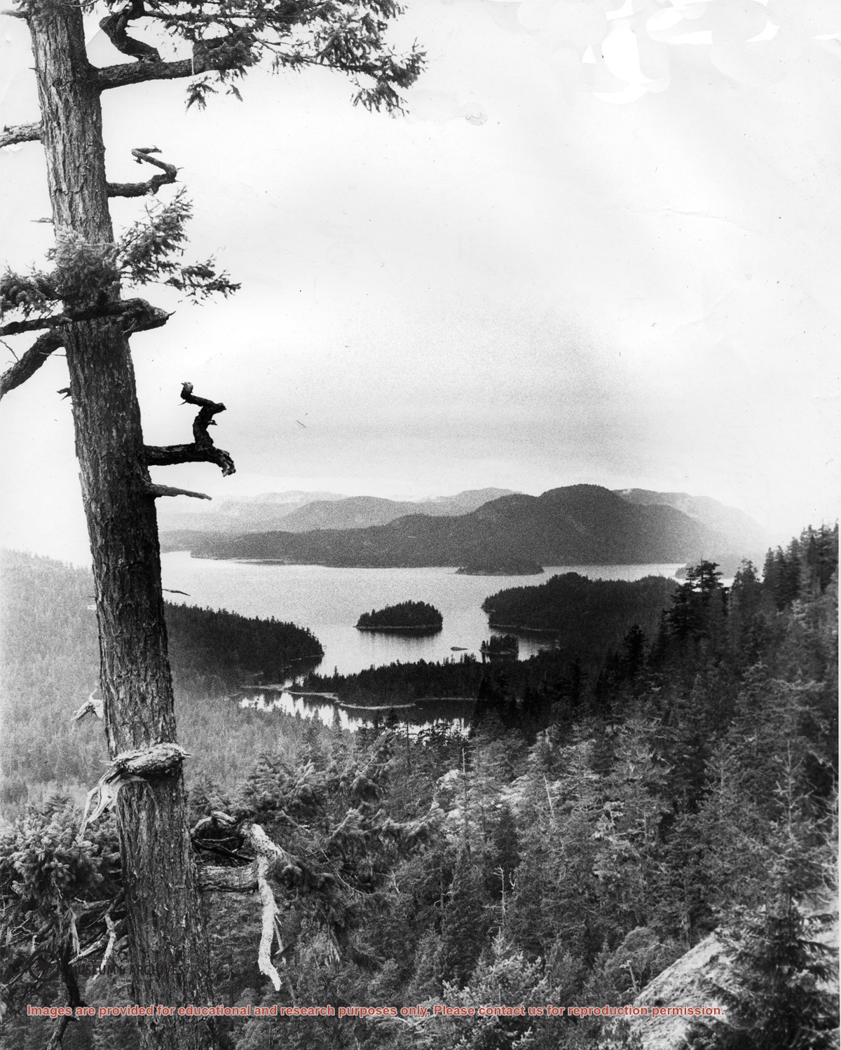
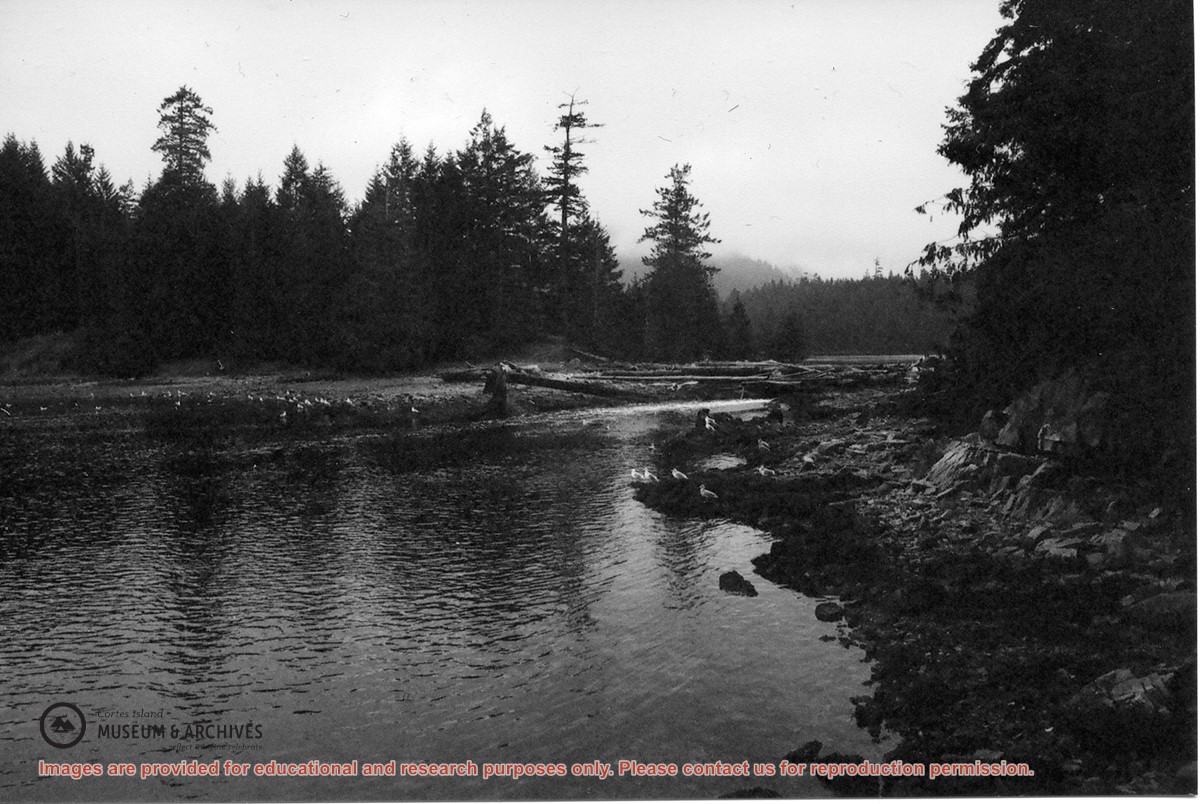
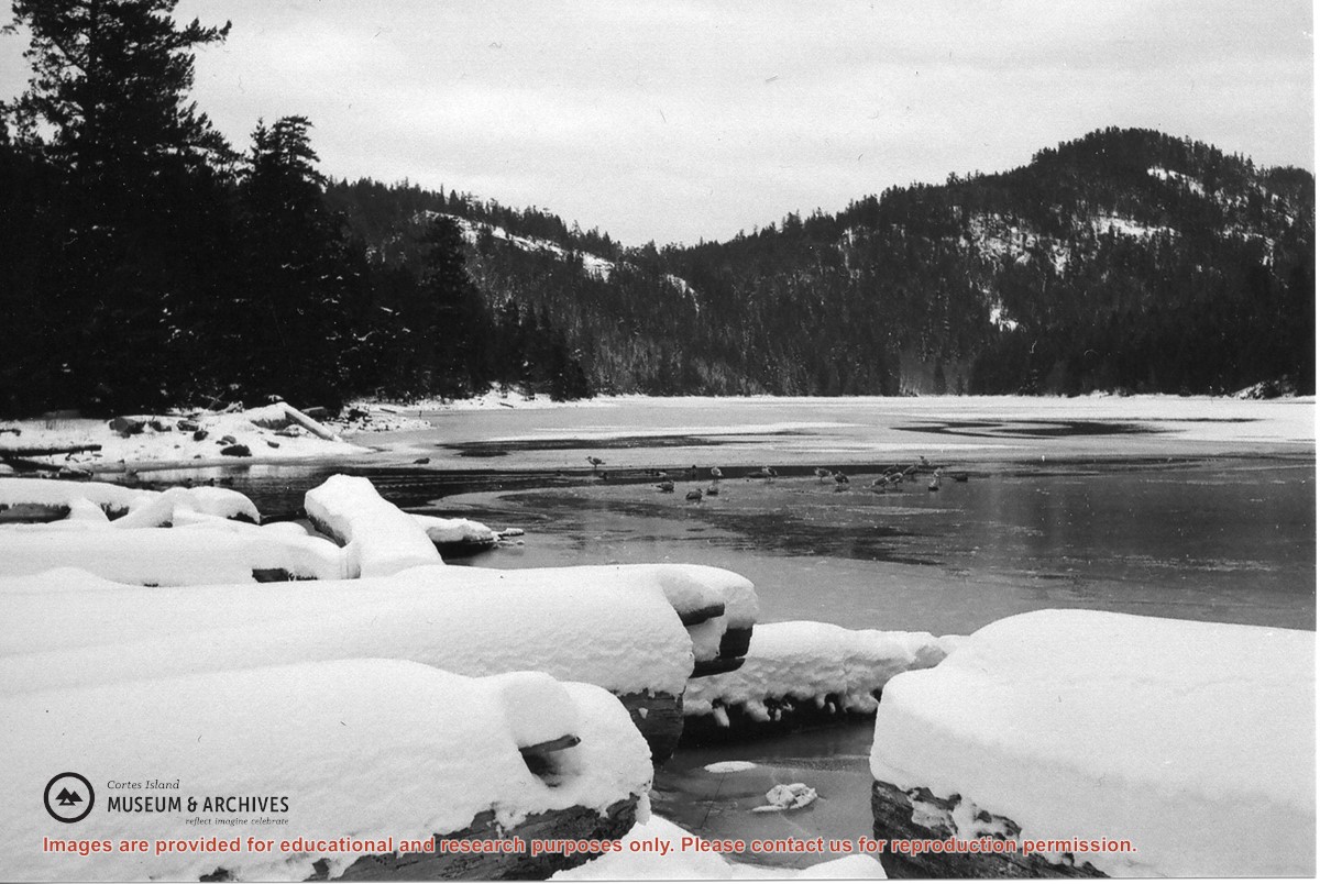
Looking north from Green Mountain over Carrington Lagoon and Carrington Bay (tidal falls in between) across 5 miles of water to Read Island, with a slew of islands to the north.
File contains information for the following properties:
E. H. Vaughn: 1893, Crown Grant for fractional N 1/2 of Sec. 22; 90 acres for $90.00.
James P. Allen: 1913, Crown Grant for NW 34 acres of Sec. 23; $170.00
Bernard Robinson Allen: 1919, Crown Grant for SW 1/4 of Sec. 23, 159 acres
Charles Allen: 1912, Crown Grant for SW 1/4 of Sec. 33; 160 acres for $160.00
Harold Marshall Wood: Crown Grant for E 1/2 of NE 1/4 of Sec. 46 (east of Carrington Bay); 81 acres for $1.00.
File contains the following maps, stored in the Map Cabinet:
Subdivision Plan of parcel C & E, NW 1/4 of Sec. 21, 1976
Subdivision of the fractional NE 1/4 of Sec 21, 1966; with names of property owners penciled in
Subdivision Plan of Parcel C and part of Parcel E of fractional NE 1/4 of Sec. 21, 1975
Subdivision Plan of fractional NE 1/4 of Sec. 21 and W 1/2 of SW 1/4 of Sec. 34
(Files 17 through 19 are from the same envelope.)
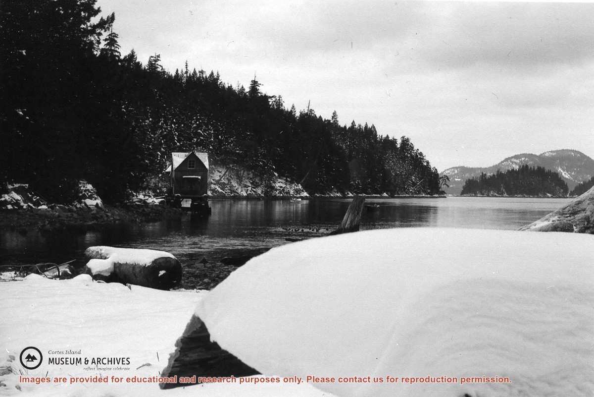
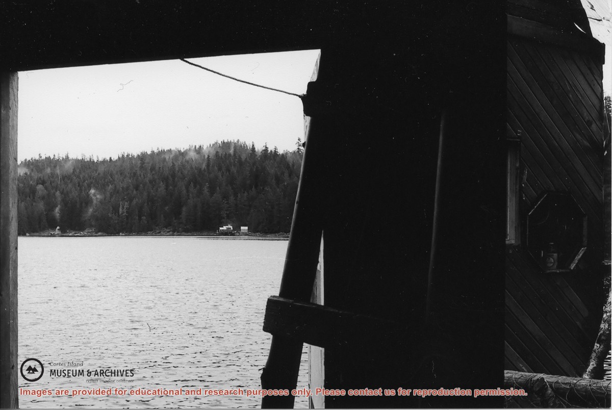
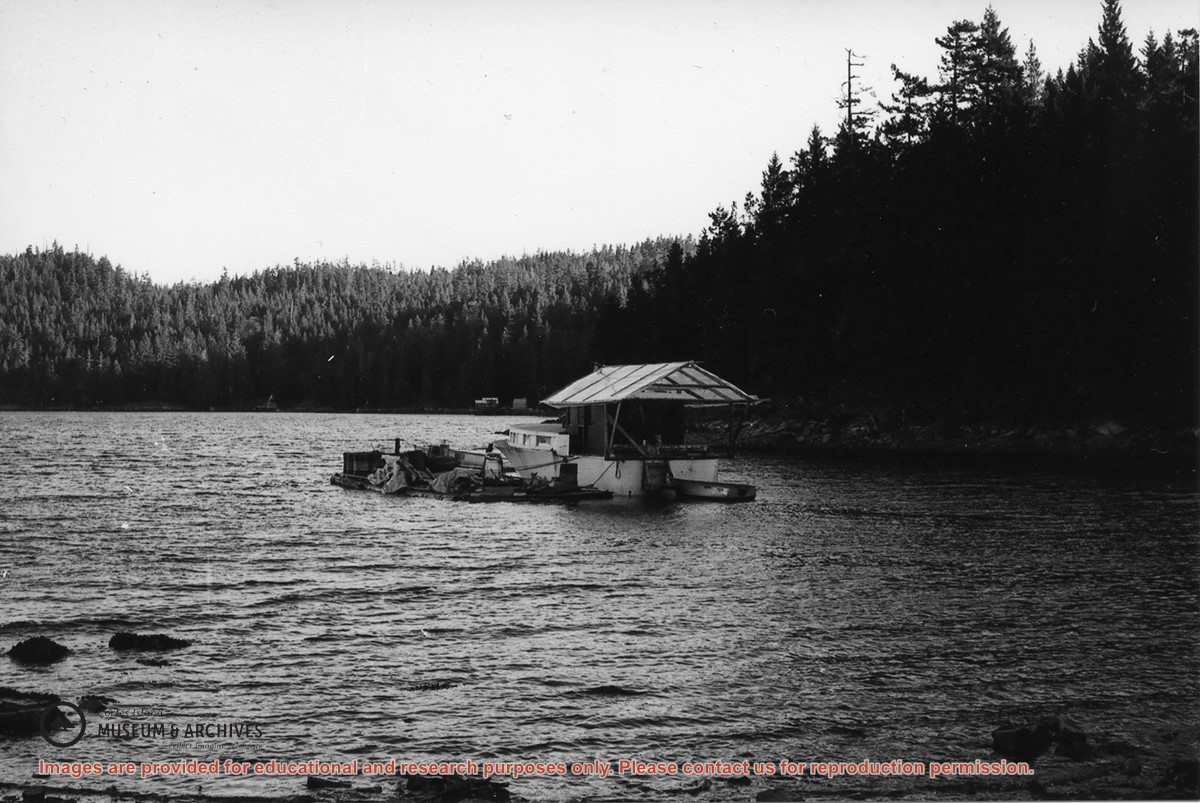
Looking out the door of Jim & Jan’s float house; Alan Bent & Gail Johnson’s house (right), Jason & Kathy’s (left) on the east of Carrington Bay in the distance.
Series consists of records relating to logging on Cortes Island. It includes correspondence, account sheets, Forest Service scale sheets, timber sale maps of Von Donop Creek and Carrington Bay, and copies of Forestry regulations.
Series consists of records relating to logging on Cortes Island. It includes correspondence, account sheets, Forest Service scale sheets, timber sale maps of Von Donop Creek and Carrington Bay, and copies of Forestry regulations.
File contains a page of notes, and photocopies of a tax sale notice (1938) and list of properties forfeited for non-payment of taxes, Crown Grants and other title information for the following:
William Walter James: 1926, Crown Grant for NW 1/4 of Sec. 38; 156 acres for $1.00; forfeited to Crown in 1939
Tom Albinson: 1919, Crown Grant for Lot 867; forfeited in 1927
Sadie McMurray: 1917, NE 1/4 of Sec. 39; 160 acres for $160
Peter Police: 1925, fractional NW 1/4 of Sec. 39; 103 acres for $1.00
(Files 12 through 16 are from the same envelope.)