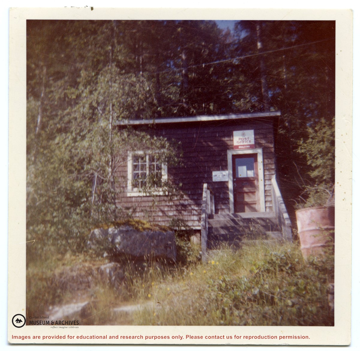
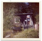
The post office was built in this location (on the property of 315 Whaletown Rd) in 1947. In 1981 it was moved across the road next to the parking area of the Whaletown store.
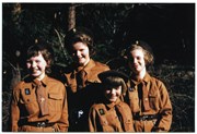
Likely originally from the collection of the Weiler family.
The post office was built in this location (on the property of 315 Whaletown Rd) in 1947. In 1981 it was moved across the road next to the parking area of the Whaletown store.
Likely originally from the collection of the Weiler family.
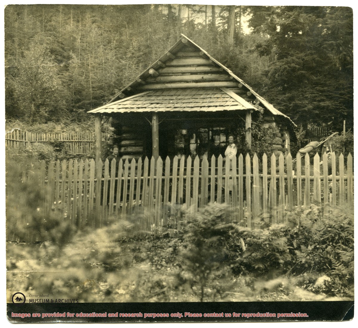
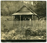
Photograph of a log house with a picket fence around it; a woman is standing on the porch. The picture was once glued into a photograph album. It is possibly a photograph of Mabel Huck's house at "Hell's Half Acre."
Photograph of a log house with a picket fence around it; a woman is standing on the porch. The picture was once glued into a photograph album. It is possibly a photograph of Mabel Huck's house at "Hell's Half Acre."
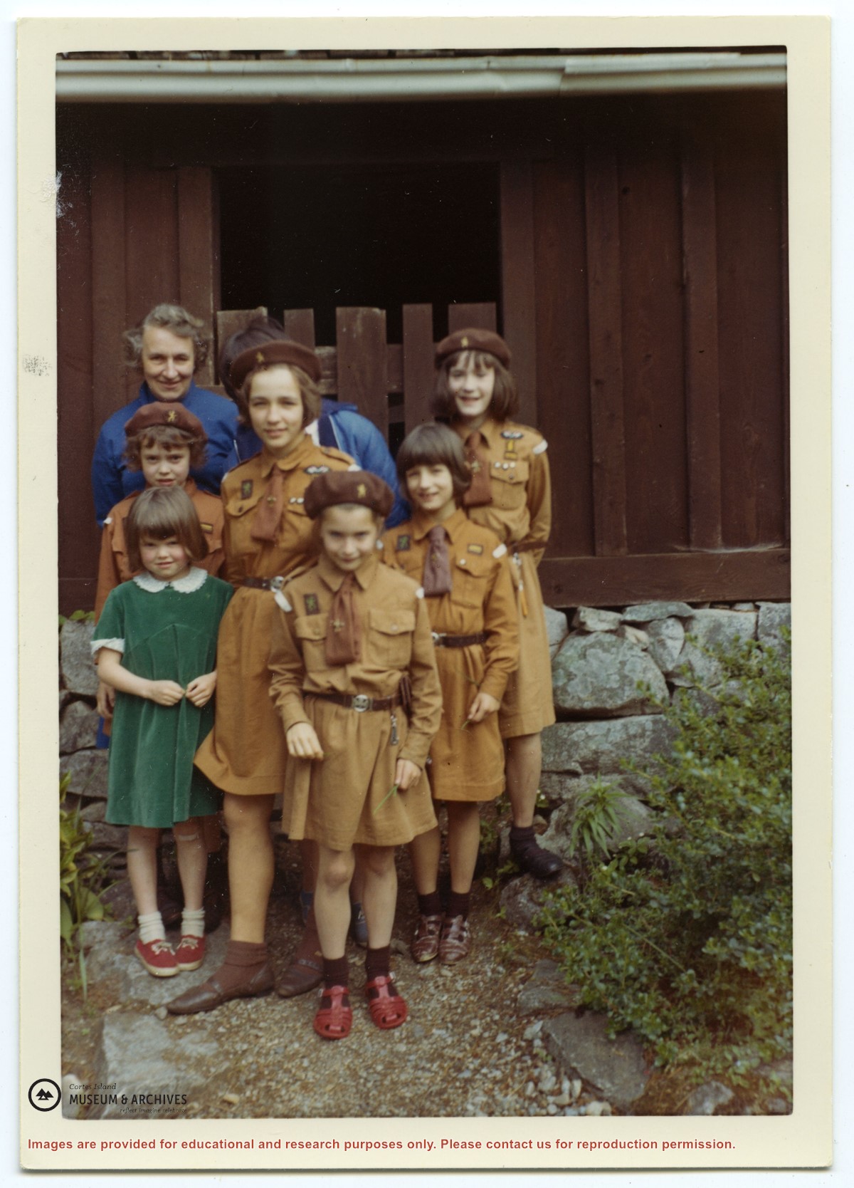
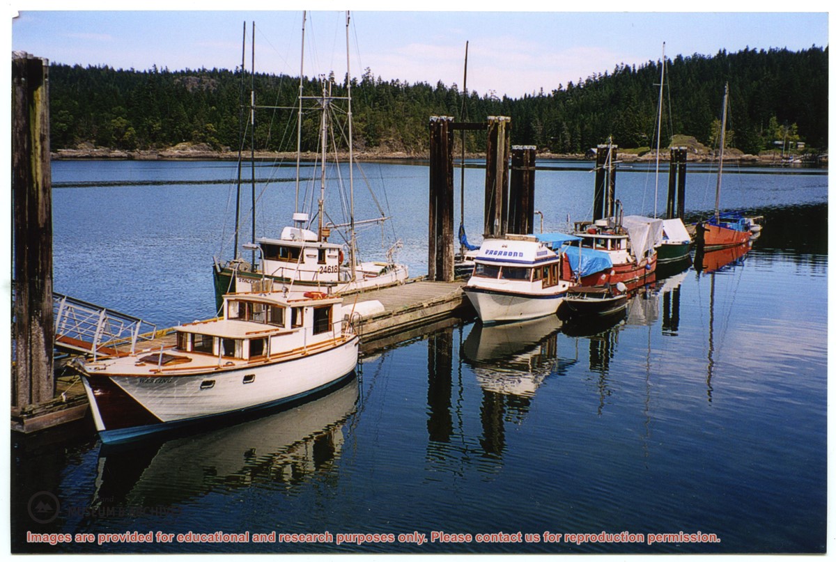
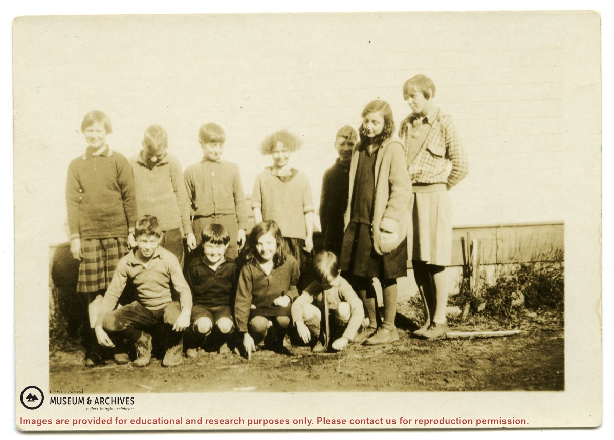
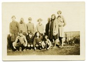
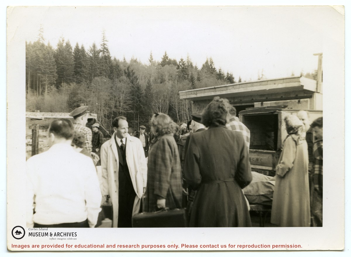
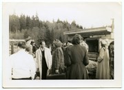
Photograph of a group of people in front of the freight shed on the Whaletown wharf. A sticker on the back indicates the photograph was originally from the collection of Gilean Douglas.
Photograph of a group of people in front of the freight shed on the Whaletown wharf. A sticker on the back indicates the photograph was originally from the collection of Gilean Douglas.
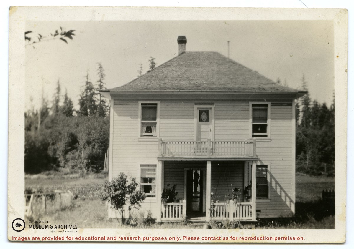
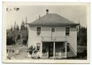
Photograph postcard of the Whaletown Church. Originally from the collection of Gilean Douglas.
Note - There is a digital enlargement of this postcard in the oversize box. This same postcard is found in other fonds (Items 2003.002.024 and 2019.023.013).
Photograph postcard of the Whaletown Church. Originally from the collection of Gilean Douglas.
Note - There is a digital enlargement of this postcard in the oversize box. This same postcard is found in other fonds (Items 2003.002.024 and 2019.023.013).
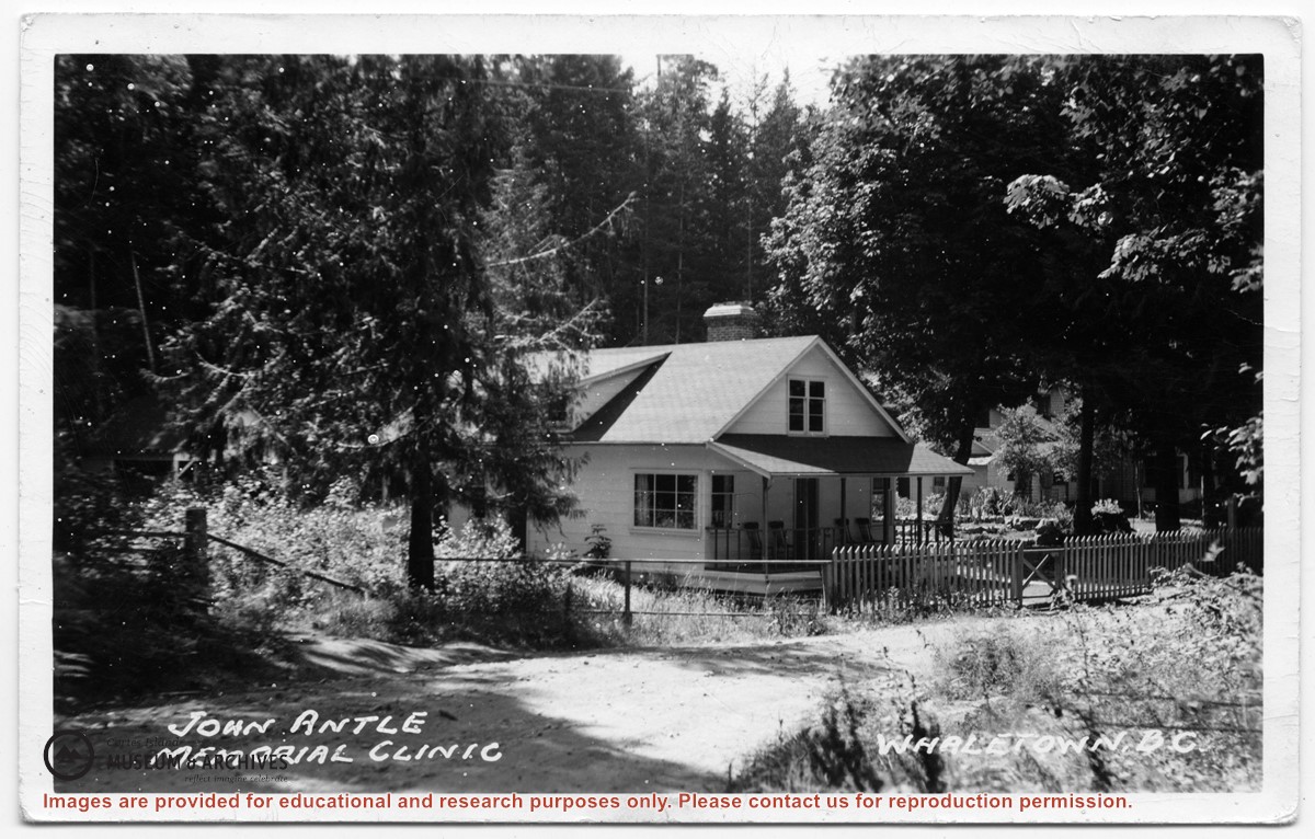
Photograph of the clinic building, with the Rectory beside it. Note the lack of telephone and electrical lines, which indicates the date is between 1950 and 1969.
Photograph of the clinic building, with the Rectory beside it. Note the lack of telephone and electrical lines, which indicates the date is between 1950 and 1969.
File contains a key map and list for the areas researched and information on the following:
George Herbert Wailes: 1920, Crown Grant for fractional SW 1/4 of Sec. 48; 48 acres for $217; with a tax sale notice, 1939
Ina Vernon Munro: 1920, Crown Grant for NE 1/4 of Sec. 37; 161 acres; includes a sale to Hawkins and a forfeit in 1939
Allan Olmsted: 1939, Crown Grant for SW 1/4 of Sec. 37
Ira Furry: 1911, Crown Grant for W 1/2 of SE 1/4 of Sec. 33
Walter Malcolm: 1919, Crown Grant for fractional SW 1/4 of Sec. 36
Frank Leslie Tooker: 1926, Crown Grant for N 1/2 of Sec. 36, 124 acres
Ira Furry: 1897, Crown Grant for SE 1/4 of Sec 36; 160 acres for $160.00.
Donald McDonald: 1926, Crown Grant for fractional NW 1/2 of Sec. 37; 144 acres for $1.00


.jpg?width=1200&404=no-img.jpg&watermark=wmk)
.jpg?width=1200&404=no-img.jpg&watermark=wmk)
.jpg?width=180&404=no-img.jpg)