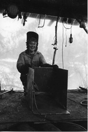
Photograph of Michael Gibbons, taken beside Alice's house at the end of the board walk at Refuge Cove. Alice was the cook at the Hope's logging camp and stayed on after the camp closed.
Photograph of Michael Gibbons, taken beside Alice's house at the end of the board walk at Refuge Cove. Alice was the cook at the Hope's logging camp and stayed on after the camp closed.
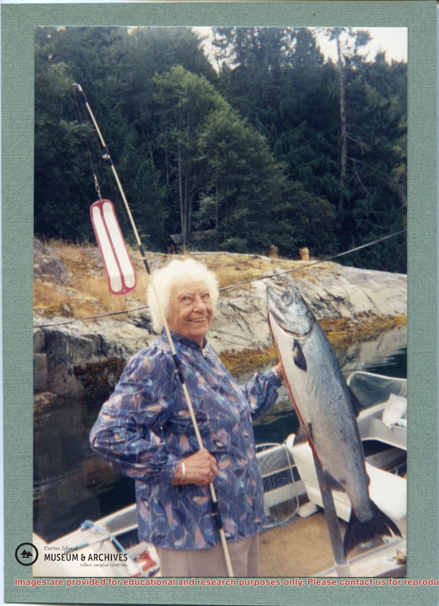
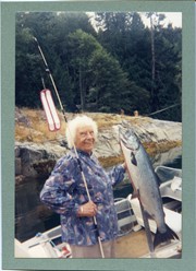
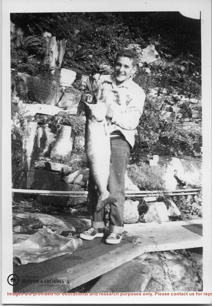
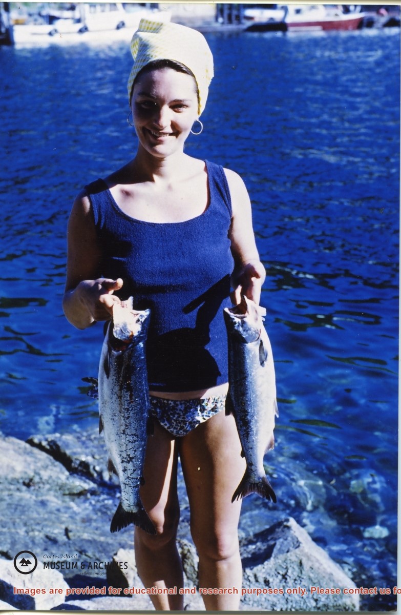
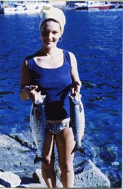
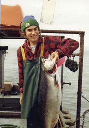
Norm Gibbons holding a salmon caught while fishing with Bud Jarvis. Bud Jarvis married Rene Hope's daughter Joan and they were at Refuge Cove for their honeymoon.
Norm Gibbons holding a salmon caught while fishing with Bud Jarvis. Bud Jarvis married Rene Hope's daughter Joan and they were at Refuge Cove for their honeymoon.
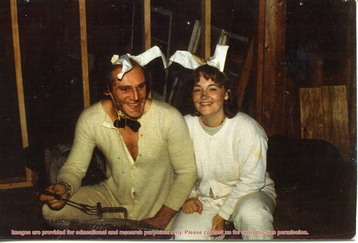
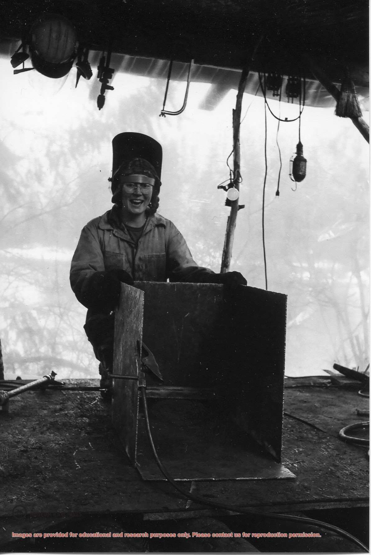
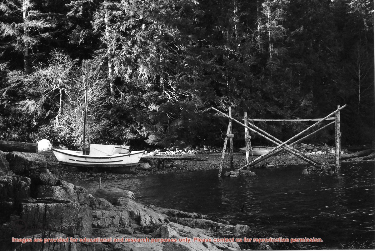
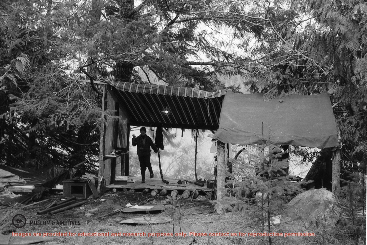
File contains scanned copies of photographs donated by Jim Palmer for the Carrington Bay exhibit in 2009, depicting the community living in Carrington Bay in the 1970s and 1980s.
Jim Palmer and Jan Gemmel lived in a house on the west side of the log jam between Carrington Lagoon and Carrington Bay. Jim built the house at the property of John and Anna Gregg in Manson's Landing and relocated it onto pilings in Carrington Bay. Jim and Jan later fabricated steel pontoons for it. In 1985 the house was moved onto the floats and towed into Gorge Harbour by Bob Thompson with his boat "Sutil Chief".
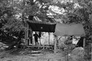
The base map is a zoning map produced by the Regional District of Comox-
Strathcona for the Cortes Island Land Use Project (Aug 1969). Edwards used
coloured pencil to show land and foreshore zones, and transferred information
about early preemptions and old roads and trails from an earlier map (see
Donald Palmer fonds, 2020.002.011, map of Cortes Island, Sayward District, ca.
1915).
File contains zoning maps for Bylaw 41, Electoral Area I, Schedules A1-A7 with revisions to 1999. There is a map of the whole island and larger scale maps of island areas.
File contains Plan Map Schedule A-1, Development Proposal Referral forms about changing the zoning bylaw designations to reflect the Official Community Plan of 1995, the agenda for an APC meeting and photocopies of FOCI/CIFC maps of Cortes Island land tenure.
File contains Plan Map Schedule A-1, Development Proposal Referral forms about changing the zoning bylaw designations to reflect the Official Community Plan of 1995, the agenda for an APC meeting and photocopies of FOCI/CIFC maps of Cortes Island land tenure.
File contains correspondence re Aquaculture bylaw #2300, a draft Cortes Island zoning bylaw (2001), and a map, the Official Community Plan Map Schedule A, 1993 and Bylaw 1896 to amend the OCP if 1995.
File contains correspondence re Aquaculture bylaw #2300, a draft Cortes Island zoning bylaw (2001), and a map, the Official Community Plan Map Schedule A, 1993 and Bylaw 1896 to amend the OCP if 1995.