Letter from Mary Marlatt to Ottie Weiler and photocopied newspaper article with information about the Marlatt family, who lived on Marina Island from 1907-1912
Letter from Mary Marlatt to Ottie Weiler and photocopied newspaper article with information about the Marlatt family, who lived on Marina Island from 1907-1912
The base map is a zoning map produced by the Regional District of Comox-
Strathcona for the Cortes Island Land Use Project (Aug 1969). Edwards used
coloured pencil to show land and foreshore zones, and transferred information
about early preemptions and old roads and trails from an earlier map (see
Donald Palmer fonds, 2020.002.011, map of Cortes Island, Sayward District, ca.
1915).
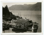
Photograph of The "Columbia" and the "John Antle" at the end of the wharf on Stuart Island, along with other boats. This is cropped from #1999.001.947.
Photograph of The "Columbia" and the "John Antle" at the end of the wharf on Stuart Island, along with other boats. This is cropped from #1999.001.947.
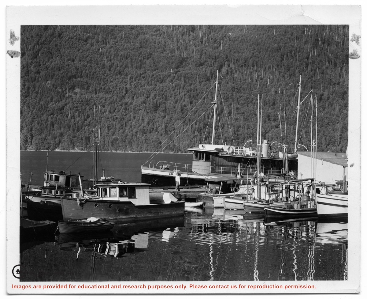
Photograph of the "Columbia" and the "John Antle" at the wharf on Stuart Island. Other boats are also tied up at the dock; there are buildings at the head of the wharf. See also #1999.001.938, which is a crop from this photo.
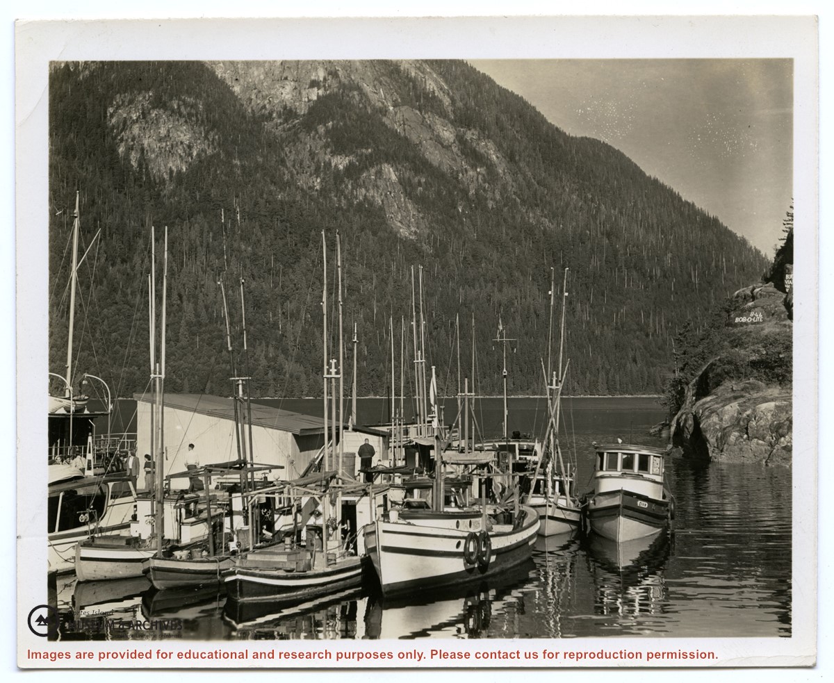
2 photograph prints: b&w; 12.5 x 10 cm and 25.5 x 12 cm
Scope and Content
Photograph of the "Columbia" and the "John Antle" at the wharf on Stuart Island. Other boats are also tied up at the dock; there are buildings at the head of the wharf. See also #1999.001.938, which is a crop from this photo.

.jpg?width=1200&404=no-img.jpg&watermark=wmk)
.jpg?width=1200&404=no-img.jpg&watermark=wmk)
.jpg?width=1200&404=no-img.jpg&watermark=wmk)
.jpg?width=180&404=no-img.jpg)