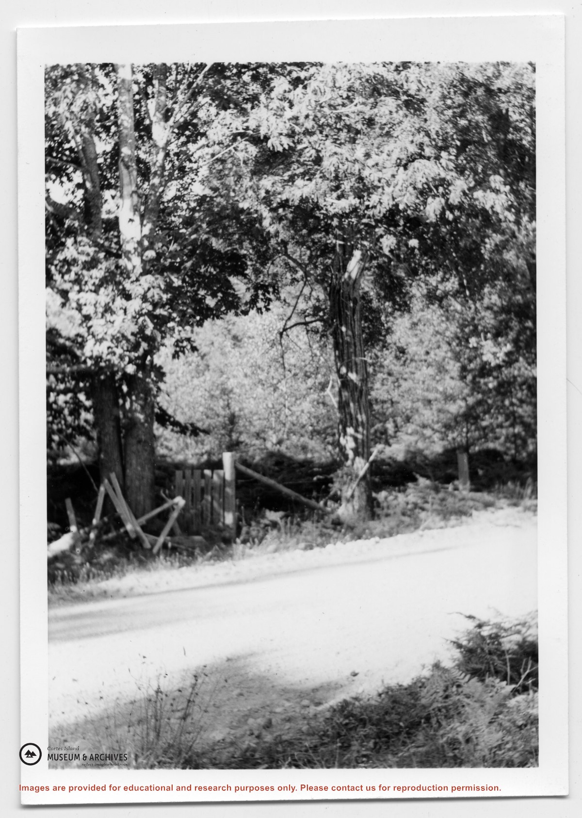
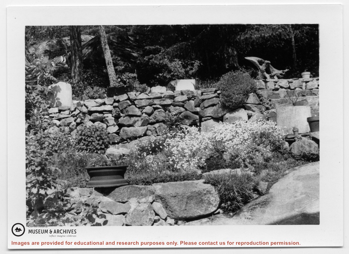
Series consists of issues of "The Log", a bimonthly publication of the Columbia Coast Mission of the Anglican Church. These copies of "The Log" have been extensively annotated by Douglas and contain some articles written by her. The articles and photographs in these publications provide a lively picture of coastal life during this period.
The Columbia Coast Mission (CCM) was founded in 1915 by the Rev. John Antle, with a mandate to minister to the physical, spiritual and social needs of the residents of the remote areas of coastal British Columbia. From 1944 to 1961 the CCM had a base in Whaletown from which the patrol boat "Rendezvous" visited the isolated communities and settlers of Cortes and neighboring islands. Douglas made some trips with CCM patrol boats in the early 1950s and wrote articles about the CCM for "The Log" and other periodicals.
Scope and Content
Series consists of issues of "The Log", a bimonthly publication of the Columbia Coast Mission of the Anglican Church. These copies of "The Log" have been extensively annotated by Douglas and contain some articles written by her. The articles and photographs in these publications provide a lively picture of coastal life during this period.
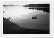
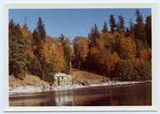
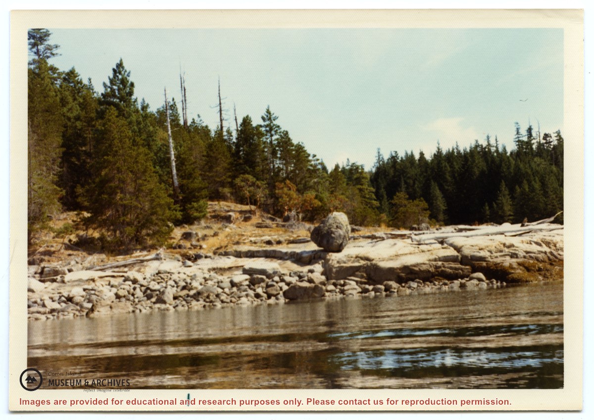
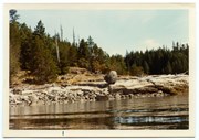
Photograph of a large rock, balanced on the smooth rocks just above the water. Location is between Channel Rock and Whaletown, near the present-day site of the Sherwood's house.
Photograph of a large rock, balanced on the smooth rocks just above the water. Location is between Channel Rock and Whaletown, near the present-day site of the Sherwood's house.
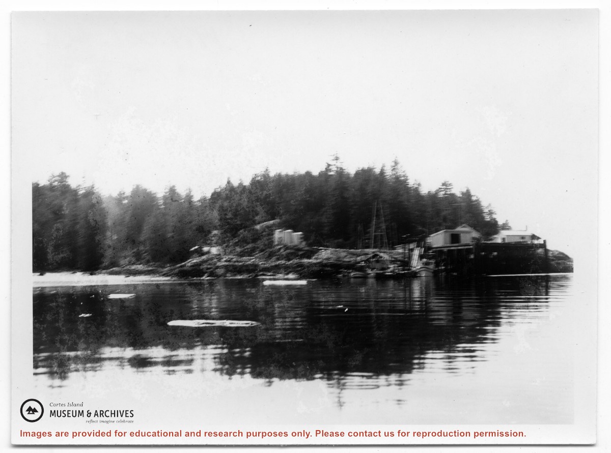
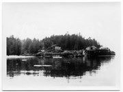
Photograph of Whaletown taken from the water, showing the wharf with the freight shed and fuel shed to its right; the store behind, and the fuel tanks on the rocks to the right.
Photograph of Whaletown taken from the water, showing the wharf with the freight shed and fuel shed to its right; the store behind, and the fuel tanks on the rocks to the right.
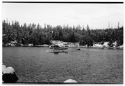
Photograph of Whaletown Bay taken from the water, showing the navigation marker at the entrance, and the houses to the left of the future site of the ferry landing.
Photograph of Whaletown Bay taken from the water, showing the navigation marker at the entrance, and the houses to the left of the future site of the ferry landing.
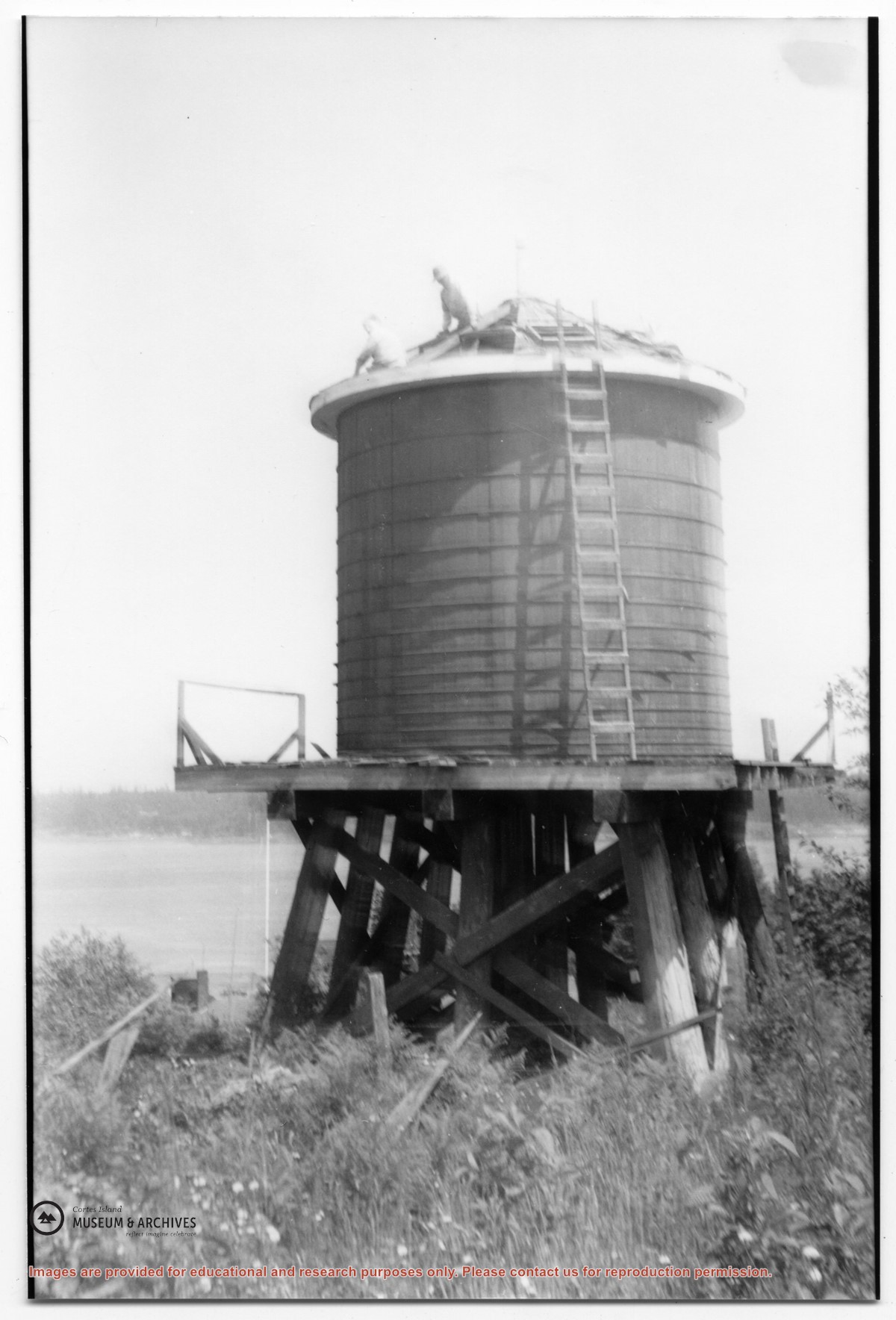
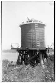
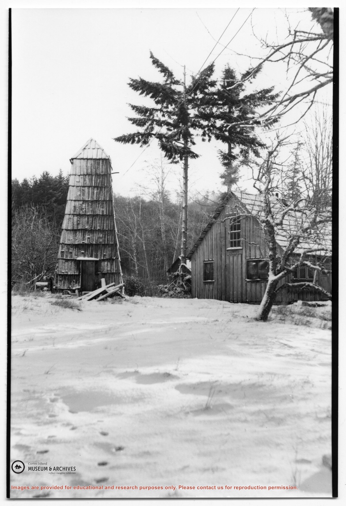
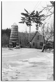
Photograph of the house beside the creek at the Robertson homestead in Whaletown, "Burnside". To the left is a tall round shingled water tower. (Same as #2003.002.471)
Photograph of the house beside the creek at the Robertson homestead in Whaletown, "Burnside". To the left is a tall round shingled water tower. (Same as #2003.002.471)
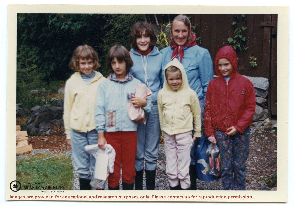
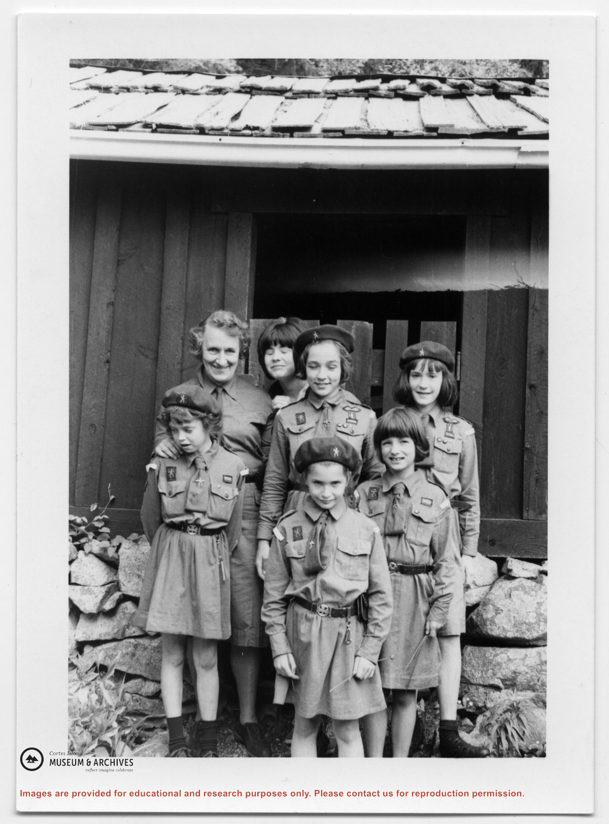
Photograph of the Whaletown Brownie troop at Channel Rock.
Back row, L to R: Doris Maclean (troop leader), (ID), Sheryl Mathews, Johnnie Weiler.
Front row, L to R: Heather Maclean, Sarah Weiler, Jeannie Mathews
Photograph of the Whaletown Brownie troop at Channel Rock.
Back row, L to R: Doris Maclean (troop leader), (ID), Sheryl Mathews, Johnnie Weiler.
Front row, L to R: Heather Maclean, Sarah Weiler, Jeannie Mathews
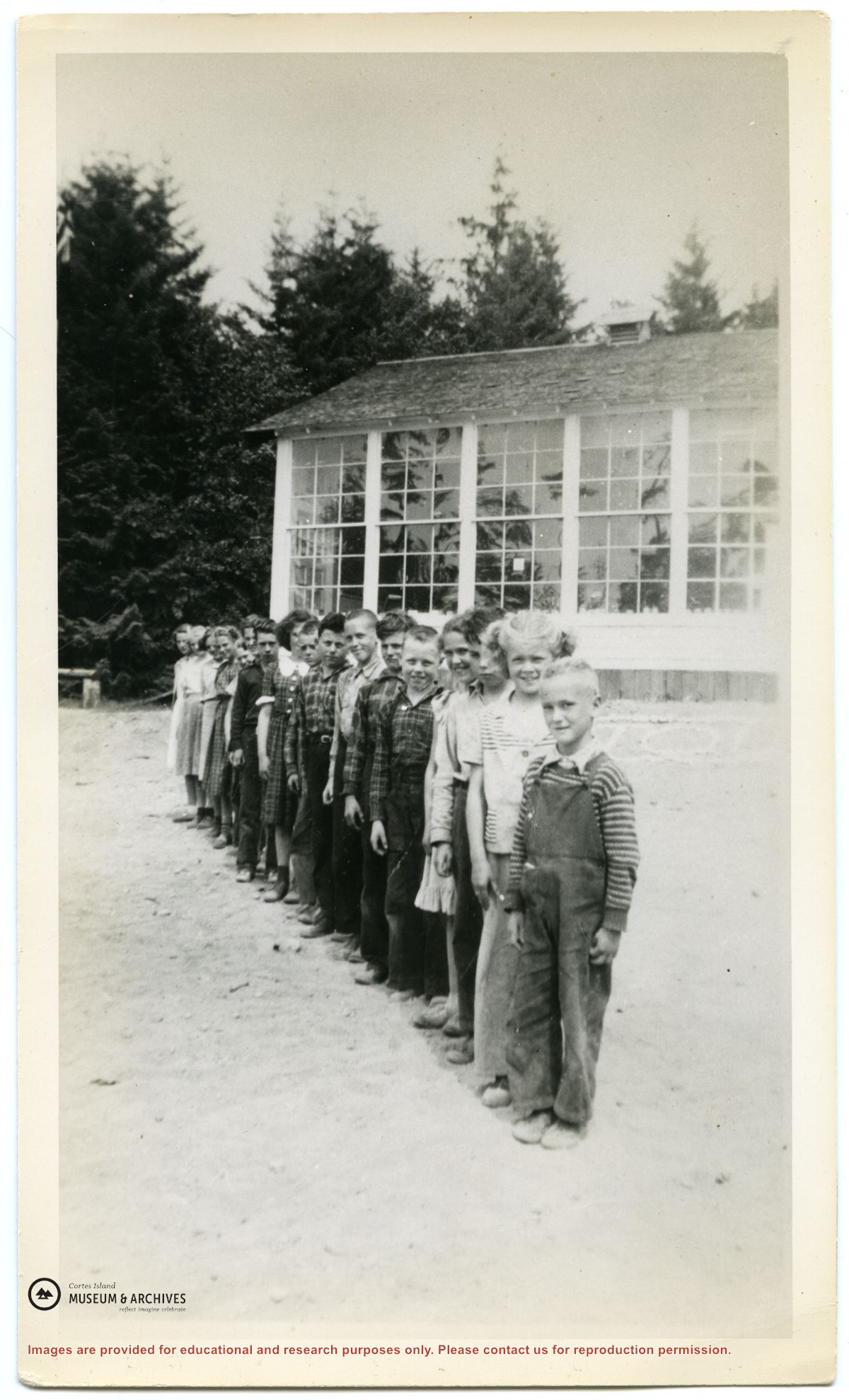
Photograph of the pupils of the Whaletown school lined up in front of the school, which was located at the gravel pit on the road to Coulter Bay.
For a list of the pupils' names, their parents, and where they lived, see Folder #?? .
2 photograph prints: b&w; 12 x 18 cm & 11.5 x 19 cm
Scope and Content
Photograph of the pupils of the Whaletown school lined up in front of the school, which was located at the gravel pit on the road to Coulter Bay.
For a list of the pupils' names, their parents, and where they lived, see Folder #?? .