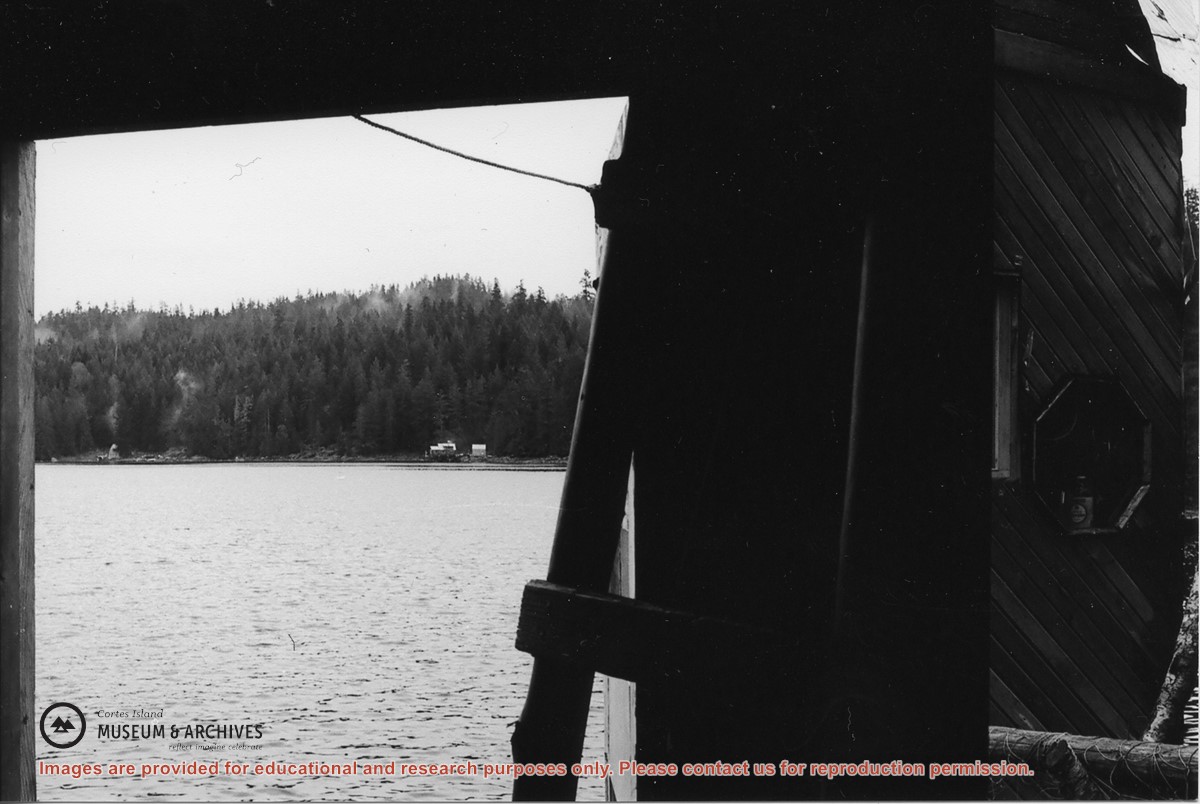
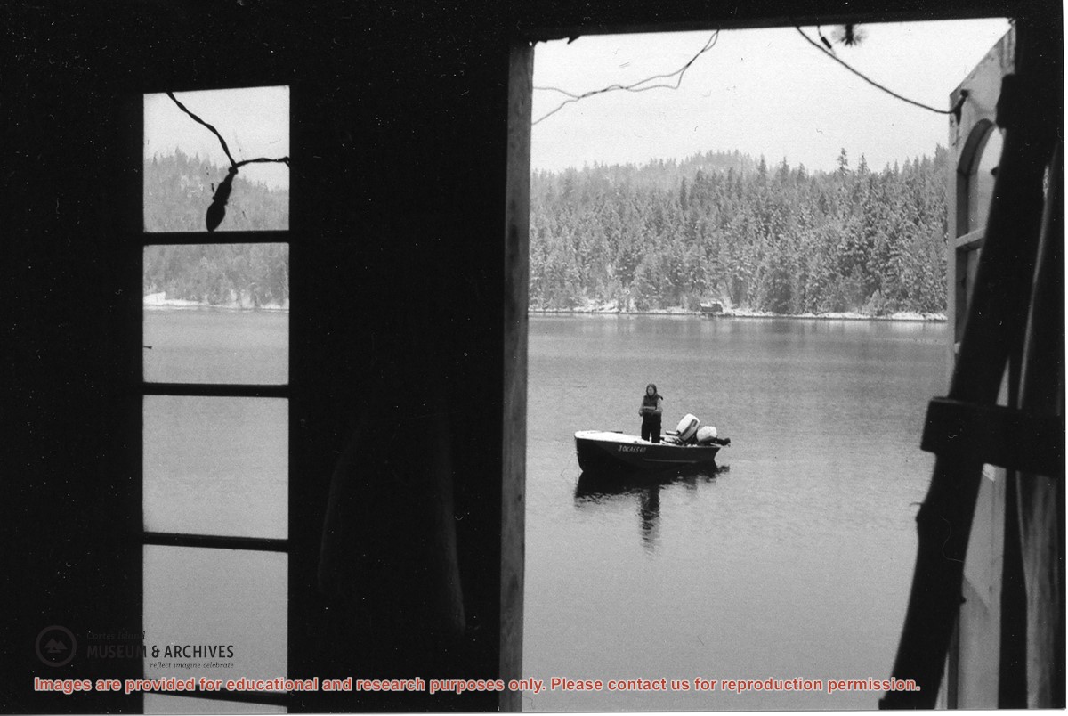
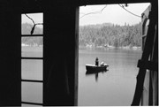
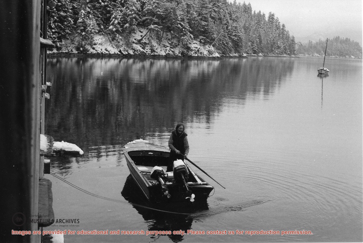
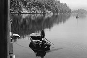
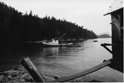
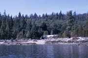
Looking out the door of Jim & Jan’s float house; Alan Bent & Gail Johnson’s house (right), Jason & Kathy’s (left) on the east of Carrington Bay in the distance.
Binder contains interviews, stories, clippings and photographs documenting the social history of the Coulter Bay and Carrington Bay areas. It was created as part of the Windows on Whaletown Exhibit, curated and mounted by Doreen Thompson.
Binder contains interviews, stories, clippings and photographs documenting the social history of the Coulter Bay and Carrington Bay areas. It was created as part of the Windows on Whaletown Exhibit, curated and mounted by Doreen Thompson.
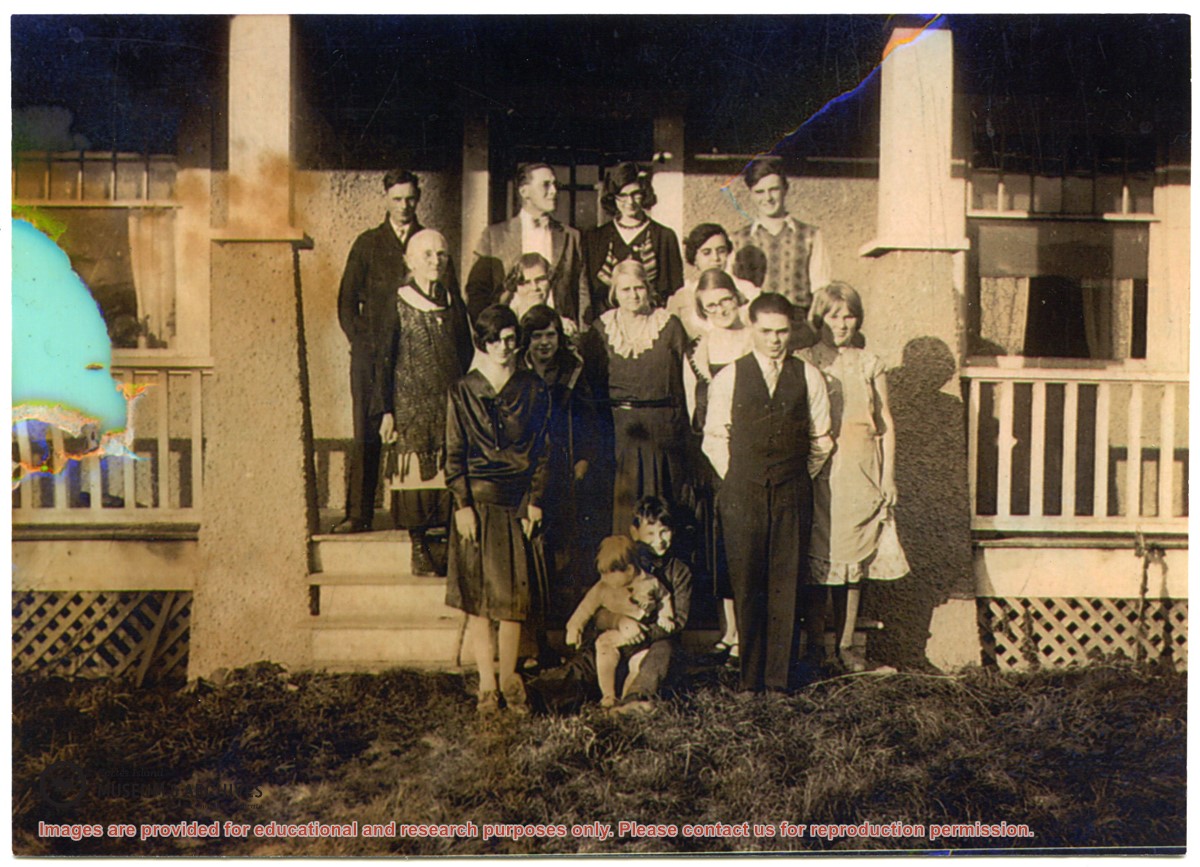
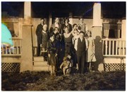
Photograph of a group of people on a porch. This is possibly a portrait of the Froud family, as the photo was found in the house they built (current address: 757 Sutil Point Rd., Mansons Landing).
Photograph of a group of people on a porch. This is possibly a portrait of the Froud family, as the photo was found in the house they built (current address: 757 Sutil Point Rd., Mansons Landing).
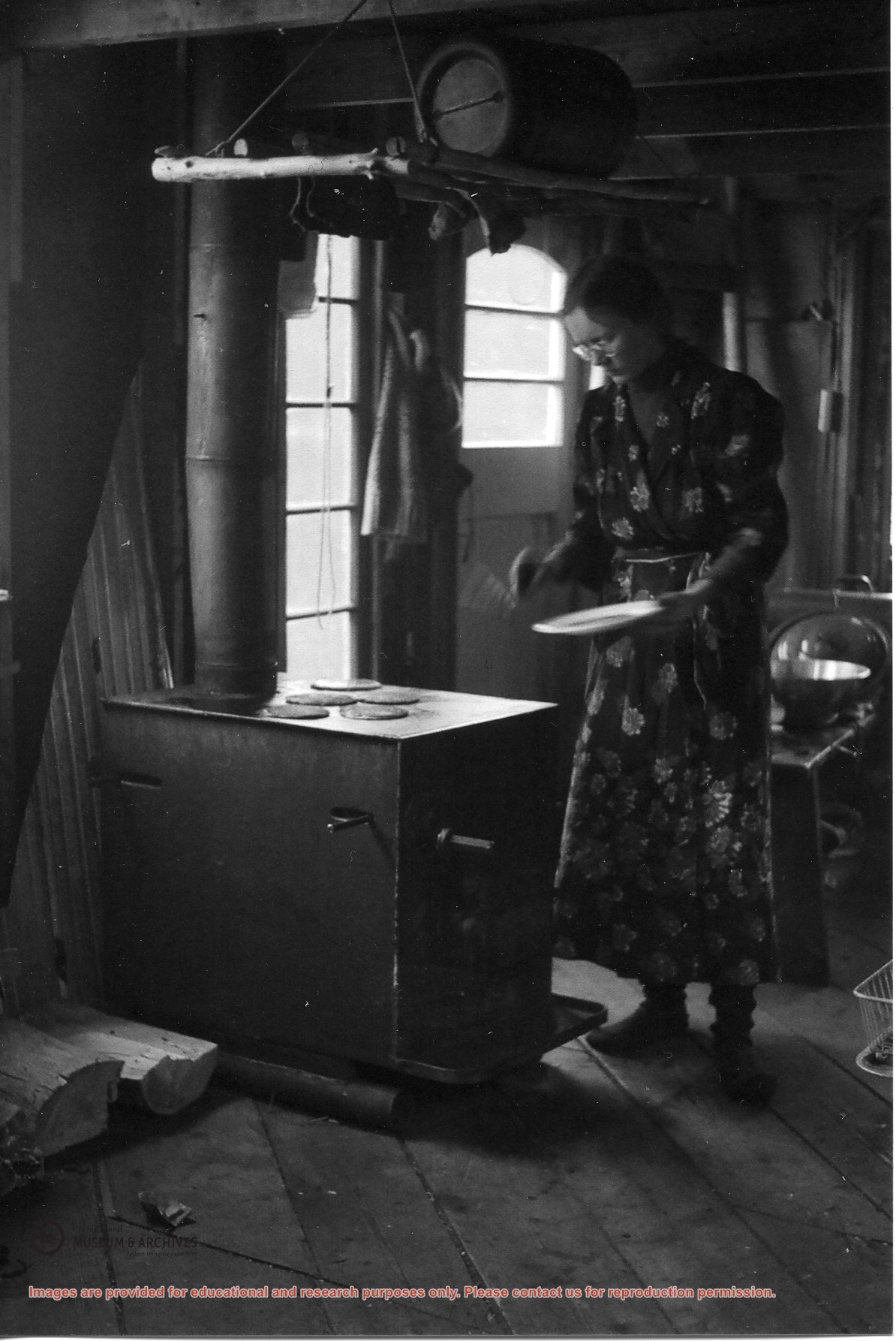
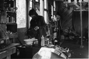
L to R: Kiyoshi Kosky, Justin Stirn, Mike ?, John Shook
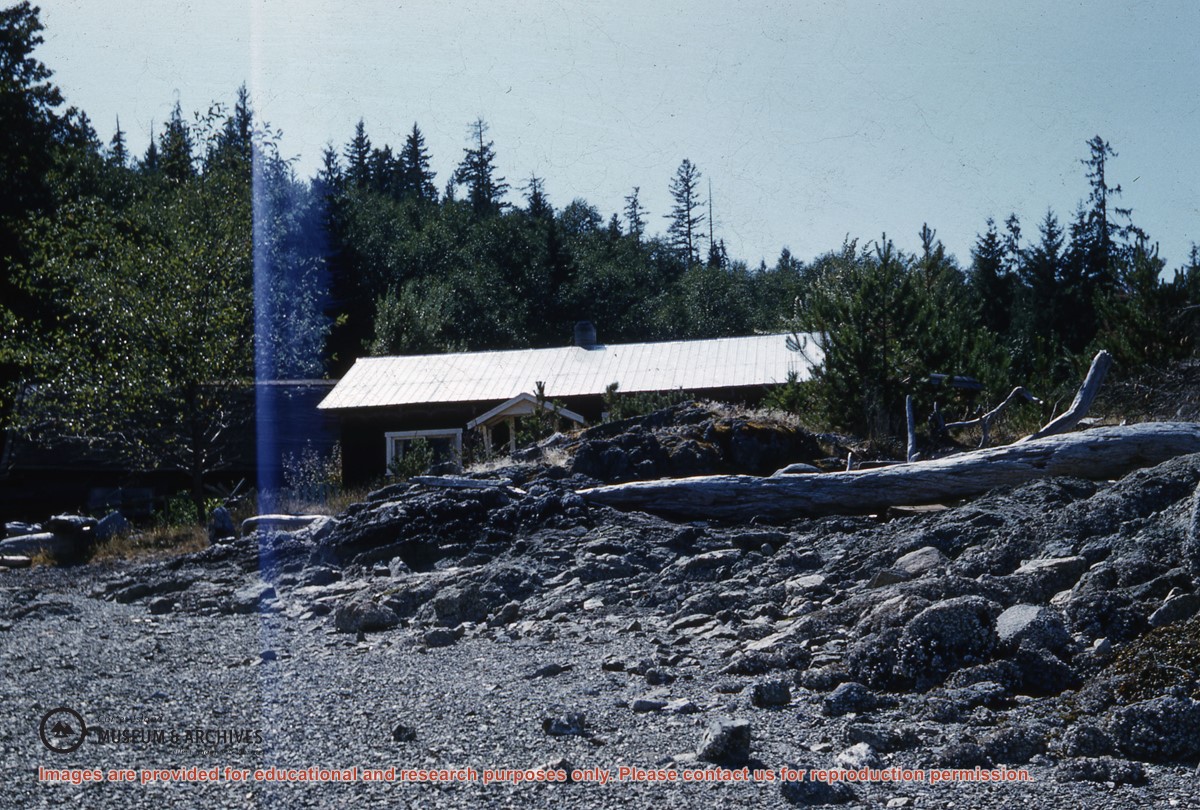
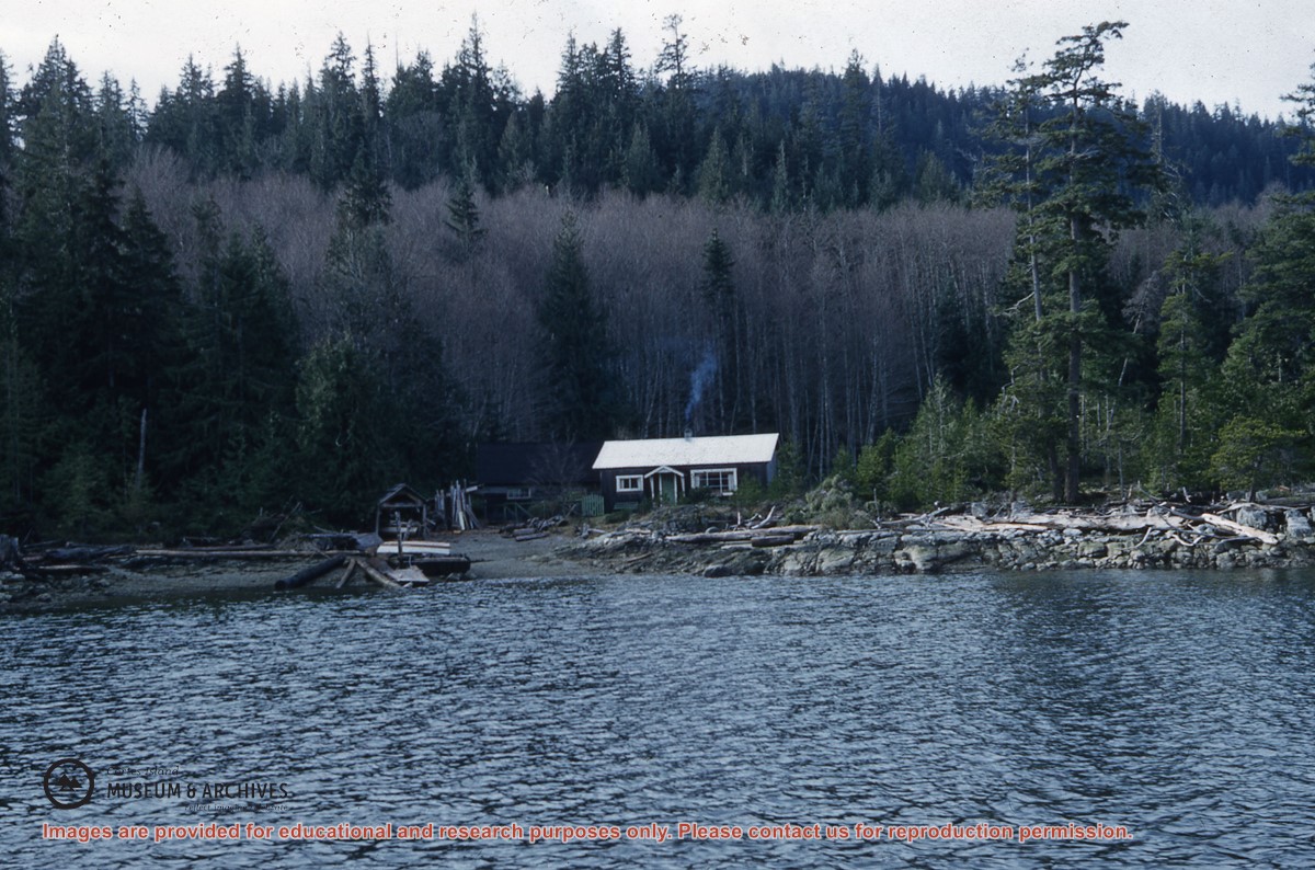
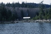
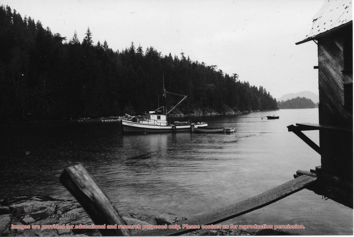
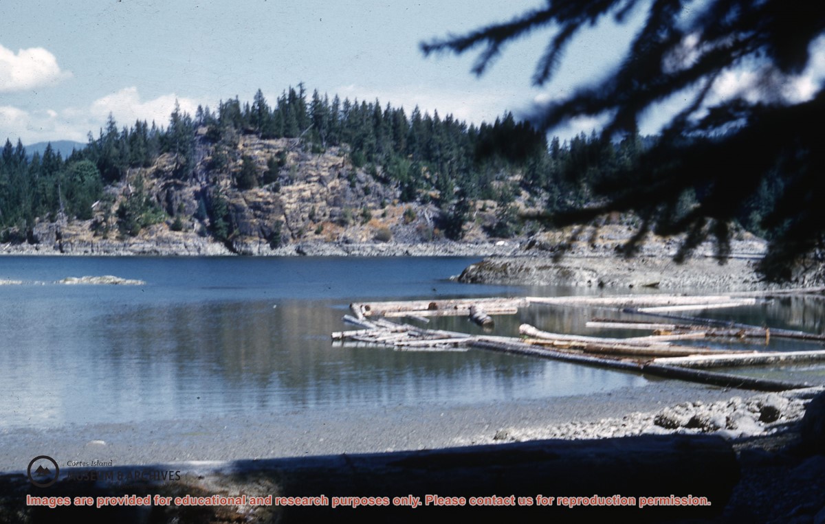
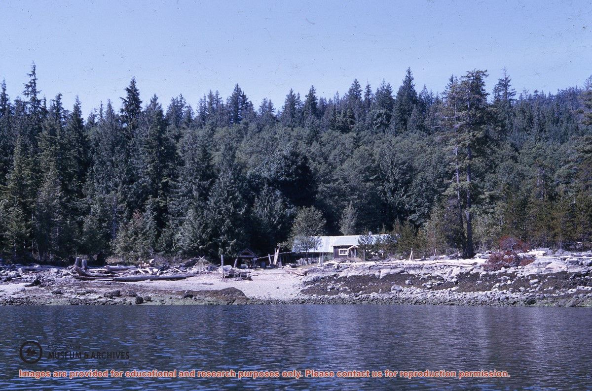
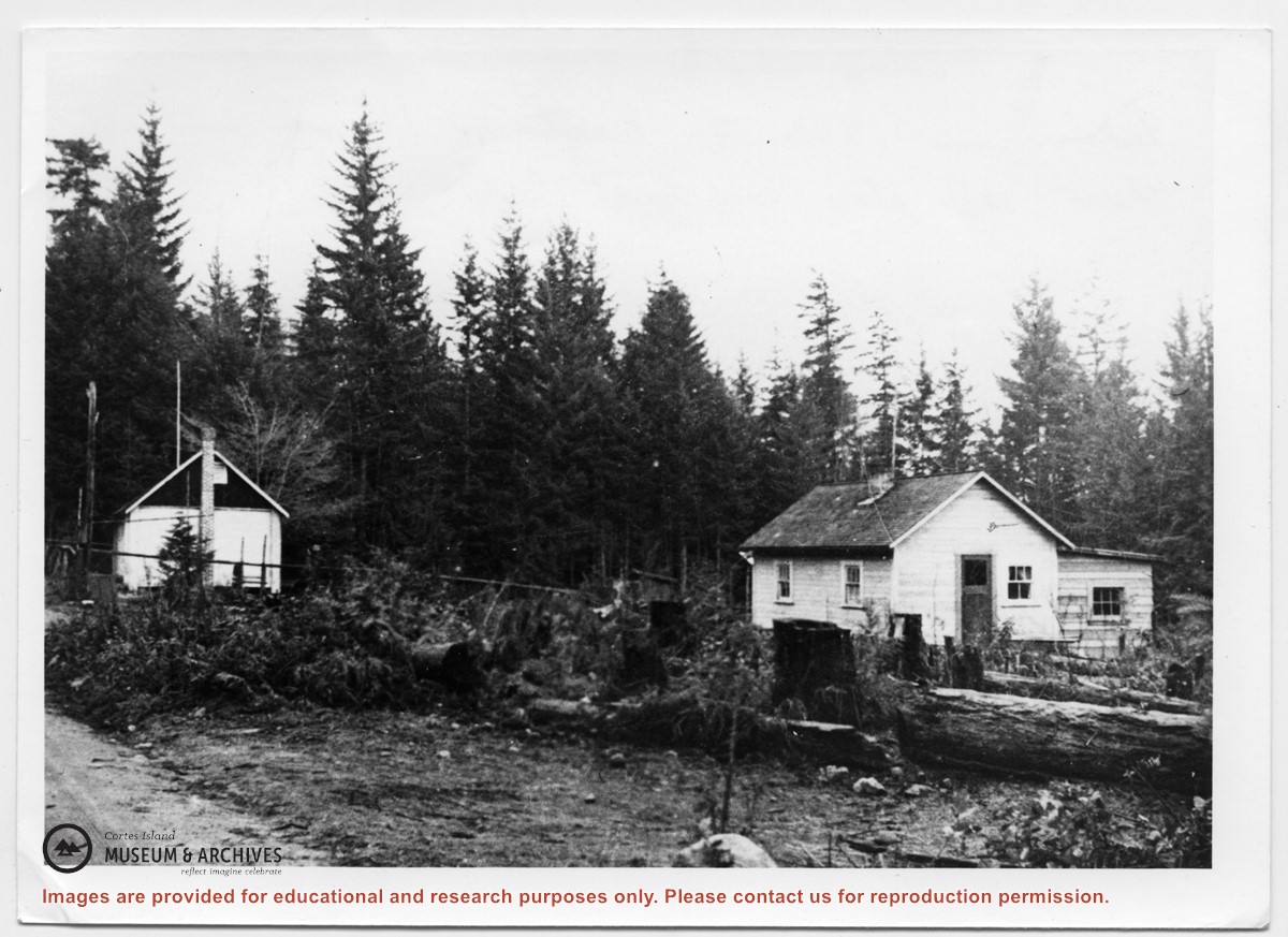
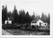
Part of a series of 8 photographs which document a clean-up at the proposed Carrington Bay Park site. The squatters' cabin was built in the 1970s, on the east side of Carrington Bay.
L to R: Kiyoshi Kosky, Justin Stirn, Mike ?, John Shook
Part of a series of 8 photographs which document a clean-up at the proposed Carrington Bay Park site. The squatters' cabin was built in the 1970s, on the east side of Carrington Bay.
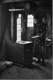
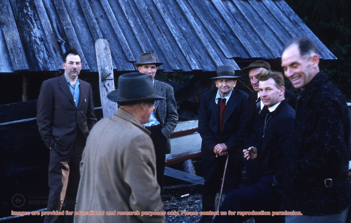
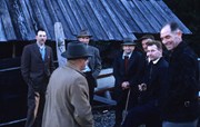
L to R: John Shook, Justin Stirn, Pierre DeTrey, Kiyoshi Kosky, Cedar DeTrey
Part of a series of 8 photographs which document a clean-up at the proposed Carrington Bay Park site. The squatters' cabin was built in the 1970s, on the east side of Carrington Bay.
L to R: John Shook, Justin Stirn, Pierre DeTrey, Kiyoshi Kosky, Cedar DeTrey
Part of a series of 8 photographs which document a clean-up at the proposed Carrington Bay Park site. The squatters' cabin was built in the 1970s, on the east side of Carrington Bay.
File contains photocopies of original Crown Grants, subsequent title changes and maps for:
To Joseph Gregson: 1926, Crown Grant for fractional W 1/2 of Lot 899 and Lot 901 (between Coulter and Carrington Bays), with a water easement for Wailes
To John Nugent McIllree: 1957, Crown Grant of mineral rights to lots at Coulter Bay surveyed as the "Arrow" and "Bullseye" mineral claims
To Hilda Peterson: 1919, Crown Grant for Lot 878, Carrington Bay, 55 acres
(Files 12 through 16 are from the same envelope.)
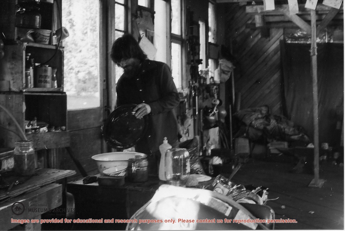
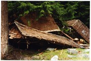
L to R: Cedar DeTrey, Mike ?, John Shook
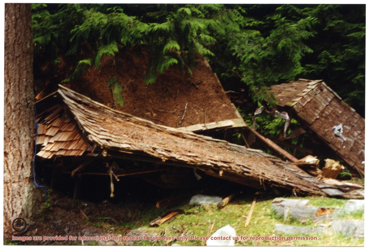
Part of a series of 8 photographs which document a clean-up at the proposed Carrington Bay Park site. The squatters' cabin was built in the 1970s, on the east side of Carrington Bay.
L to R: Cedar DeTrey, Mike ?, John Shook
Part of a series of 8 photographs which document a clean-up at the proposed Carrington Bay Park site. The squatters' cabin was built in the 1970s, on the east side of Carrington Bay.