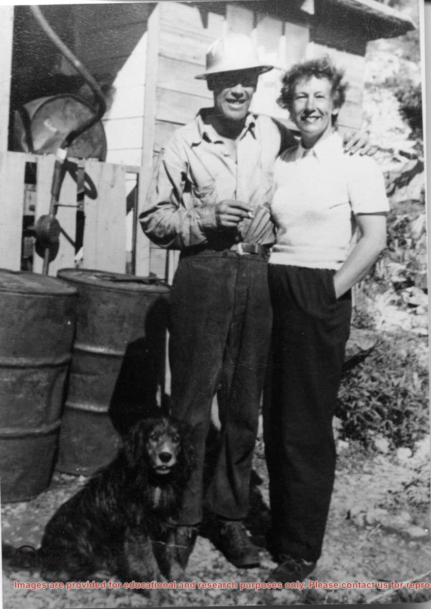
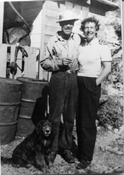
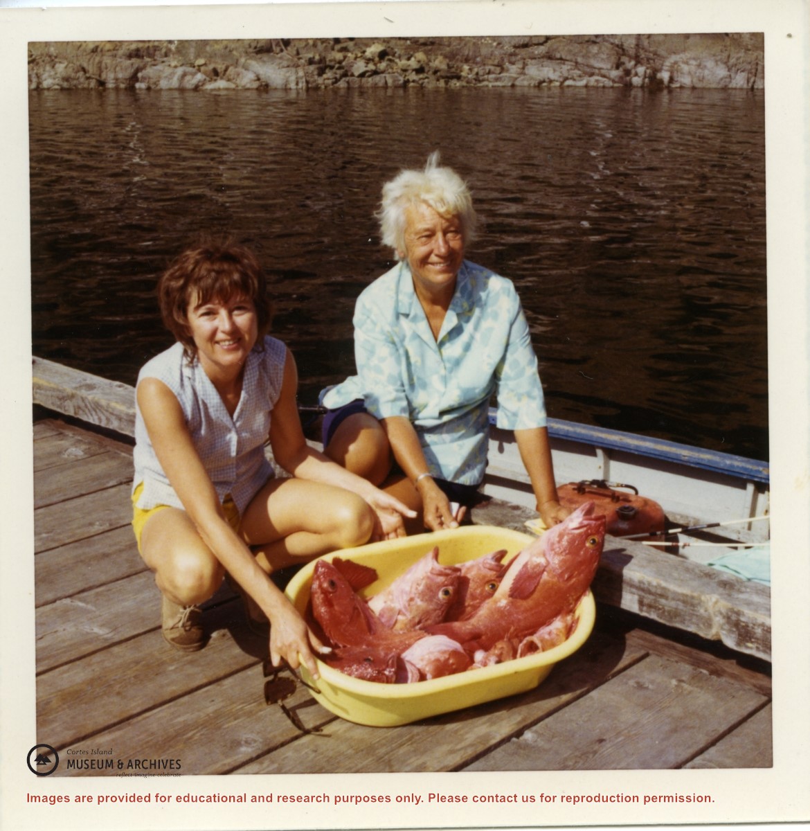
The Hopes are standing beside the cook house at their logging camp in Lewis Channel. Their water spaniel Stinky once swam home to Refuge Cove from Squirrel Cove, a distance of 3.7 miles.
The Hopes are standing beside the cook house at their logging camp in Lewis Channel. Their water spaniel Stinky once swam home to Refuge Cove from Squirrel Cove, a distance of 3.7 miles.
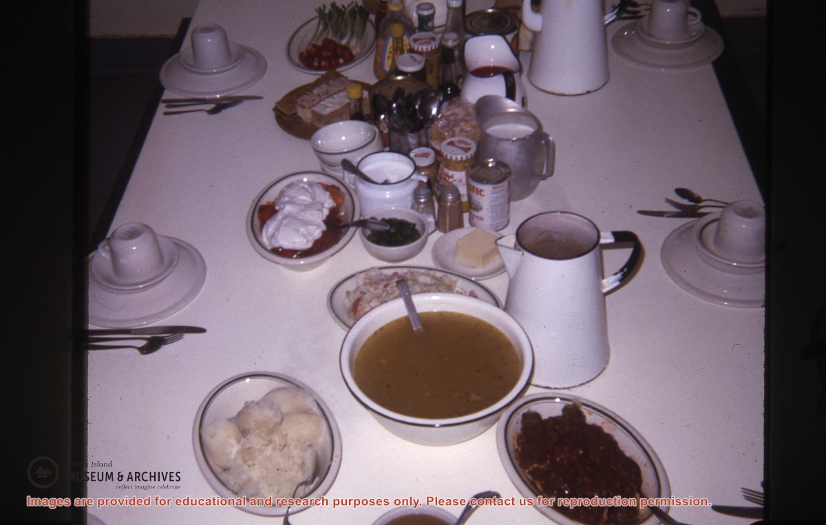
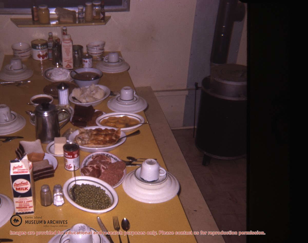
Part of a series of photographs taken by Don Maclean at a logging camp at the Quatam River in Ramsey Arm, BC. The camp was likely one of the stops on his patrol for the Columbia Coast Mission.
Slides were taken by Don Maclean and donated by Janice Kerr Maclean, Sept. 9, 2021.
Scope and Content
Part of a series of photographs taken by Don Maclean at a logging camp at the Quatam River in Ramsey Arm, BC. The camp was likely one of the stops on his patrol for the Columbia Coast Mission.
Part of a series of photographs taken by Don Maclean at a logging camp at the Quatam River in Ramsey Arm, BC. The camp was likely one of the stops on his patrol for the Columbia Coast Mission.
Slides were taken by Don Maclean and donated by Janice Kerr Maclean, Sept. 9, 2021.
Scope and Content
Part of a series of photographs taken by Don Maclean at a logging camp at the Quatam River in Ramsey Arm, BC. The camp was likely one of the stops on his patrol for the Columbia Coast Mission.
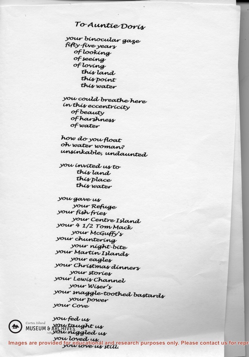
Doris Hope provided a fish and chips dinner for the Refuge Cove community every Friday, cooking on two large propane burners set up on the back porch of her house,
Doris Hope provided a fish and chips dinner for the Refuge Cove community every Friday, cooking on two large propane burners set up on the back porch of her house,
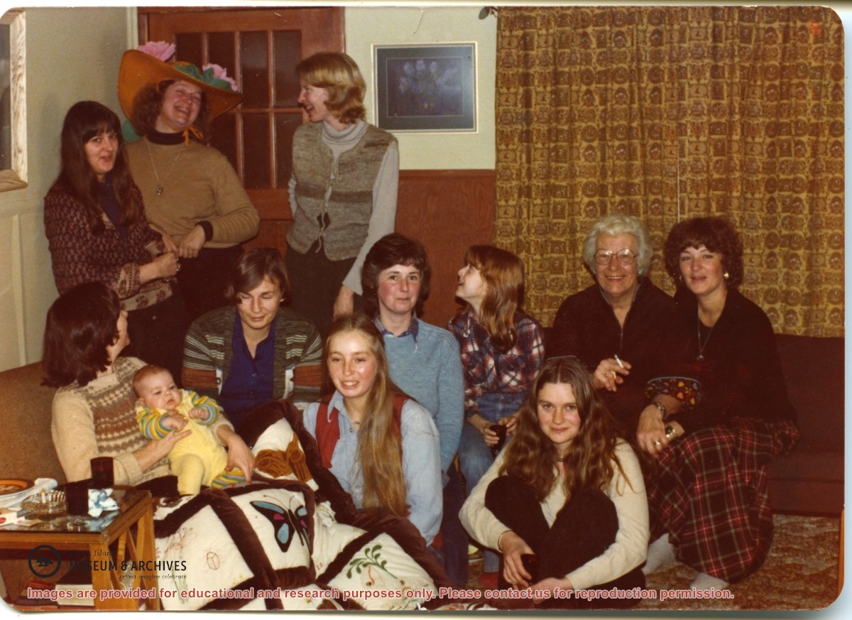
Standing, L to R: Inez White, Judith Williams, Sherry Hall
Seated, L to R: Bonnie MacDonald holding daughter Lucy, Ann Ferguson, Pat Lovell, Judy White, (? ID), Doris Hope, Denise Gibbons,
In front of Doris Hope: (? - lived in Teakerne Arm)
Standing, L to R: Inez White, Judith Williams, Sherry Hall
Seated, L to R: Bonnie MacDonald holding daughter Lucy, Ann Ferguson, Pat Lovell, Judy White, (? ID), Doris Hope, Denise Gibbons,
In front of Doris Hope: (? - lived in Teakerne Arm)
File contains newspaper clippings about a visit of the Whaletown School class to Vancouver; a "Whaletown Round-Up" column written by Gilean Douglas, 1956; a photocopy of an article about the purchase of Smelt Bay Park, 1973; and a craft store in Whaletown, 1975.
File contains newspaper clippings about a visit of the Whaletown School class to Vancouver; a "Whaletown Round-Up" column written by Gilean Douglas, 1956; a photocopy of an article about the purchase of Smelt Bay Park, 1973; and a craft store in Whaletown, 1975.
File contains an informational booklet created by the Friends of Cortes through a grant from Canada Works. Topics include island geography, social and natural history, place names and tourist education.
File contains an informational booklet created by the Friends of Cortes through a grant from Canada Works. Topics include island geography, social and natural history, place names and tourist education.
File contains two copies of the booklet "Birds of Cortes and Mittlenatch Islands, a checklist with seasonal graphs" by George Sirk, Christian Gronau and Fred Zwickel, published by the authors in 1993.
File contains two copies of the booklet "Birds of Cortes and Mittlenatch Islands, a checklist with seasonal graphs" by George Sirk, Christian Gronau and Fred Zwickel, published by the authors in 1993.
The base map is a zoning map produced by the Regional District of Comox-
Strathcona for the Cortes Island Land Use Project (Aug 1969). Edwards used
coloured pencil to show land and foreshore zones, and transferred information
about early preemptions and old roads and trails from an earlier map (see
Donald Palmer fonds, 2020.002.011, map of Cortes Island, Sayward District, ca.
1915).