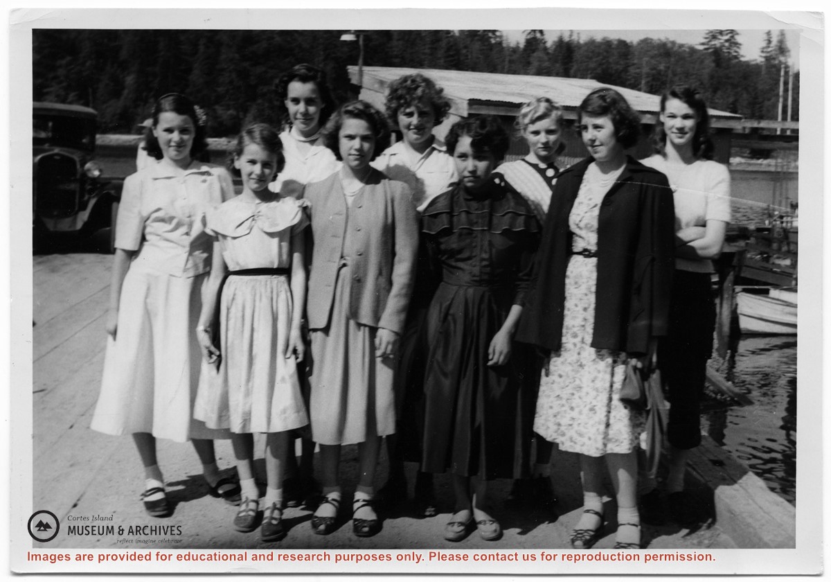
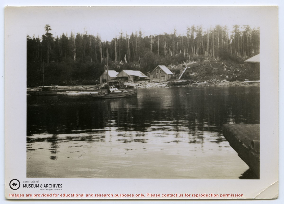
Photograph of a group of girls who were taking part in the Vacation School sponsered by the Columbia Coast Mission standing on the Whaletown wharf, in front of the freight shed. Left to Right: Yvonne and Louise Boas, Beth Hanen, Nola Ogren,Joan Disney, Mary Irwin, Pam Woolsey, Florence Bull, Mary Thompson.
Photograph of a group of girls who were taking part in the Vacation School sponsered by the Columbia Coast Mission standing on the Whaletown wharf, in front of the freight shed. Left to Right: Yvonne and Louise Boas, Beth Hanen, Nola Ogren,Joan Disney, Mary Irwin, Pam Woolsey, Florence Bull, Mary Thompson.
The base map is a zoning map produced by the Regional District of Comox-
Strathcona for the Cortes Island Land Use Project (Aug 1969). Edwards used
coloured pencil to show land and foreshore zones, and transferred information
about early preemptions and old roads and trails from an earlier map (see
Donald Palmer fonds, 2020.002.011, map of Cortes Island, Sayward District, ca.
1915).
File contains an over-size sheet containing the Annual Report of the Cortes Island School, filled out by Miss Lettice, and a letter to the Supt. of Education from Robert Froud. [check]
File contains an over-size sheet containing the Annual Report of the Cortes Island School, filled out by Miss Lettice, and a letter to the Supt. of Education from Robert Froud. [check]