The base map is a zoning map produced by the Regional District of Comox-
Strathcona for the Cortes Island Land Use Project (Aug 1969). Edwards used
coloured pencil to show land and foreshore zones, and transferred information
about early preemptions and old roads and trails from an earlier map (see
Donald Palmer fonds, 2020.002.011, map of Cortes Island, Sayward District, ca.
1915).
File contains various local publications: Blue Jay Lake Gardening Partners newsletter, BC Ferries newsletter, Whaletown National Enquirer and SCCA newsletter.
File contains various local publications: Blue Jay Lake Gardening Partners newsletter, BC Ferries newsletter, Whaletown National Enquirer and SCCA newsletter.
File contains material relating to schools on Cortes Island: a history of the Whaletown school and clippings, including an article about the Whaletown school by Gilean Douglas; a report of the Board of School Trustees, a program from a 1963 Manson's Landing school Christmas concert, and a PAC newsletter.
File contains material relating to schools on Cortes Island: a history of the Whaletown school and clippings, including an article about the Whaletown school by Gilean Douglas; a report of the Board of School Trustees, a program from a 1963 Manson's Landing school Christmas concert, and a PAC newsletter.
File contains five maps of Hernando Island: two showing plans of pre-emptions, 1891-1892; two copies of an old hand-drawn map, 1955; and one map of a later proposed development (undated). Some maps have notes on homesteads.
File contains five maps of Hernando Island: two showing plans of pre-emptions, 1891-1892; two copies of an old hand-drawn map, 1955; and one map of a later proposed development (undated). Some maps have notes on homesteads.
File contains correspondence and associated materials about logging on Cortes, including a letter from Ken Hansen to Friends of Cortes Island, and a membership form with a description of FOCI aims.
File contains correspondence and associated materials about logging on Cortes, including a letter from Ken Hansen to Friends of Cortes Island, and a membership form with a description of FOCI aims.
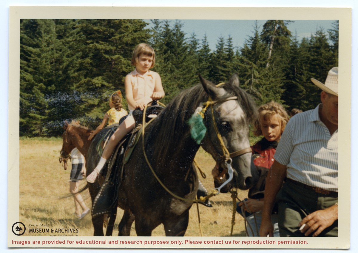
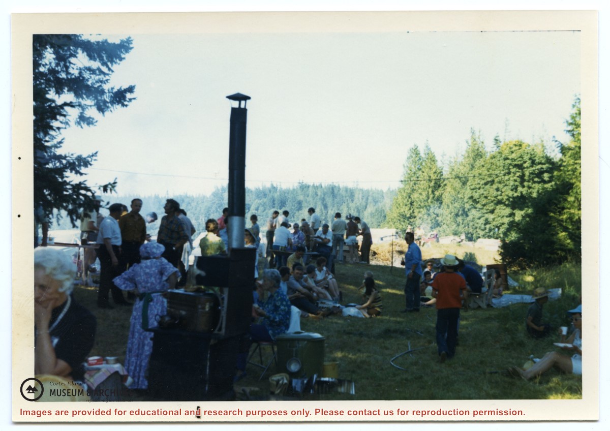
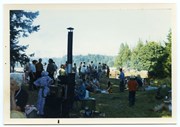
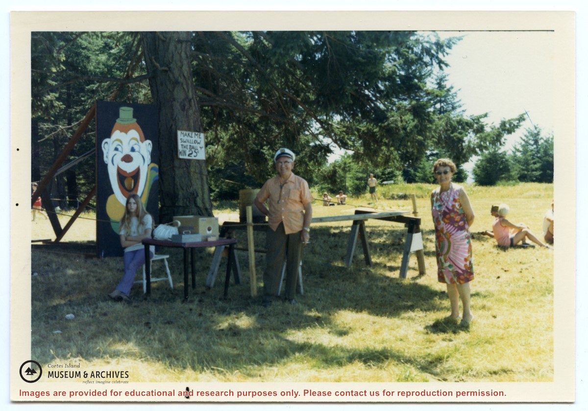
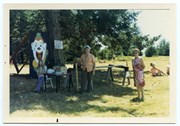
Photograph, taken at Smelt Bay on Cortes Island Day, of Bill Jenkins and Jean Jenkins (R) beside a booth with a sign that says "Make me swallow the ball". (check)
Photograph, taken at Smelt Bay on Cortes Island Day, of Bill Jenkins and Jean Jenkins (R) beside a booth with a sign that says "Make me swallow the ball". (check)