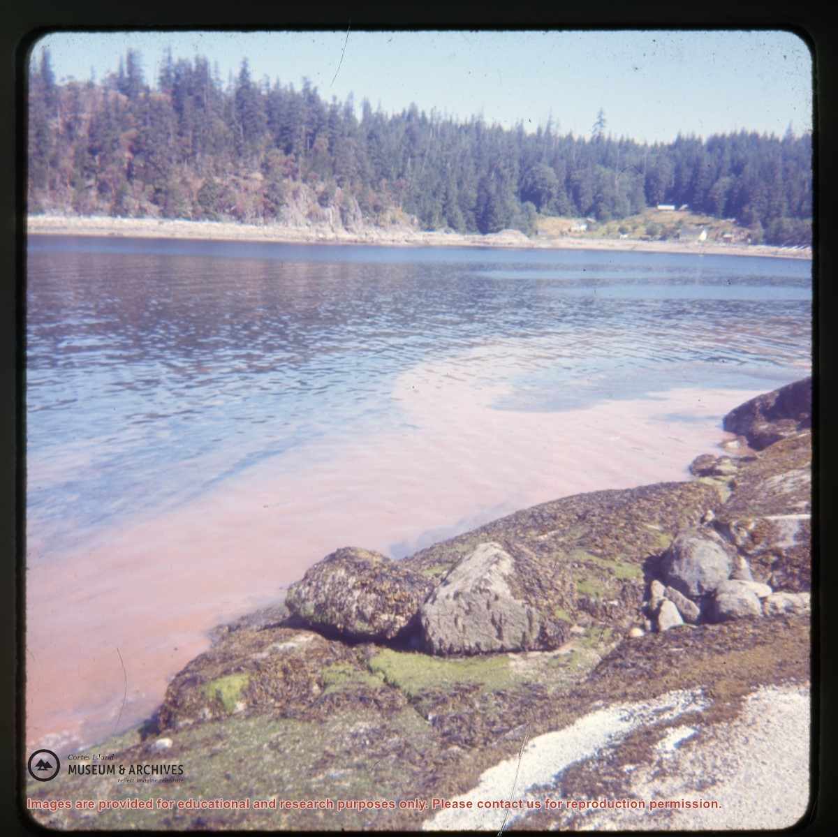
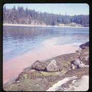
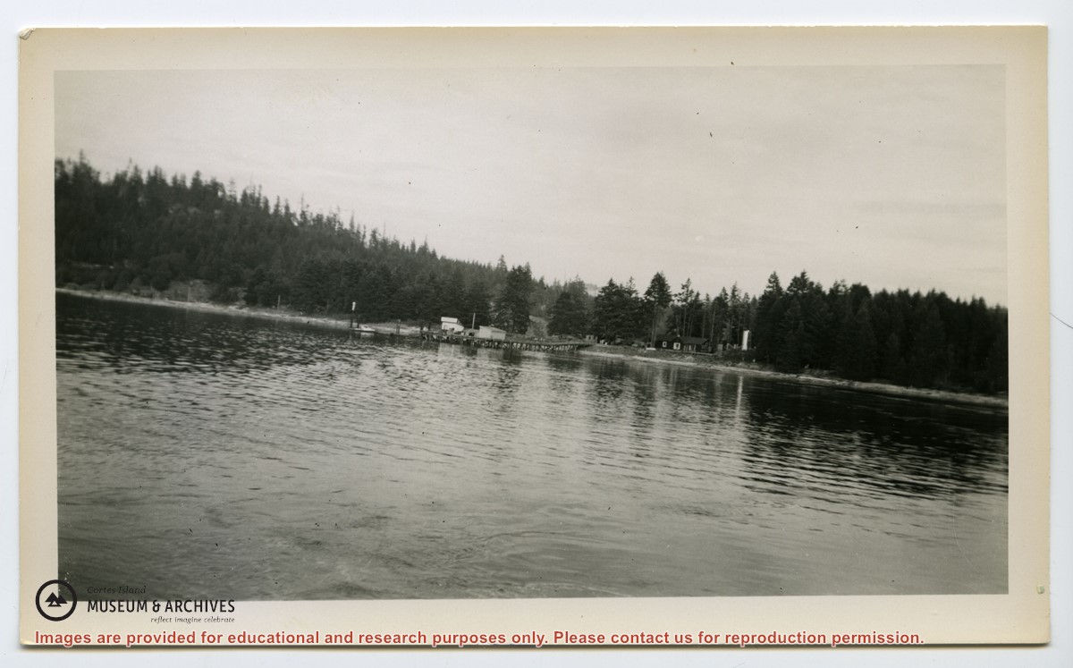
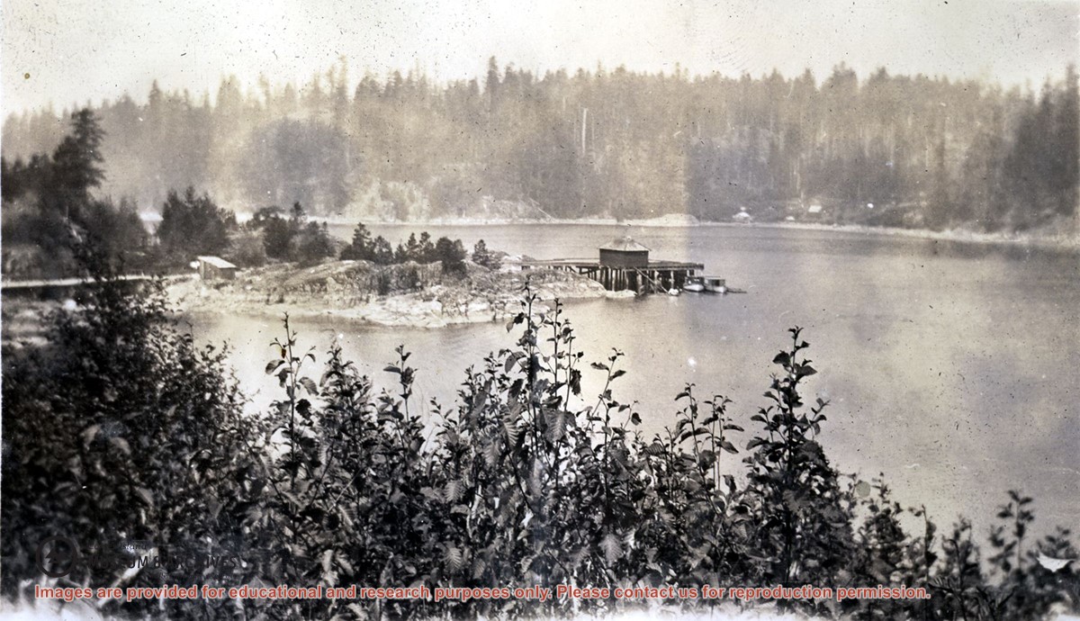
Photograph of Whaletown Bay taken from the water, showing the navigation marker at the entrance, and the houses to the left of the future site of the ferry landing.
Photograph of Whaletown Bay taken from the water, showing the navigation marker at the entrance, and the houses to the left of the future site of the ferry landing.
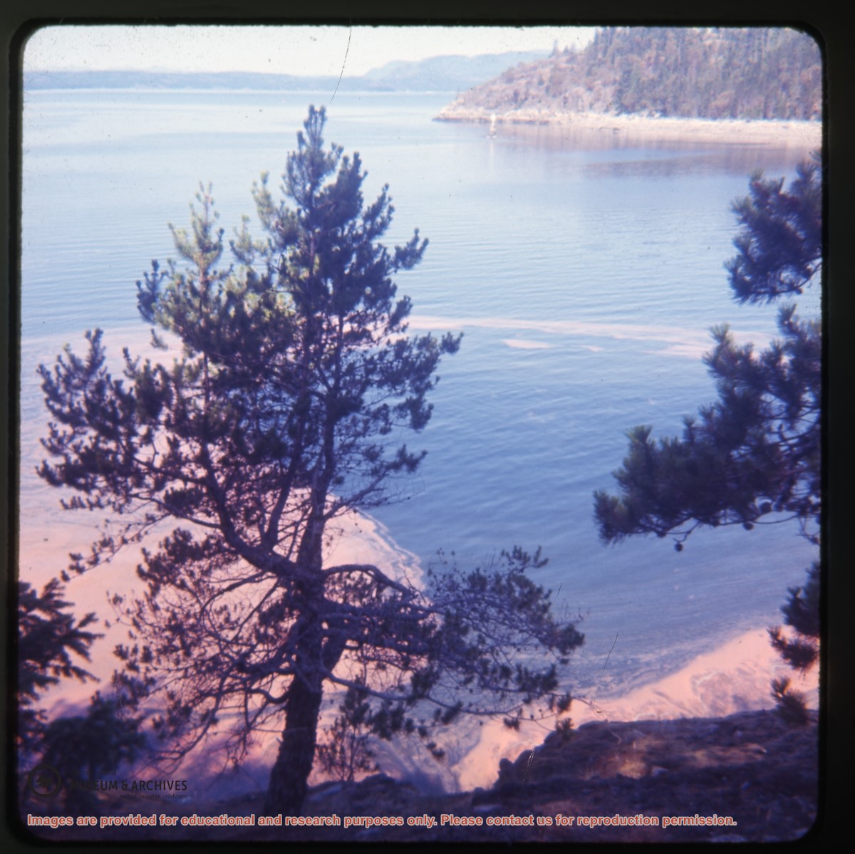
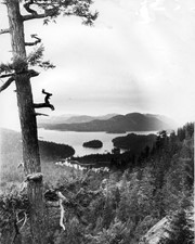
Looking north from Green Mountain over Carrington Lagoon and Carrington Bay (tidal falls in between) across 5 miles of water to Read Island, with a slew of islands to the north.
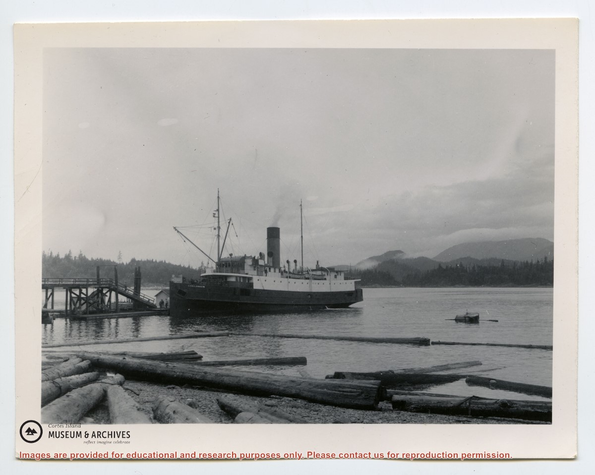
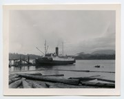
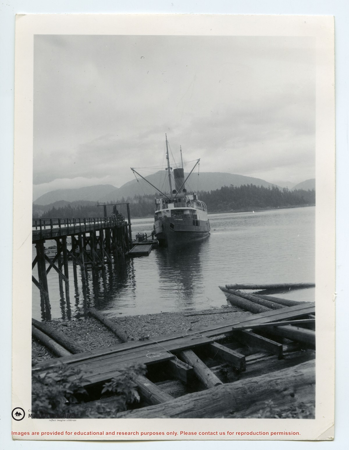
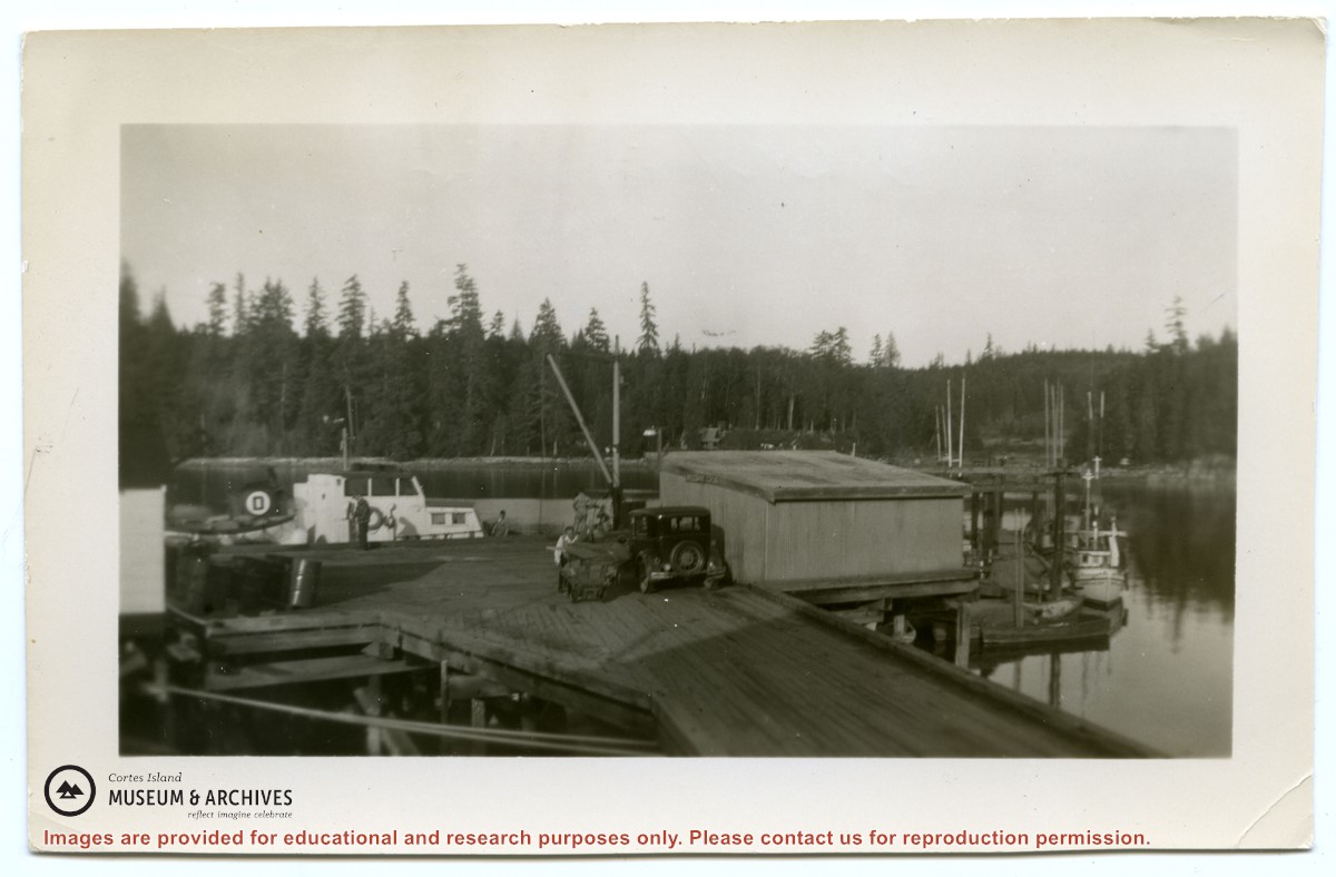
Photograph shows an old car parked beside the freight shed on the Whaletown wharf. Beside it a man is pushing the freight cart; a freight boat is alongside the wharf at back.
Photograph shows an old car parked beside the freight shed on the Whaletown wharf. Beside it a man is pushing the freight cart; a freight boat is alongside the wharf at back.
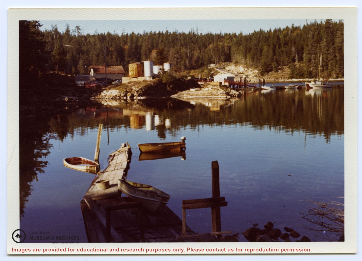
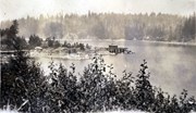
Photograph is an overview of Whaletown and Whaletown Bay, showing the dock and freight shed and the houses across the bay near the current site of the ferry dock.
Photograph is an overview of Whaletown and Whaletown Bay, showing the dock and freight shed and the houses across the bay near the current site of the ferry dock.