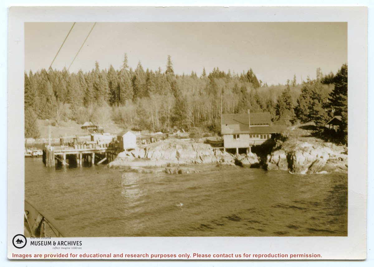
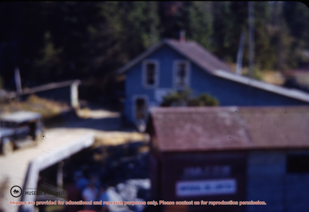
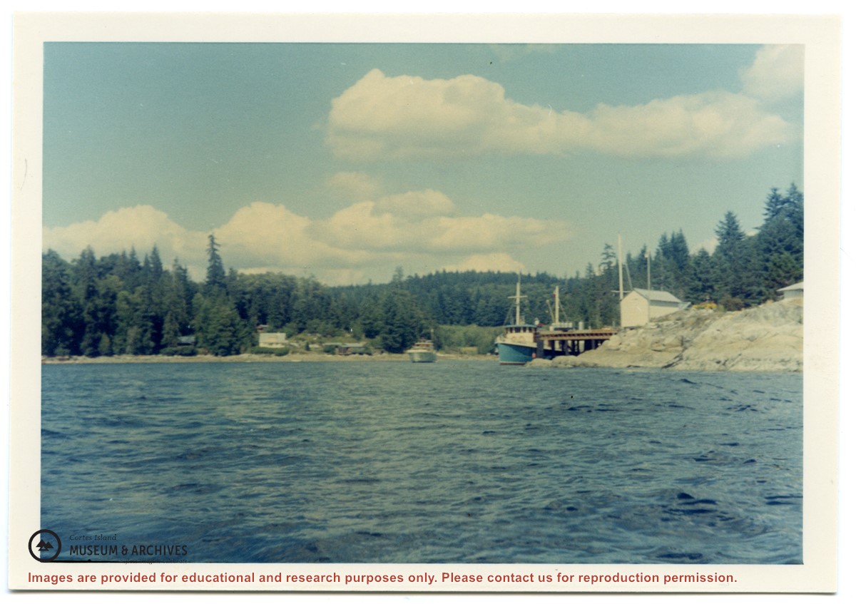
Photograph of Whaletown taken from the water, showing the wharf with the freight shed and fuel shed to its right; the store behind, and the fuel tanks on the rocks to the right.
Photograph of Whaletown taken from the water, showing the wharf with the freight shed and fuel shed to its right; the store behind, and the fuel tanks on the rocks to the right.
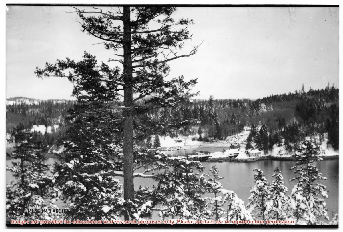
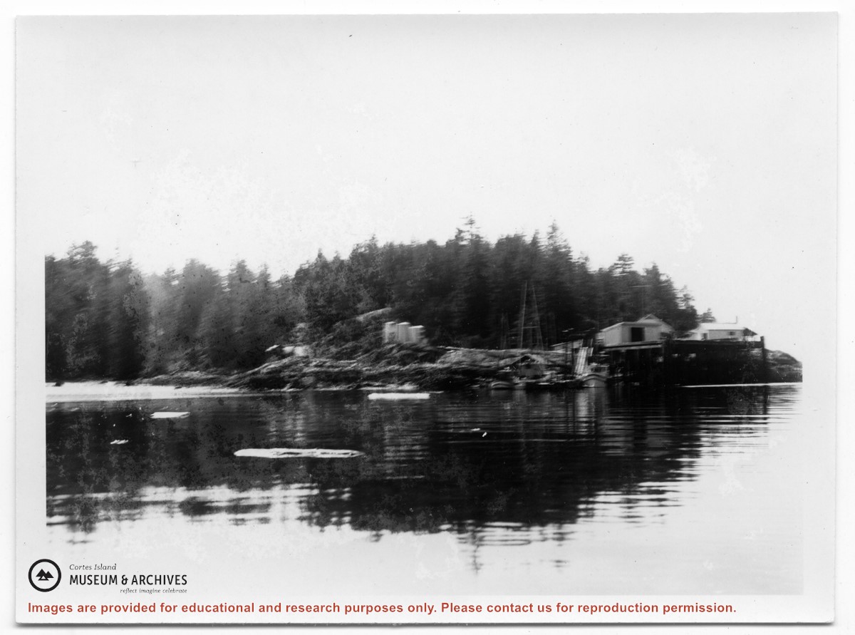
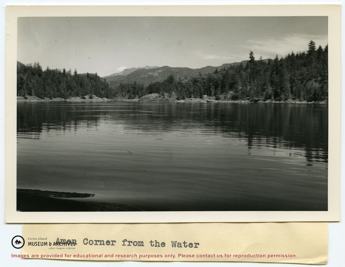
Photograph of Whaletown Bay taken from the water, showing the navigation marker at the entrance, and the houses to the left of the future site of the ferry landing.
Photograph of Whaletown Bay taken from the water, showing the navigation marker at the entrance, and the houses to the left of the future site of the ferry landing.
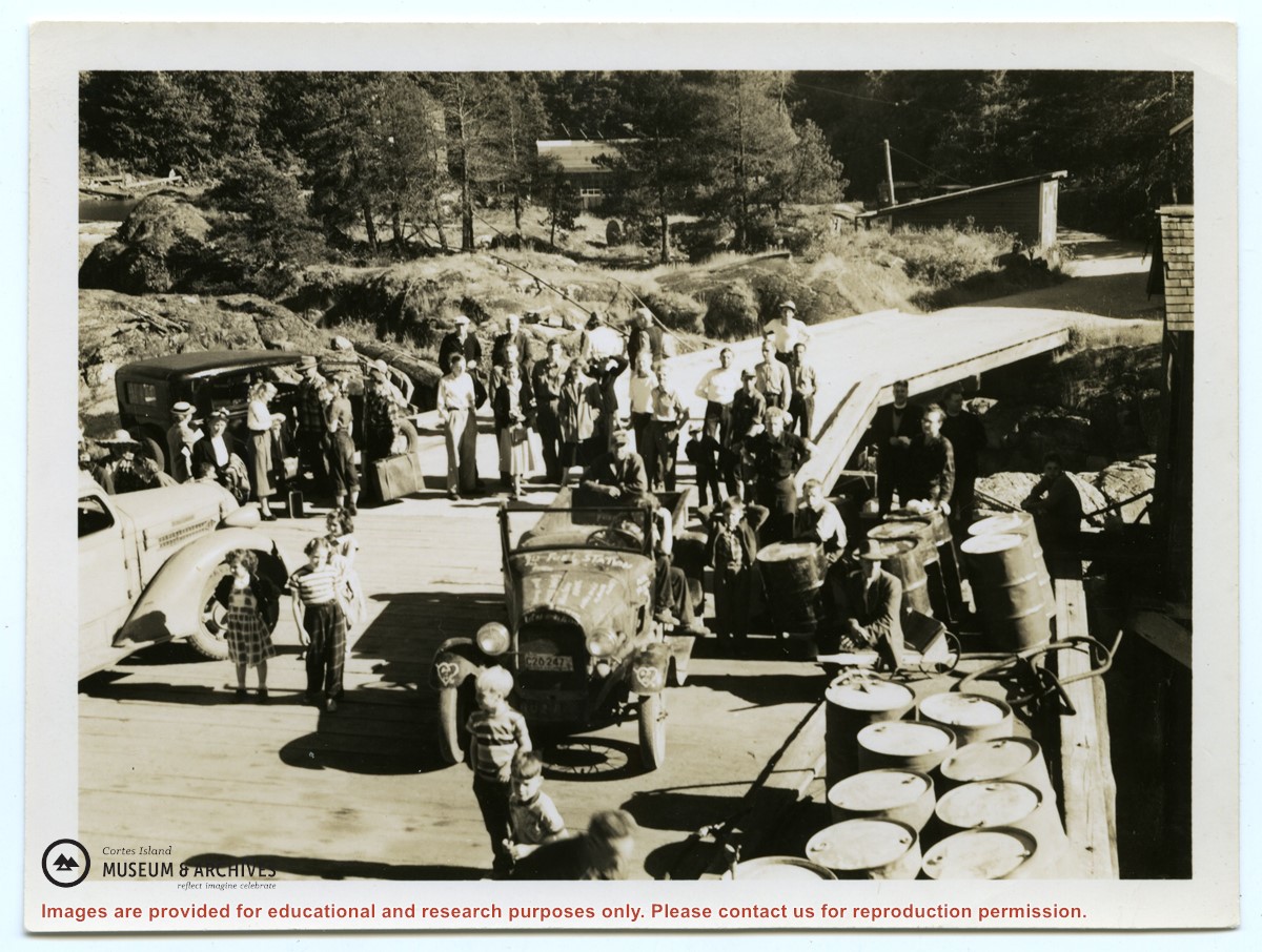
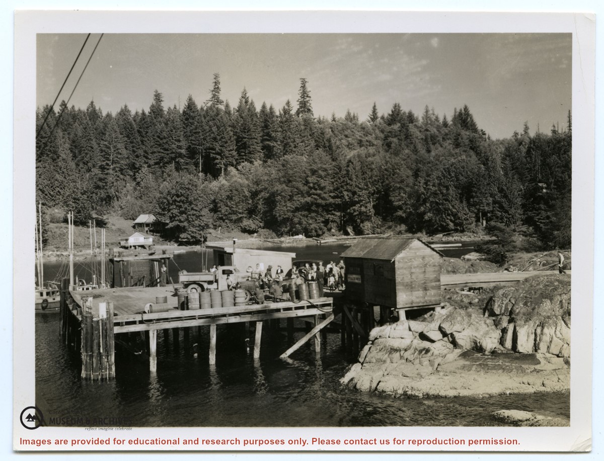
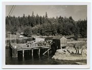
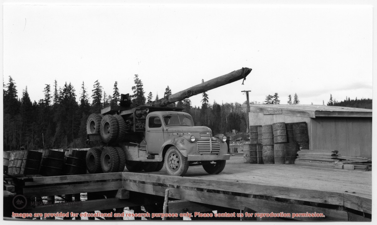
Photograph of the Whaletown wharf, taken from the end of the wharf. Their are several vehicles and a crowd of people on the wharf. Fuel barrels are on the right, and the fuel shed and other buildings are at the head of the wharf and down the road.
Photograph of the Whaletown wharf, taken from the end of the wharf. Their are several vehicles and a crowd of people on the wharf. Fuel barrels are on the right, and the fuel shed and other buildings are at the head of the wharf and down the road.
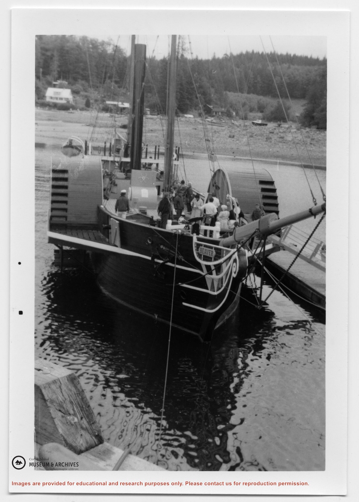
Photograph, taken from the water, of a crowd on the Whaletown wharf. The fuel shed is to the right; there are fuel barrels on the wharf, along with a truck. Notes on the back by Doreen Huck Thompson identify the houses visible across the bay.
Photograph, taken from the water, of a crowd on the Whaletown wharf. The fuel shed is to the right; there are fuel barrels on the wharf, along with a truck. Notes on the back by Doreen Huck Thompson identify the houses visible across the bay.