File contains five maps of Hernando Island: two showing plans of pre-emptions, 1891-1892; two copies of an old hand-drawn map, 1955; and one map of a later proposed development (undated). Some maps have notes on homesteads.
File contains five maps of Hernando Island: two showing plans of pre-emptions, 1891-1892; two copies of an old hand-drawn map, 1955; and one map of a later proposed development (undated). Some maps have notes on homesteads.
File contains a hand-drawn map of Hernando Island showing original pre-emptions, with information about settlement, schools and changes of title written on it.
File contains a hand-drawn map of Hernando Island showing original pre-emptions, with information about settlement, schools and changes of title written on it.
File contains various local publications: Blue Jay Lake Gardening Partners newsletter, BC Ferries newsletter, Whaletown National Enquirer and SCCA newsletter.
File contains various local publications: Blue Jay Lake Gardening Partners newsletter, BC Ferries newsletter, Whaletown National Enquirer and SCCA newsletter.
File contains correspondence and associated materials about logging on Cortes, including a letter from Ken Hansen to Friends of Cortes Island, and a membership form with a description of FOCI aims.
File contains correspondence and associated materials about logging on Cortes, including a letter from Ken Hansen to Friends of Cortes Island, and a membership form with a description of FOCI aims.
File contains an informational booklet created by the Friends of Cortes through a grant from Canada Works. Topics include island geography, social and natural history, place names and tourist education.
File contains an informational booklet created by the Friends of Cortes through a grant from Canada Works. Topics include island geography, social and natural history, place names and tourist education.
The base map is a zoning map produced by the Regional District of Comox-
Strathcona for the Cortes Island Land Use Project (Aug 1969). Edwards used
coloured pencil to show land and foreshore zones, and transferred information
about early preemptions and old roads and trails from an earlier map (see
Donald Palmer fonds, 2020.002.011, map of Cortes Island, Sayward District, ca.
1915).
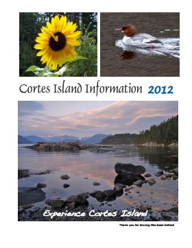
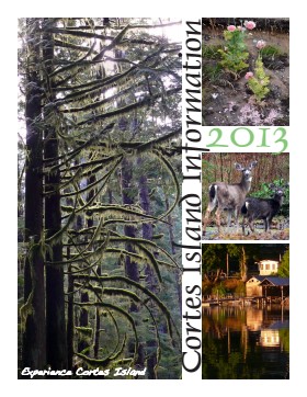
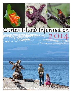
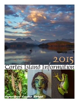
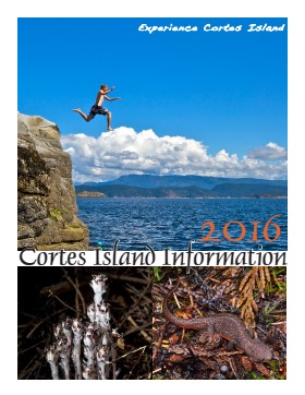
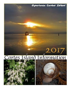
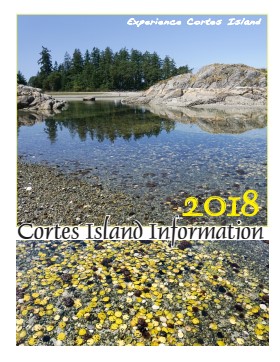
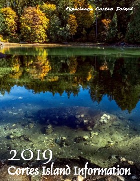
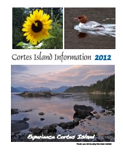
Series of 12 spiral-bound booklets containing information about activities, businesses, events, services and articles about various aspects of island life. There are two copies of 2015.
Cortes Island Information Books were initiated by Carol London, who wanted a handbook to give to guests at Tai Li Lodge. The first issues were created by Carina Verhoeve, and after 2012, by Gina Trzesicka.
Scope and Content
Series of 12 spiral-bound booklets containing information about activities, businesses, events, services and articles about various aspects of island life. There are two copies of 2015.
File contains a copy of a booklet produced by the Campbell River Genealogy Club in 1993, with notes of burials and changes, mostly for the Mansons Landing Cemetery, to 2020.
File contains a copy of a booklet produced by the Campbell River Genealogy Club in 1993, with notes of burials and changes, mostly for the Mansons Landing Cemetery, to 2020.