Articles and newspaper clippings announcing book launches and reviewing books, event posters, emails, and advertisements relating to local authors or works written about Cortes, 1999-2018; Obituary for June Cameron 1929-2016; two clippings from WNE 1998, 1999; two copies of Islandwords, writing on Cortes, 2000.
Articles and newspaper clippings announcing book launches and reviewing books, event posters, emails, and advertisements relating to local authors or works written about Cortes, 1999-2018; Obituary for June Cameron 1929-2016; two clippings from WNE 1998, 1999; two copies of Islandwords, writing on Cortes, 2000.
Clippings, emails, posters, brochures and pamphlets with info on museum history and featuring museum exhibits and events, 1996-2017. Copy of B.C. Museum Roundup, British Columbia Museum Association, 2001. Info on Museum stats and lease, 2010-2017
Clippings, emails, posters, brochures and pamphlets with info on museum history and featuring museum exhibits and events, 1996-2017. Copy of B.C. Museum Roundup, British Columbia Museum Association, 2001. Info on Museum stats and lease, 2010-2017
Info on social gatherings of early settlers such as picnics, shows and dances. Printed photos and descriptions of settler social life from 1930s-1950s. Old posters for Community Club meeting and a Masquerade Ball. Keywords: Boat Days, Cortes Day, Regatta at Corneille's.
Info on social gatherings of early settlers such as picnics, shows and dances. Printed photos and descriptions of settler social life from 1930s-1950s. Old posters for Community Club meeting and a Masquerade Ball. Keywords: Boat Days, Cortes Day, Regatta at Corneille's.
The base map is a zoning map produced by the Regional District of Comox-
Strathcona for the Cortes Island Land Use Project (Aug 1969). Edwards used
coloured pencil to show land and foreshore zones, and transferred information
about early preemptions and old roads and trails from an earlier map (see
Donald Palmer fonds, 2020.002.011, map of Cortes Island, Sayward District, ca.
1915).
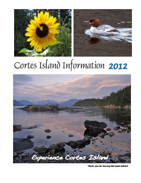
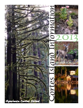
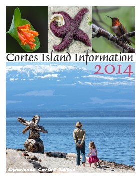
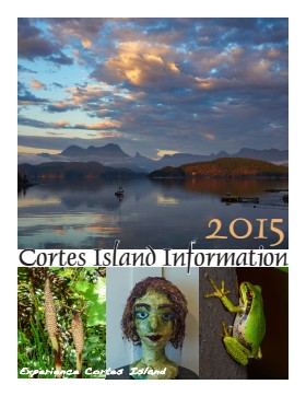
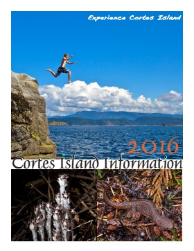
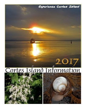
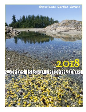
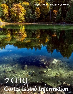
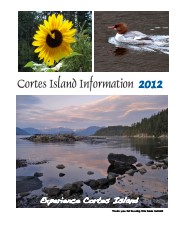
Series of 12 spiral-bound booklets containing information about activities, businesses, events, services and articles about various aspects of island life. There are two copies of 2015.
Cortes Island Information Books were initiated by Carol London, who wanted a handbook to give to guests at Tai Li Lodge. The first issues were created by Carina Verhoeve, and after 2012, by Gina Trzesicka.
Scope and Content
Series of 12 spiral-bound booklets containing information about activities, businesses, events, services and articles about various aspects of island life. There are two copies of 2015.