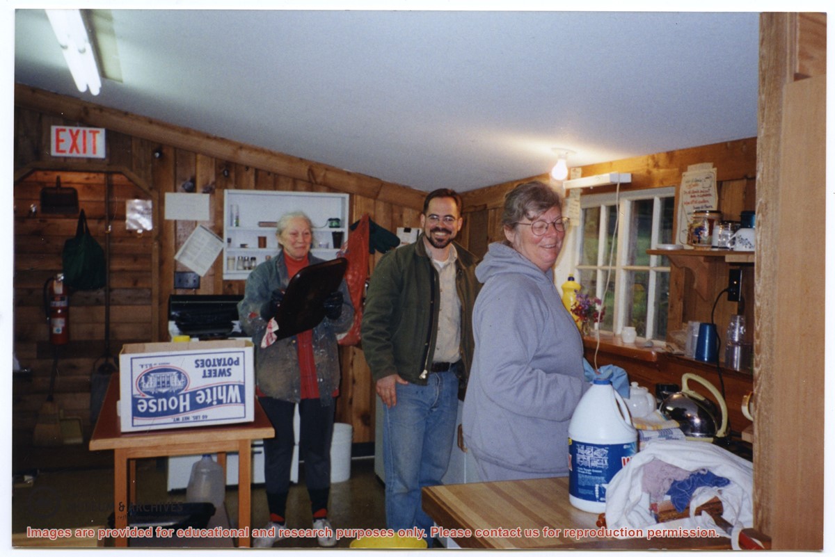
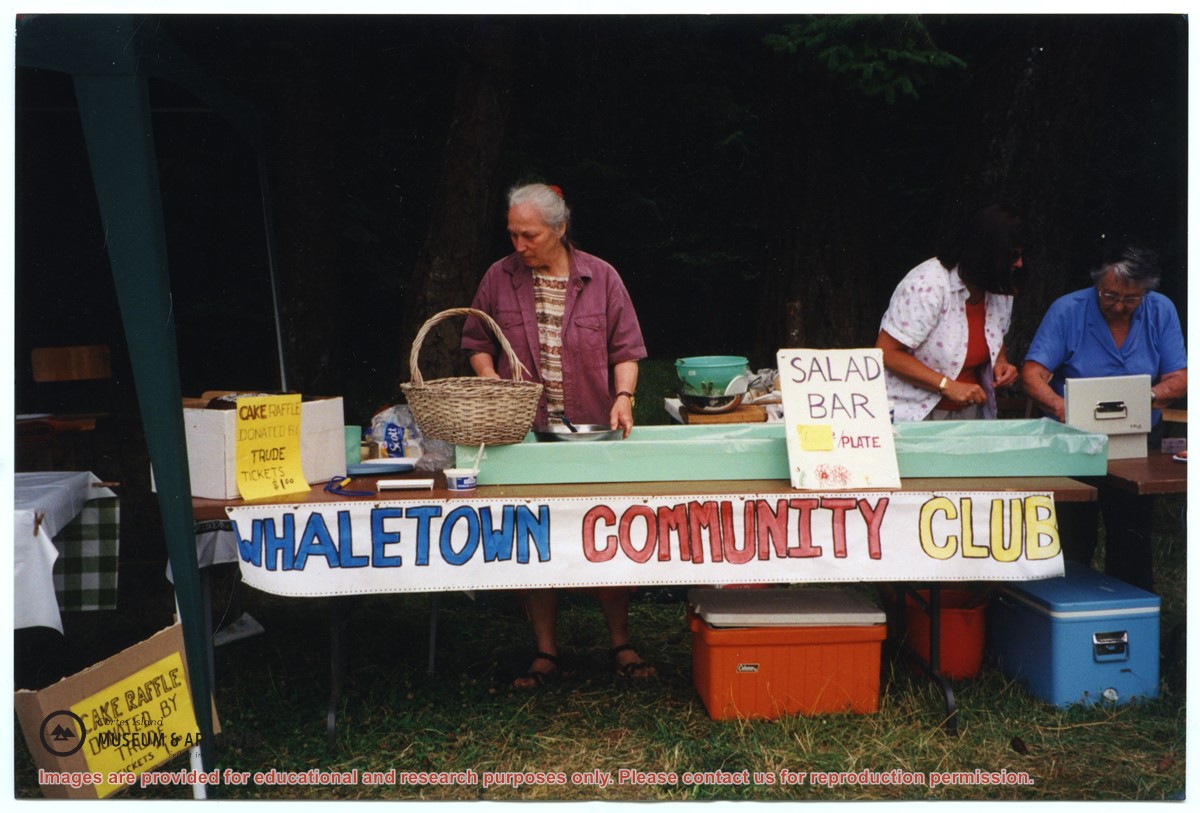
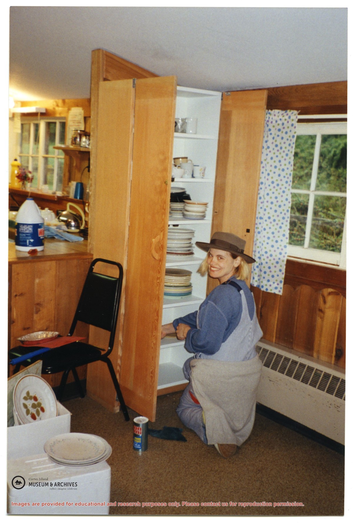
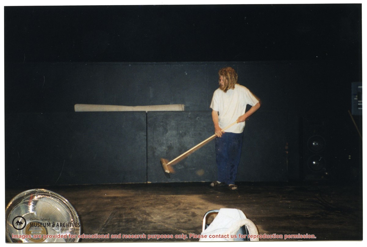
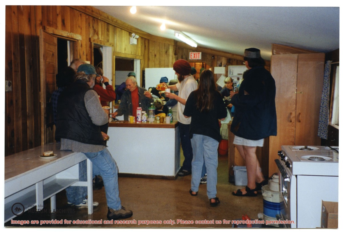
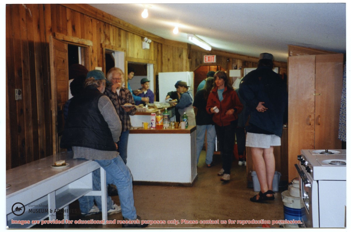
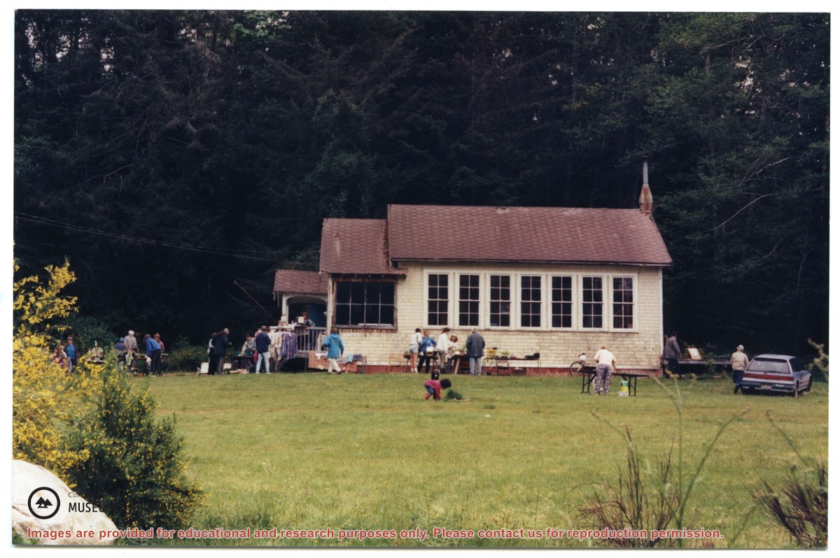
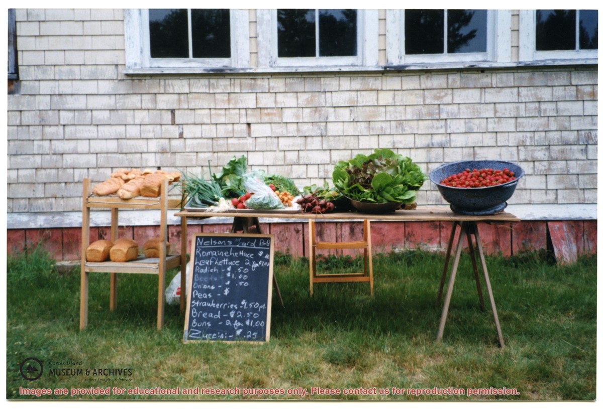
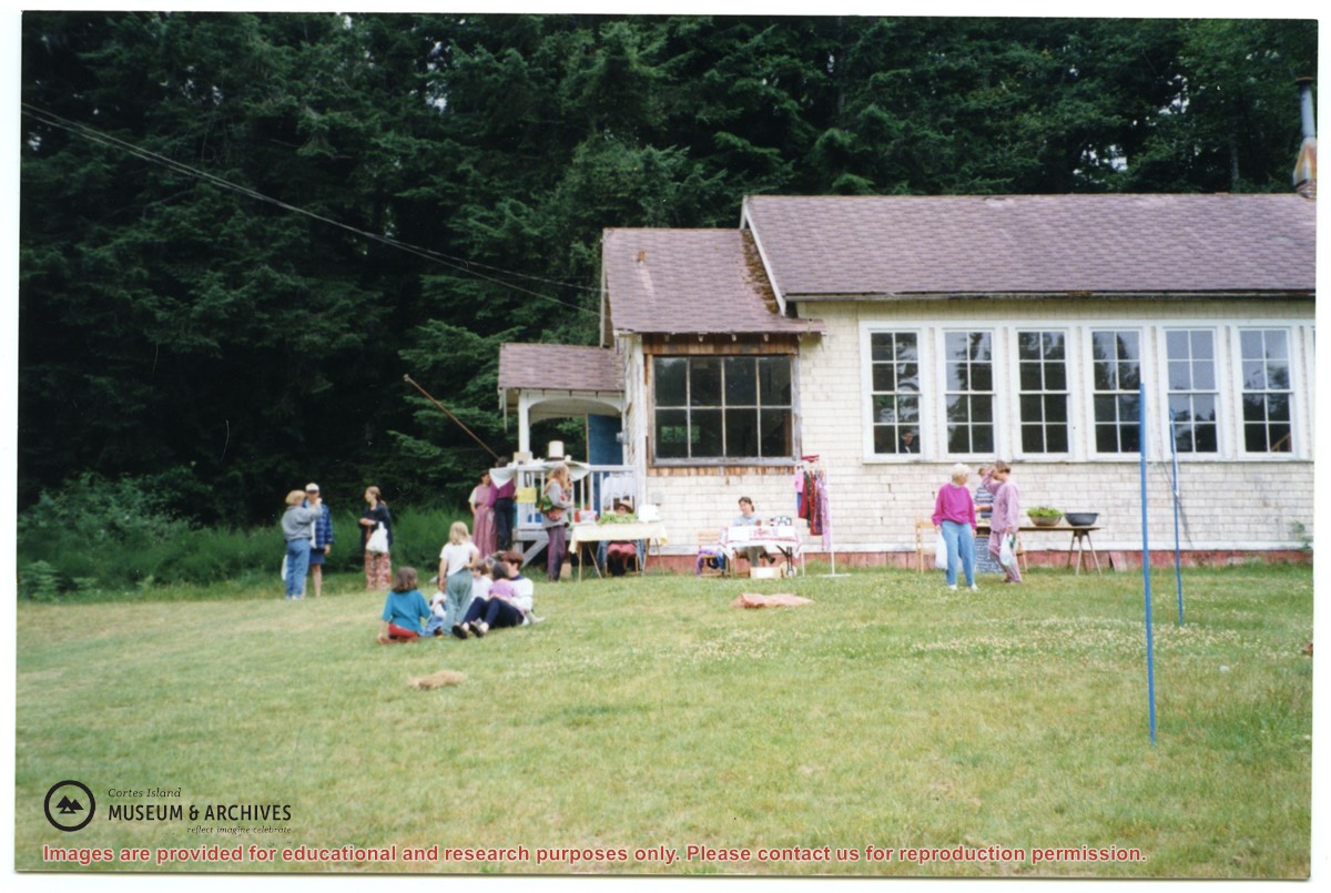
File contains photographs of a work bee at the Gorge Hall, bowling groups from Quadra and Cortes, people outside the old Whaletown school, and the Cortes Day salad bar (with Trude Sweeny).
File contains photographs of a work bee at the Gorge Hall, bowling groups from Quadra and Cortes, people outside the old Whaletown school, and the Cortes Day salad bar (with Trude Sweeny).
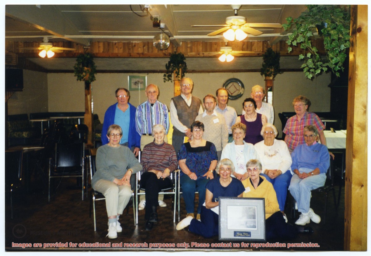
File consists of pages originally kept in a green binder. They are a mix of photographs and text and contain membership lists and accounts of activities, including a history of the Walking Group.
File consists of pages originally kept in a green binder. They are a mix of photographs and text and contain membership lists and accounts of activities, including a history of the Walking Group.
File contains framework agreements, meeting notes, correspondence, Nursall's handwritten notes, discussion papers, maps and reports. All material is from a binder titled "DSRAC".
File contains framework agreements, meeting notes, correspondence, Nursall's handwritten notes, discussion papers, maps and reports. All material is from a binder titled "DSRAC".
File contains materials related to Raven Forest Products Ltd's proposal for logging in Section 38 on Cortes Island, including maps, correspondence, meeting transcripts, and newsletters.
File contains materials related to Raven Forest Products Ltd's proposal for logging in Section 38 on Cortes Island, including maps, correspondence, meeting transcripts, and newsletters.
Page 2 - 4 photographs of Oliver and Mary Ward on Manson's Landing wharf; 1 photograph of a group of people on the wharf, including Eve Rickenbacker and Maurice Dronsfield.
Page 2 - 4 photographs of Oliver and Mary Ward on Manson's Landing wharf; 1 photograph of a group of people on the wharf, including Eve Rickenbacker and Maurice Dronsfield.
Page 2 - 4 photographs of Oliver and Mary Ward on Manson's Landing wharf; 1 photograph of a group of people on the wharf, including Eve Rickenbacker and Maurice Dronsfield.
Page 2 - 4 photographs of Oliver and Mary Ward on Manson's Landing wharf; 1 photograph of a group of people on the wharf, including Eve Rickenbacker and Maurice Dronsfield.
File contains information on subdivision and title changes, and a photocopy of the original Crown grant, in the Whaletown Lagoon area, to:
Samuel Thompson: 1894, Crown Grant for SW 1/4 of Section 35 and NW 1/4 of Section 34, 160 acres
File also contains four maps (stored in the Map Cabinet):
1) Subdivision map of part of NE 1/4 of Sec. 34 and part of NE 1/4 of Sec. 34, 1995
2) Subdivision Plan of NW 1/4 of Sec. 34 and NE 1/4 of Sec. 34 and part of E 1/2 of SE 1/2 of Sec. 34, 1995
3) Subdivision Plan of Lot A, NW 1/4 of Sec. 34, 1976
4) Subdivision Plan of part of NW 1/4 of Section 34, 1994
(Files 9 and 10 are from the same envelope.)
File contains title information and photocopies of land grants and subsequent conveyances for the following:
John Williams: 1914, Crown Grant for the fractional SW 1/4 of Sec 22 and fractional NW 1/4 of Sec 22 (east of Gorge Harbour entrance)
John Williams: 1914, Crown Grant for the fractional SW 1/4 of Sec 22 and frac. NW 1/4 of Sec 18 (west of the Gorge Harbour entrance)
File contains three oversize maps which are stored in the map cabinet: Map of Section 22, Plan VIP52378, Lots A,B,C (blueprint map; 85 cm x 54 cm, 1985); map of Plan 27966 (blueprint map; 55 cm x 43 cm, 1974); photocopy of map of fractional NW 1/4 Sec 17 (55 cm x 43 cm, 1973)
(Files 3 through 7 are from the same envelope.)
File contains a photocopy of Crown Grant and documentation of subsequent changes in title for:
William Barrett Lennard: 1928, Crown Grant for the SE and SW 1/4s of Section 23 (on the SE shore of Gorge Harbour)
(Files 3 through 7 are from the same envelope.)
File contains a photocopy of Crown Grant and documentation of subsequent changes in title for:
William Barrett Lennard: 1928, Crown Grant for the SE and SW 1/4s of Section 23 (on the SE shore of Gorge Harbour)
(Files 3 through 7 are from the same envelope.)
File contains a photocopy of Crown Grant and documentation of subsequent changes in title for:
Eliza Breeze: 1920, Crown Grant for Fractional NW 1/4 of Section 18 (east of the entrance to Gorge Harbour)
(Files 3 through 7 are from the same envelope.)
File contains a photocopy of Crown Grant and documentation of subsequent changes in title for:
Eliza Breeze: 1920, Crown Grant for Fractional NW 1/4 of Section 18 (east of the entrance to Gorge Harbour)
(Files 3 through 7 are from the same envelope.)
File contains a section map showing properties southeast of Gorge Harbour and title information on the property, later owned by Gilean Douglas, and known as Channel Rock.
To John Pool: 1930, Crown Grant of the W 1/2 of the SE 1/4 of Sec. 21 and fractional SW 1/4 of Sec. 21 and Crown Grant fo the fractional E 1/2 of fractional SE 1/4 of Sec. 21
Binder contains interviews, stories and pictures. Binder contains interviews, stories and pictures. It was created in 2001 as part of the exhibit "The Von Donop Creek Story - 1920-1960", curated and mounted by Doreen Thompson.
Binder contains interviews, stories and pictures. Binder contains interviews, stories and pictures. It was created in 2001 as part of the exhibit "The Von Donop Creek Story - 1920-1960", curated and mounted by Doreen Thompson.