File contains minutes, agendas and other material relating to meetings of the Klahoose Table, attended by members of CILAC, Klahoose First Nations and government negotiators. It includes material relating to a proposed park at Carrington Bay.
File contains minutes, agendas and other material relating to meetings of the Klahoose Table, attended by members of CILAC, Klahoose First Nations and government negotiators. It includes material relating to a proposed park at Carrington Bay.
File contains correspondence regarding development in Carrington Bay, between Friends of Cortes Island (FOCI), Regional Director George Sirk, and Klahoose First Nation.
File contains correspondence regarding development in Carrington Bay, between Friends of Cortes Island (FOCI), Regional Director George Sirk, and Klahoose First Nation.
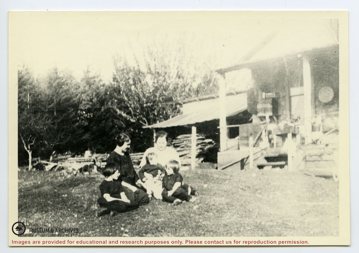
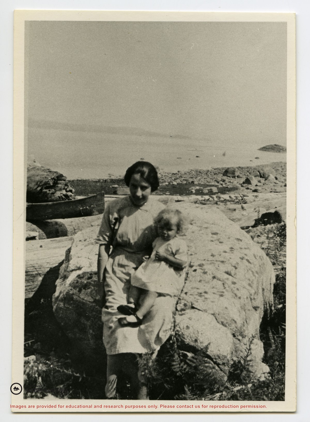
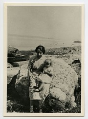
Robina (Manson) Freeman, Frank Fox holding Wilfred Freeman, Mike Manson, Flossy (Manson) Kenny, Ralph Kenny, Alma (Martin) Wiedman, May Freeman, Carl Wiedman, George Freeman
Robina (Manson) Freeman, Frank Fox holding Wilfred Freeman, Mike Manson, Flossy (Manson) Kenny, Ralph Kenny, Alma (Martin) Wiedman, May Freeman, Carl Wiedman, George Freeman
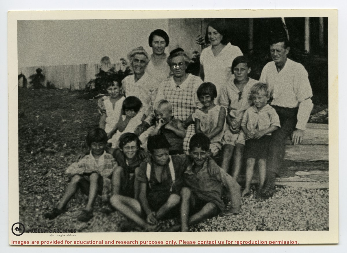
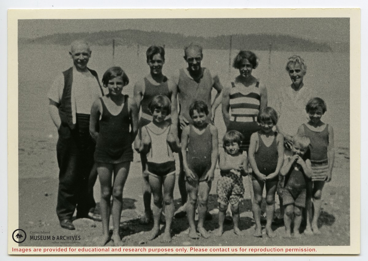
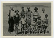
Photograph shows members of the Michael Manson extended family in bathing costumes. The are identified as Mr. Niven, Muriel Hurren, Jim Niven, Dick Parker, Thelma Campbell, Audrey Kenny, Jean Manson, Eileen Kenny, Minerva Campbell, Mrs. Niven, Dorothy Manson and Lorne Campbell.
Photograph shows members of the Michael Manson extended family in bathing costumes. The are identified as Mr. Niven, Muriel Hurren, Jim Niven, Dick Parker, Thelma Campbell, Audrey Kenny, Jean Manson, Eileen Kenny, Minerva Campbell, Mrs. Niven, Dorothy Manson and Lorne Campbell.
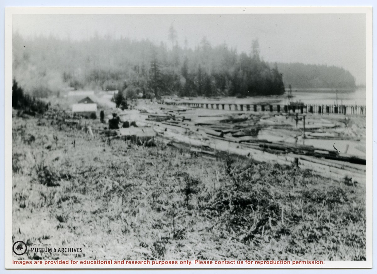
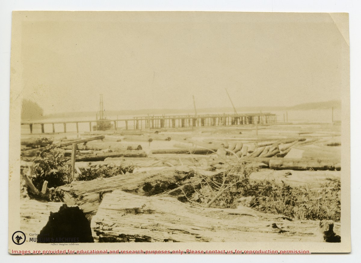
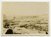
File contains five maps of Hernando Island: two showing plans of pre-emptions, 1891-1892; two copies of an old hand-drawn map, 1955; and one map of a later proposed development (undated). Some maps have notes on homesteads.
File contains five maps of Hernando Island: two showing plans of pre-emptions, 1891-1892; two copies of an old hand-drawn map, 1955; and one map of a later proposed development (undated). Some maps have notes on homesteads.
.jpg?width=1200&404=no-img.jpg&watermark=wmk)
.jpg?width=1200&404=no-img.jpg&watermark=wmk)
.jpg?width=180&404=no-img.jpg)
.jpg?width=1200&404=no-img.jpg&watermark=wmk)
.jpg?width=1200&404=no-img.jpg&watermark=wmk)
.jpg?width=180&404=no-img.jpg)

.jpg?width=1200&404=no-img.jpg&watermark=wmk)
.jpg?width=1200&404=no-img.jpg&watermark=wmk)
.jpg?width=180&404=no-img.jpg)
.jpg?width=1200&404=no-img.jpg&watermark=wmk)
.jpg?width=1200&404=no-img.jpg&watermark=wmk)
.jpg?width=180&404=no-img.jpg)