Coloured map of southwestern BC showing municipalities, geographical features, land and sea routes, natural resources, etc. The back of the map is fully printed with information about BC and suggested travel itineraries.
Map needs preservation: edges are frayed and there are several tears.
Coloured map of southwestern BC showing municipalities, geographical features, land and sea routes, natural resources, etc. The back of the map is fully printed with information about BC and suggested travel itineraries.
Map needs preservation: edges are frayed and there are several tears.
Map of the British Empire, drawn by Eric Dinickel for publication in the June, 1953 issue of Maclean’s (the month of the coronation of Queen Elizabeth II). Printed in full colour.
Map of the British Empire, drawn by Eric Dinickel for publication in the June, 1953 issue of Maclean’s (the month of the coronation of Queen Elizabeth II). Printed in full colour.
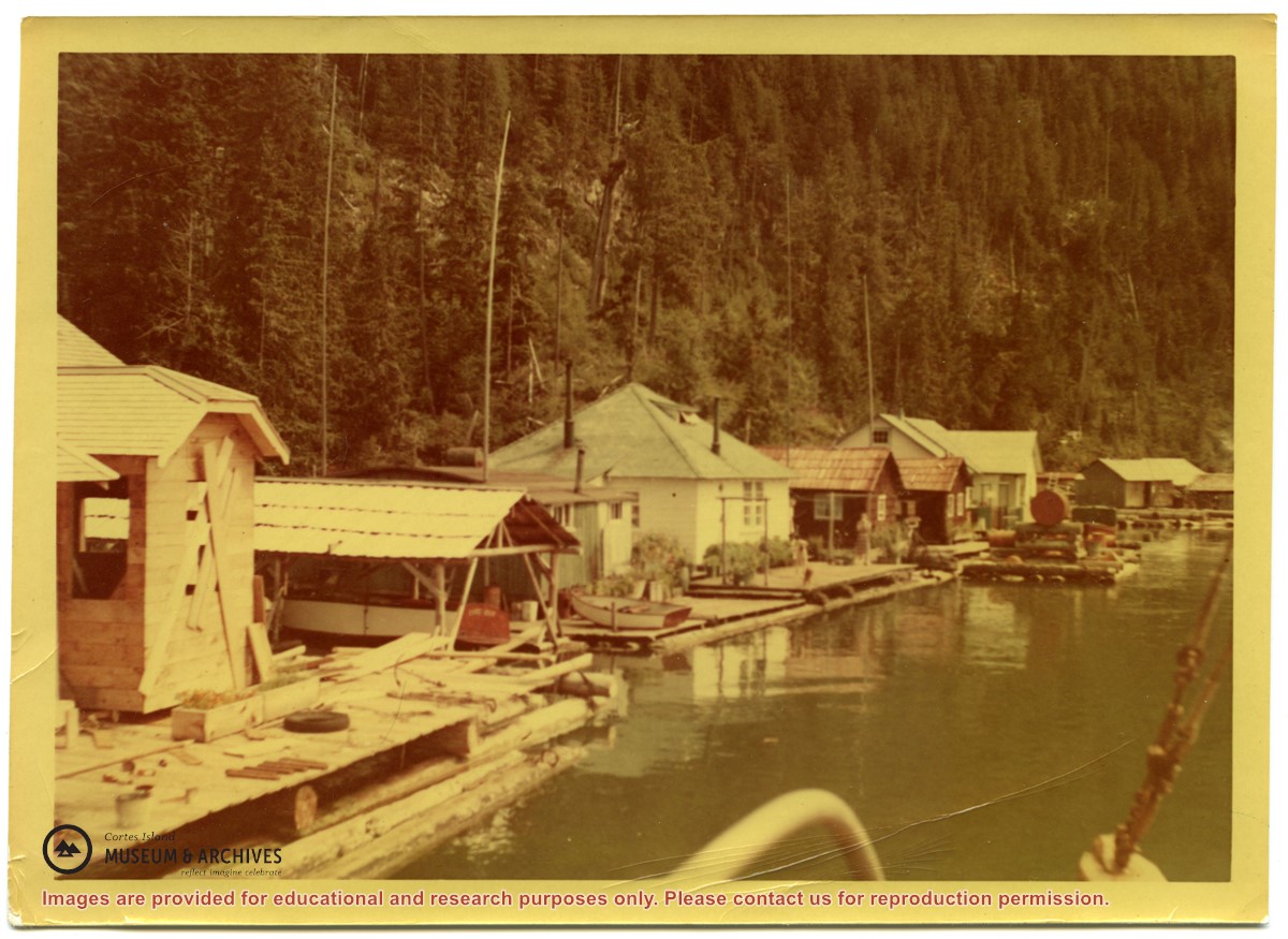
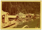
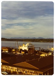
Photograph of a row of buildings on floats. From Left there is a building under construction; a roofed-over area for storing a boat; a white floathouse with container gardens in front;several more houses and a float with a large fuel drum.
Photograph of a row of buildings on floats. From Left there is a building under construction; a roofed-over area for storing a boat; a white floathouse with container gardens in front;several more houses and a float with a large fuel drum.
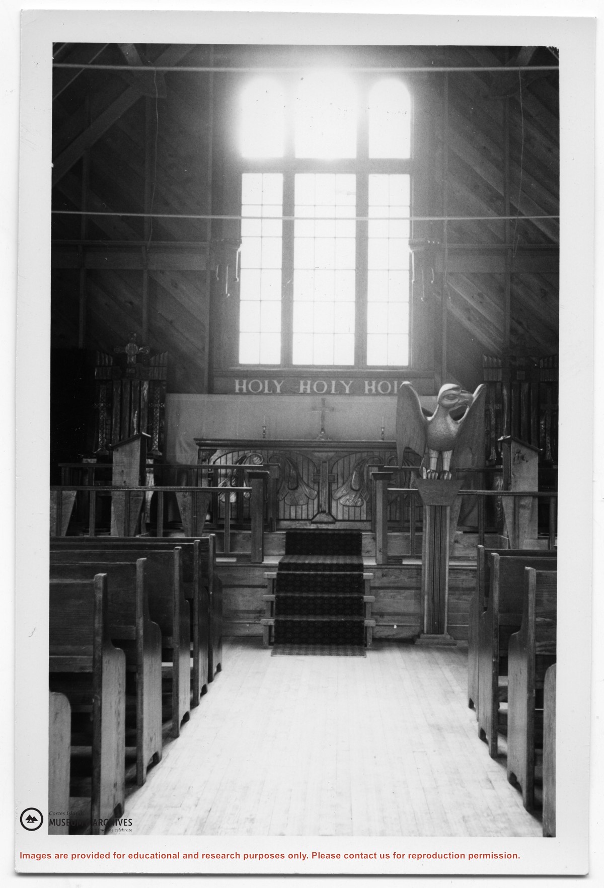
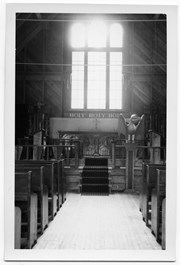
Photograph of the interior of the church at Kingcome Inlet, showing the center aisle leading to the altar, with a window behind. The front of the altar is carved, and there is a carved wooden eagle with wings outstretched on a post in front of the altar.
Photograph of the interior of the church at Kingcome Inlet, showing the center aisle leading to the altar, with a window behind. The front of the altar is carved, and there is a carved wooden eagle with wings outstretched on a post in front of the altar.