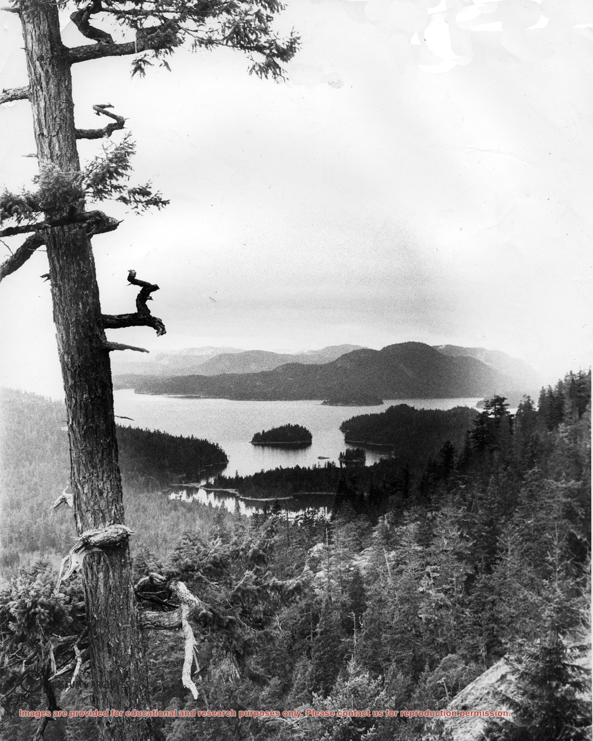
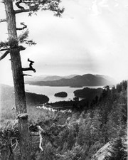
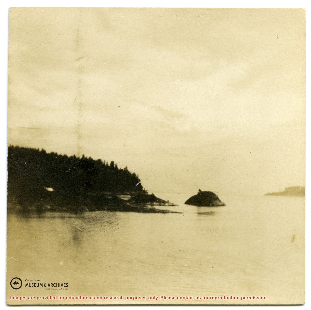
Looking north from Green Mountain over Carrington Lagoon and Carrington Bay (tidal falls in between) across 5 miles of water to Read Island, with a slew of islands to the north.
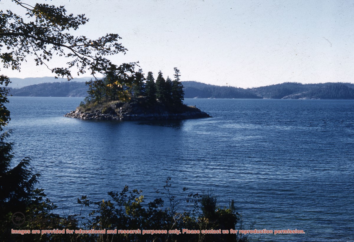
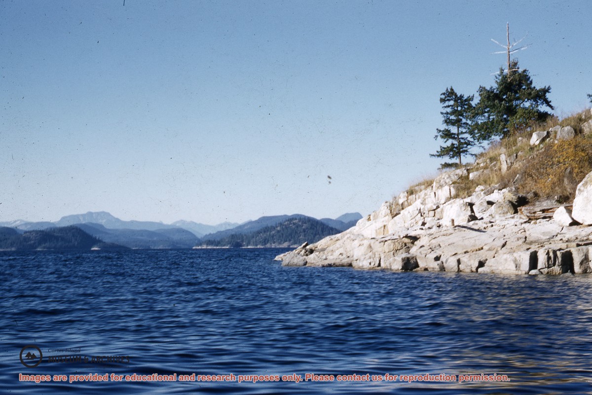
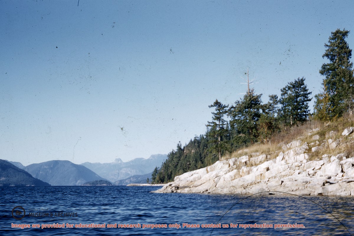
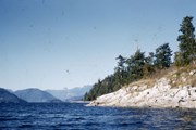
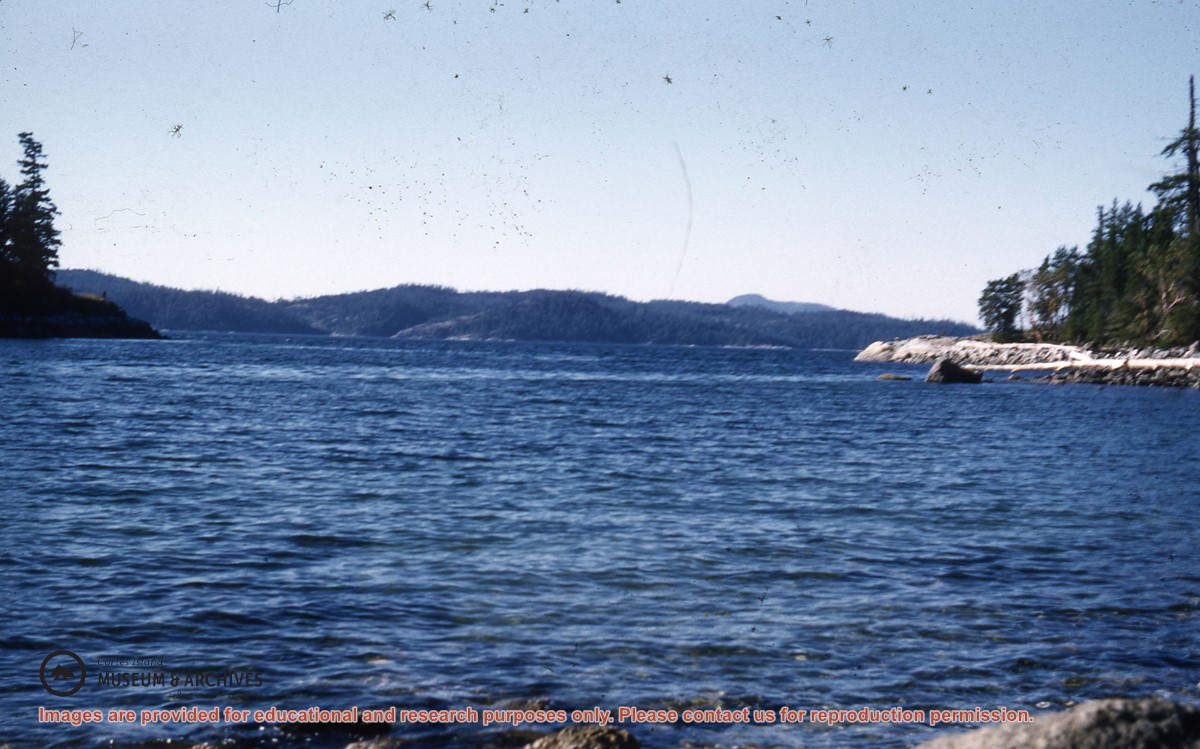
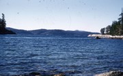
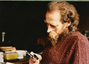
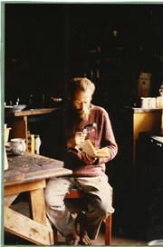
Part of a series of 5 photographs taken by a couple from Germany who were visiting Hans Dolezol (also known as Hans Croker), who lived in the Round House on the property of Paula Snow (now 1474 Robertson Rd.) during the late 1970s until his death in 1982.
Part of a series of 5 photographs taken by a couple from Germany who were visiting Hans Dolezol (also known as Hans Croker), who lived in the Round House on the property of Paula Snow (now 1474 Robertson Rd.) during the late 1970s until his death in 1982.
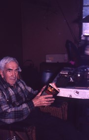
One of a series of 5 photographs taken by a couple from Germany who were visiting Hans Dolezol (also known as Hans Croker), who lived in the Round House on the property of Paula Snow (now 1474 Robertson Rd.) during the late 1970s until his death in 1982.
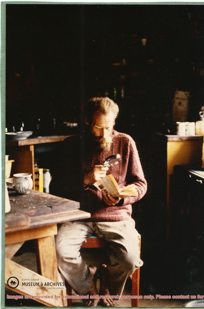
One of a series of 5 photographs taken by a couple from Germany who were visiting Hans Dolezol (also known as Hans Croker), who lived in the Round House on the property of Paula Snow (now 1474 Robertson Rd.) during the late 1970s until his death in 1982.
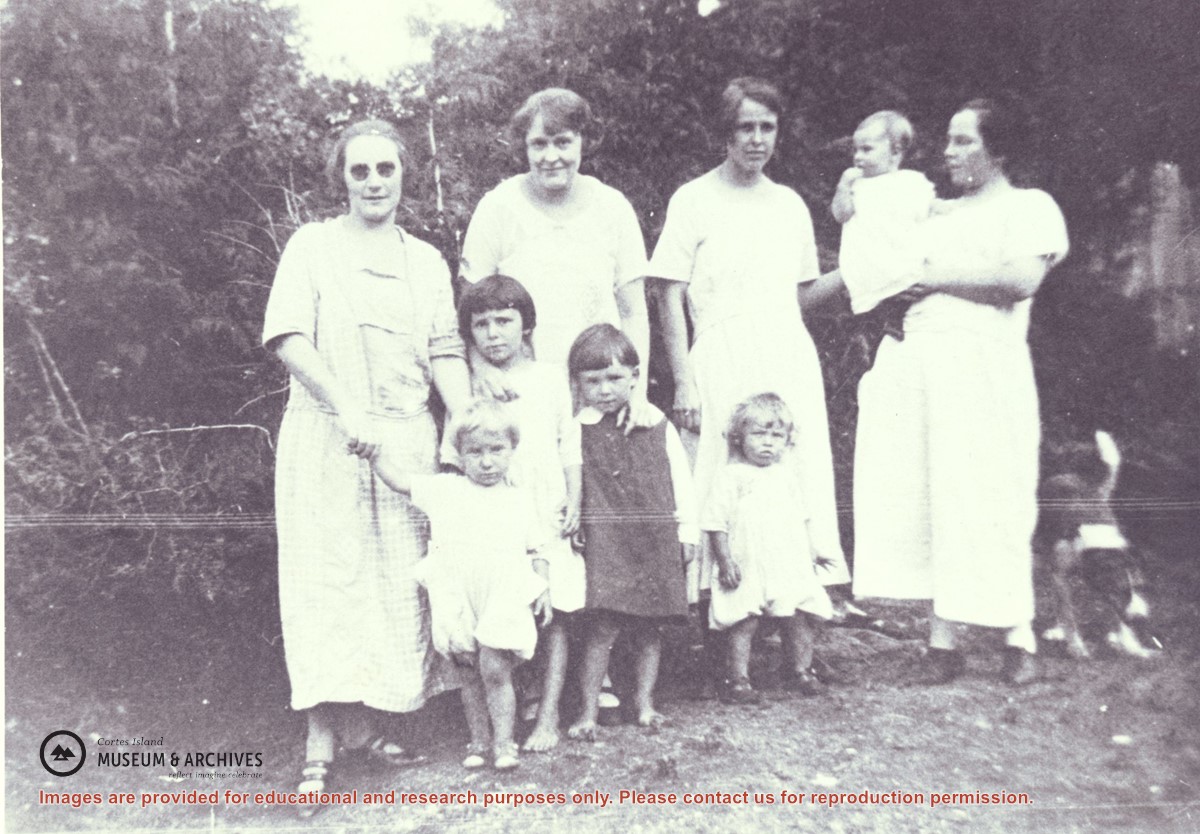
Families of Hernando Island men who worked together in a very small logging enterprise.
L to R: Mrs. Gwen (Fraser) Campbell holding Thelma's hand, Mrs. C. Owen (friend) behind Etta and Hazel McKay, Mrs. Jean (Wilfred) Manson behind Dorothy, Mrs. Florence (Ervin) McKay holding Minerva Campbell.
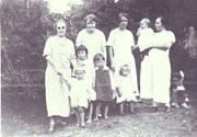
Families of Hernando Island men who worked together in a very small logging enterprise.
L to R: Mrs. Gwen (Fraser) Campbell holding Thelma's hand, Mrs. C. Owen (friend) behind Etta and Hazel McKay, Mrs. Jean (Wilfred) Manson behind Dorothy, Mrs. Florence (Ervin) McKay holding Minerva Campbell.
File consists of corrrespondence, financial statements, planning notes, lists of volunteers, food and supplies generated in the course of Whaletown Community Club participation in the annual Cortes Day barbecue and dance.
1 folder of textual records including 1 scribbler notebook
Scope and Content
File consists of corrrespondence, financial statements, planning notes, lists of volunteers, food and supplies generated in the course of Whaletown Community Club participation in the annual Cortes Day barbecue and dance.
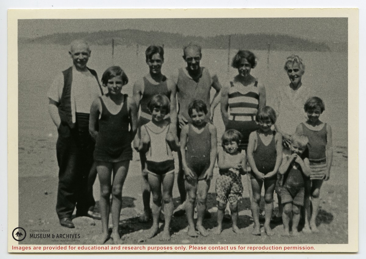
Photograph shows members of the Michael Manson extended family in bathing costumes. The are identified as Mr. Niven, Muriel Hurren, Jim Niven, Dick Parker, Thelma Campbell, Audrey Kenny, Jean Manson, Eileen Kenny, Minerva Campbell, Mrs. Niven, Dorothy Manson and Lorne Campbell.
Photograph shows members of the Michael Manson extended family in bathing costumes. The are identified as Mr. Niven, Muriel Hurren, Jim Niven, Dick Parker, Thelma Campbell, Audrey Kenny, Jean Manson, Eileen Kenny, Minerva Campbell, Mrs. Niven, Dorothy Manson and Lorne Campbell.
File contains correspondence, species inventories of Cortes Island parks, financial information, a report by Fred and Ruth Zwickel on Manson's Spit which includes photographs of erosion (2000), and one clipping.
File contains correspondence, species inventories of Cortes Island parks, financial information, a report by Fred and Ruth Zwickel on Manson's Spit which includes photographs of erosion (2000), and one clipping.
File contains a report by Fred and Ruth Zwickel ("Fauna and Flora Associated with Manson's Lagoon", with photographs); correspondence about water quality in Hague Lake and aquaculture in park boundaries; a Memorandum of Understanding with Klahoose re a marine park in Von Donop Inlet.
File contains a report by Fred and Ruth Zwickel ("Fauna and Flora Associated with Manson's Lagoon", with photographs); correspondence about water quality in Hague Lake and aquaculture in park boundaries; a Memorandum of Understanding with Klahoose re a marine park in Von Donop Inlet.
File contains five maps of Hernando Island: two showing plans of pre-emptions, 1891-1892; two copies of an old hand-drawn map, 1955; and one map of a later proposed development (undated). Some maps have notes on homesteads.
File contains five maps of Hernando Island: two showing plans of pre-emptions, 1891-1892; two copies of an old hand-drawn map, 1955; and one map of a later proposed development (undated). Some maps have notes on homesteads.
File contains a hand-drawn map of Hernando Island showing original pre-emptions, with information about settlement, schools and changes of title written on it.
File contains a hand-drawn map of Hernando Island showing original pre-emptions, with information about settlement, schools and changes of title written on it.